Ramridge Park

Settlement in Hampshire Test Valley

England

Ramridge Park

Privet Lane Heading north.
Privet Lane Credit: Robin Webster

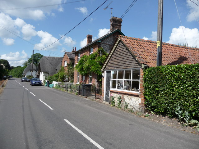
Ramridge Park is a charming and picturesque park located in Hampshire, England. Covering an area of approximately 50 acres, it is a popular destination for locals and tourists alike. The park is nestled amidst the beautiful countryside, offering visitors a tranquil and serene atmosphere to enjoy.

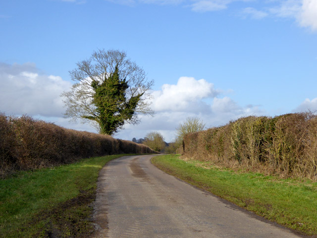
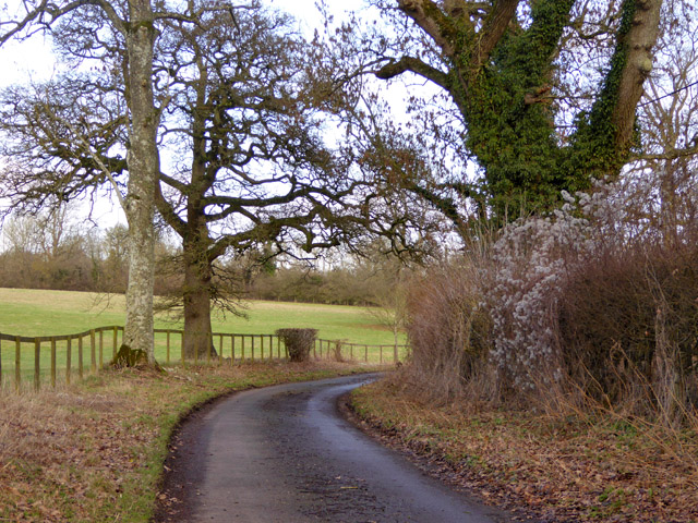
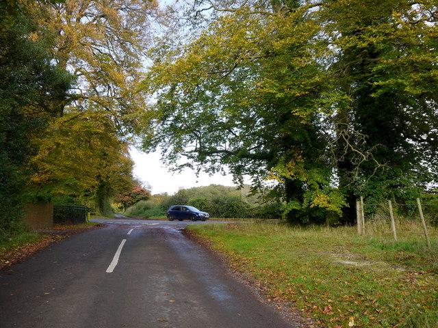
The park boasts stunning landscapes, with rolling hills, lush green meadows, and a variety of trees and flowers that add to its natural beauty. It is an ideal spot for nature lovers and those seeking a peaceful retreat from the hustle and bustle of urban life. The park is also home to a small lake, which further enhances its scenic appeal.

Ramridge Park offers a range of recreational activities for visitors of all ages. It features well-maintained walking trails, perfect for leisurely strolls or vigorous hikes. There are also designated areas for picnics and barbecues, providing an excellent opportunity for families and friends to gather and enjoy a day out in the open. For children, the park offers a well-equipped playground, ensuring hours of fun and entertainment.

In addition to its natural charm, Ramridge Park hosts various events throughout the year. These include music festivals, outdoor theater performances, and seasonal celebrations. These events add vibrancy and a sense of community to the park, attracting visitors from far and wide.

Overall, Ramridge Park is a hidden gem in the heart of Hampshire. With its breathtaking scenery, recreational facilities, and vibrant events, it is a must-visit destination for anyone looking to connect with nature and enjoy a day of relaxation and fun.

If you have any feedback on the listing, please let us know in the comments section below.

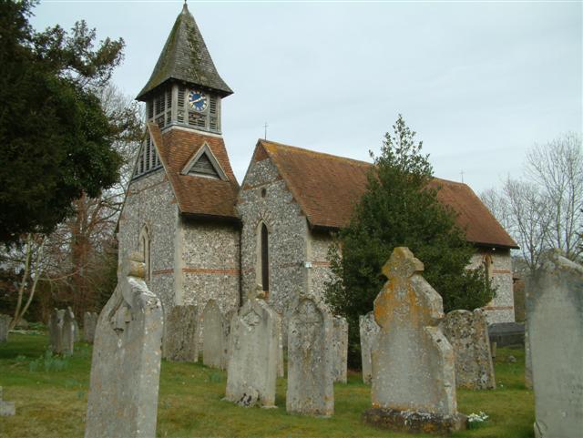
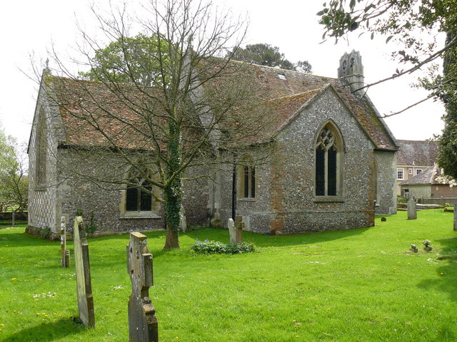
Ramridge Park Images

Images are sourced within 2km of 51.228973/-1.5544113 or Grid Reference SU3147. Thanks to Geograph Open Source API. All images are credited.

Privet Lane Heading north.
Privet Lane
Heading north.
Railway bridge over Privet Lane Bridge LUD2 E5/28 is on the freight only branch to Ludgershall and its military continuation to the military depot there. The branch does not appear to have any regular use. This was formerly part of the long cross-country Midland and South Western Junction line to Andoversford Junction near Cheltenham. This is abandoned beyond Ludgershall.
Railway bridge over Privet Lane
Bridge LUD2 E5/28 is on the freight only branch to Ludgershall and its military continuation to the military depot there. The branch does not appear to have any regular use. This was formerly part of the long cross-country Midland and South Western Junction line to Andoversford Junction near Cheltenham. This is abandoned beyond Ludgershall.
Woodland west of Privet Lane Probably part of the grounds of Redenham House.
Woodland west of Privet Lane
Probably part of the grounds of Redenham House.
Privet Lane Heading towards Redenham.
Privet Lane
Heading towards Redenham.
East Lodge, Redenham Park This appears to be octagonal with a central chimney stack.
East Lodge, Redenham Park
This appears to be octagonal with a central chimney stack.
Privet Lane Heading towards Redenham.
Privet Lane
Heading towards Redenham.
Privet Lane Heading north past Redenham Park on the left.
Privet Lane
Heading north past Redenham Park on the left.
Field of beans East of Privet Lane.
Field of beans
East of Privet Lane.
Private track off Privet Lane
Appleshaw Looking north along minor road Privett Lane with extensive tree replanting on the left.
Appleshaw
Looking north along minor road Privett Lane with extensive tree replanting on the left.
A342 westbound
A342 westbound
A342 Andover road at Privet Lane
Norway Maple by Privet Lane Acer platanoides is not indigenous and rarely pops up in a field setting like this.
The autumn colour is far richer than the native Field Maple - Acer campestre, and closely-related Sycamore.
Hill Copse can be seen beyond.
Norway Maple by Privet Lane
Acer platanoides is not indigenous and rarely pops up in a field setting like this. The autumn colour is far richer than the native Field Maple - Acer campestre, and closely-related Sycamore. Hill Copse can be seen beyond.
Privet Road crossroads Approaching the Andover Road from the south.
Privet Road crossroads
Approaching the Andover Road from the south.
Footpath through Redenham Park The mansion can be seen in the distance.
Footpath through Redenham Park
The mansion can be seen in the distance.
Privet Lane Looking north past the Redenham Park footpath sign - <a href="https://www.geograph.org.uk/photo/3740225">SU2949 : Footpath through Redenham Park</a>.
Privet Lane
Looking north past the Redenham Park footpath sign - SU2949 : Footpath through Redenham Park.
Railway bridge over Privet Lane Bridge LUD2 E5/28 is on the freight only branch to Ludgershall and its military continuation to the military depot there. The branch does not appear to have any regular use. This was formerly part of the long cross-country Midland and South Western Junction line to Andoversford Junction near Cheltenham. This is abandoned beyond Ludgershall.
Railway bridge over Privet Lane
Bridge LUD2 E5/28 is on the freight only branch to Ludgershall and its military continuation to the military depot there. The branch does not appear to have any regular use. This was formerly part of the long cross-country Midland and South Western Junction line to Andoversford Junction near Cheltenham. This is abandoned beyond Ludgershall.
East Lodge, Redenham Park This appears to be octagonal with a central chimney stack.
East Lodge, Redenham Park
This appears to be octagonal with a central chimney stack.
Show me another place!

Ramridge Park is located at Grid Ref: SU3147 (Lat: 51.228973, Lng: -1.5544113)

Administrative County: Hampshire

District: Test Valley

Police Authority: Hampshire

What 3 Words

///term.public.bombshell. Near Abbotts Ann, Hampshire

Related Wikis

Ramridge Park

Ramridge Park is a hamlet in the civil parish of The Pentons in the Test Valley district of Hampshire, England. It is in the civil parish of Penton Grafton...

Ragged Appleshaw

Ragged Appleshaw is a hamlet in the civil parish of Appleshaw in the Test Valley district of Hampshire, England. Its nearest town is Andover, which lies...

Appleshaw

Appleshaw is a village in the English county of Hampshire. The name Appleshaw is derived from Old English ‘scarga’ - a shaugh or wood; thus Appleshaw may...

Clanville

Clanville is a hamlet in the civil parish of Penton Grafton in the Test Valley district of Hampshire, England. The hamlet lies within the North Downs Area...

Weyhill

Weyhill is a village, 2.5 miles (3.8 km) west of Andover, Hampshire. It sits within the civil parish of Penton Grafton, which includes the village of the...

Weyhill railway station

Weyhill railway station was a railway station opened by the Midland and South Western Junction Railway in what is now the western suburbs of Andover, Hampshire...

Redenham

Redenham is a small village in the civil parish of Appleshaw in the Test Valley district of Hampshire, England. It is in the civil Parish of Fyfield....

Penton Mewsey

Penton Mewsey is a village and civil parish in Hampshire, England. It is located 2 miles (3.2 km) north-west of Andover. The village is home to approximately...

Nearby Amenities

Located within 500m of 51.228973,-1.5544113
Bus Stop
Rambridge Park
Naptan AtcoCode: 1900HA100413
Naptan Bearing: N
Naptan CommonName: Rambridge Park
Naptan NaptanCode: hamajpmg
Naptan Street: Unamed Road to Clanville
Naptan Verified: no
Source: naptan_import
Lat/Long: 51.2279051/-1.549962
Bus Stop
Rambridge Park
Naptan AtcoCode: 1900HA100414
Naptan Bearing: S
Naptan CommonName: Rambridge Park
Naptan NaptanCode: hamajpmj
Naptan Street: Unamed Road to Clanville
Naptan Verified: no
Source: naptan_import
Lat/Long: 51.2278868/-1.5498906
Post Box
Post Box Type: lamp
Ref: SP11 170D
Royal Cypher: EIIR
Royal Cypher Wikidata: Q33102113
Lat/Long: 51.227677/-1.5500642
Ford: yes
Lat/Long: 51.225905/-1.5575074
The data included in this document is from www.openstreetmap.org. The data is made available under ODbL.

Have you been to Ramridge Park?

Leave your review of Ramridge Park below (or comments, questions and feedback).