Little End
Settlement in Bedfordshire Huntingdonshire
England
Little End
Little End is a small village located in the county of Bedfordshire, England. Situated in the eastern part of the county, it is nestled amidst picturesque countryside, offering residents and visitors a peaceful and idyllic setting. The village is part of the larger parish of Great Barford, and is situated just a few miles to the north of the town of Bedford.
Home to a relatively small population, Little End exudes a strong sense of community and traditional English charm. The village is characterized by its quaint cottages, many of which date back to the 18th and 19th centuries, and its narrow, winding lanes that add character to the rural landscape. The surrounding countryside is dotted with fields and farmland, providing a delightful backdrop for leisurely walks and cycling.
Despite its small size, Little End is well-served by amenities. The village boasts a village hall that serves as a community hub, hosting various events and activities throughout the year. Additionally, there is a local pub where residents and visitors can gather for drinks and meals. For everyday needs, the nearby town of Bedford provides a range of shops, supermarkets, and services.
Little End benefits from its strategic location, offering easy access to major road networks such as the A1 and A428, making it a convenient base for commuters. The village also enjoys excellent transport links, with regular bus services connecting it to neighboring towns and villages.
Overall, Little End is a charming and close-knit village, offering a tranquil lifestyle amidst the beauty of the Bedfordshire countryside.
If you have any feedback on the listing, please let us know in the comments section below.
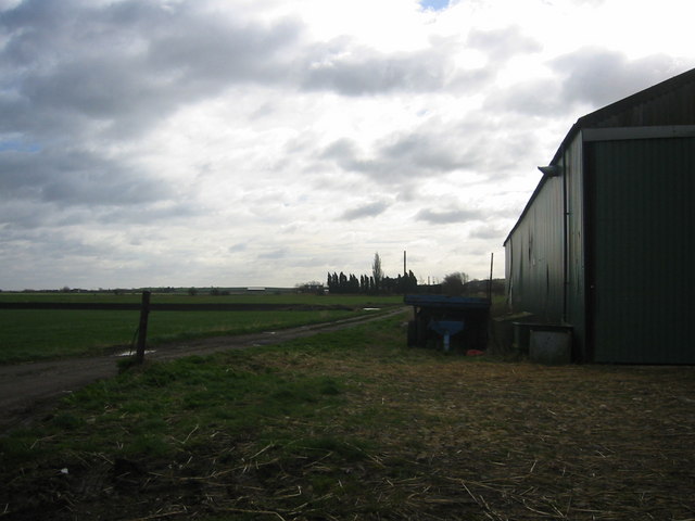
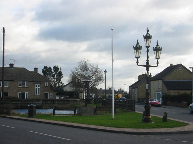
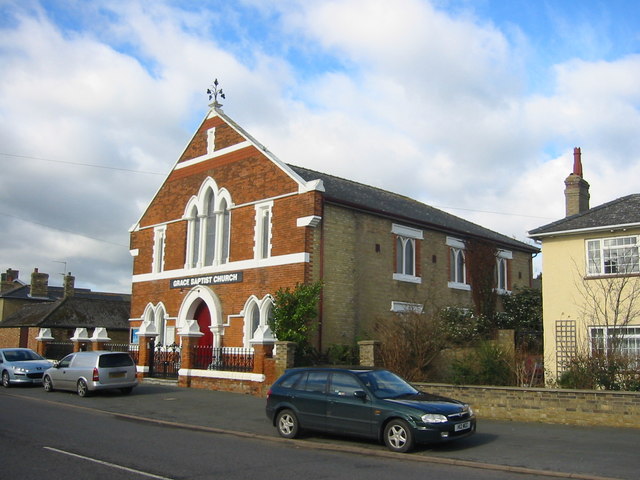
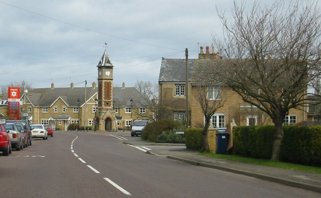
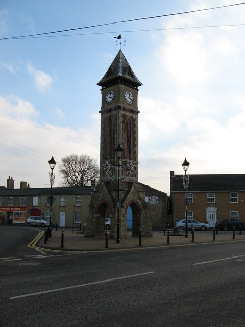
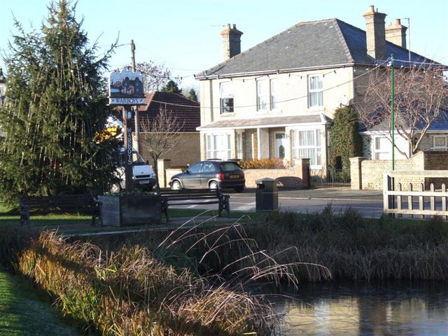
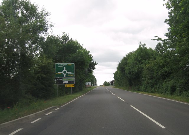
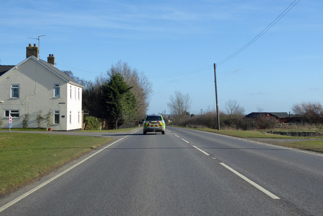
Little End Images
Images are sourced within 2km of 52.410815/-0.0756286 or Grid Reference TL3080. Thanks to Geograph Open Source API. All images are credited.


Little End is located at Grid Ref: TL3080 (Lat: 52.410815, Lng: -0.0756286)
Administrative County: Cambridgeshire
District: Huntingdonshire
Police Authority: Cambridgeshire
What 3 Words
///strain.lightens.suckle. Near Warboys, Cambridgeshire
Nearby Locations
Related Wikis
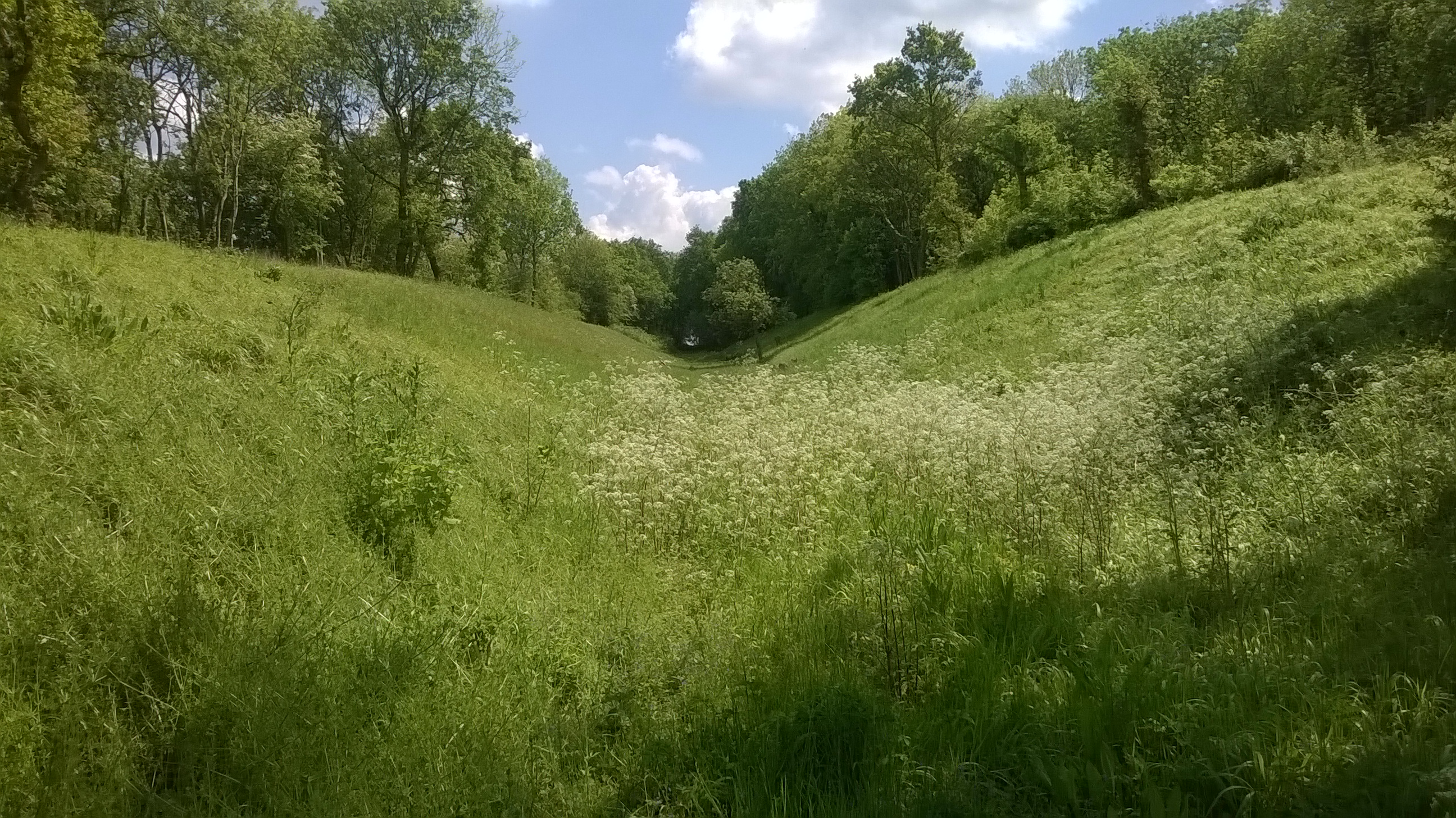
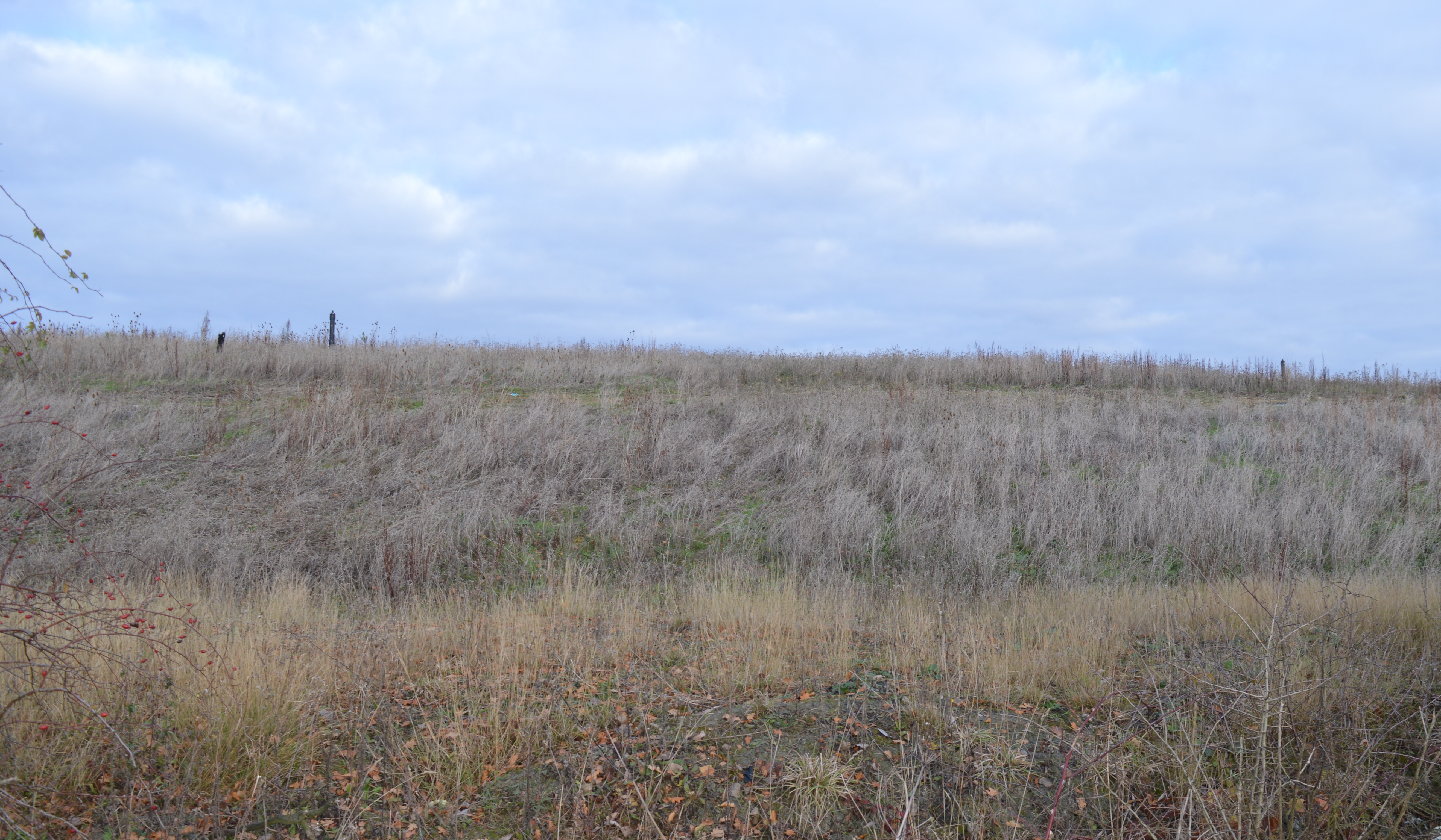
Pingle Cutting
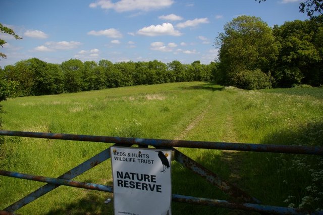
Pingle Cutting is a 1.0-hectare (2.5-acre) nature reserve north of Warboys in Cambridgeshire. It is managed by the Wildlife Trust for Bedfordshire, Cambridgeshire...

Warboys railway station
Warboys railway station was a railway station in Warboys, Cambridgeshire, which opened in 1889 and closed completely in 1964. == References == == External... ==
Warboys Clay Pit
Warboys Clay Pit is a 12.6-hectare (31-acre) geological Site of Special Scientific Interest west of Warboys in Cambridgeshire. It is a Geological Conservation...
Warboys Town F.C.
Warboys Town Football Club is a football club based in Warboys, near Ramsey in Cambridgeshire, England. The club are currently members of the Peterborough...
Nearby Amenities
Located within 500m of 52.410815,-0.0756286Have you been to Little End?
Leave your review of Little End below (or comments, questions and feedback).