Ramsey Heights

Settlement in Huntingdonshire Huntingdonshire

England

Ramsey Heights

Farm shed on Ugg Mere Court Road, Ramsey Heights
Farm shed on Ugg Mere Court Road, Ramsey Heights Credit: David Howard

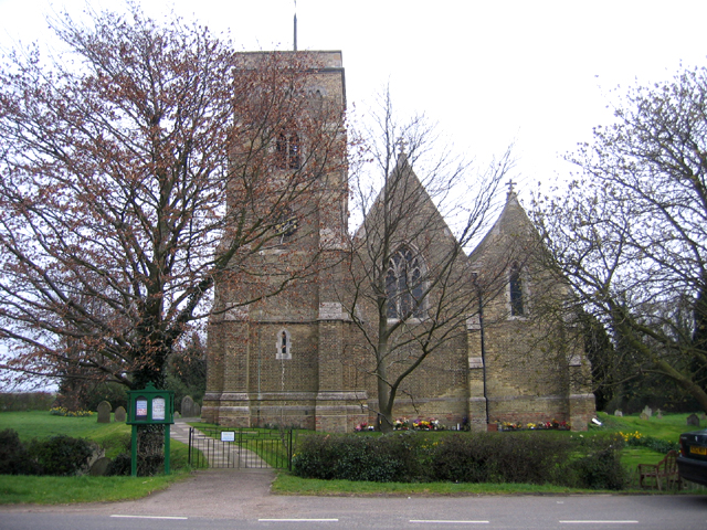
Ramsey Heights is a small village located in the district of Huntingdonshire, Cambridgeshire, England. Situated approximately 7 miles east of Huntingdon, the village is surrounded by scenic countryside and offers a tranquil and picturesque setting.

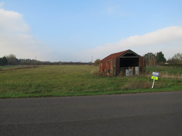
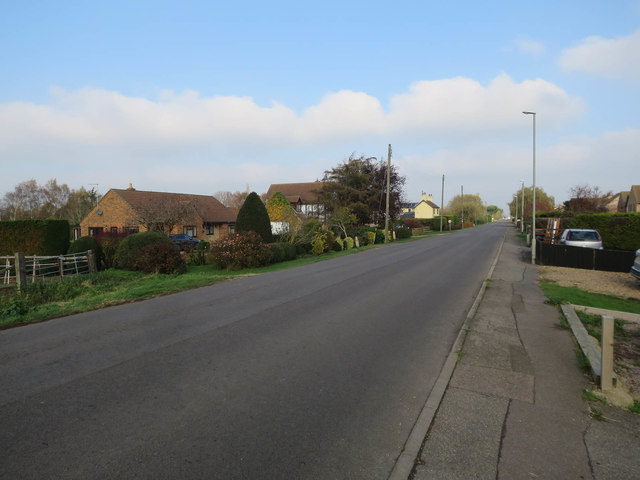
The village is known for its charming rural character and is primarily residential, with a small population of around 350 residents. The architecture of the village is mainly traditional, with a mix of period houses and modern developments. The village is well-maintained, with neat gardens and well-kept streets, adding to its aesthetic appeal.

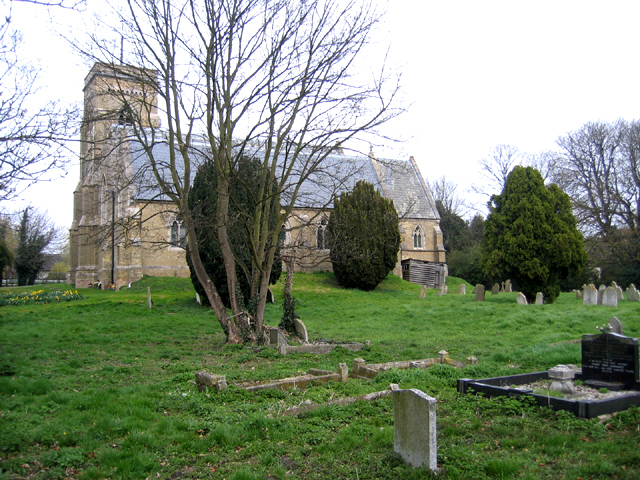
Despite its small size, Ramsey Heights offers a range of amenities and services for its residents. These include a village hall, a local pub, and a primary school, catering to the needs of families with young children. The village is also home to a few small businesses, contributing to the local economy.

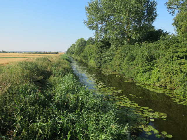
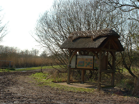
Ramsey Heights is surrounded by stunning natural landscapes, making it an ideal choice for outdoor enthusiasts. The village is close to the Ramsey Heights Nature Reserve, which offers beautiful walking trails and opportunities for bird watching. The nearby Fens and Great Fen Project provide further opportunities for nature exploration and wildlife spotting.

Transport links in Ramsey Heights are convenient, with regular bus services connecting the village to nearby towns and villages. The A141 road passes close to the village, providing easy access to Huntingdon and other major towns in the region.

Overall, Ramsey Heights provides a peaceful and idyllic setting for residents, offering a close-knit community and access to beautiful countryside.

If you have any feedback on the listing, please let us know in the comments section below.

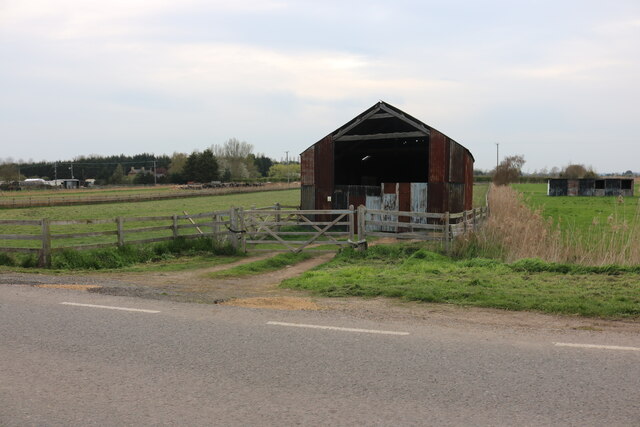
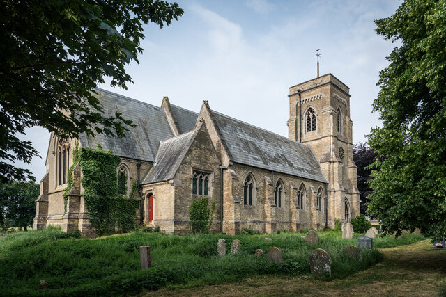
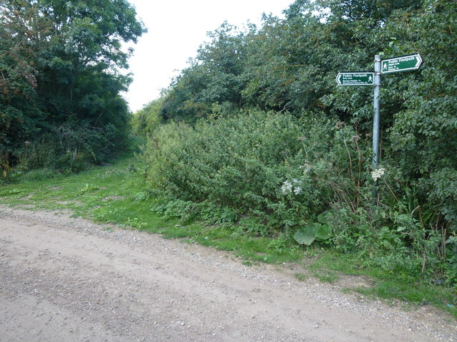
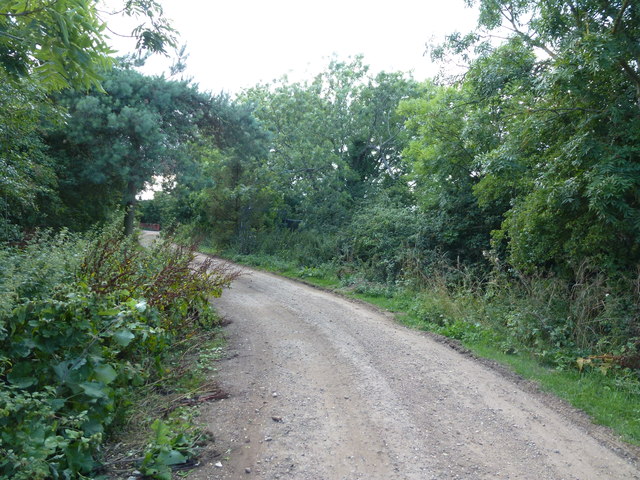
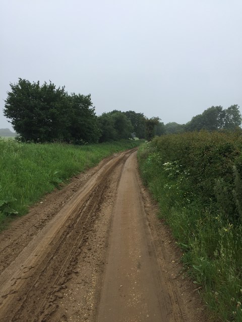
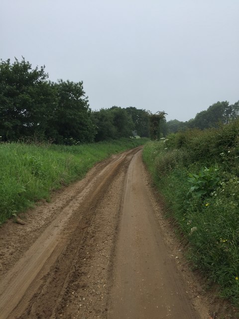
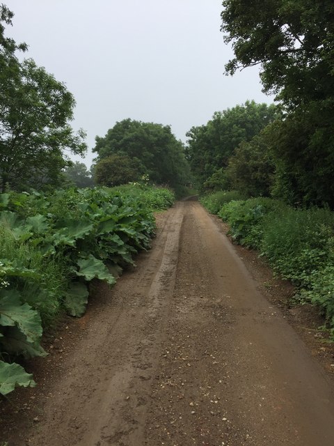
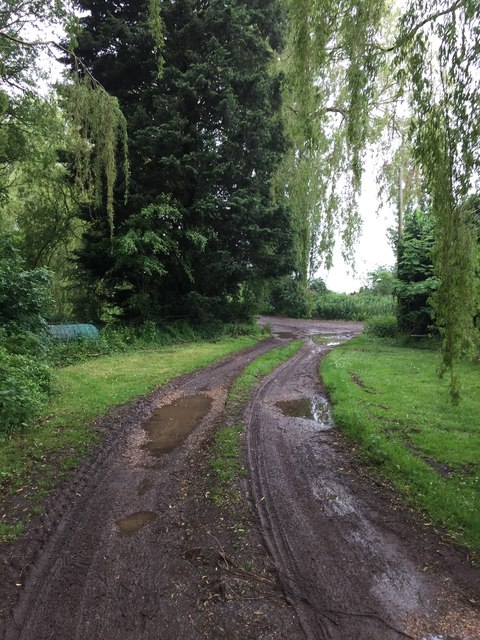
Ramsey Heights Images

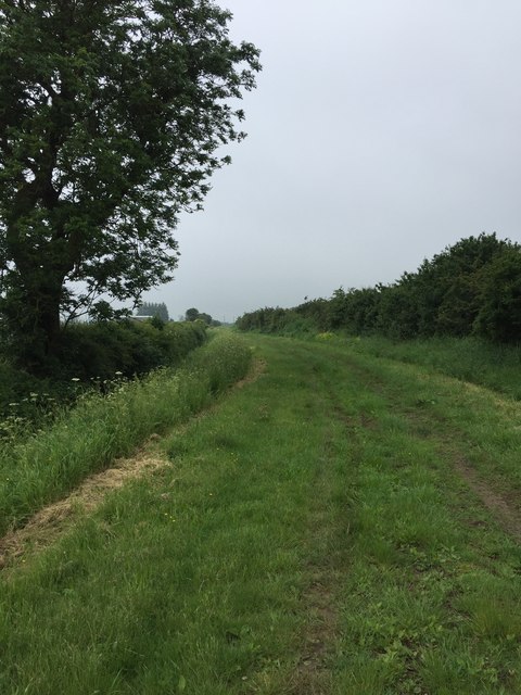
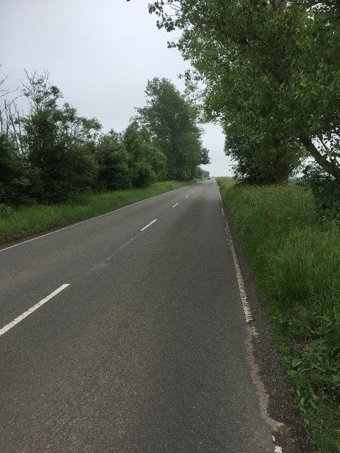
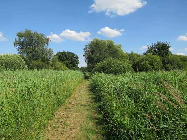
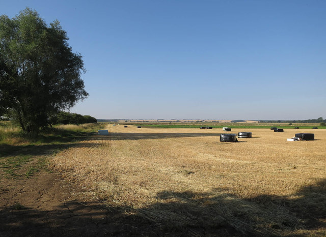
Images are sourced within 2km of 52.452665/-0.15780931 or Grid Reference TL2585. Thanks to Geograph Open Source API. All images are credited.

Farm shed on Ugg Mere Court Road, Ramsey Heights
St. Mary's Church, Ramsey St Mary's <span class="nowrap"><a title="https://en.wikipedia.org/wiki/Ramsey_St_Mary%27s" rel="nofollow ugc noopener" href="https://en.wikipedia.org/wiki/Ramsey_St_Mary%27s">Link</a><img style="margin-left:2px;" alt="External link" title="External link - shift click to open in new window" src="https://s1.geograph.org.uk/img/external.png" width="10" height="10"/></span>
St. Mary's Church, Ramsey St Mary's
Bury Lane meets Biggin Lane near Ramsey
Bury Lane near Ramsey A public footpath runs along this lane
Bury Lane near Ramsey
A public footpath runs along this lane
Biggin Lane
Biggin Lane
Biggin Lane
Biggin Lane
Biggin Lane
Biggin Lane
Bury Lane
Bury Lane
Bury Lane
Bury Lane
Longholme Road
Longholme Road
Path in Woodwalton Fen
Harvested field off Heights Drove Road
Great Raveley Drain The eastern edge of Woodwalton Fen.
Great Raveley Drain
The eastern edge of Woodwalton Fen.
Old barn sold, Ramsey Heights I'm guessing this wasn't bought for its current condition.
Old barn sold, Ramsey Heights
I'm guessing this wasn't bought for its current condition.
Ugg Mere Court Road, Ramsey Heights
Ramsey St Mary's parish church, Ramsey, Cambs The church, built on piles driven through the soft ground, now stands raised above the churchyard which has sunk following wastage of the peat soils.
Ramsey St Mary's parish church, Ramsey, Cambs
The church, built on piles driven through the soft ground, now stands raised above the churchyard which has sunk following wastage of the peat soils.
Ramsey St Mary's parish church, Ramsey, Cambs Opened in 1859 and built of local buff-coloured brick; it once carried a wooden and slated broach-spire complete with a weathercock that was removed about 1920.
More info on wikipedia <span class="nowrap"><a title="http://en.wikipedia.org/wiki/Ramsey_St_Mary's" rel="nofollow ugc noopener" href="http://en.wikipedia.org/wiki/Ramsey_St_Mary's">Link</a><img style="margin-left:2px;" alt="External link" title="External link - shift click to open in new window" src="https://s1.geograph.org.uk/img/external.png" width="10" height="10"/></span>
Ramsey St Mary's parish church, Ramsey, Cambs
Opened in 1859 and built of local buff-coloured brick; it once carried a wooden and slated broach-spire complete with a weathercock that was removed about 1920. More info on wikipedia LinkExternal link
Woodwalton Fen NNR information point Woodwalton Fen NNR, nr Ramsey Heights, is fascinating place where Marsh Harrier, Hobby, Kingfisher & a host of other birds can be seen, along with a wide variety of plants & wildflowers. A true nature-lovers paradise!
Woodwalton Fen NNR information point
Woodwalton Fen NNR, nr Ramsey Heights, is fascinating place where Marsh Harrier, Hobby, Kingfisher & a host of other birds can be seen, along with a wide variety of plants & wildflowers. A true nature-lovers paradise!
Show me another place!

Ramsey Heights is located at Grid Ref: TL2585 (Lat: 52.452665, Lng: -0.15780931)

Administrative County: Cambridgeshire

District: Huntingdonshire

Police Authority: Cambridgeshire

What 3 Words

///divider.saucepan.roost. Near Ramsey, Cambridgeshire

Nearby Locations

Ramsey Heights

Related Wikis

Ramsey Heights

Ramsey Heights is a village in Ramsey civil parish, part of the Huntingdonshire district of Cambridgeshire, England. The Ramsey Heights nature reserve...

Ramsey Heights nature reserve

Ramsey Heights Nature Reserve is a small nature reserve near the village of Ramsey Heights in Cambridgeshire, England. The reserve is 5 ha (12 acres) in...

St Mary's railway station (England)

St. Mary's railway station was the intermediate railway station in Ramsey St Mary's, Cambridgeshire on the Great Northern railway line running from Holme...

RAF Upwood

Royal Air Force Upwood or more simply RAF Upwood is a former Royal Air Force station adjacent to the village of Upwood, Cambridgeshire, England, in the...

Nearby Amenities

Located within 500m of 52.452665,-0.15780931
Bus Stop
Middle Drove
Bus: yes
Naptan AtcoCode: 0500HRAMS023
Naptan Bearing: N
Naptan BusStopType: CUS
Naptan CommonName: Middle Drove
Naptan Indicator: near
Naptan Landmark: Middle Drove
Naptan NaptanCode: cmbdptjp
Naptan ShortCommonName: Middle Drove
Naptan Street: Ugg Mere Court Road
Naptan Verified: no
Public Transport: platform
Source: naptan_import
Lat/Long: 52.4527525/-0.157827
Bus Stop
Middle Drove
Bus: yes
Naptan AtcoCode: 0500HRAMS027
Naptan Bearing: S
Naptan BusStopType: CUS
Naptan CommonName: Middle Drove
Naptan Indicator: opp
Naptan Landmark: Middle Drove
Naptan NaptanCode: cmbdptjt
Naptan ShortCommonName: Middle Drove
Naptan Street: Ugg Mere Court Road
Naptan Verified: no
Public Transport: platform
Source: naptan_import
Lat/Long: 52.4527417/-0.1577097
Post Box
Ref: PE26 39
Lat/Long: 52.4528594/-0.1575398
Power: pole
Lat/Long: 52.4545638/-0.1587453
Power: pole
Lat/Long: 52.4558624/-0.1584571
Power: pole
Lat/Long: 52.4552167/-0.1585966
Power: pole
Lat/Long: 52.4539611/-0.1588707
Power: pole
Lat/Long: 52.456575/-0.1583203
Power: pole
Lat/Long: 52.4533852/-0.159
Power: transformer
Lat/Long: 52.4527813/-0.1591677
The data included in this document is from www.openstreetmap.org. The data is made available under ODbL.

Have you been to Ramsey Heights?

Leave your review of Ramsey Heights below (or comments, questions and feedback).