Ramsey Hollow
Settlement in Huntingdonshire Huntingdonshire
England
Ramsey Hollow
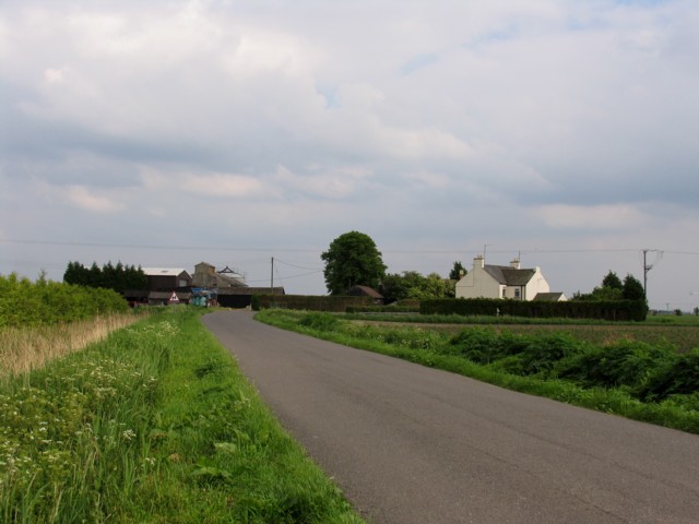
Ramsey Hollow is a quaint village located in the district of Huntingdonshire, Cambridgeshire, England. Situated about 14 miles north-east of Huntingdon, it lies on the edge of the picturesque Fenland region. The village is nestled amidst beautiful countryside, characterized by rolling green hills, meandering rivers, and charming woodlands.
With a population of approximately 1,500 residents, Ramsey Hollow exudes a tight-knit community atmosphere. The village is known for its peaceful and idyllic setting, making it a popular destination for those seeking a tranquil retreat from the bustling city life.
Ramsey Hollow boasts a rich history that dates back centuries. The village is home to several historic buildings, including St. Thomas à Becket Church, a magnificent medieval structure that has stood for over 800 years. The church is a prominent landmark and a testament to the village's heritage.
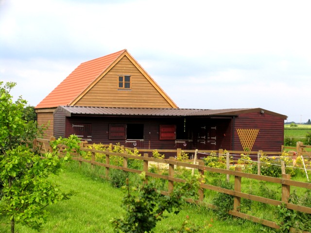
In terms of amenities, Ramsey Hollow offers a range of facilities to cater to its residents' needs. These include a primary school, a post office, a village hall, and a selection of local shops and businesses. Additionally, the village has a strong sense of community spirit, with various social and recreational activities taking place throughout the year.
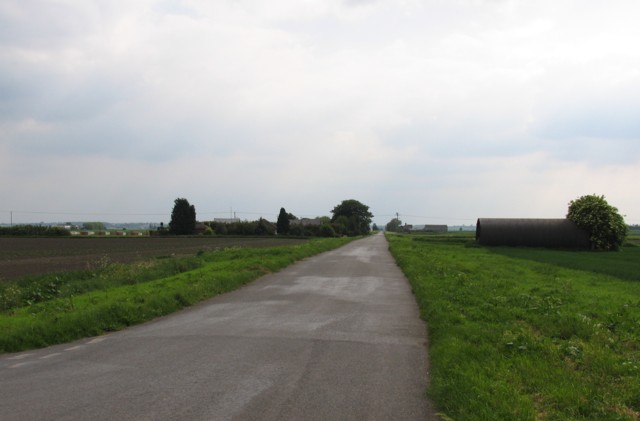
Nature enthusiasts are particularly drawn to Ramsey Hollow due to its proximity to the Fenland Nature Reserve, a haven for wildlife and birdwatching. The surrounding countryside also provides ample opportunities for outdoor pursuits such as hiking, cycling, and fishing.
Overall, Ramsey Hollow is a charming village that combines natural beauty with a rich history and a close-knit community. It offers a peaceful and picturesque setting for residents and visitors alike.
If you have any feedback on the listing, please let us know in the comments section below.
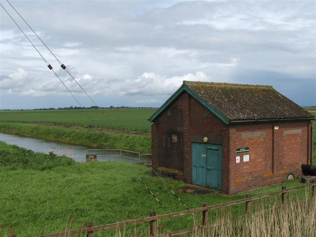
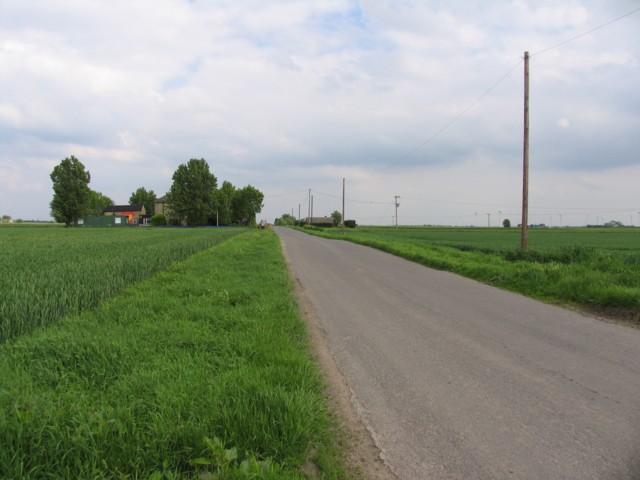
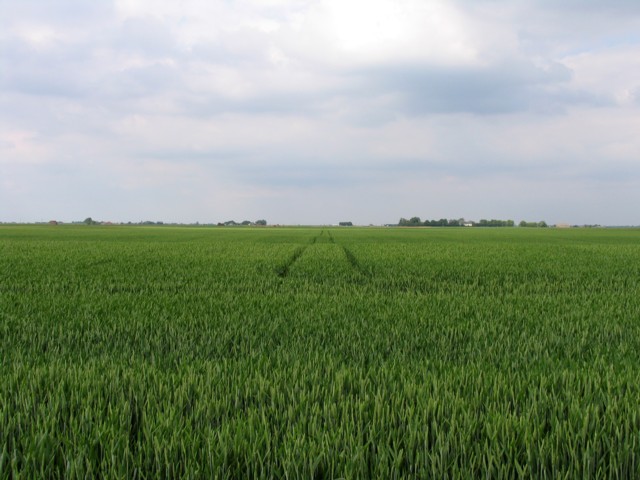
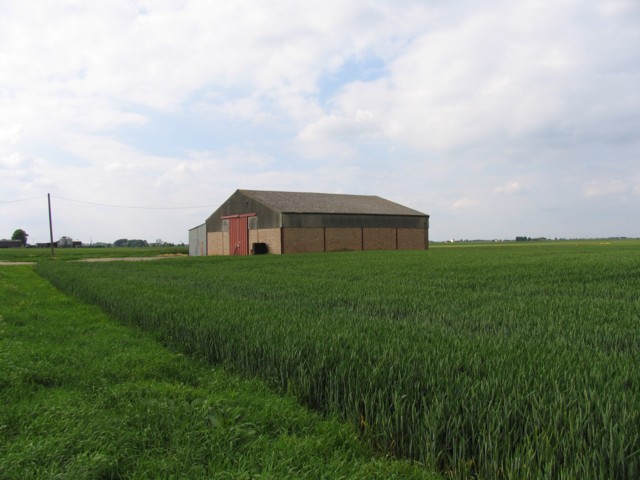
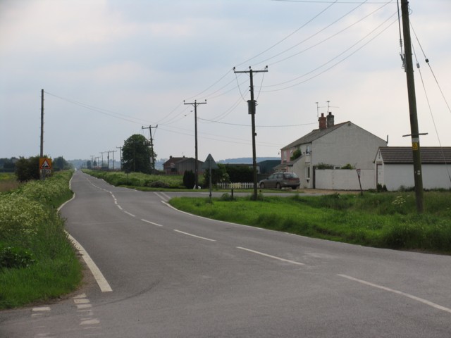
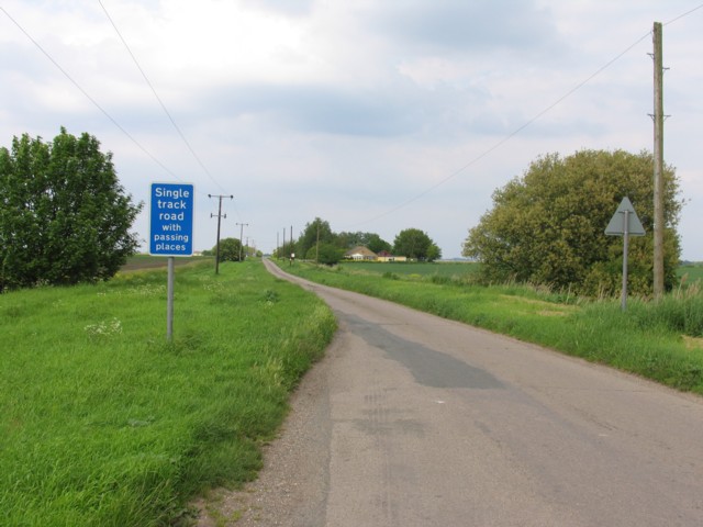
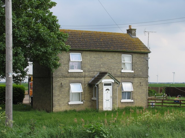
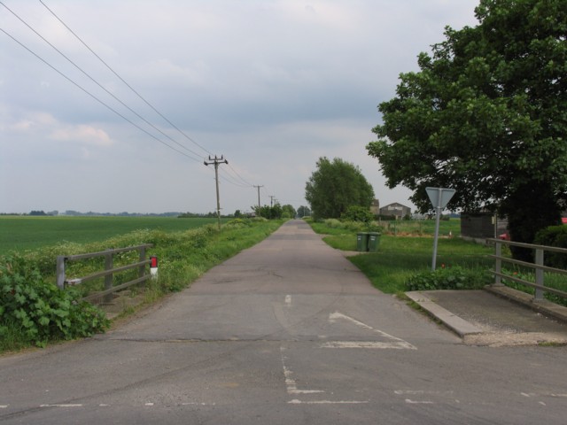
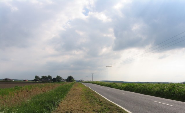
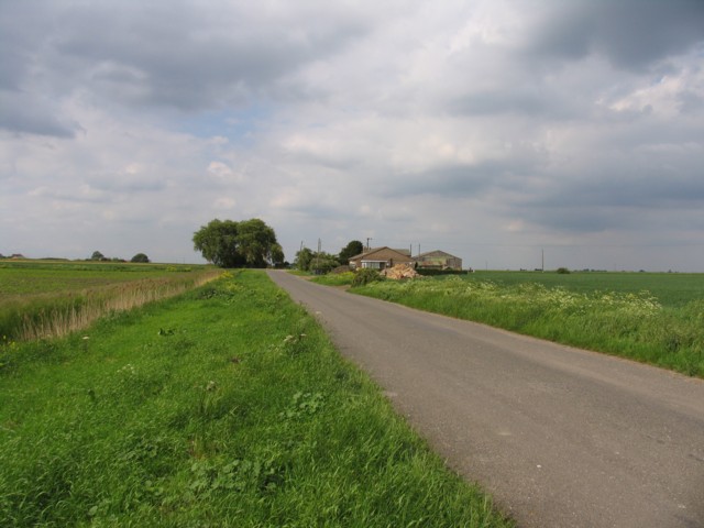
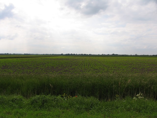
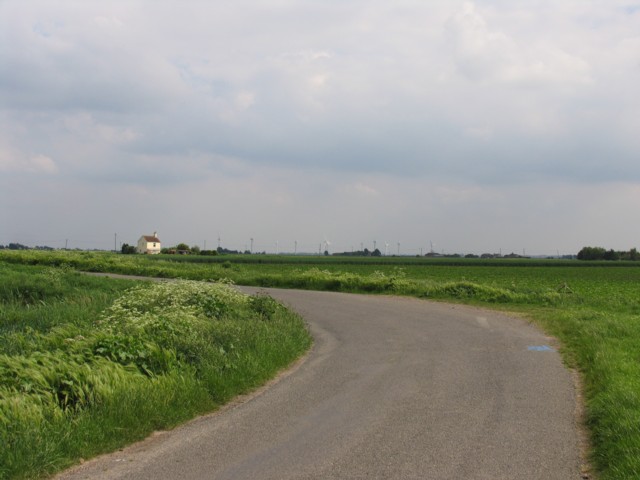
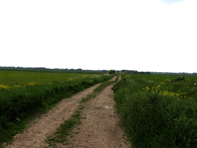
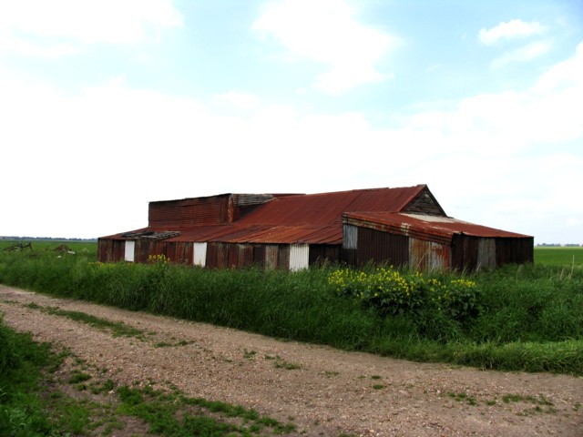
Ramsey Hollow Images
Images are sourced within 2km of 52.457935/-0.055676351 or Grid Reference TL3286. Thanks to Geograph Open Source API. All images are credited.
Ramsey Hollow is located at Grid Ref: TL3286 (Lat: 52.457935, Lng: -0.055676351)
Administrative County: Cambridgeshire
District: Huntingdonshire
Police Authority: Cambridgeshire
What 3 Words
///pixel.imported.blazers. Near Ramsey, Cambridgeshire
Nearby Locations
Related Wikis

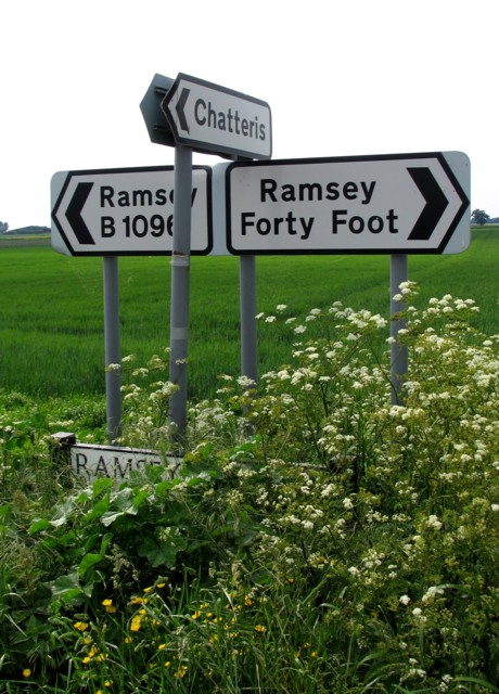
Ramsey Forty Foot
Ramsey Forty Foot is a village in Ramsey civil parish, part of the Huntingdonshire district of Cambridgeshire, England. It lies on the Forty Foot Drain...

Abbey College, Ramsey
Abbey College is a secondary school located in Ramsey, Cambridgeshire, England. The school is around 10 miles from Huntingdon and Peterborough and offers...

Ramsey Abbey
Ramsey Abbey was a Benedictine abbey in Ramsey, Huntingdonshire (now part of Cambridgeshire), England. It was founded about AD 969 and dissolved in 1539...

Church of St Thomas à Becket, Ramsey
The Church of St Thomas à Becket, Ramsey is the Church of England parish church of Ramsey, Cambridgeshire (formerly Huntingdonshire). The parish is part...
Nearby Amenities
Located within 500m of 52.457935,-0.055676351Have you been to Ramsey Hollow?
Leave your review of Ramsey Hollow below (or comments, questions and feedback).