Ramsgreave

Settlement in Lancashire Ribble Valley

England

Ramsgreave

Parsonage Reservoir
Parsonage Reservoir Credit: thejackrustles

Ramsgreave is a small village located in the county of Lancashire, England. Situated approximately two miles north of Blackburn, it falls within the administrative boundaries of the borough of Ribble Valley. Ramsgreave is predominantly a residential area with a population of around 1,500 residents.

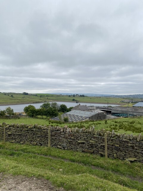
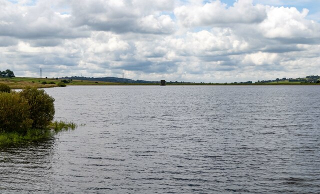
The village is known for its picturesque surroundings and lush green landscapes, making it an attractive place to live for those seeking a peaceful and rural setting. Ramsgreave is surrounded by rolling hills and farmland, offering residents ample opportunities for outdoor activities and exploration.

Despite its small size, Ramsgreave benefits from good transport links, with the A677 road passing through the village. This allows for easy access to neighboring towns and cities, including Blackburn, Preston, and Manchester. Additionally, the village is well-served by public transport, with regular bus services connecting it to the wider region.

In terms of amenities, Ramsgreave has a primary school, providing education for local children. There are also a few local shops and small businesses, catering to the everyday needs of residents. For more extensive shopping and leisure facilities, Blackburn town center is just a short drive away.

Overall, Ramsgreave offers a charming and tranquil environment, making it an appealing place to reside for those seeking a close-knit community with access to both rural and urban amenities.

If you have any feedback on the listing, please let us know in the comments section below.

Ramsgreave Images

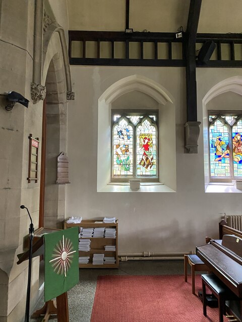
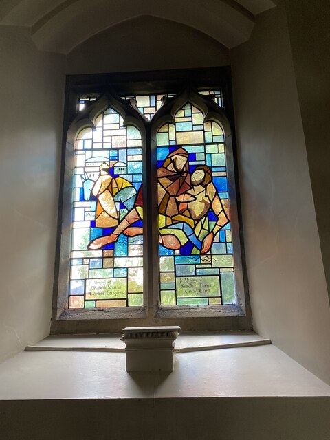
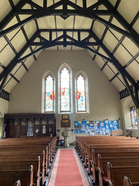
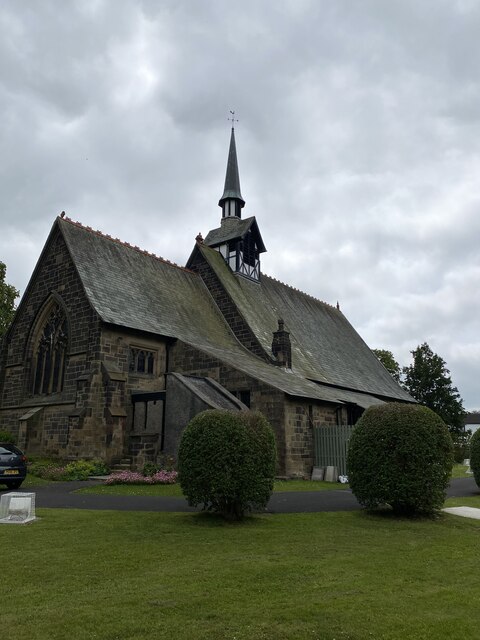
Images are sourced within 2km of 53.778874/-2.4831176 or Grid Reference SD6831. Thanks to Geograph Open Source API. All images are credited.

Parsonage Reservoir
Parsonage Reservoir
Parsonage Reservoir
Parsonage Reservoir
St Peters Stained Glass Window
St Peters Alter
St Peters Alter
St Peters Stained Glass Window
St Peters Modern Stained Glass Window
St Peters Font
St Peters Font
St Peters, Salesbury
OS Cut Mark - Salesbury, Saint Peters Church <span class="nowrap"><a title="https://www.bench-marks.org.uk/bm95593" rel="nofollow ugc noopener" href="https://www.bench-marks.org.uk/bm95593">Link</a><img style="margin-left:2px;" alt="External link" title="External link - shift click to open in new window" src="https://s1.geograph.org.uk/img/external.png" width="10" height="10"/></span>
OS Cut Mark - Salesbury, Saint Peters Church
Location of OS Cut Mark - Salesbury, Saint Peters Church
Electric fence - cross here
Ramsgreave and Wilpshire station I took this photo to show my mother because she always said that the family's first cat was a stray that my father found on Wilpshire station when working there in the 1950s. But it turns out that the original Wilpshire station <a href="https://www.geograph.org.uk/photo/4090131">SD6831 : Wilpshire railway station (site), Lancashire</a> was about 400 metres north of here and closed in 1962; this replacement opened in 1994.
Ramsgreave and Wilpshire station
I took this photo to show my mother because she always said that the family's first cat was a stray that my father found on Wilpshire station when working there in the 1950s. But it turns out that the original Wilpshire station SD6831 : Wilpshire railway station (site), Lancashire was about 400 metres north of here and closed in 1962; this replacement opened in 1994.
St Gabriel's Church at Brownhill
Parsonage Road, Blackburn
Junction Hollowhead Lane and Parsonage Road The junction of Hollowhead Lane and Parsonage Road opposite Parsonage Reservoir.
Junction Hollowhead Lane and Parsonage Road
The junction of Hollowhead Lane and Parsonage Road opposite Parsonage Reservoir.
Brookview Close off Parsonage Road The junction of Brookview Close with Parsonage Road.
Brookview Close off Parsonage Road
The junction of Brookview Close with Parsonage Road.
Junction York Crescent with Parsonage Road The first junction of York Crescent with Parsonage Road when approaching from Parsonage Reservoir going towards Whalley Road Brownhill.
Junction York Crescent with Parsonage Road
The first junction of York Crescent with Parsonage Road when approaching from Parsonage Reservoir going towards Whalley Road Brownhill.
Footpath Lyndale Avenue The path from Lyndale Avenue leading up to Whalley Road.
Footpath Lyndale Avenue
The path from Lyndale Avenue leading up to Whalley Road.
Show me another place!

Ramsgreave is located at Grid Ref: SD6831 (Lat: 53.778874, Lng: -2.4831176)

Administrative County: Lancashire

District: Ribble Valley

Police Authority: Lancashire

What 3 Words

///next.years.trend. Near Langho, Lancashire

Nearby Locations

Ramsgreave

Related Wikis

Wilpshire

Wilpshire is a village and civil parish in the county of Lancashire, England. It is 2.5 miles (4.0 km) north of Blackburn, and forms part of the town...

Ramsgreave and Wilpshire railway station

Ramsgreave and Wilpshire is a railway station on the Ribble Valley Line that serves the villages/suburbs of Ramsgreave and Wilpshire, just north of Blackburn...
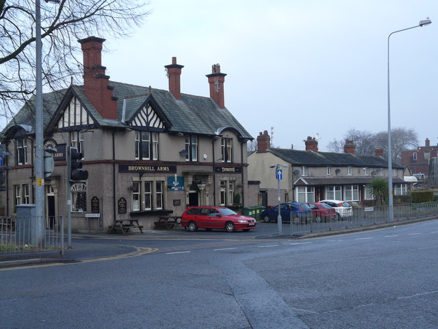
Brownhill

Brownhill is a suburb of Blackburn, in the unitary borough of Blackburn with Darwen, in Lancashire, England. It is situated to the north-east of the town...

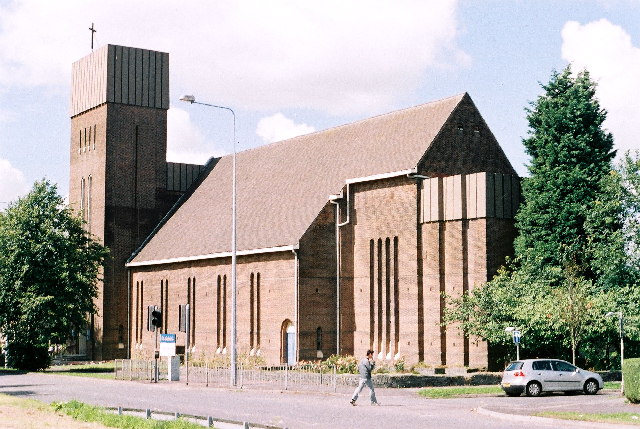
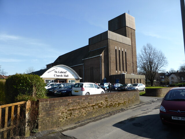
St Gabriel's Church, Blackburn

St Gabriel's is an active English Anglican church in Blackburn, Lancashire. Designed by F. X. Velarde, St Gabriel's is regarded as a milestone in the development...

Nearby Amenities

Located within 500m of 53.778874,-2.4831176
Brownhill
Place: suburb
Source: npe
Wikidata: Q4976515
Lat/Long: 53.7754417/-2.4784062
Ramsgreave
Place: hamlet
Source: seventh series (1953)
Lat/Long: 53.7782212/-2.4897744
Traffic Signals
Lat/Long: 53.7794624/-2.4774356
Co-Op at the Bull's Head
Operator: Co-Operative
Shop: supermarket
Lat/Long: 53.7796811/-2.4775934
Pub
Rising Sun
Addr City: Blackburn
Addr Housenumber: 797
Addr Postcode: BB1 9BE
Addr Street: Whalley New Road
Fhrs Id: 211170
Source Addr: FHRS Open Data
Lat/Long: 53.7793899/-2.4776552
Fuel
Operator: BP
Lat/Long: 53.7767759/-2.4777942
Turning Circle
Lat/Long: 53.7783786/-2.4818727
Post Box
Lat/Long: 53.7787704/-2.4865202
Bus Stop
Public Transport: platform
Lat/Long: 53.7785884/-2.4772987
Power: tower
Source: Bing
Lat/Long: 53.7822841/-2.4806897
Power: tower
Source: Bing
Lat/Long: 53.7814442/-2.4785413
Atm
Lat/Long: 53.7749827/-2.479973
Ramsgreave and Wilpshire
Naptan AtcoCode: 9100RMSWILP
Network: National Rail
Network Website: https://www.nationalrail.co.uk/stations/rgw/
Network Wikidata: Q26334
Operator: Northern Rail
Operator Website: https://www.northernrailway.co.uk/stations/ramsgreave-wilpshire
Operator Wikidata: Q85789775
Platforms: 2
Public Transport: station
Railway: station
Ref Crs: RGW
Train: yes
Wikidata: Q3983378
Wikipedia: en:Ramsgreave and Wilpshire railway station
Lat/Long: 53.7799943/-2.4780606
Marks & Spencer
Brand: Marks & Spencer
Brand Wikidata: Q714491
Contact Website: https://www.marksandspencer.com/stores/park-kay-bp-1447
Shop: convenience
Lat/Long: 53.7766154/-2.4778765
Co-op Food
Addr City: Blackburn
Addr Housenumber: 609-613
Addr Postcode: BB1 9BA
Addr Street: Whalley New Road
Brand: Co-op Food
Brand Wikidata: Q3277439
Brand Wikipedia: en:Co-op Food
Fhrs Id: 212028
Operator: The Co-operative Group
Shop: supermarket
Source Addr: FHRS Open Data
Lat/Long: 53.7750494/-2.4800626
Bus Stop
Naptan AtcoCode: 2580BRH0003
Naptan NaptanCode: bladtdm
Public Transport: platform
Lat/Long: 53.7750309/-2.4798925
Railway: level_crossing
Lat/Long: 53.7808779/-2.4775012
Railway: level_crossing
Lat/Long: 53.780921/-2.4775349
Moorfield Mews
Lat/Long: 53.7767773/-2.4808766
Post Box
Lat/Long: 53.7789993/-2.4776685
Generator Method: photovoltaic
Generator Output Electricity: yes
Generator Source: solar
Generator Type: solar_photovoltaic_panel
Location: roof
Power: generator
Lat/Long: 53.779537/-2.4759146
The data included in this document is from www.openstreetmap.org. The data is made available under ODbL.

Have you been to Ramsgreave?

Leave your review of Ramsgreave below (or comments, questions and feedback).