Peplow
Settlement in Shropshire
England
Peplow
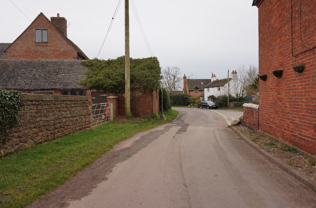
Peplow is a small village located in the county of Shropshire, England. Situated approximately 7 miles north-east of the town of Market Drayton, Peplow is nestled in the picturesque countryside of the North Shropshire Plain. The village is part of the civil parish of Hodnet.
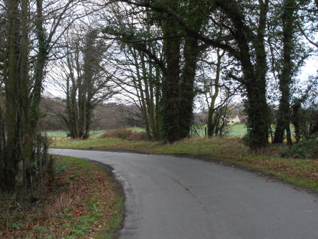
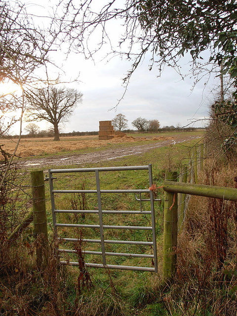
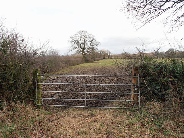
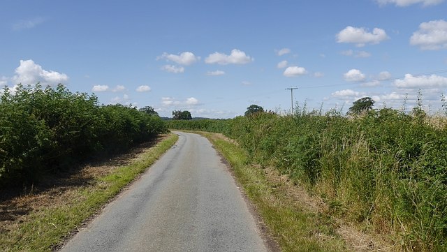
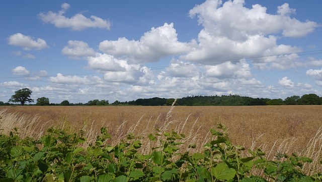
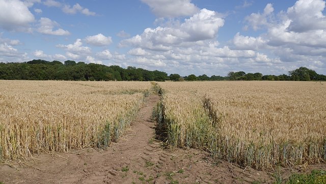
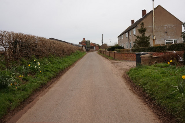
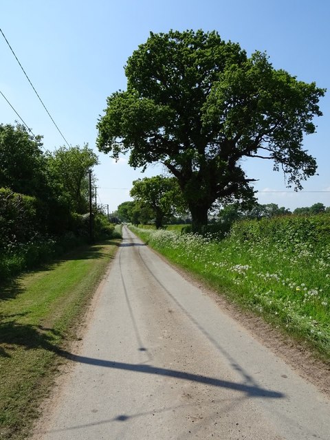
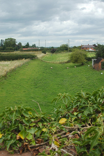
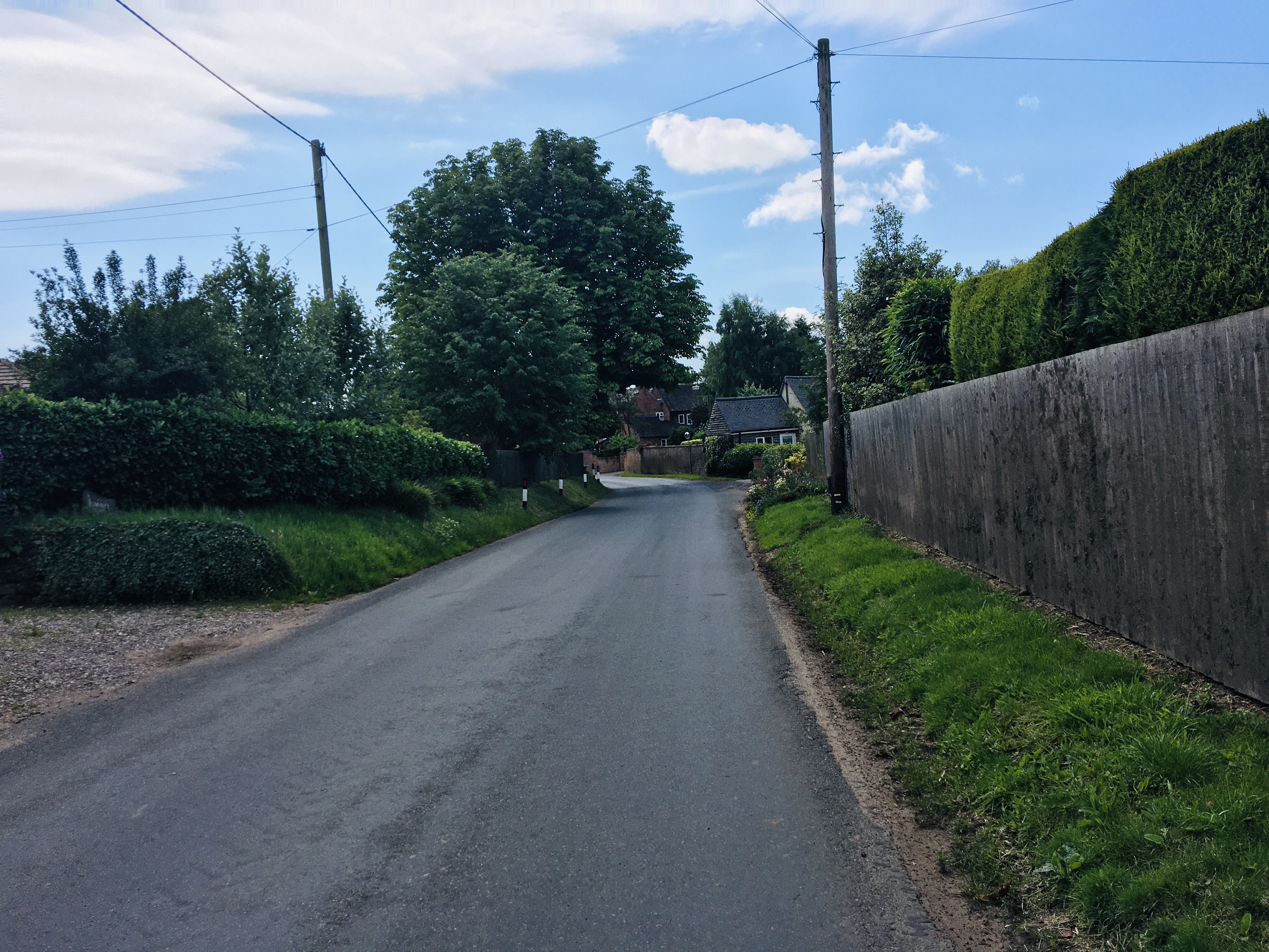
With a population of around 150 residents, Peplow retains a quintessential rural charm. Its landscape is characterized by rolling hills, lush green fields, and meandering country lanes. The village is surrounded by farmland, providing a tranquil and idyllic setting for its inhabitants.
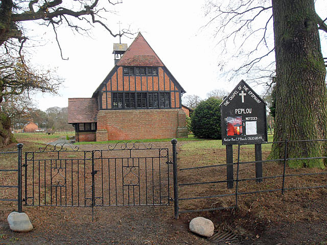
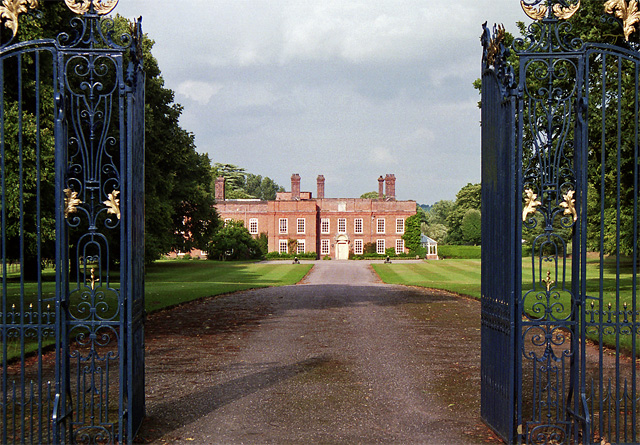
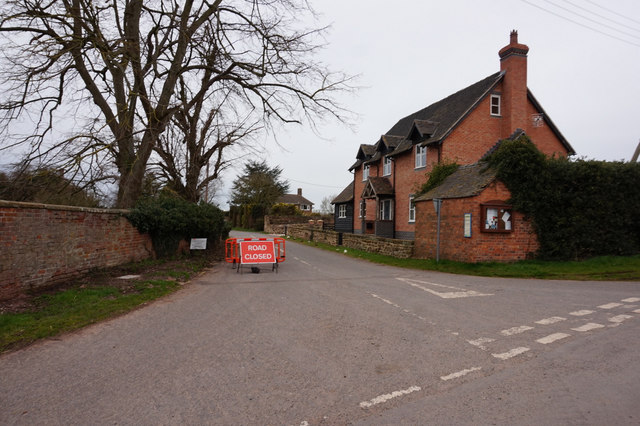
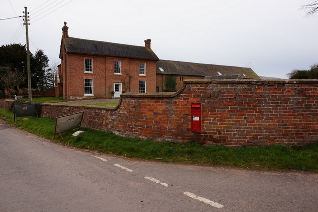
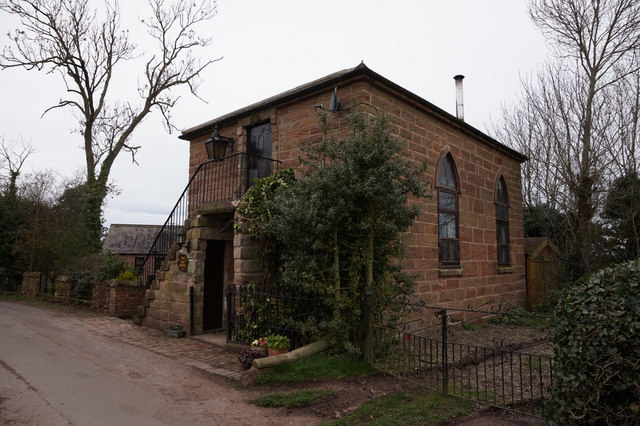
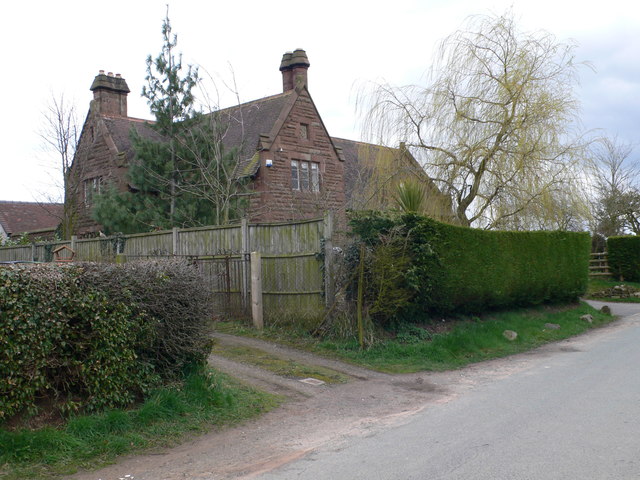
Peplow is known for its historic buildings, including the Grade II listed Peplow Hall, an elegant Georgian mansion that dates back to the 18th century. The hall is set within beautiful landscaped gardens, which are occasionally open to the public, offering visitors a glimpse into the area's rich heritage.
Despite its small size, Peplow has a strong sense of community and boasts several local amenities. These include a village hall, which serves as a hub for various social events and gatherings, and a well-maintained children's playground. The village is also home to a charming pub, offering locals and visitors a place to relax and enjoy a meal or a drink.
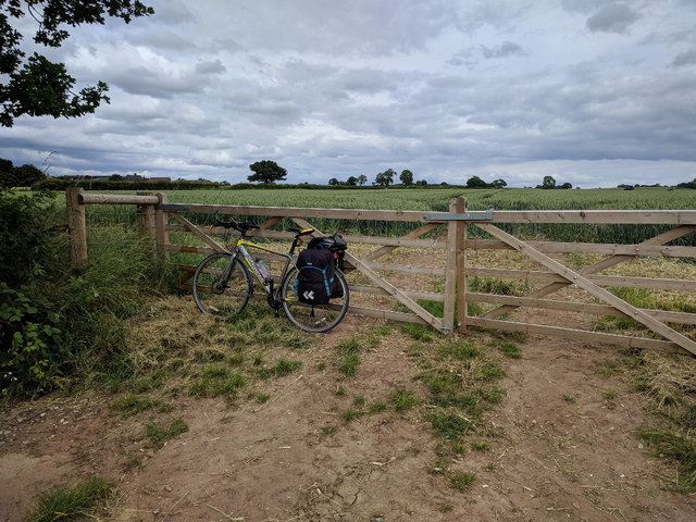
The surrounding countryside provides ample opportunities for outdoor activities, such as hiking, cycling, and horse riding. Peplow is also conveniently located near the A53 road, providing easy access to nearby towns and cities, including Market Drayton and Shrewsbury.
Overall, Peplow offers a peaceful and picturesque retreat for those seeking a rural lifestyle, while still being within reach of larger towns and amenities.
If you have any feedback on the listing, please let us know in the comments section below.
Peplow Images
Images are sourced within 2km of 52.821329/-2.5480609 or Grid Reference SJ6325. Thanks to Geograph Open Source API. All images are credited.

Peplow is located at Grid Ref: SJ6325 (Lat: 52.821329, Lng: -2.5480609)
Unitary Authority: Shropshire
Police Authority: West Merica
What 3 Words
///dishing.nuzzling.wiggly. Near Stoke upon Tern, Shropshire
Nearby Locations
Related Wikis

Peplow
Peplow is a hamlet in Shropshire, England. It is part of the civil parish of Hodnet, a larger village to the north. The hamlets of Bowling Green and Radmoor...

Peplow Hall
Peplow Hall is a privately owned 11,635 square feet (1,080.9 m2), 18th-century country house at Peplow, near Hodnet, Shropshire. It is the seat of The...

Peplow railway station
Peplow railway station was a station in Peplow, Shropshire, England. The station was opened in 1867 and closed in 1963. The track has been infilled to...
Wellington and Drayton Railway
The Wellington and Drayton Railway was a standard gauge line in Central England which carried through freight and local passenger traffic until closure...

Ollerton, Shropshire
Ollerton is a small village, located in the parish of Stoke upon Tern in Shropshire, England. Ollerton is located in a rural area approximately midway...

Stoke on Tern
Stoke on Tern is a village located in Shropshire, England, on the River Tern. The civil parish is known as Stoke upon Tern. == Locality == The village...
Eaton upon Tern
Eaton upon Tern is a small village, located in the parish of Stoke upon Tern in Northern Shropshire, England. The parish also includes the settlements...

RNAS Hinstock (HMS Godwit)
Royal Naval Air Station Hinstock (RNAS Hinstock, also known as HMS Godwit) is a former Royal Navy, Fleet Air Arm station, located 4 miles (6 km) South...
Nearby Amenities
Located within 500m of 52.821329,-2.5480609Have you been to Peplow?
Leave your review of Peplow below (or comments, questions and feedback).