Pen-yr-heol

Settlement in Monmouthshire

Wales

Pen-yr-heol

The King of Prussia, Penpergwm The King of Prussia Public House lies on the southern side of the B4598 in the village of Penpergwm. 
It is shown on the 1881 edition of the Ordnance Survey map.
Like many rural pubs it has suffered from loss of trade and has been closed for years.
It sits in front of a plant hire company who have sought permission to demolish it.
The local council are questioning some details, but it seems its fate is sealed.
The King of Prussia, Penpergwm Credit: Colin Cheesman

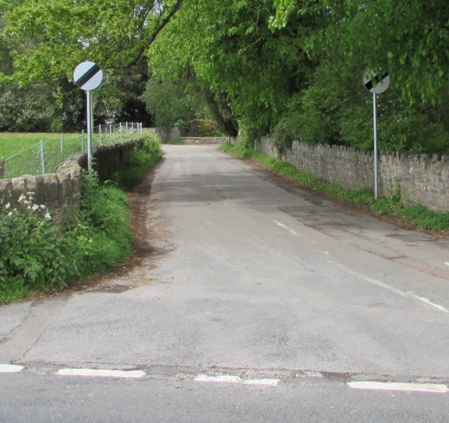
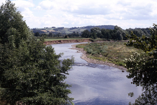
Pen-yr-heol is a small village located in Monmouthshire, Wales. Situated in the eastern part of the county, it lies approximately 4 miles northwest of the town of Usk and 14 miles northeast of Newport. The village is nestled in a picturesque rural setting, surrounded by rolling hills and green fields.

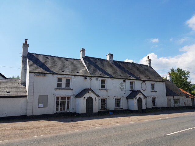
The name "Pen-yr-heol" translates to "end of the road" in English, reflecting its location at the end of a narrow lane. The village is predominantly residential, characterized by a mix of traditional stone cottages and more modern houses. It has a close-knit community with a population of around 300 people.

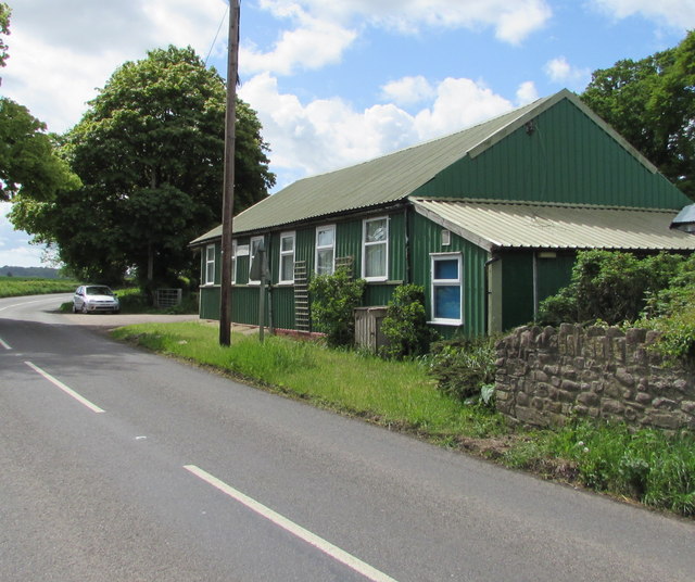
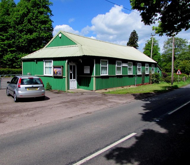
Pen-yr-heol benefits from its proximity to the beautiful Monmouthshire countryside, offering residents and visitors ample opportunities for outdoor activities such as walking, cycling, and horseback riding. The village itself does not have many amenities, but the nearby town of Usk provides essential services including shops, schools, and healthcare facilities.

Historically, Pen-yr-heol was primarily an agricultural community, with farming playing a significant role in the local economy. Today, while agriculture still plays a part, many residents commute to nearby towns and cities for work.

Overall, Pen-yr-heol is a tranquil and charming village that offers a peaceful rural lifestyle to its inhabitants. Its idyllic location and community spirit make it an appealing place to reside for those seeking a quiet and picturesque Welsh village experience.

If you have any feedback on the listing, please let us know in the comments section below.
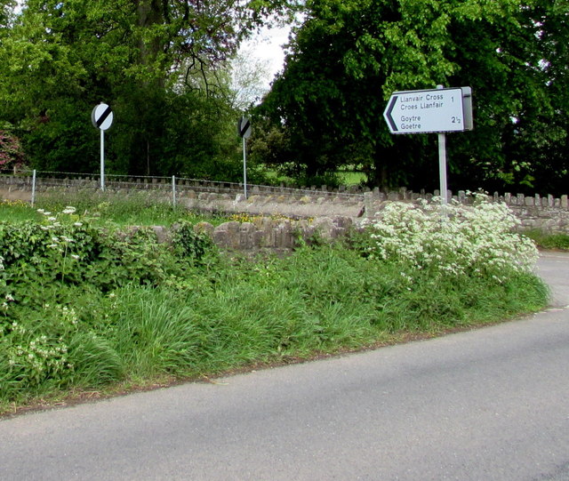
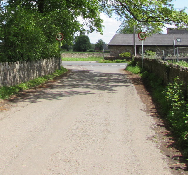
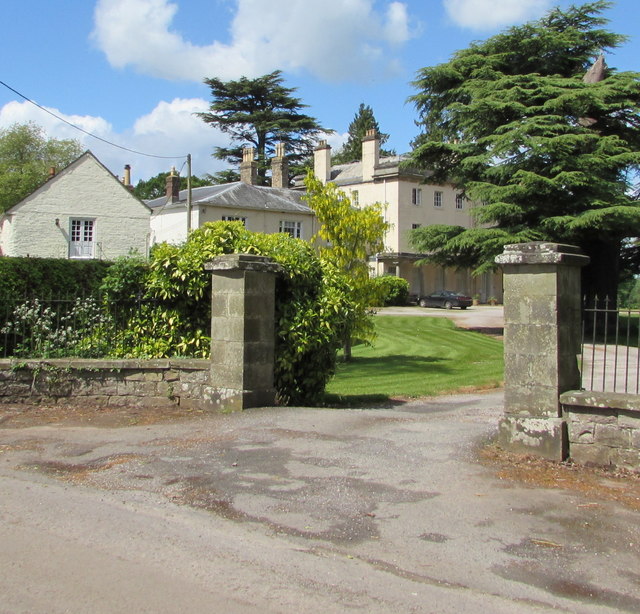
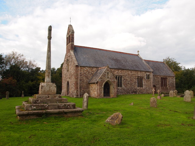
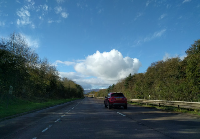
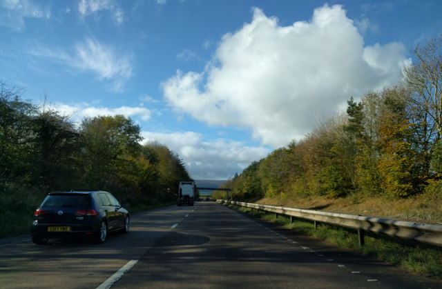
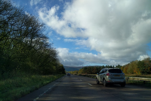
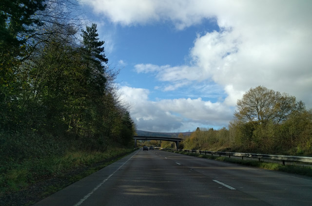
Pen-yr-heol Images

Images are sourced within 2km of 51.786286/-2.9473526 or Grid Reference SO3410. Thanks to Geograph Open Source API. All images are credited.

The King of Prussia, Penpergwm The King of Prussia Public House lies on the southern side of the B4598 in the village of Penpergwm. 
It is shown on the 1881 edition of the Ordnance Survey map.
Like many rural pubs it has suffered from loss of trade and has been closed for years.
It sits in front of a plant hire company who have sought permission to demolish it.
The local council are questioning some details, but it seems its fate is sealed.
The King of Prussia, Penpergwm
The King of Prussia Public House lies on the southern side of the B4598 in the village of Penpergwm. It is shown on the 1881 edition of the Ordnance Survey map. Like many rural pubs it has suffered from loss of trade and has been closed for years. It sits in front of a plant hire company who have sought permission to demolish it. The local council are questioning some details, but it seems its fate is sealed.
Llanfair Kilgeddin Village Hall Corrugated metal building on the west side of the B4598 in rural Monmouthshire between Usk and Abergavenny.
<a title="https://www.geograph.org.uk/photo/5390430" href="https://www.geograph.org.uk/photo/5390430">Link</a> to another view of the hall.
Llanfair Kilgeddin Village Hall
Corrugated metal building on the west side of the B4598 in rural Monmouthshire between Usk and Abergavenny. Link to another view of the hall.
Llanfair Kilgeddin Village Hall Corrugated metal building on the west side of the B4598 in rural Monmouthshire between Usk and Abergavenny.
<a title="https://www.geograph.org.uk/photo/5390425" href="https://www.geograph.org.uk/photo/5390425">Link</a> to another view of the hall.
Llanfair Kilgeddin Village Hall
Corrugated metal building on the west side of the B4598 in rural Monmouthshire between Usk and Abergavenny. Link to another view of the hall.
Minor road west from Llanfair Kilgeddin, Monmouthshire Viewed across the B4598. A nearby sign <a title="https://www.geograph.org.uk/photo/5390440" href="https://www.geograph.org.uk/photo/5390440">Link</a> pointing this way shows Llanvair Cross 1 (mile), Goytre 2½.
The 50mph speed limit increases to the National Speed Limit ahead.
Minor road west from Llanfair Kilgeddin, Monmouthshire
Viewed across the B4598. A nearby sign Link pointing this way shows Llanvair Cross 1 (mile), Goytre 2½. The 50mph speed limit increases to the National Speed Limit ahead.
Direction and distances sign, Llanfair Kilgeddin, Monmouthshire Facing northbound traffic on the B4598 on the corner of this <a title="https://www.geograph.org.uk/photo/5390433" href="https://www.geograph.org.uk/photo/5390433">Link</a> minor road junction.
Direction and distances sign, Llanfair Kilgeddin, Monmouthshire
Facing northbound traffic on the B4598 on the corner of this Link minor road junction.
End of the National Speed Limit, Llanfair Kilgeddin, Monmouthshire The National Speed Limit on the minor road from Llanvair Cross
and Goytre drops to 50mph on the approach to the B4598 junction.
End of the National Speed Limit, Llanfair Kilgeddin, Monmouthshire
The National Speed Limit on the minor road from Llanvair Cross and Goytre drops to 50mph on the approach to the B4598 junction.
Grade II Listed Pant-y-Goitre House, Llanfair Kilgeddin, Monmouthshire Built in c1726 with later major changes. Grade II listed in 1956.
Grade II Listed Pant-y-Goitre House, Llanfair Kilgeddin, Monmouthshire
Built in c1726 with later major changes. Grade II listed in 1956.
St Mary's, Llanfair Kilgeddin
On the A40, heading west
On the A40 heading for Abergavenny, heading west
Heading west on the A40
On the A40, heading west towards Abergavenny
St Michael's church, Llanvihangel Gobion
Peloton I don't know what the event was, but these cyclists were one of a number of groups out on this route that day. They were all wearing race numbers and they weren't hanging about! Taken while cowering out of the way at the edge of the road, having just crossed a stile on the route of the Usk Valley Walk. I barely had time to get the camera focused, never mind put any thought into framing the shot!
Peloton
I don't know what the event was, but these cyclists were one of a number of groups out on this route that day. They were all wearing race numbers and they weren't hanging about! Taken while cowering out of the way at the edge of the road, having just crossed a stile on the route of the Usk Valley Walk. I barely had time to get the camera focused, never mind put any thought into framing the shot!
Railway bridge at The Bryn The bridge carries the Hereford - Newport line across the River Usk at The Bryn near Abergavenny.
Railway bridge at The Bryn
The bridge carries the Hereford - Newport line across the River Usk at The Bryn near Abergavenny.
No Road Markings And indeed, no road. I don't know what this sign was doing here, but it's a fair way from the nearest road! I stood ankle deep in water to get this, as I recall.
No Road Markings
And indeed, no road. I don't know what this sign was doing here, but it's a fair way from the nearest road! I stood ankle deep in water to get this, as I recall.
The River Usk near The Bryn
Gobion Telephone Exchange This TE is located north of Llanvihangel Gobion and has the code SWLKX. It comprises of the old redbrick TE on the right dating from the GPO era, ie before 1969 with the wooden building on the left that was added more recently. This TE now provides telephone and broadband services to 414 residential and 37 non-residential premises in Llanvihangel Gobion, Coed Morgan, Llanarth, Llanddewi Rhydderch and the surrounding rural area. A white BT warning notice can be seen on the wooden building. The numbering range of the TE is (01873) 840xxx, the (01873) referring to the Abergavenny group of eight TEs, and its postcode is NP7 9AY.
Gobion Telephone Exchange
This TE is located north of Llanvihangel Gobion and has the code SWLKX. It comprises of the old redbrick TE on the right dating from the GPO era, ie before 1969 with the wooden building on the left that was added more recently. This TE now provides telephone and broadband services to 414 residential and 37 non-residential premises in Llanvihangel Gobion, Coed Morgan, Llanarth, Llanddewi Rhydderch and the surrounding rural area. A white BT warning notice can be seen on the wooden building. The numbering range of the TE is (01873) 840xxx, the (01873) referring to the Abergavenny group of eight TEs, and its postcode is NP7 9AY.
Show me another place!

Pen-yr-heol is located at Grid Ref: SO3410 (Lat: 51.786286, Lng: -2.9473526)

Unitary Authority: Monmouthshire

Police Authority: Gwent

What 3 Words

///desktops.clock.prongs. Near Llanarth, Monmouthshire

Nearby Locations

Pen-yr-heol

Related Wikis

Llanvihangel Gobion

Llanfihangel Gobion (Welsh: Llanfihangel-y-gofion) is a village and rural parish of Monmouthshire, Wales, lying within the administrative community of...

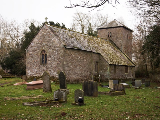
St Michael's Church, Llanvihangel Gobion

The Church of St Michael, Llanvihangel Gobion, Monmouthshire is a parish church with datable origins to the 15th century. There is no record of a Victorian...

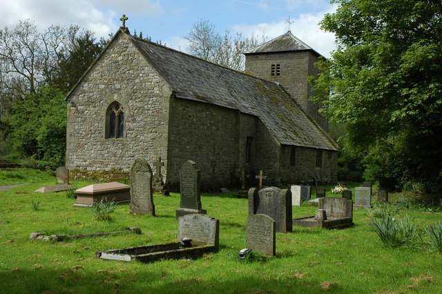
St Bride's Church, Llansantffraed

The Church of St Bride (or St Bridget) in Llansantffraed near Raglan, Monmouthshire, Wales, is a parish church of Norman origins. The church was restored...

Llansantffraed, Monmouthshire

Llansantffraed is the smallest parish in Monmouthshire, Wales, located four miles to the west of Raglan, north of the A40 between Raglan and Abergavenny...

Nearby Amenities

Located within 500m of 51.786286,-2.9473526
Power: pole
Lat/Long: 51.7825601/-2.9482041
Power: pole
Lat/Long: 51.7832335/-2.9481832
Man Made: utility_pole
Lat/Long: 51.7824401/-2.9475728
Man Made: mast
Tower Type: communication
Lat/Long: 51.7824542/-2.9475729
Man Made: utility_pole
Lat/Long: 51.7824508/-2.9477259
Man Made: utility_pole
Lat/Long: 51.78197/-2.9475858
Power: pole
Lat/Long: 51.7832654/-2.9463947
Power: pole
Lat/Long: 51.783272/-2.9454612
Power: pole
Lat/Long: 51.7831724/-2.943986
Power: pole
Lat/Long: 51.7830878/-2.9426476
Power: pole
Lat/Long: 51.7832488/-2.9472395
Direction: 190
Generator Method: photovoltaic
Generator Output Electricity: yes
Generator Solar Modules: 10
Generator Source: solar
Generator Type: solar_photovoltaic_panel
Location: roof
Power: generator
Lat/Long: 51.787801/-2.9466245
The data included in this document is from www.openstreetmap.org. The data is made available under ODbL.

Have you been to Pen-yr-heol?

Leave your review of Pen-yr-heol below (or comments, questions and feedback).