Bowling Green
Settlement in Shropshire
England
Bowling Green
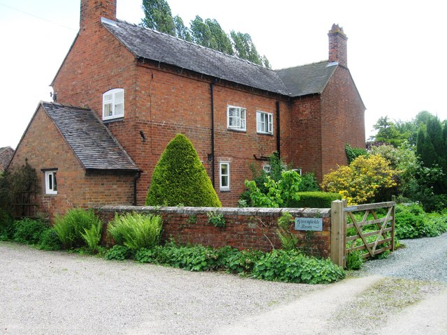
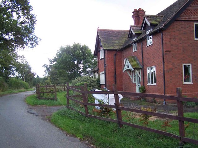
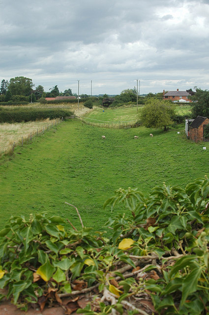
Bowling Green is a small village located in the county of Shropshire, England. Situated in the West Midlands region, it lies approximately 6 miles south of the town of Shrewsbury. The village is nestled in the picturesque countryside, surrounded by rolling hills and farmland.
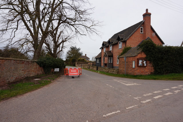
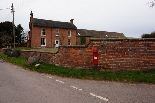
With a population of around 500 residents, Bowling Green is a tight-knit community with a strong sense of community spirit. The village is predominantly residential, with a scattering of small businesses and amenities. The architecture is a mix of traditional English cottages and more modern buildings.
One of the notable landmarks in Bowling Green is the village church, St. Mary's Church, which dates back to the 12th century. It is an impressive structure with stunning stained glass windows and a picturesque churchyard.
Despite its small size, Bowling Green offers a range of amenities to its residents. These include a village hall, a primary school, and a local pub, which serves as a popular social hub for residents and visitors alike.
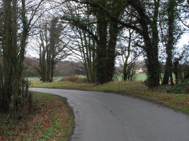
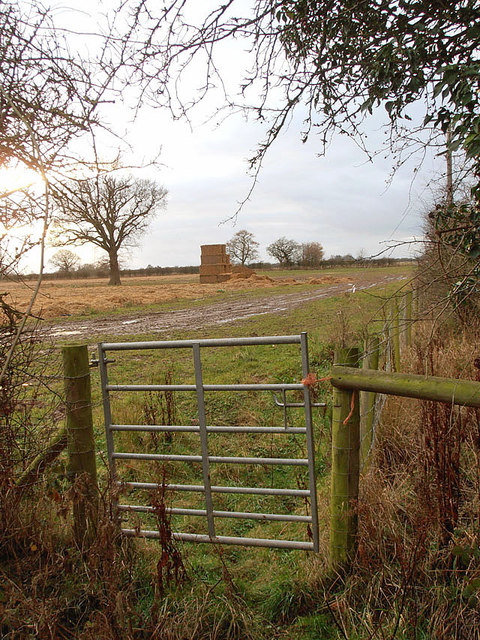
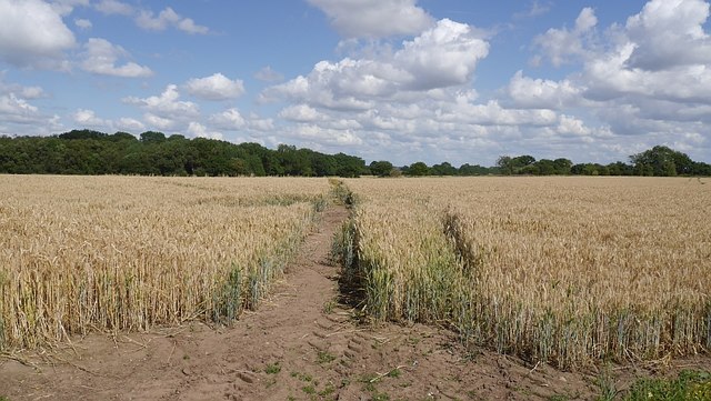
The surrounding countryside provides ample opportunities for outdoor activities such as walking, hiking, and cycling. The village is also within close proximity to the Shropshire Hills Area of Outstanding Natural Beauty, offering breathtaking views and diverse wildlife.
Overall, Bowling Green, Shropshire is a charming and peaceful village, ideal for those seeking a tranquil countryside lifestyle with access to beautiful natural surroundings.
If you have any feedback on the listing, please let us know in the comments section below.
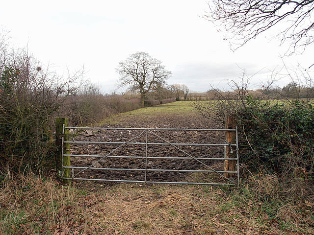
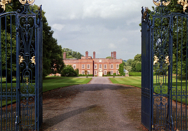
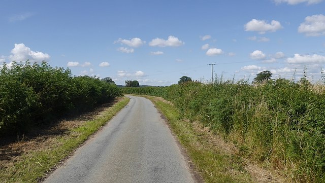
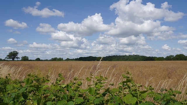
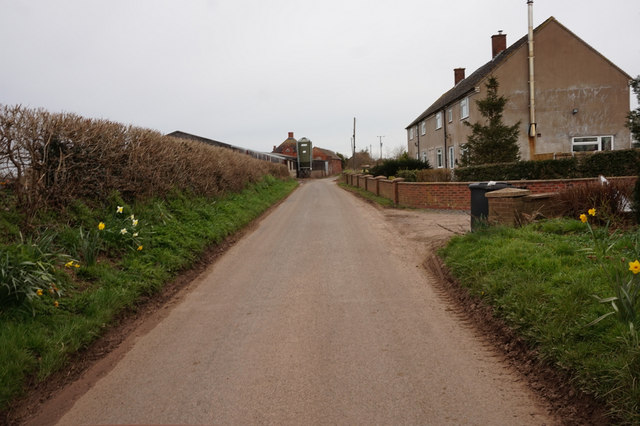
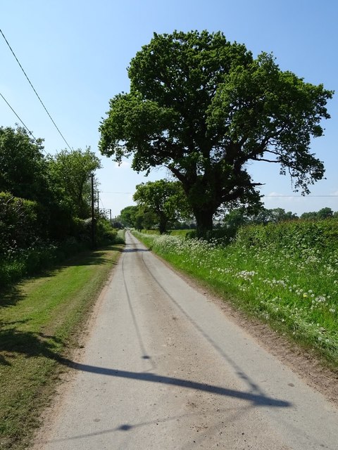
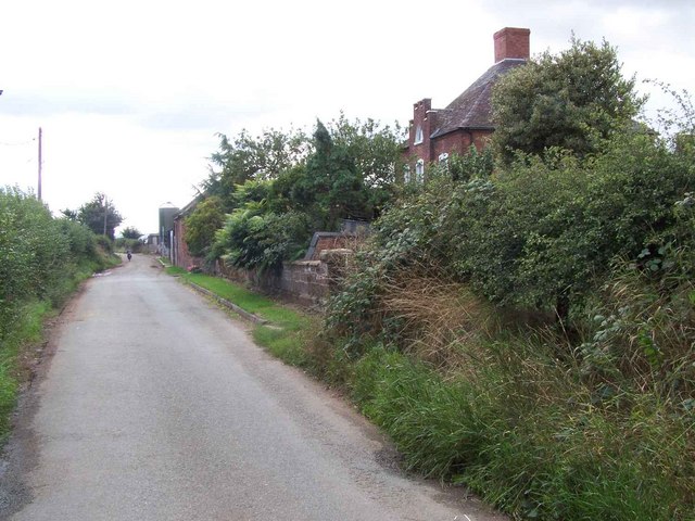
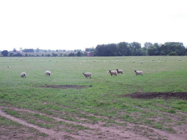
Bowling Green Images
Images are sourced within 2km of 52.825728/-2.550571 or Grid Reference SJ6325. Thanks to Geograph Open Source API. All images are credited.

Bowling Green is located at Grid Ref: SJ6325 (Lat: 52.825728, Lng: -2.550571)
Unitary Authority: Shropshire
Police Authority: West Mercia
What 3 Words
///instructs.vertical.rising. Near Stoke upon Tern, Shropshire
Nearby Locations
Related Wikis
Wellington and Drayton Railway
The Wellington and Drayton Railway was a standard gauge line in Central England which carried through freight and local passenger traffic until closure...

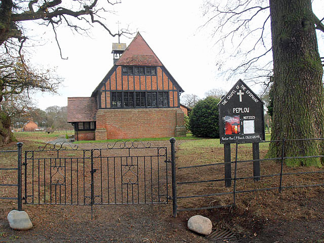
Peplow railway station
Peplow railway station was a station in Peplow, Shropshire, England. The station was opened in 1867 and closed in 1963. The track has been infilled to...

Peplow
Peplow is a hamlet in Shropshire, England. It is part of the civil parish of Hodnet, a larger village to the north. The hamlets of Bowling Green and Radmoor...

Peplow Hall
Peplow Hall is a privately owned 11,635 square feet (1,080.9 m2), 18th-century country house at Peplow, near Hodnet, Shropshire. It is the seat of The...

Ollerton, Shropshire
Ollerton is a small village, located in the parish of Stoke upon Tern in Shropshire, England. Ollerton is located in a rural area approximately midway...

Stoke on Tern
Stoke on Tern is a village located in Shropshire, England, on the River Tern. The civil parish is known as Stoke upon Tern. == Locality == The village...

Hodnet railway station
Hodnet railway station was a station in Hodnet, Shropshire, England. The station was opened in 1867 and closed in 1963. == References == == Further... ==

RNAS Hinstock (HMS Godwit)
Royal Naval Air Station Hinstock (RNAS Hinstock, also known as HMS Godwit) is a former Royal Navy, Fleet Air Arm station, located 4 miles (6 km) South...
Nearby Amenities
Located within 500m of 52.825728,-2.550571Have you been to Bowling Green?
Leave your review of Bowling Green below (or comments, questions and feedback).