Bowling Green
Settlement in Worcestershire Malvern Hills
England
Bowling Green

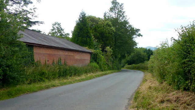
Bowling Green is a charming village situated in Worcestershire, a county in the West Midlands region of England. With a population of around 1,500 residents, this small community offers a tranquil and picturesque setting for its inhabitants. Nestled amidst rolling hills and green fields, Bowling Green is known for its scenic beauty and rural charm.
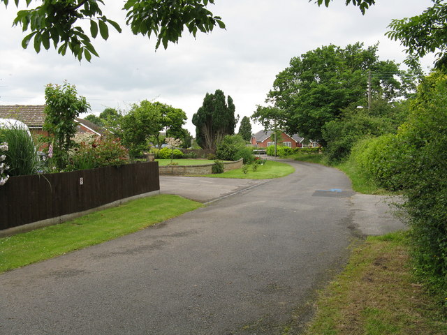
The village itself is characterized by a mix of traditional and modern architecture. Historic cottages with thatched roofs can be seen alongside contemporary houses, creating an interesting blend of old and new. The village center features a small square where locals can gather and enjoy the peaceful atmosphere.
Bowling Green is home to several amenities that cater to the needs of its residents. These include a village shop, a post office, and a pub, which serves as a popular meeting spot for locals and visitors alike. The pub often hosts community events, contributing to the village's strong sense of community.
Surrounded by the Worcestershire countryside, Bowling Green offers numerous opportunities for outdoor activities. The village is located near several walking and cycling routes, allowing residents to explore the area's natural beauty. In addition, the nearby countryside provides ample space for recreational activities such as picnicking and birdwatching.
Although Bowling Green is a small village, it benefits from its close proximity to larger towns and cities. The city of Worcester is just a short drive away, offering a wider range of amenities, shopping centers, and cultural attractions.
All in all, Bowling Green, Worcestershire is a picturesque village with a strong sense of community and access to the beautiful Worcestershire countryside.
If you have any feedback on the listing, please let us know in the comments section below.
Bowling Green Images
Images are sourced within 2km of 52.158286/-2.267478 or Grid Reference SO8151. Thanks to Geograph Open Source API. All images are credited.


Bowling Green is located at Grid Ref: SO8151 (Lat: 52.158286, Lng: -2.267478)
Administrative County: Worcestershire
District: Malvern Hills
Police Authority: West Mercia
What 3 Words
///together.ratio.window. Near Kempsey, Worcestershire
Nearby Locations
Related Wikis
Bowling Green, Worcestershire
Bowling Green is a village in Worcestershire, England.
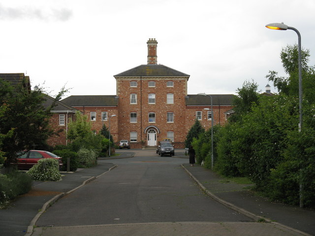
Powick Hospital
Powick Hospital, which opened in 1847 was a psychiatric facility located on 552 acres (223 ha) outside the village of Powick, near Malvern, Worcestershire...

Powick
Powick is a village and civil parish in the Malvern Hills district of Worcestershire, England, located two miles south of the city of Worcester and four...
River Teme
The River Teme (pronounced ; Welsh: Afon Tefeidiad) rises in Mid Wales, south of Newtown, and flows southeast roughly forming the border between England...
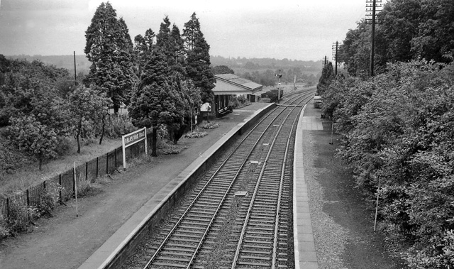
Bransford Road railway station
Bransford Road railway station was a station in Bransford, Worcestershire, England. The station was opened in 1860 and closed on 5 April 1965. The original...

Lower Wick, Worcester
Lower Wick is a suburb of Worcester situated to the south-west of the city. Lower Wick is located to the south of St. John's and to the west of the River...

Battle of Powick Bridge
The battle of Powick Bridge was a skirmish fought on 23 September 1642 south of Worcester, England, during the First English Civil War. It was the first...

Upper Wick
Upper Wick is a hamlet in the parish of Rushwick, Worcestershire. Ralph Ardern inherited the manor of Upper Wick between 1382 (the death of his father...
Nearby Amenities
Located within 500m of 52.158286,-2.267478Have you been to Bowling Green?
Leave your review of Bowling Green below (or comments, questions and feedback).