Pen-y-Bont

Settlement in Glamorgan

Wales

Pen-y-Bont

Ordnance Survey Rivet This OS rivet can be found on the large boulder NW side of the track. It marks a point 340.614m above mean sea level.
Ordnance Survey Rivet Credit: Adrian Dust

Pen-y-Bont, also known as Bridgend, is a town located in Glamorgan, South Wales. Situated at the convergence of the rivers Ogmore and Llynfi, Pen-y-Bont is approximately 20 miles west of Cardiff. With a population of around 39,000, it is the principal town of the Bridgend County Borough.

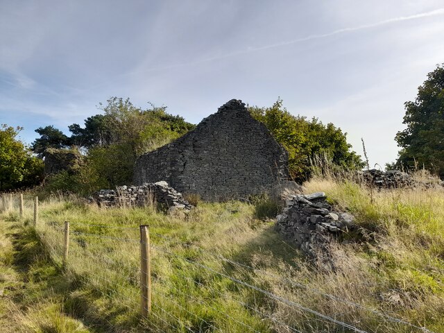
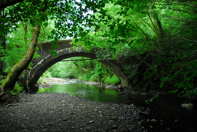
The town has a rich history, dating back to the medieval period when it served as a crossing point over the river Ogmore. During the Industrial Revolution, Pen-y-Bont experienced significant growth with the establishment of ironworks and coal mining in the area. Today, remnants of its industrial past can still be seen in the form of historic buildings and landmarks.

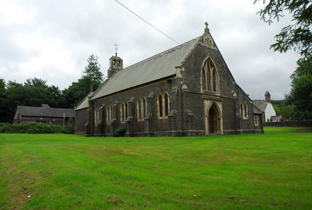
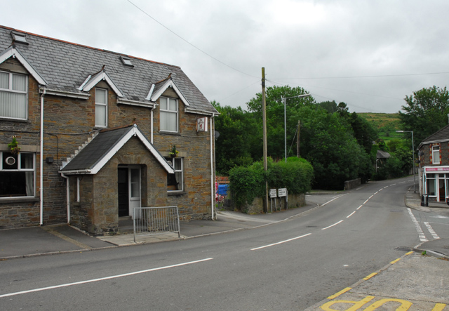
Pen-y-Bont is known for its vibrant town center, which offers a diverse range of shops, restaurants, and entertainment venues. The town also boasts a thriving arts and culture scene, with the Grand Pavilion hosting various performances throughout the year. Additionally, Bridgend is home to several parks and green spaces, providing opportunities for outdoor activities and recreational pursuits.

Transport links in Pen-y-Bont are excellent, with the M4 motorway passing nearby, connecting the town to other major cities in the region. The town also benefits from a railway station, providing convenient access to Cardiff and Swansea.

Overall, Pen-y-Bont is a lively town with a mix of historical charm and modern amenities. Its strategic location, rich history, and vibrant community make it an attractive place to live and visit in Glamorgan.

If you have any feedback on the listing, please let us know in the comments section below.
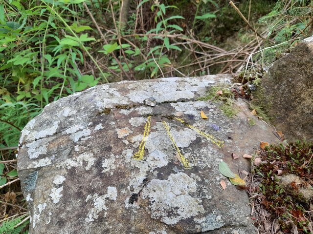
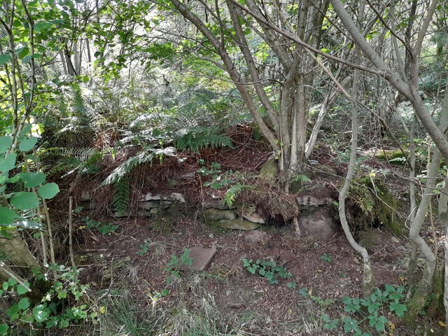
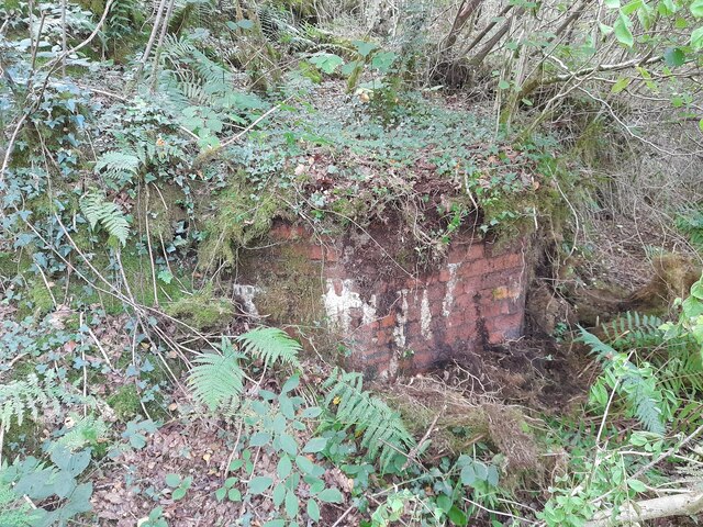
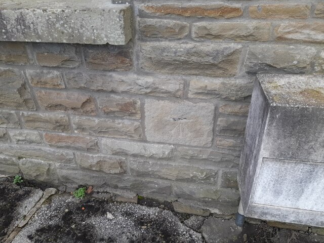
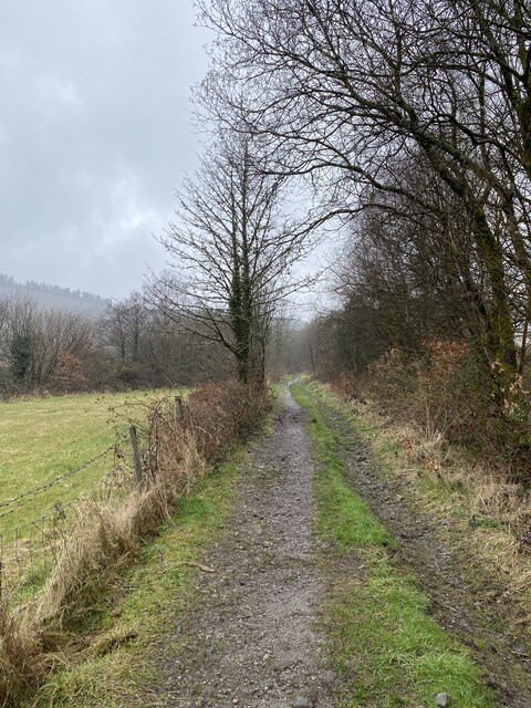
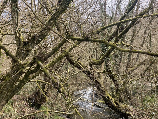
Pen-y-Bont Images

Images are sourced within 2km of 51.739478/-3.7494777 or Grid Reference SN7905. Thanks to Geograph Open Source API. All images are credited.

Ordnance Survey Rivet This OS rivet can be found on the large boulder NW side of the track. It marks a point 340.614m above mean sea level.
Ordnance Survey Rivet
This OS rivet can be found on the large boulder NW side of the track. It marks a point 340.614m above mean sea level.
Ordnance Survey Rivet This OS rivet can be found on the west angle of Gelligaled Ruin. It marks a point 240.277m above mean sea level.
Ordnance Survey Rivet
This OS rivet can be found on the west angle of Gelligaled Ruin. It marks a point 240.277m above mean sea level.
Gelligaled Ruin
Gelligaled Ruin
Ruined Wall Junction In Woodland
Woodland Track
Woodland Track
Woodland Track
Woodland Track
Woodland Track
Woodland Track
Ordnance Survey Cut Mark This OS cut mark can be found on the old mine building. It marks a point 139.294m above mean sea level.
Ordnance Survey Cut Mark
This OS cut mark can be found on the old mine building. It marks a point 139.294m above mean sea level.
Mine Workings
Mine Workings
Ordnance Survey Cut Mark This OS cut mark can be found on No11 Yniswen Terrace. It marks a point 106.811m above mean sea level.
Ordnance Survey Cut Mark
This OS cut mark can be found on No11 Yniswen Terrace. It marks a point 106.811m above mean sea level.
Track along Nant Meurig
Afon Creunant
Afon Creunant
Neath Port Talbot County Boundary on Rhos Common The boundary between the counties of Neath Port Talbot (ahead) and Powys on the road over 'Rhos Common' between Ystradgynlais and Crynant.
Neath Port Talbot County Boundary on Rhos Common
The boundary between the counties of Neath Port Talbot (ahead) and Powys on the road over 'Rhos Common' between Ystradgynlais and Crynant.
Godrerhos Independent Chapel Godrerhos Chapel was originally built in 1754 and rebuilt in 1855. The Sunday School was mentioned in the infamous 'Reports of the Commissioners of Inquiry into the State of Education in Wales' Part 1: Carmarthen, Glamorgan and Pembroke (pp.176-177) <span class="nowrap"><a title="http://digidol.llgc.org.uk/METS/SEW00002c/frames?div=1&subdiv=0&locale=en&mode=reference" rel="nofollow ugc noopener" href="http://digidol.llgc.org.uk/METS/SEW00002c/frames?div=1&subdiv=0&locale=en&mode=reference">Link</a><img style="margin-left:2px;" alt="External link" title="External link - shift click to open in new window" src="https://s1.geograph.org.uk/img/external.png" width="10" height="10"/></span>
Godrerhos Independent Chapel
Godrerhos Chapel was originally built in 1754 and rebuilt in 1855. The Sunday School was mentioned in the infamous 'Reports of the Commissioners of Inquiry into the State of Education in Wales' Part 1: Carmarthen, Glamorgan and Pembroke (pp.176-177) LinkExternal link
Entrance to Crynant Forest Entrance to Crynant Forest from Rhos Common
Entrance to Crynant Forest
Entrance to Crynant Forest from Rhos Common
The Old Road, Crynant The Old Road linking Crynant with Cilffrew. The barred entrance is the pathway leading to Gelli-Galed.
The Old Road, Crynant
The Old Road linking Crynant with Cilffrew. The barred entrance is the pathway leading to Gelli-Galed.
Stone bridge over the River Dulais at Crynant Bridge over the River Dulais at Maesmawr which carried the old road from Crynant to Cilffrew.
Stone bridge over the River Dulais at Crynant
Bridge over the River Dulais at Maesmawr which carried the old road from Crynant to Cilffrew.
St. Margaret's Church, Crynant St. Margaret's Church was built in the early 20th century. The partly white-washed building to the right is the 'Chapel of Ease' (circa 1500). The building to the left is the telephone exchange.
St. Margaret's Church, Crynant
St. Margaret's Church was built in the early 20th century. The partly white-washed building to the right is the 'Chapel of Ease' (circa 1500). The building to the left is the telephone exchange.
Show me another place!

Pen-y-Bont is located at Grid Ref: SN7905 (Lat: 51.739478, Lng: -3.7494777)

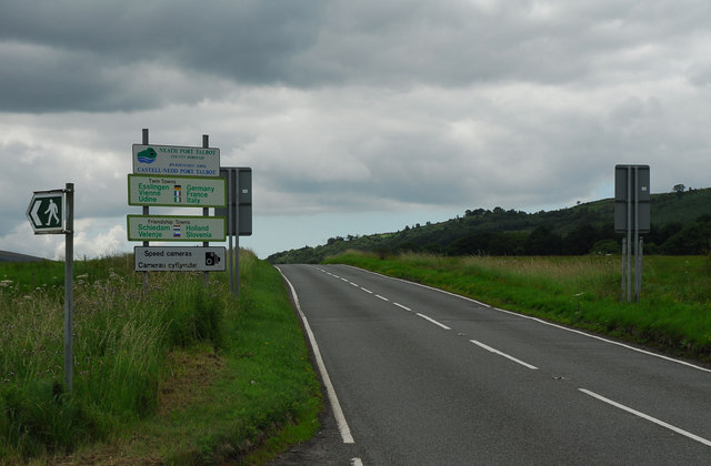
Unitary Authority: Neath Port Talbot

Police Authority: South Wales

What 3 Words

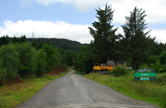
///volume.printouts.breathing. Near Crynant, Neath Port Talbot

Related Wikis

Dulais Valley

The Dulais Valley, one of the South Wales Valleys, is traversed by the River Dulais in southwest Wales north of the town of Neath, Wales. Settlements in...

A4109 road

The A4109 road, known as the Inter-Valley Road, links Aberdulais with Glynneath in Neath Port Talbot county borough, Wales. The route begins in Aberdulais...

Crynant

Crynant (Welsh: Y Creunant) is a village and community in the Dulais Valley in Wales. It lies 7¾ miles north-east from the town of Neath in Neath Port...

Neath (UK Parliament constituency)

Neath (Welsh: Castell-nedd) is a constituency represented in the House of Commons of the UK Parliament since 2015 by Christina Rees, a Labour and Co-operative...

Neath (Senedd constituency)

Neath (Welsh: Castell-nedd) is a constituency of the Senedd. It elects one Member of the Senedd by the first past the post method of election. Also, however...

Cefn Coed Colliery Halt railway station

Cefn Coed Colliery Halt railway station served the village of Crynant, in the historical county of Glamorganshire, Wales, from 1930 to 1962 on the Neath...

Seven Sisters A.F.C.

Seven Sisters Onllwyn F.C. is a Welsh football team based in Neath, currently playing in the Ardal SW, which is at the third tier of the Welsh football...

Ystradgynlais Community Hospital

Ystradgynlais Community Hospital (Welsh: Ysbyty Cymunedol Ystradgynlais) is a health facility in Glanrhyd Road, Ystradgynlais, Powys, Wales. It is managed...

Nearby Amenities

Located within 500m of 51.739478,-3.7494777
Turning Circle
Lat/Long: 51.7417686/-3.7485481
Bus Stop
Crynant, Gradon Arms
Bus: yes
Naptan AtcoCode: 5820AWC52652
Naptan NaptanCode: nptjapt
Public Transport: platform
Lat/Long: 51.7369314/-3.749397
Bus Stop
Crynant, Gradon Arms
Bus: yes
Naptan AtcoCode: 5820AWC52651
Naptan NaptanCode: nptjapm
Public Transport: platform
Lat/Long: 51.7365303/-3.7492508
Treforgan
Alt Name: Tre-Forgan
Place: hamlet
Source: NLS-OS-1st_Series
Lat/Long: 51.7392142/-3.7538894
Post Box
Collection Times: Mo-Fr 09:00; Sa 07:00
Post Box Type: lamp
Ref: SA10 36D
Royal Cypher: EIIR
Royal Cypher Wikidata: Q33102113
Lat/Long: 51.7380731/-3.7493459
Give Way
Lat/Long: 51.7392679/-3.7493288
Direction: 280
Generator Method: photovoltaic
Generator Output Electricity: yes
Generator Solar Modules: 3
Generator Source: solar
Generator Type: solar_photovoltaic_panel
Location: roof
Power: generator
Lat/Long: 51.7393112/-3.7518304
Direction: 95
Generator Method: photovoltaic
Generator Output Electricity: yes
Generator Solar Modules: 16
Generator Source: solar
Generator Type: solar_photovoltaic_panel
Location: roof
Power: generator
Lat/Long: 51.7377657/-3.7529904
Direction: 95
Generator Method: photovoltaic
Generator Output Electricity: yes
Generator Solar Modules: 6
Generator Source: solar
Generator Type: solar_photovoltaic_panel
Location: roof
Power: generator
Lat/Long: 51.738564/-3.7523343
Direction: 195
Generator Method: photovoltaic
Generator Output Electricity: yes
Generator Solar Modules: 3
Generator Source: solar
Generator Type: solar_photovoltaic_panel
Location: roof
Power: generator
Lat/Long: 51.7385401/-3.7524372
Direction: 195
Generator Method: photovoltaic
Generator Output Electricity: yes
Generator Solar Modules: 3
Generator Source: solar
Generator Type: solar_photovoltaic_panel
Location: roof
Power: generator
Lat/Long: 51.7385808/-3.7524278
Direction: 190
Generator Method: photovoltaic
Generator Output Electricity: yes
Generator Solar Modules: 7
Generator Source: solar
Generator Type: solar_photovoltaic_panel
Location: roof
Power: generator
Lat/Long: 51.7392842/-3.7518042
Direction: SSW
Generator Method: photovoltaic
Generator Output Electricity: yes
Generator Solar Modules: 16
Generator Source: solar
Generator Type: solar_photovoltaic_panel
Location: roof
Power: generator
Lat/Long: 51.7424091/-3.7477843
Direction: SSW
Generator Method: photovoltaic
Generator Output Electricity: yes
Generator Solar Modules: 16
Generator Source: solar
Generator Type: solar_photovoltaic_panel
Location: roof
Power: generator
Lat/Long: 51.7417066/-3.7477179
Give Way
Lat/Long: 51.7394702/-3.7490979
Give Way
Direction: forward
Lat/Long: 51.7350511/-3.7493581
Bus Stop
Tre-Forgan Village
Bus: yes
Naptan AtcoCode: 5820AWC52799
Naptan NaptanCode: nptjapw
Public Transport: platform
Shelter: yes
Lat/Long: 51.7399689/-3.7498885
The data included in this document is from www.openstreetmap.org. The data is made available under ODbL.

Have you been to Pen-y-Bont?

Leave your review of Pen-y-Bont below (or comments, questions and feedback).