Y Creunant
Settlement in Glamorgan
Wales
Y Creunant
Y Creunant is a small village located in the county borough of Neath Port Talbot, Glamorgan, Wales. Situated near the southern edge of the Brecon Beacons National Park, it is surrounded by stunning landscapes and lush greenery. The village lies approximately 11 miles north of Swansea and 3 miles southwest of the town of Pontardawe.
Y Creunant is a peaceful and close-knit community, with a population of around 1,500 residents. The village is primarily residential, consisting mainly of traditional Welsh houses and cottages. Many of these properties offer picturesque views of the nearby mountains and valleys.
The village benefits from a range of amenities, including a local primary school, a community center, and a small convenience store. The community center serves as a hub for various activities and events, bringing residents together to socialize and engage in recreational pursuits.
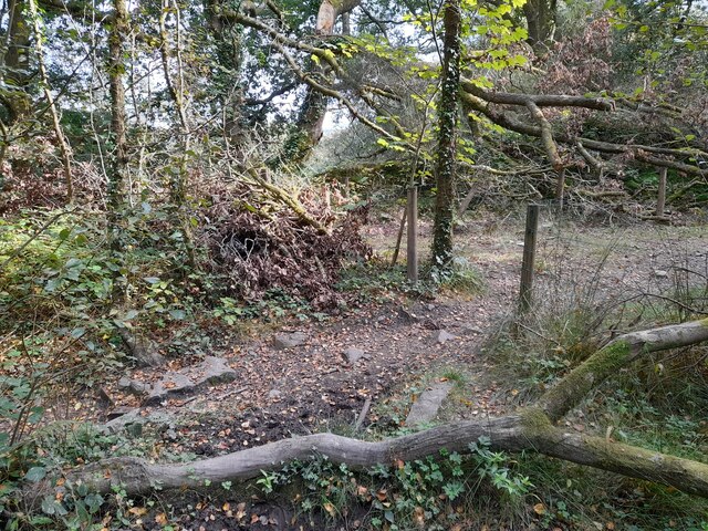
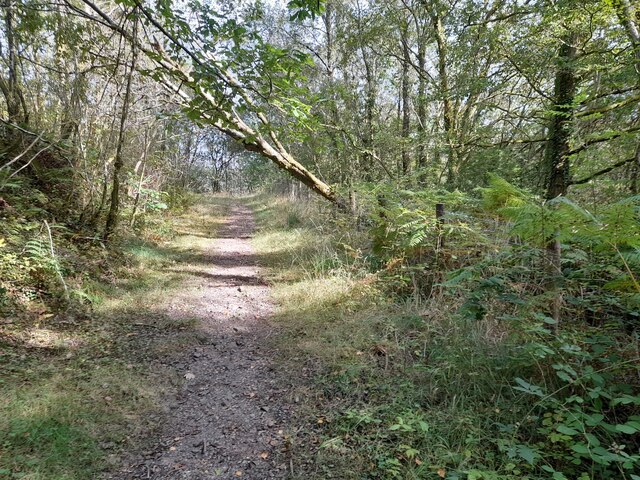
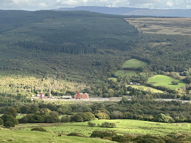
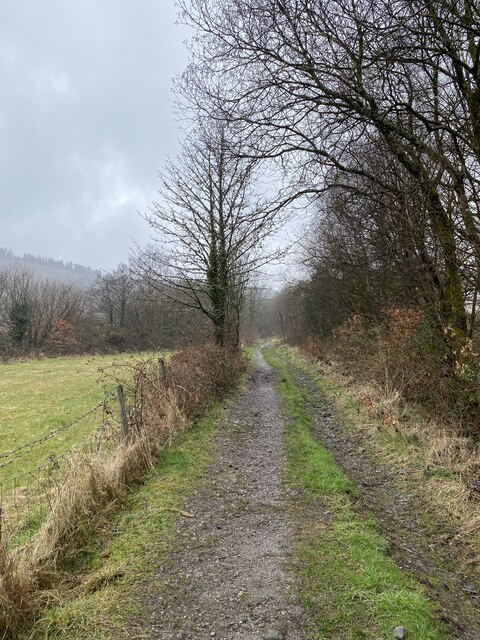
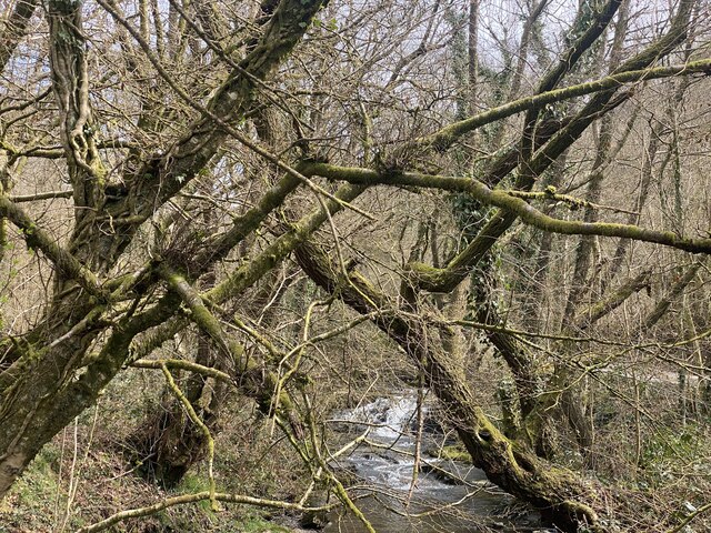
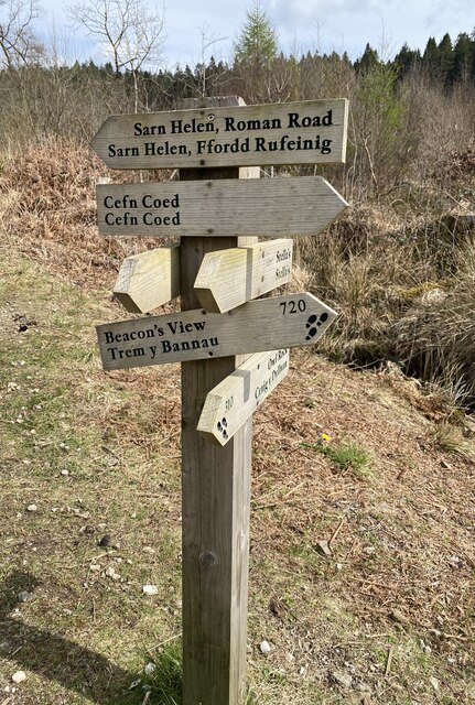
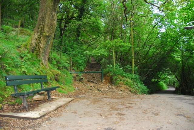
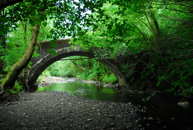
Outdoor enthusiasts are drawn to Y Creunant due to its proximity to natural beauty spots. The surrounding area offers numerous opportunities for hiking, cycling, and exploring the countryside. The nearby Afon Creunant river flows through the village, providing a tranquil setting for fishing and picnicking.
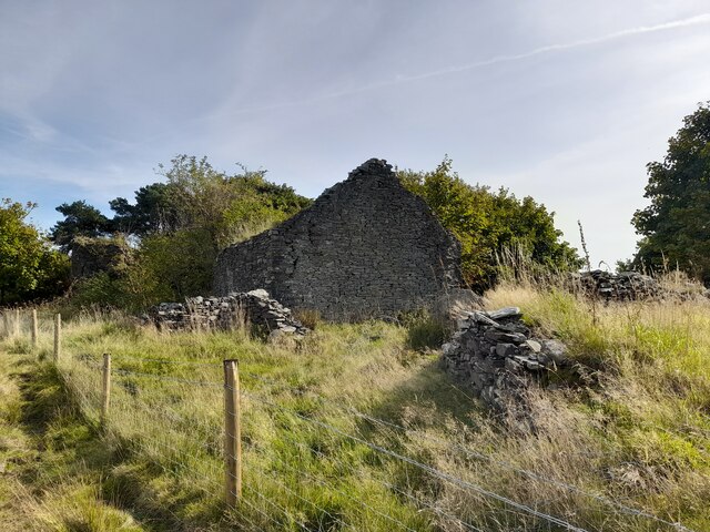
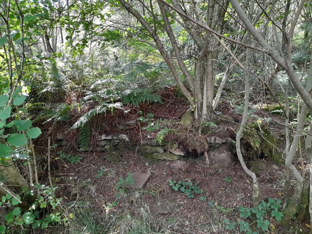
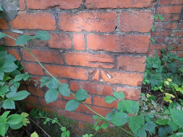
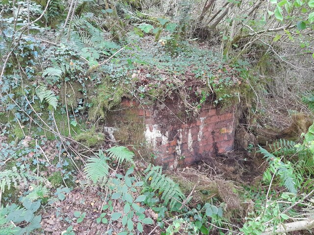
Y Creunant enjoys a rich history, with evidence of Iron Age settlements in the local area. The village has also been influenced by the coal mining industry, which was prevalent in Glamorgan during the 19th and 20th centuries. Although the mines have long since closed, reminders of this industrial heritage can still be found within the village.
Overall, Y Creunant is a charming and idyllic village, offering a peaceful retreat for residents and visitors alike, with its natural beauty and strong sense of community.
If you have any feedback on the listing, please let us know in the comments section below.
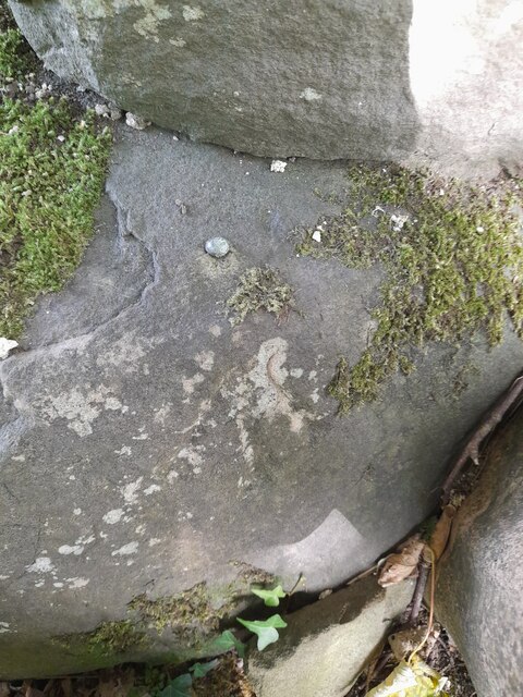
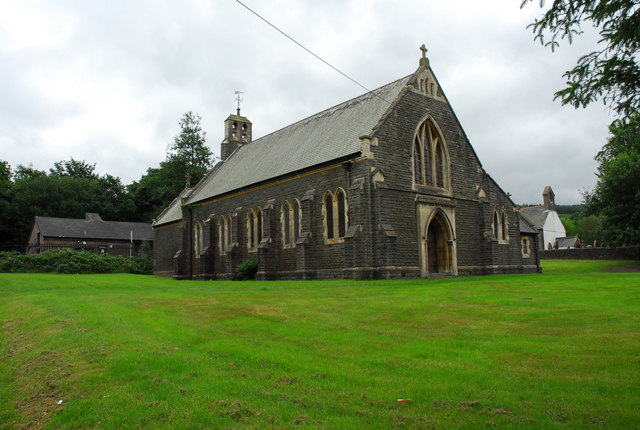
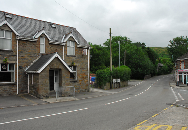
Y Creunant Images
Images are sourced within 2km of 51.731211/-3.747574 or Grid Reference SN7905. Thanks to Geograph Open Source API. All images are credited.

Y Creunant is located at Grid Ref: SN7905 (Lat: 51.731211, Lng: -3.747574)
Unitary Authority: Neath Port Talbot
Police Authority: South Wales
Also known as: Crynant
What 3 Words
///melons.fingertip.clash. Near Crynant, Neath Port Talbot
Nearby Locations
Related Wikis
Crynant
Crynant (Welsh: Y Creunant) is a village and community in the Dulais Valley in Wales. It lies 7¾ miles north-east from the town of Neath in Neath Port...

Dulais Valley
The Dulais Valley, one of the South Wales Valleys, is traversed by the River Dulais in southwest Wales north of the town of Neath, Wales. Settlements in...

Cefn Coed Colliery Halt railway station
Cefn Coed Colliery Halt railway station served the village of Crynant, in the historical county of Glamorganshire, Wales, from 1930 to 1962 on the Neath...

A4109 road
The A4109 road, known as the Inter-Valley Road, links Aberdulais with Glynneath in Neath Port Talbot county borough, Wales. The route begins in Aberdulais...

Neath (UK Parliament constituency)
Neath (Welsh: Castell-nedd) is a constituency represented in the House of Commons of the UK Parliament since 2015 by Christina Rees, a Labour and Co-operative...
Neath (Senedd constituency)
Neath (Welsh: Castell-nedd) is a constituency of the Senedd. It elects one Member of the Senedd by the first past the post method of election. Also, however...

Mynydd Marchywel
Mynydd Marchywel is a 418-metre (1,371 ft) high hill in the Neath Port Talbot area in South Wales. Its summit is marked both by a cairn and a trig point...
Abergarwed
Abergarwed is a village in the Welsh county borough of Neath Port Talbot, south Wales. It is located in the Vale of Neath, in the electoral ward of Resolven...
Nearby Amenities
Located within 500m of 51.731211,-3.747574Have you been to Y Creunant?
Leave your review of Y Creunant below (or comments, questions and feedback).