Peel Brow
Settlement in Lancashire
England
Peel Brow
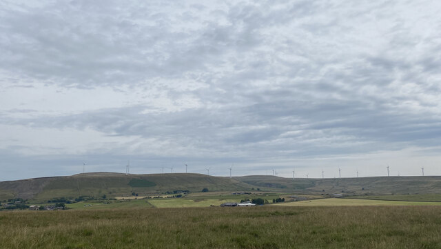
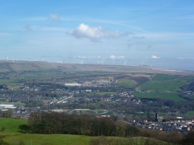
Peel Brow is a small village located in the county of Lancashire, England. Nestled in the picturesque West Pennine Moors, this rural community is known for its stunning natural beauty and tranquil atmosphere.
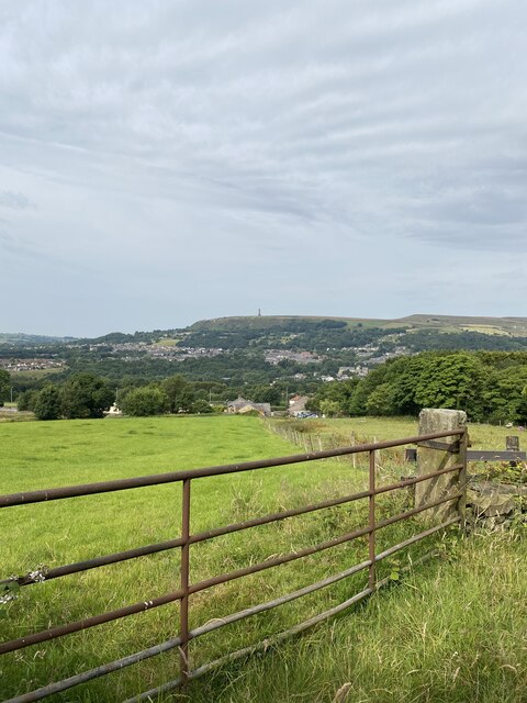
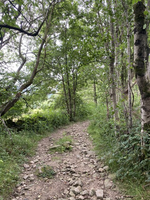
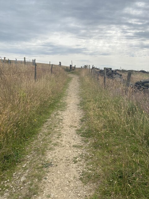
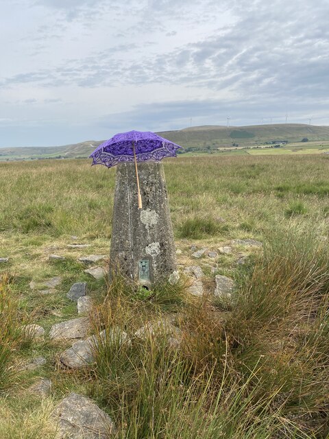
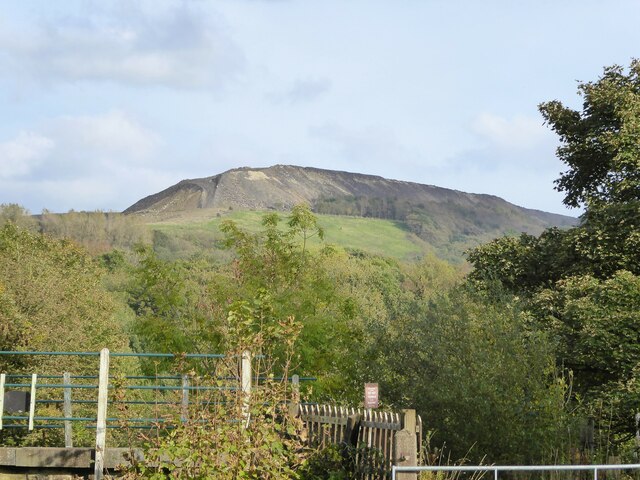
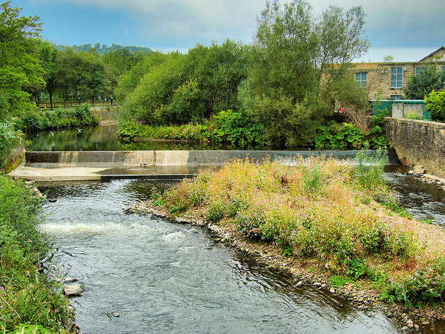
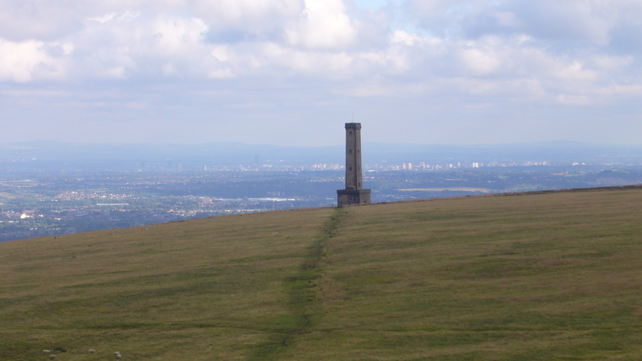
The village is situated on the edge of Darwen, a larger town nearby, and is surrounded by rolling hills and lush greenery. The area is popular among outdoor enthusiasts, offering numerous walking trails and scenic viewpoints for visitors to enjoy. Peel Tower, a historic landmark situated atop Holcombe Hill, is a notable attraction in the vicinity, providing panoramic views of the surrounding countryside.
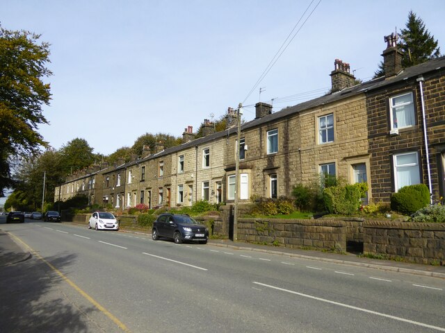
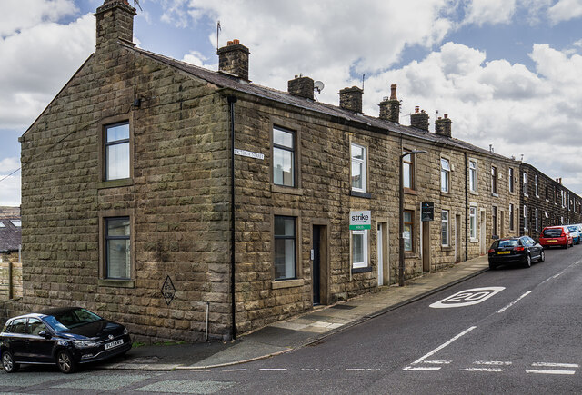
Despite its small size, Peel Brow boasts a close-knit community that takes pride in its local heritage. The village has a number of charming stone cottages and traditional buildings, which contribute to its quaint and timeless character. The residents are known for their warm hospitality and friendly nature, welcoming visitors from far and wide.
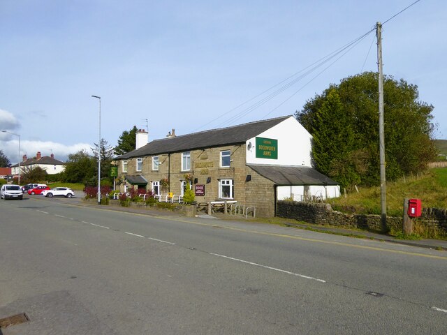
While Peel Brow itself does not have many amenities, the nearby town of Darwen provides a range of facilities including shops, schools, and healthcare services. The village is also well-connected to the wider region, with good transport links to Manchester and other major cities.
In summary, Peel Brow offers a peaceful and idyllic setting for those seeking a rural retreat. With its stunning landscapes, rich history, and friendly community, this small village in Lancashire provides a true escape from the hustle and bustle of modern life.
If you have any feedback on the listing, please let us know in the comments section below.
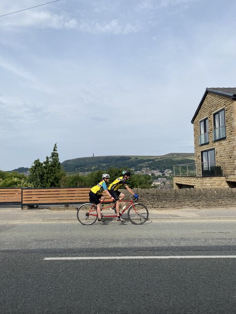
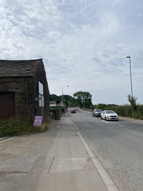
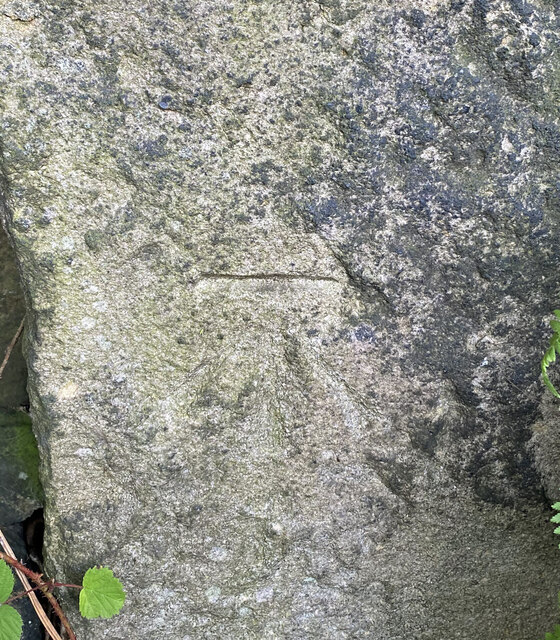
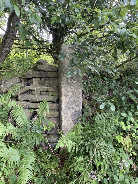
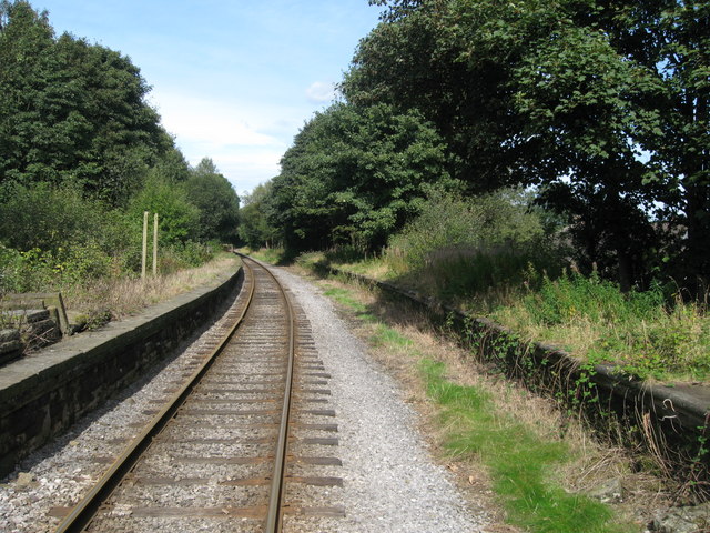
Peel Brow Images
Images are sourced within 2km of 53.647492/-2.309853 or Grid Reference SD7916. Thanks to Geograph Open Source API. All images are credited.
Peel Brow is located at Grid Ref: SD7916 (Lat: 53.647492, Lng: -2.309853)
Unitary Authority: Bury
Police Authority: Greater Manchester
What 3 Words
///ambushes.friday.hostels. Near Ramsbottom, Manchester
Nearby Locations
Related Wikis
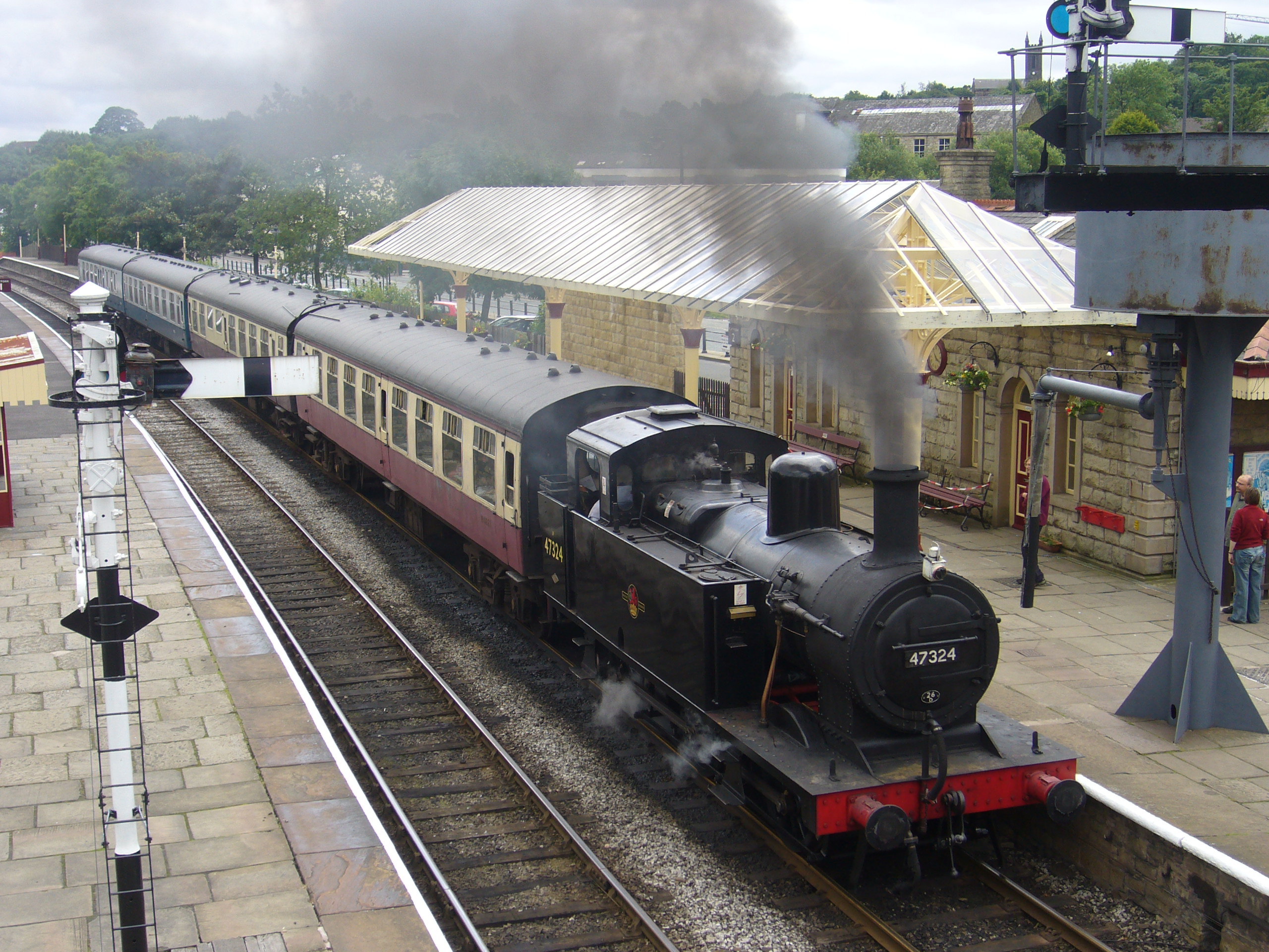
Ramsbottom railway station
Ramsbottom railway station is a heritage station serving the town of Ramsbottom in Greater Manchester, England. == History == The station was built by...

Ramsbottom United F.C.
Ramsbottom United Football Club are an English football club based in Ramsbottom, Greater Manchester. Nicknamed "The Rams", they currently compete in the...

Ramsbottom
Ramsbottom is a market town in the Metropolitan Borough of Bury, Greater Manchester, England. The population at the 2011 census was 17,872.Historically...
Holcombe, Greater Manchester
Holcombe is a village in Ramsbottom ward, Metropolitan Borough of Bury, in Greater Manchester, England. It is situated south of Haslingden, east of Edgworth...

Stubbins
Stubbins is an industrial village in the southern part of the Rossendale Valley, Lancashire, England. It is half a mile north of Ramsbottom town centre...

Shuttleworth, Greater Manchester
Shuttleworth is a hamlet at the northeastern extremity of the Metropolitan Borough of Bury, in Greater Manchester, England. It lies amongst the South Pennines...
Stubbins railway station
Stubbins railway station served the village of Stubbins, Rossendale, Lancashire, England. Opened by the East Lancashire Railway in 1847 on their line...

Irwell Valley
The Irwell Valley in North West England extends from the Forest of Rossendale through the cities of Salford and Manchester. The River Irwell runs through...
Related Videos

Peel Monument | Peel Tower and Holcombe Hill | Travel Vlog
travel #britishhistory #heritage @AbdullahJiVlogs Built in 1852 this well known Bury landmark was erected in tribute to one of ...
![[4k] Solo Walking in the UK - Holcombe Hill to Peel Tower](https://i.ytimg.com/vi/v1Z1TUi5PzU/hqdefault.jpg)
[4k] Solo Walking in the UK - Holcombe Hill to Peel Tower
Solo walk from Helmshore up Holcombe Hill to Peel Tower, Lancashire, England. Enjoy the sounds of nature and the crunch of ...

A New Adventure Vlog / Peaceful Place / Best For Hiking Lovers
VLOG- A New Adventure/ Peaceful Place/ Best For Hiking Lovers #explore #new #placestovisit #hiking #adventure #peace ...
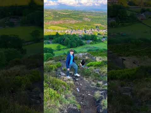
Do you love hiking? #hiking #mountains #love #uk #healthy #climbing #running
VLOG-My Breakfast Routine / Morning Walk / Healthy Diet / Busy Life #morning #morningroutine #diet #foodie #love #best ...
Nearby Amenities
Located within 500m of 53.647492,-2.309853Have you been to Peel Brow?
Leave your review of Peel Brow below (or comments, questions and feedback).