Fletcher Bank
Settlement in Lancashire
England
Fletcher Bank

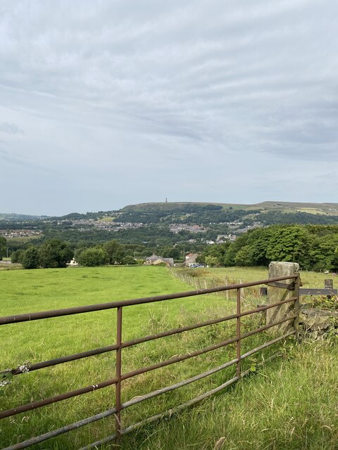
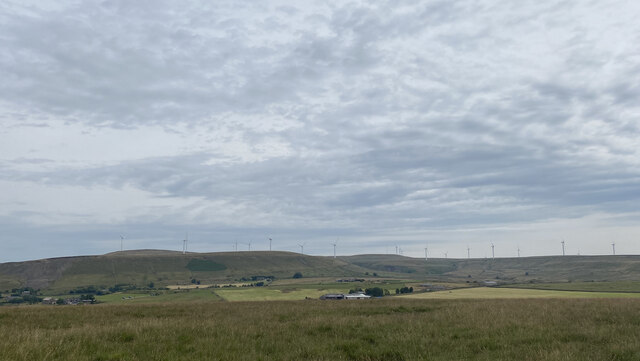
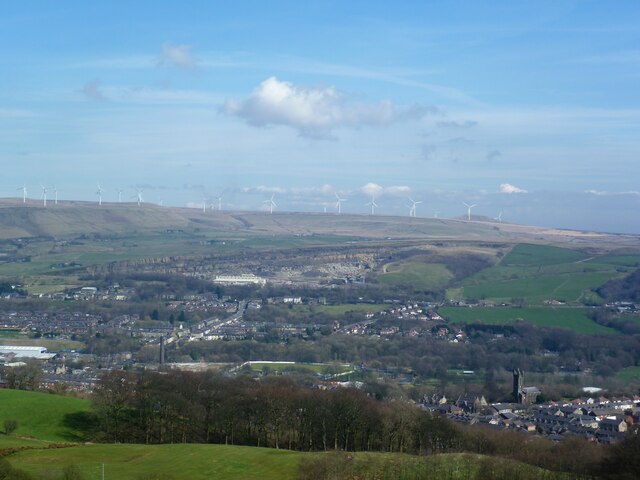
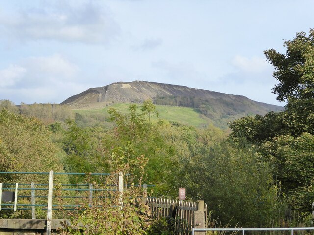
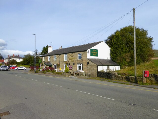
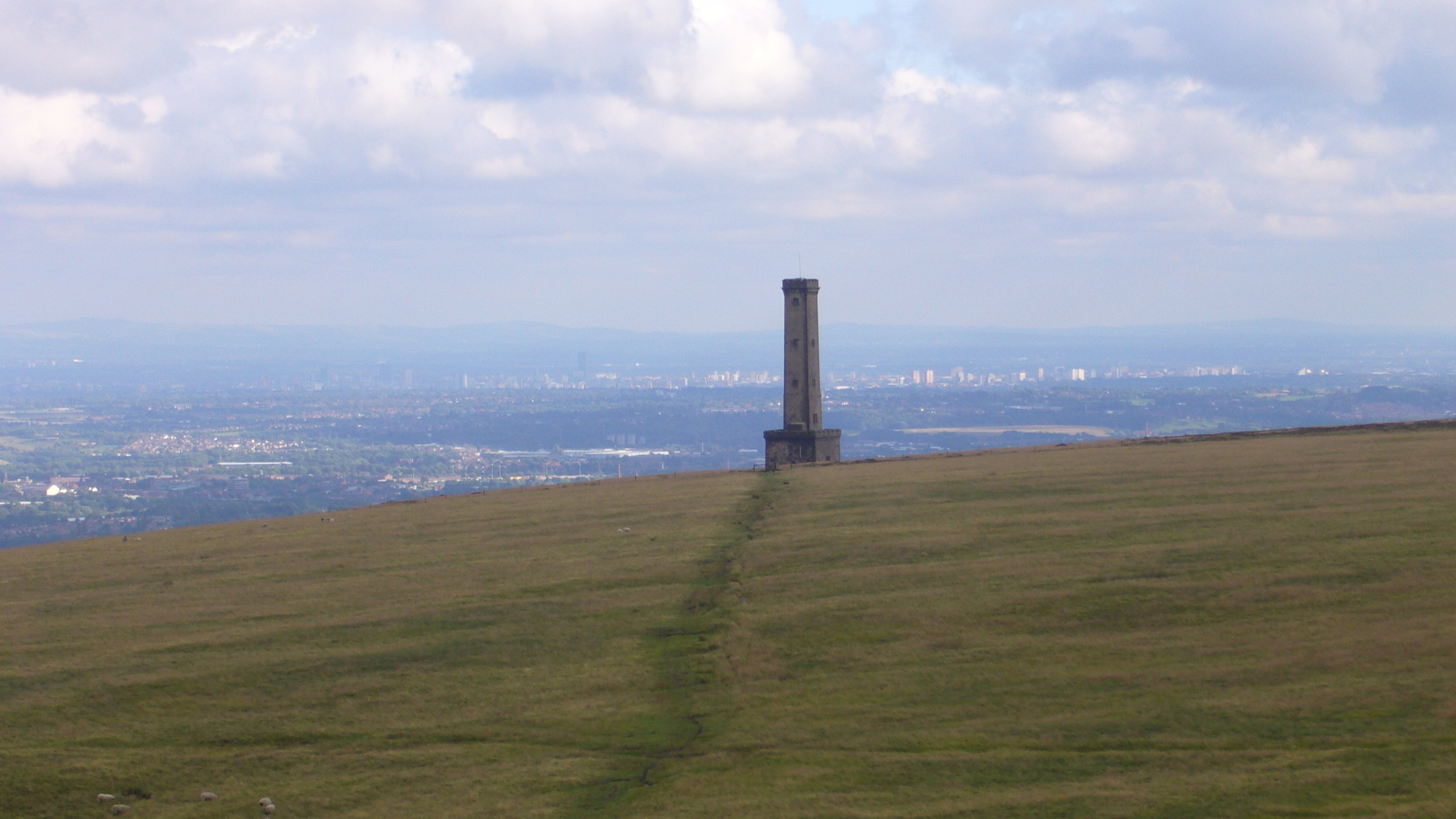
Fletcher Bank is a small village located in the county of Lancashire, England. Situated in the borough of Rossendale, the village is nestled within the picturesque landscape of the South Pennines, offering stunning views of the surrounding hills and valleys.
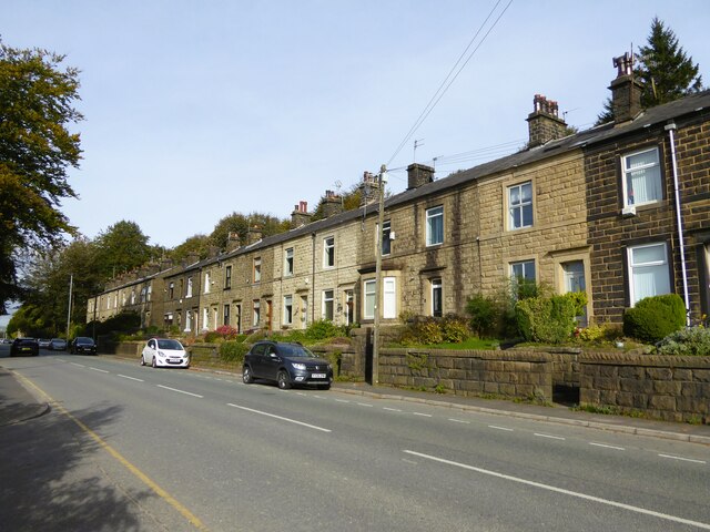
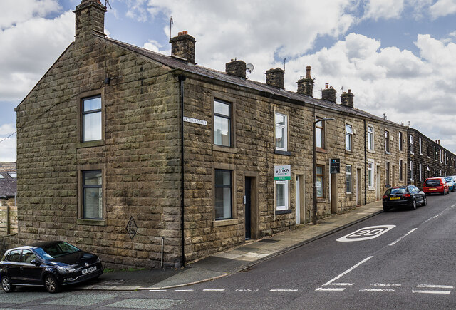
With a population of around 500 residents, Fletcher Bank maintains a close-knit community atmosphere. The village is primarily residential, characterized by a mix of traditional stone-built houses and more modern properties. Its quaint charm and tranquil setting make it an appealing place for those seeking a peaceful countryside lifestyle.
Although Fletcher Bank is a relatively small village, it benefits from its proximity to nearby towns and cities. The bustling town of Rawtenstall is located just a short drive away, offering a range of amenities such as shops, supermarkets, and leisure facilities. Additionally, the larger city of Manchester is easily accessible by road or public transport, providing residents with access to a wider range of services and employment opportunities.
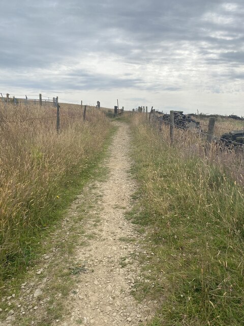
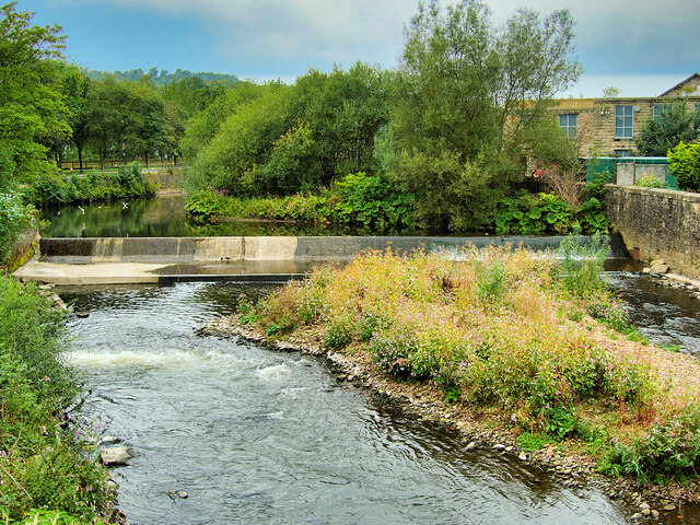
Nature enthusiasts will find plenty to explore in and around Fletcher Bank. The village is surrounded by beautiful countryside, providing ample opportunities for walking, hiking, and cycling. The nearby Rossendale Forest Park offers a wealth of outdoor activities, including mountain biking trails, orienteering courses, and picnic spots.
In conclusion, Fletcher Bank is a charming village nestled in the heart of Lancashire's countryside. Its tranquil setting, close-knit community, and easy access to nearby towns and cities make it an ideal place for those seeking a peaceful rural lifestyle.
If you have any feedback on the listing, please let us know in the comments section below.
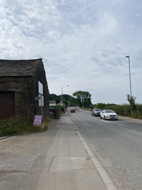
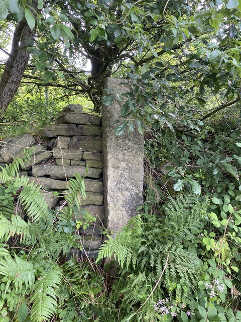
Fletcher Bank Images
Images are sourced within 2km of 53.646855/-2.307817 or Grid Reference SD7916. Thanks to Geograph Open Source API. All images are credited.


Fletcher Bank is located at Grid Ref: SD7916 (Lat: 53.646855, Lng: -2.307817)
Unitary Authority: Bury
Police Authority: Greater Manchester
What 3 Words
///flaked.asks.saturate. Near Ramsbottom, Manchester
Nearby Locations
Related Wikis

Ramsbottom United F.C.
Ramsbottom United Football Club are an English football club based in Ramsbottom, Greater Manchester. Nicknamed "The Rams", they currently compete in the...
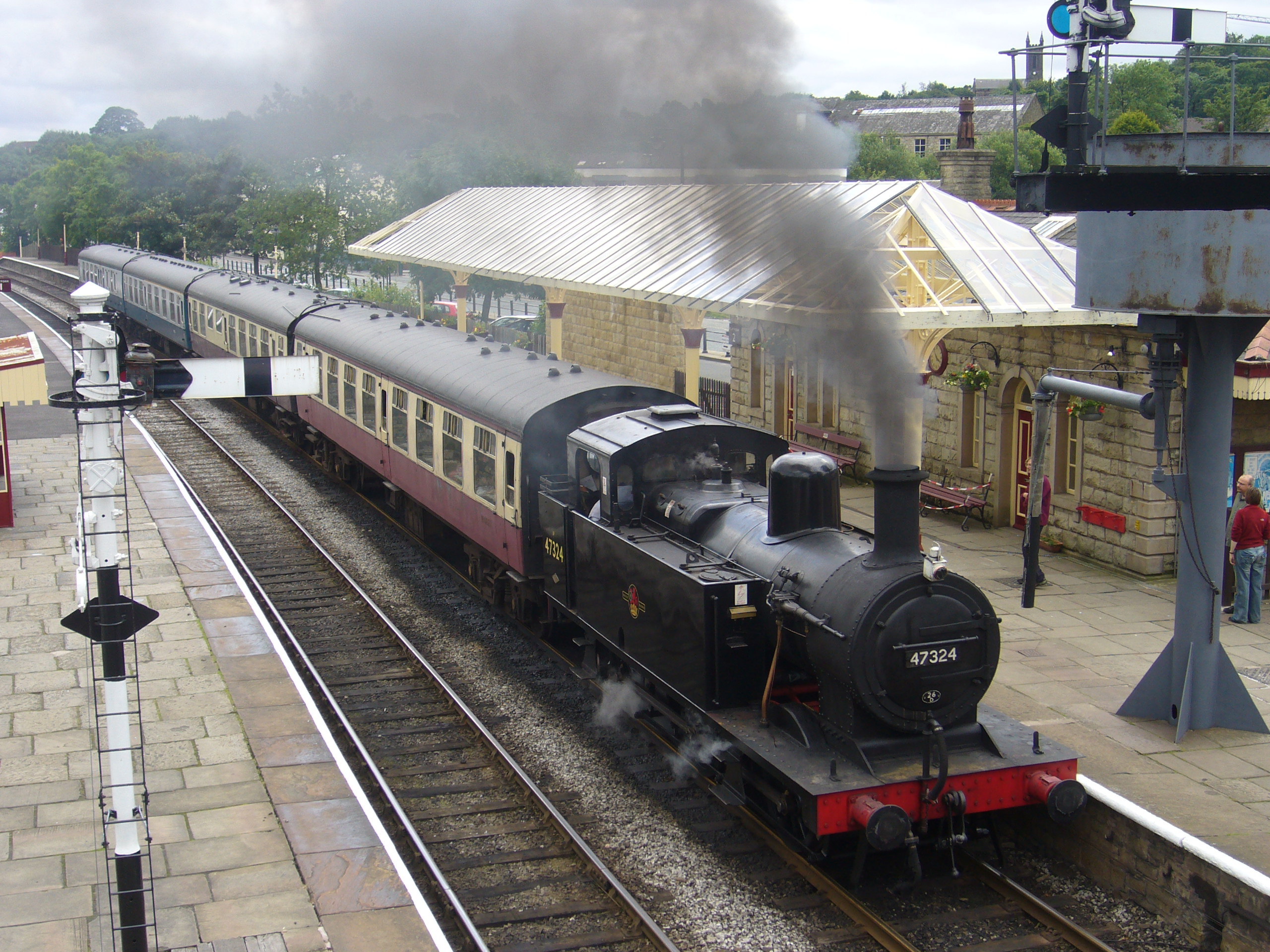
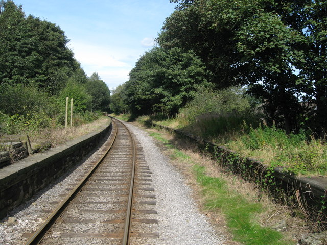
Ramsbottom railway station
Ramsbottom railway station is a heritage station serving the town of Ramsbottom in Greater Manchester, England. == History == The station was built by...

Ramsbottom
Ramsbottom is a market town in the Metropolitan Borough of Bury, Greater Manchester, England. The population at the 2011 census was 17,872.Historically...
Holcombe, Greater Manchester
Holcombe is a village in Ramsbottom ward, Metropolitan Borough of Bury, in Greater Manchester, England. It is situated south of Haslingden, east of Edgworth...

Shuttleworth, Greater Manchester
Shuttleworth is a hamlet at the northeastern extremity of the Metropolitan Borough of Bury, in Greater Manchester, England. It lies amongst the South Pennines...

Stubbins
Stubbins is an industrial village in the southern part of the Rossendale Valley, Lancashire, England. It is half a mile north of Ramsbottom town centre...
Stubbins railway station
Stubbins railway station served the village of Stubbins, Rossendale, Lancashire, England. Opened by the East Lancashire Railway in 1847 on their line...

Irwell Valley
The Irwell Valley in North West England extends from the Forest of Rossendale through the cities of Salford and Manchester. The River Irwell runs through...
Nearby Amenities
Located within 500m of 53.646855,-2.307817Have you been to Fletcher Bank?
Leave your review of Fletcher Bank below (or comments, questions and feedback).