Oakhill

Settlement in Buckinghamshire

England

Oakhill

The Old Beams Looking from the car park to the Old Beams Restaurant, the entrance of which is to the left of the white building.
The Old Beams Credit: Malcolm Neal

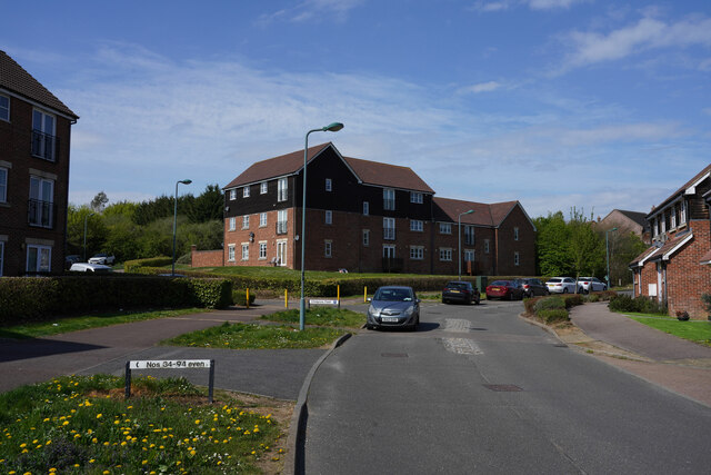
Oakhill is a small village located in Buckinghamshire, England. Situated in the Aylesbury Vale district, it is approximately 3 miles southeast of Milton Keynes and 10 miles northwest of Aylesbury. With its picturesque countryside setting, Oakhill offers residents and visitors a tranquil and peaceful environment.

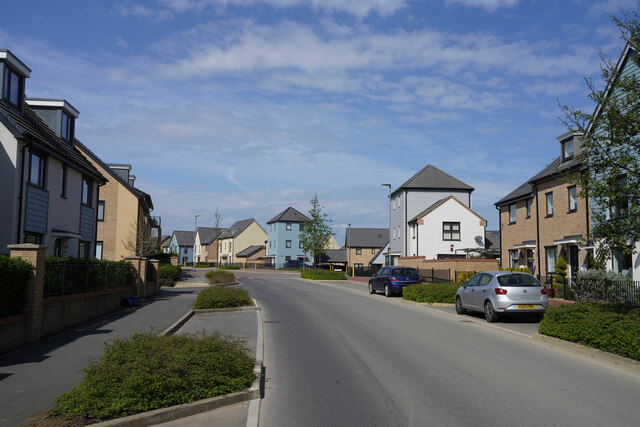
The village is known for its charming, traditional architecture, with many homes dating back to the 17th century. Oakhill is primarily a residential area, with a close-knit community that takes pride in preserving its historical character. The village boasts a variety of housing options, including cottages, detached houses, and converted barns.

Despite its small size, Oakhill offers some essential amenities for its residents. These include a primary school, a church, and a village hall that hosts various community events. There are also several parks and green spaces nearby, providing opportunities for outdoor activities and relaxation.

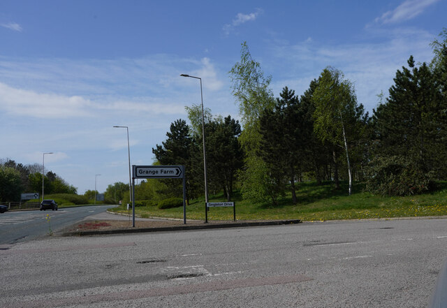
Oakhill's location provides easy access to nearby towns and cities. Milton Keynes, with its extensive shopping and entertainment facilities, is just a short drive away. Additionally, the village benefits from excellent transport links, with the A421 road passing through, connecting Oakhill to the wider region.

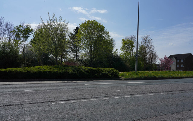
For nature enthusiasts, Oakhill is surrounded by beautiful countryside, offering opportunities for walking, cycling, and exploring the nearby Ouse Valley Park. The village is also within close proximity to the renowned Woburn Abbey and Safari Park, providing a popular attraction for both locals and visitors.

Overall, Oakhill is a charming village that offers a peaceful and idyllic lifestyle, while still being conveniently located near larger towns and cities.

If you have any feedback on the listing, please let us know in the comments section below.
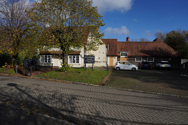
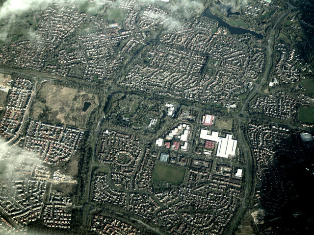
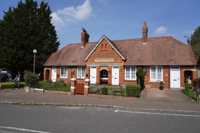
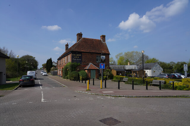
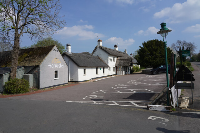
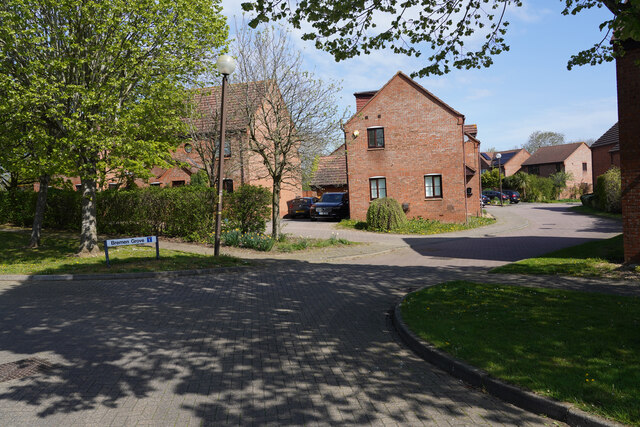
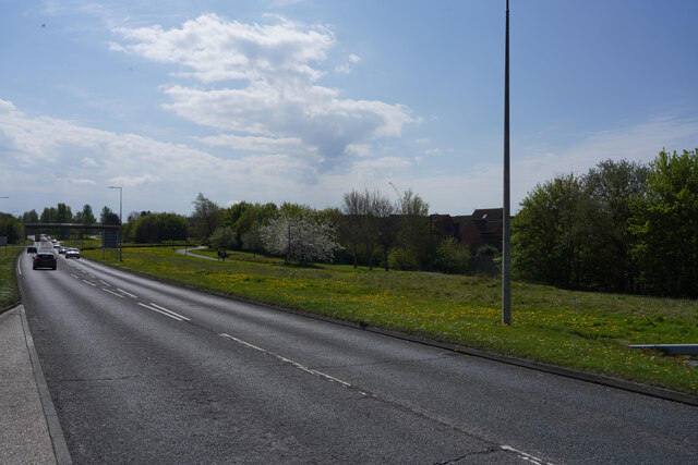
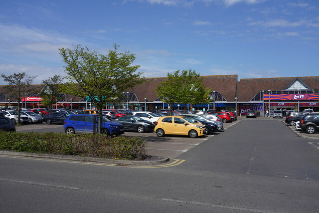
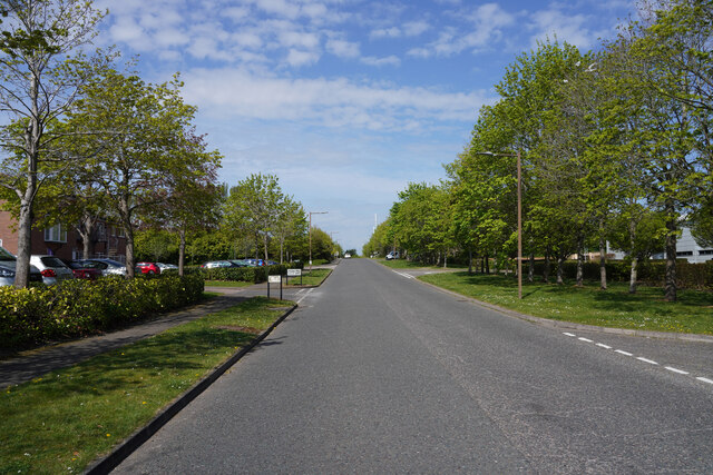
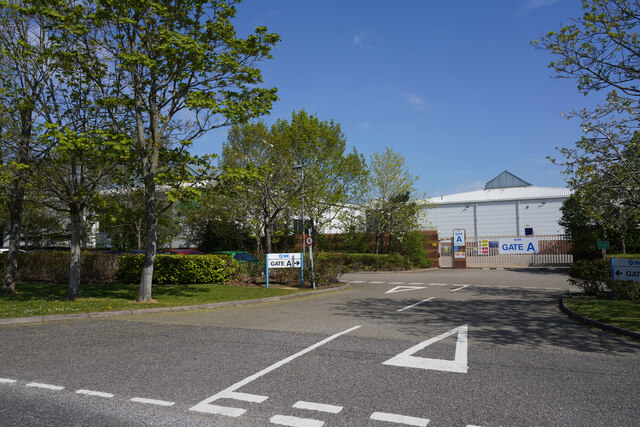
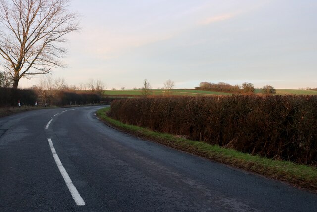
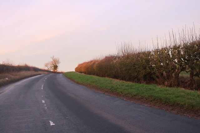
Oakhill Images

Images are sourced within 2km of 52.016873/-0.80767214 or Grid Reference SP8136. Thanks to Geograph Open Source API. All images are credited.

The Old Beams Looking from the car park to the Old Beams Restaurant, the entrance of which is to the left of the white building.
The Old Beams
Looking from the car park to the Old Beams Restaurant, the entrance of which is to the left of the white building.
Milton Keynes from the air Looking down on the Crownhill area of the town from a Birmingham bound flight from Prague.
Milton Keynes from the air
Looking down on the Crownhill area of the town from a Birmingham bound flight from Prague.
Memorial Cottages The cottages have a date of 1897 above the door. They were built to commemorate the 60th jubilee of Queen Victoria's time on the throne.
Memorial Cottages
The cottages have a date of 1897 above the door. They were built to commemorate the 60th jubilee of Queen Victoria's time on the throne.
The Talbot Arms This is a fairly large public house with what appears to be a lot of space around it.
The Talbot Arms
This is a fairly large public house with what appears to be a lot of space around it.
Sainsbury's Supermarket A fairly modern building which for modern standards is quite a small supermarket. It was, however, very busy.
Sainsbury's Supermarket
A fairly modern building which for modern standards is quite a small supermarket. It was, however, very busy.
The Fountain The Fountain is, at least from the outside, an elegant public house which unusually has a thatched roof.
The Fountain
The Fountain is, at least from the outside, an elegant public house which unusually has a thatched roof.
Bremen Grove A cul-de-sac of modern houses in Shenley Brook End, another of the Milton Keynes suburbs.
Bremen Grove
A cul-de-sac of modern houses in Shenley Brook End, another of the Milton Keynes suburbs.
Tattenhoe Street This is V2 Tattenhoe Street. The main roads in Milton Keynes seem to have a prefix H or V followed by a single digit.
Tattenhoe Street
This is V2 Tattenhoe Street. The main roads in Milton Keynes seem to have a prefix H or V followed by a single digit.
The district centre This suburban shopping centre is rather larger than that shown in <a href="https://www.geograph.org.uk/photo/7151496">SP8537 : Looking at Lidl</a> submitted earlier today.
The district centre
This suburban shopping centre is rather larger than that shown in SP8537 : Looking at Lidl submitted earlier today.
Otterburn Crescent These three storey buildings all look as though they are blocks of flats. They seem just too large for single houses!
Otterburn Crescent
These three storey buildings all look as though they are blocks of flats. They seem just too large for single houses!
Looking across H5 Portway Waiting at a road junction of Singleton Drive and H5 Portway.
Looking across H5 Portway
Waiting at a road junction of Singleton Drive and H5 Portway.
H5 Portway At the junction with Singleton Drive looking along H5 Portway.
H5 Portway
At the junction with Singleton Drive looking along H5 Portway.
A good mix of housing styles This suburb is at present on the very edge of Milton Keynes and is presumably one of the newest suburbs.
A good mix of housing styles
This suburb is at present on the very edge of Milton Keynes and is presumably one of the newest suburbs.
Presley Way Looking north west along Presley Way.
Presley Way
Looking north west along Presley Way.
Gate A Gate A of the factory SMC Pneumatics.
Gate A
Gate A of the factory SMC Pneumatics.
Trevithick Lane In dappled light we walk to the Old Barn for lunch.
Trevithick Lane
In dappled light we walk to the Old Barn for lunch.
Stratford Road north of Whaddon
Show me another place!

Oakhill is located at Grid Ref: SP8136 (Lat: 52.016873, Lng: -0.80767214)

Unitary Authority: Milton Keynes

Police Authority: Thames Valley

What 3 Words

///slicing.fidelity.captive. Near Shenley Church End, Buckinghamshire

Related Wikis

The Hazeley Academy

The Hazeley Academy is an age 11 to 19 secondary school with sixth form in Hazeley on the western edge of Milton Keynes, United Kingdom. == History... ==

Shenley, Milton Keynes

Shenley is an area of Buckinghamshire consisting of the villages and areas Shenley Brook End, Shenley Church End, Shenley Dens, Shenley Grounds, Shenley...

Oxley Woods

Oxley Woods is a housing development in Oxley Park, a district of Milton Keynes, Buckinghamshire, England. The development was designed by Rogers Stirk...

Oxley Mead

Oxley Mead is a 3.7 hectares (9.1 acres) biological Site of Special Scientific Interest in the Oxley Park district of Shenley Church End in Milton Keynes...

Nearby Amenities

Located within 500m of 52.016873,-0.80767214
Medbourne
Is In: Milton Keynes, Buckinghamshire, England, UK
Place: suburb
Lat/Long: 52.0185525/-0.8046761
Tourism: picnic_site
Lat/Long: 52.0174548/-0.8027756
Turning Circle
Turning Circle: hammer
Lat/Long: 52.0162129/-0.8058492
Turning Circle
Turning Circle: square
Lat/Long: 52.0211217/-0.8100777
Turning Circle
Turning Circle: square
Lat/Long: 52.0169801/-0.8090661
Prison
Oakhill Secure Training Centre
Addr City: Milton Keynes
Addr Postcode: MK5 6AJ
Addr Street: Chalgrove Field
Lat/Long: 52.015395/-0.8114851
Service: driveway
Lat/Long: 52.015542/-0.8076293
Oakhill
Is In: Milton Keynes, Buckinghamshire, England, UK
Place: suburb
Lat/Long: 52.0166855/-0.810769
Bus Stop
Medbourne Roundabout West
Bus: yes
Naptan AtcoCode: 049001465790
Naptan Bearing: SW
Naptan CommonName: Medbourne Roundabout West
Naptan Indicator: Westbound
Naptan Landmark: Singleton Drive
Naptan NaptanCode: mltadg
Naptan Street: Portway
Naptan Verified: no
Public Transport: platform
Shelter: no
Source: naptan_import
Lat/Long: 52.0206053/-0.8055742
Bus Stop
Hazeley School
Bus: yes
Naptan AtcoCode: 049001465850
Naptan Bearing: S
Naptan CommonName: Hazeley School
Naptan Indicator: o/s
Naptan Landmark: Hazeley School
Naptan NaptanCode: mltadj
Naptan Street: Portway H5
Naptan Verified: no
Public Transport: platform
Source: naptan_import
Lat/Long: 52.0187806/-0.8118602
Bus Stop
HMP Woodhill
Bus: yes
Naptan AtcoCode: 049001945788
Naptan Bearing: SE
Naptan CommonName: HMP Woodhill
Naptan Indicator: opp
Naptan Landmark: Woodhill Prison
Naptan NaptanCode: mltadt
Naptan Street: Tattenhoe Street
Naptan Verified: no
Public Transport: platform
Shelter: yes
Source: naptan_import
Lat/Long: 52.0156752/-0.8066229
Bus Stop
HMP Woodhill
Bus: yes
Naptan AtcoCode: 049001945861
Naptan Bearing: NW
Naptan CommonName: HMP Woodhill
Naptan Indicator: o/s
Naptan Landmark: Woodhill Prison
Naptan NaptanCode: mltadp
Naptan Street: Tattenhoe Street
Naptan Verified: no
Public Transport: platform
Shelter: yes
Source: naptan_import
Lat/Long: 52.0156625/-0.8067712
Post Box
Brand: Royal Mail
Brand Wikidata: Q638098
Brand Wikipedia: en:Royal Mail
Collection Times: Mo-Fr 17:30; Sa 12:00
Operator: Royal Mail
Operator Wikidata: Q638098
Post Box Type: lamp
Ref: MK5 579
Royal Cypher: EIIR
Royal Cypher Wikidata: Q33102113
Source: survey
Lat/Long: 52.0169878/-0.8100523
Wedding Photography by Nigel Edgecombe
Addr City: Milton Keynes
Addr Housenumber: 86
Addr Postcode: MK5 6FP
Addr Street: Kirkwood Grove
Craft: photographer
Phone: +44 1908 749105
Website: https://www.nigeledge.com/
Lat/Long: 52.0192033/-0.8072078
Barrier: stile
Foot: yes
Material: wood
Lat/Long: 52.0176043/-0.8148388
Crossing
Lat/Long: 52.01961/-0.8027083
Crossing
Lat/Long: 52.015318/-0.8043959
Crossing
Lat/Long: 52.0178194/-0.8048959
Bench
Lat/Long: 52.015606/-0.8009387
Bench
Lat/Long: 52.0148988/-0.8018998
Bench
Lat/Long: 52.0155594/-0.8015296
Traffic Calming: table
Lat/Long: 52.0194704/-0.8055625
Kindergarten
Mini Monsters Preschool
Addr City: Milton Keynes
Addr Country: GB
Addr Housenumber: 31
Addr Postcode: MK5 6LS
Addr Street: Pascal Drive
Addr Suburb: Medbourne
Fhrs Authority: Milton Keynes
Fhrs Id: 137757
Fhrs Local Authority Id: 72799
Lat/Long: 52.0189688/-0.8027369
Direction: 195
Generator Method: photovoltaic
Generator Output Electricity: yes
Generator Solar Modules: 30
Generator Source: solar
Generator Type: solar_photovoltaic_panel
Location: roof
Power: generator
Lat/Long: 52.0212056/-0.8084705
Direction: 145
Generator Method: photovoltaic
Generator Output Electricity: yes
Generator Solar Modules: 79
Generator Source: solar
Generator Type: solar_photovoltaic_panel
Location: roof
Power: generator
Tilt: 20
Lat/Long: 52.0210665/-0.8078967
Direction: 185
Generator Method: photovoltaic
Generator Output Electricity: yes
Generator Solar Modules: 16
Generator Source: solar
Generator Type: solar_photovoltaic_panel
Location: roof
Power: generator
Lat/Long: 52.0151181/-0.8040306
Direction: 255
Generator Method: photovoltaic
Generator Output Electricity: yes
Generator Solar Modules: 11
Generator Source: solar
Generator Type: solar_photovoltaic_panel
Location: roof
Power: generator
Lat/Long: 52.0156751/-0.8040669
Direction: 75
Generator Method: photovoltaic
Generator Output Electricity: yes
Generator Solar Modules: 6
Generator Source: solar
Generator Type: solar_photovoltaic_panel
Location: roof
Power: generator
Lat/Long: 52.0156978/-0.8040123
Direction: 205
Generator Method: photovoltaic
Generator Output Electricity: yes
Generator Solar Modules: 8
Generator Source: solar
Generator Type: solar_photovoltaic_panel
Location: roof
Power: generator
Lat/Long: 52.0177688/-0.8050715
Direction: 115
Generator Method: photovoltaic
Generator Output Electricity: yes
Generator Solar Modules: 8
Generator Source: solar
Generator Type: solar_photovoltaic_panel
Location: roof
Power: generator
Lat/Long: 52.0177542/-0.8051415
Direction: 205
Generator Method: photovoltaic
Generator Output Electricity: yes
Generator Solar Modules: 8
Generator Source: solar
Generator Type: solar_photovoltaic_panel
Location: roof
Power: generator
Lat/Long: 52.0178499/-0.8054601
Direction: 115
Generator Method: photovoltaic
Generator Output Electricity: yes
Generator Solar Modules: 8
Generator Source: solar
Generator Type: solar_photovoltaic_panel
Location: roof
Power: generator
Lat/Long: 52.0178805/-0.805387
Direction: 230
Generator Method: photovoltaic
Generator Output Electricity: yes
Generator Solar Modules: 8
Generator Source: solar
Generator Type: solar_photovoltaic_panel
Location: roof
Power: generator
Lat/Long: 52.0187537/-0.8062396
Direction: 140
Generator Method: photovoltaic
Generator Output Electricity: yes
Generator Solar Modules: 7
Generator Source: solar
Generator Type: solar_photovoltaic_panel
Location: roof
Power: generator
Lat/Long: 52.0187599/-0.8063142
Turning Circle
Turning Circle: hammer
Lat/Long: 52.0183085/-0.8099815
Fixme: solar panels? or skylights
Lat/Long: 52.0207054/-0.8039994
Direction: 150
Generator Method: photovoltaic
Generator Output Electricity: yes
Generator Solar Modules: 6
Generator Source: solar
Generator Type: solar_photovoltaic_panel
Location: roof
Power: generator
Lat/Long: 52.0180267/-0.8108035
Direction: 330
Generator Method: photovoltaic
Generator Output Electricity: yes
Generator Solar Modules: 8
Generator Source: solar
Generator Type: solar_photovoltaic_panel
Location: roof
Power: generator
Lat/Long: 52.0180472/-0.8108204
Direction: 240
Generator Method: photovoltaic
Generator Output Electricity: yes
Generator Solar Modules: 16
Generator Source: solar
Generator Type: solar_photovoltaic_panel
Location: roof
Power: generator
Lat/Long: 52.017657/-0.8090964
Direction: 150
Generator Method: photovoltaic
Generator Output Electricity: yes
Generator Solar Modules: 16
Generator Source: solar
Generator Type: solar_photovoltaic_panel
Location: roof
Power: generator
Lat/Long: 52.0169003/-0.8115799
Crossing
Lat/Long: 52.0166272/-0.8082563
Direction: 185
Generator Method: photovoltaic
Generator Output Electricity: yes
Generator Solar Modules: 108
Generator Source: solar
Generator Type: solar_photovoltaic_panel
Location: roof
Power: generator
Lat/Long: 52.0189264/-0.8122285
Direction: 95
Generator Method: photovoltaic
Generator Output Electricity: yes
Generator Solar Modules: 266
Generator Source: solar
Generator Type: solar_photovoltaic_panel
Location: roof
Power: generator
Lat/Long: 52.0194864/-0.8115825
Direction: 275
Generator Method: photovoltaic
Generator Output Electricity: yes
Generator Solar Modules: 266
Generator Source: solar
Generator Type: solar_photovoltaic_panel
Location: roof
Power: generator
Lat/Long: 52.0194868/-0.8116029
The data included in this document is from www.openstreetmap.org. The data is made available under ODbL.

Have you been to Oakhill?

Leave your review of Oakhill below (or comments, questions and feedback).