Hazeley
Settlement in Buckinghamshire
England
Hazeley
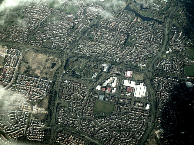
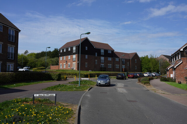
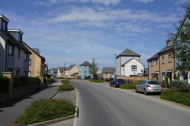
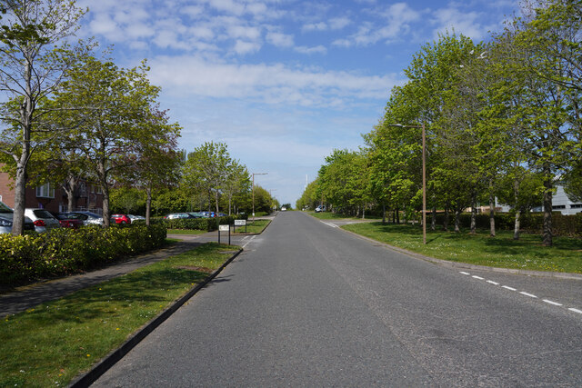
Hazeley is a small village located in the county of Buckinghamshire, England. Situated approximately 5 miles to the northwest of the town of Milton Keynes, Hazeley is known for its picturesque countryside, charming rural atmosphere, and close proximity to various amenities.
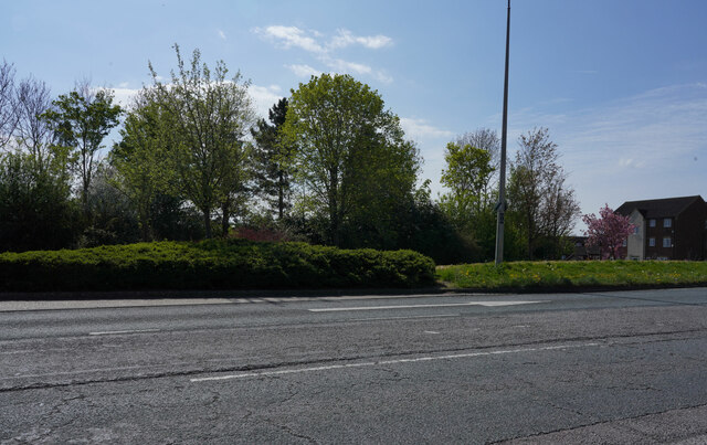
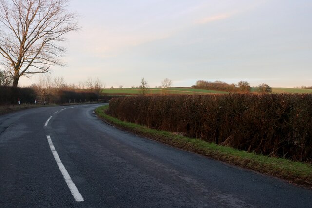
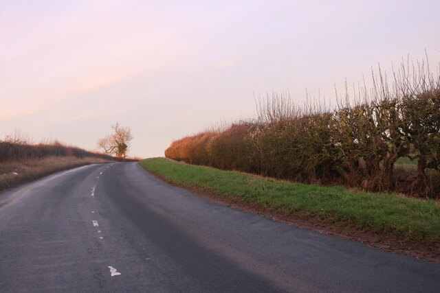
The village is surrounded by beautiful rolling hills, sprawling fields, and pockets of woodland, making it an ideal location for nature lovers and outdoor enthusiasts. Hazeley is home to several walking trails and footpaths, allowing residents and visitors to explore the stunning surrounding countryside.
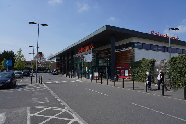
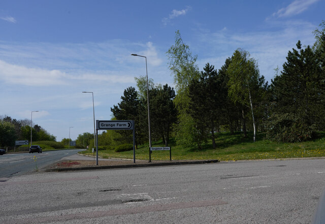
Despite its tranquil setting, Hazeley benefits from its proximity to Milton Keynes, which offers a wide range of amenities and services. Residents of the village can enjoy easy access to shopping centers, restaurants, entertainment venues, and excellent educational facilities.
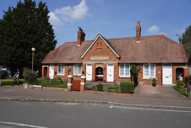
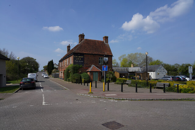
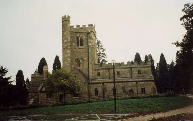
The village itself is relatively small, with a tight-knit community that prides itself on its friendly and welcoming atmosphere. Hazeley is home to a number of historic buildings and landmarks, including the Grade II listed Hazeley House, which dates back to the early 19th century.
Overall, Hazeley offers a peaceful and idyllic setting for those seeking a rural lifestyle combined with access to modern amenities. With its natural beauty, strong community spirit, and convenient location, Hazeley is a desirable place to live for individuals and families alike.
If you have any feedback on the listing, please let us know in the comments section below.
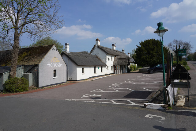
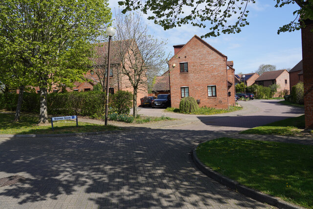
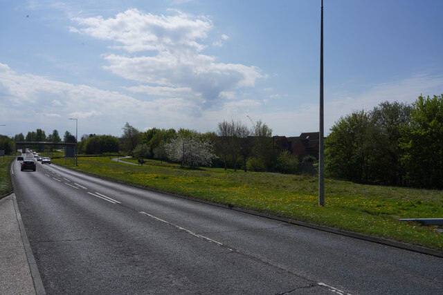
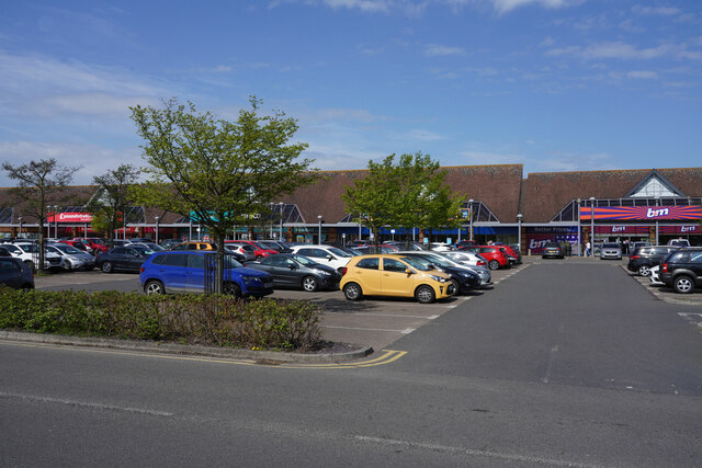
Hazeley Images
Images are sourced within 2km of 52.019336/-0.80934088 or Grid Reference SP8136. Thanks to Geograph Open Source API. All images are credited.
Hazeley is located at Grid Ref: SP8136 (Lat: 52.019336, Lng: -0.80934088)
Unitary Authority: Milton Keynes
Police Authority: Thames Valley
What 3 Words
///trees.conga.signs. Near Shenley Church End, Buckinghamshire
Nearby Locations
Related Wikis

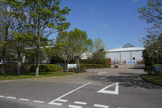
The Hazeley Academy
The Hazeley Academy is an age 11 to 19 secondary school with sixth form in Hazeley on the western edge of Milton Keynes, United Kingdom. == History... ==
Shenley, Milton Keynes
Shenley is an area of Buckinghamshire consisting of the villages and areas Shenley Brook End, Shenley Church End, Shenley Dens, Shenley Grounds, Shenley...

Oxley Woods
Oxley Woods is a housing development in Oxley Park, a district of Milton Keynes, Buckinghamshire, England. The development was designed by Rogers Stirk...
Heart 103.3
Heart Milton Keynes (formerly Horizon Radio) was an Independent Local Radio station for Milton Keynes and North Buckinghamshire. Broadcasting on 103.3FM...
Nearby Amenities
Located within 500m of 52.019336,-0.80934088Have you been to Hazeley?
Leave your review of Hazeley below (or comments, questions and feedback).