Hayscastle Cross

Settlement in Pembrokeshire

Wales

Hayscastle Cross

Plubstone Rock
Plubstone Rock Credit: David Lally

Hayscastle Cross is a small village located in the county of Pembrokeshire, Wales. Situated in the southwestern part of the country, the village lies approximately 5 miles northeast of the town of Haverfordwest.

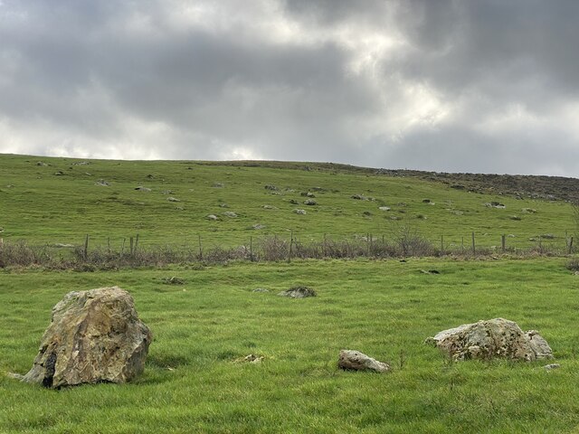
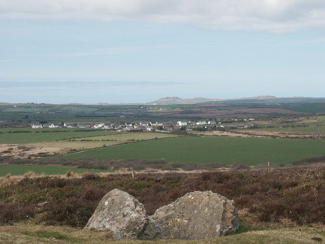
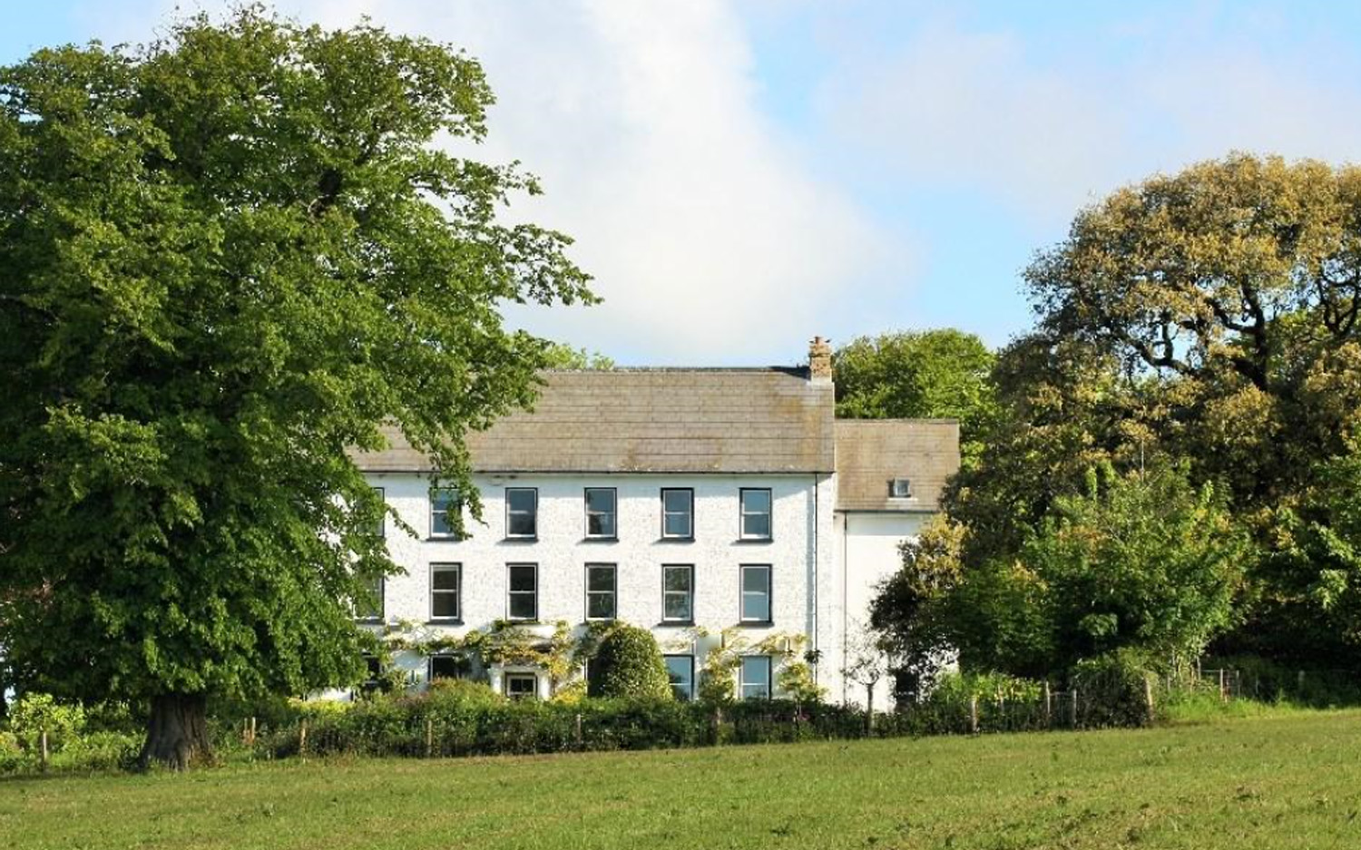
With a population of around 200 residents, Hayscastle Cross is a close-knit community known for its scenic surroundings and peaceful atmosphere. The village is nestled amidst rolling hills and picturesque countryside, offering stunning views of the Welsh landscape.

Hayscastle Cross is primarily a residential area with a handful of local amenities, including a village hall and a small convenience store catering to the needs of the residents. The village is surrounded by farmland, contributing to its rural charm and agricultural character.

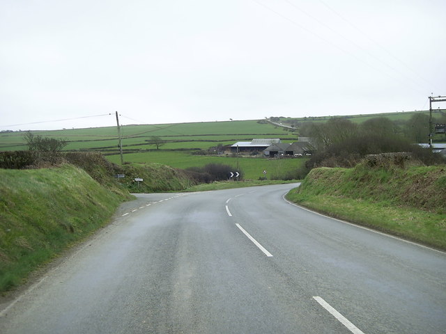
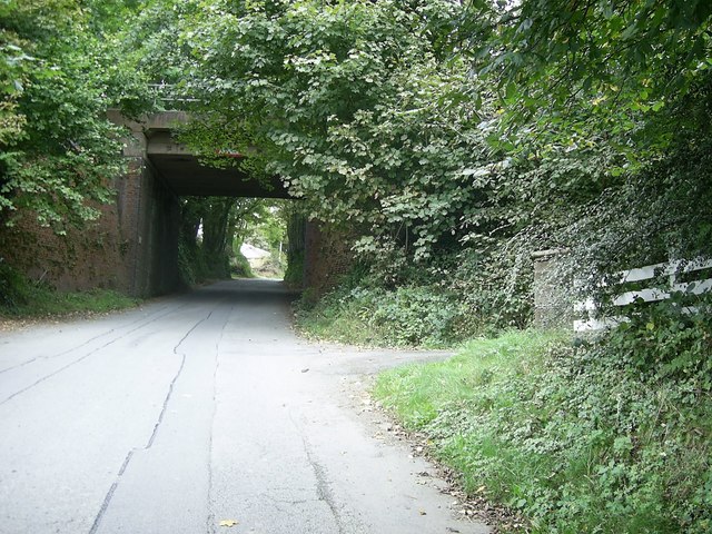
The village is well-connected to the wider region through road links, with the A487 passing nearby, providing easy access to neighboring towns and cities. Hayscastle Cross also benefits from a regular bus service, enabling residents to travel to nearby areas for work or leisure.

The area surrounding Hayscastle Cross boasts several attractions and natural landmarks, including the nearby Pembrokeshire Coast National Park, renowned for its stunning coastline and scenic walks. Outdoor enthusiasts can enjoy a range of activities, such as hiking, cycling, and birdwatching, in this beautiful part of Wales.

Overall, Hayscastle Cross offers a tranquil and idyllic setting for those seeking a rural lifestyle, while still providing convenient access to amenities and attractions in the wider Pembrokeshire region.

If you have any feedback on the listing, please let us know in the comments section below.

Hayscastle Cross Images

Images are sourced within 2km of 51.884965/-5.0326717 or Grid Reference SM9125. Thanks to Geograph Open Source API. All images are credited.

Plubstone Rock
Plubstone Rock
Rock-strewn hillside A large number of builders litter the hillside, presumably deposited at the end of the last ice age.
Rock-strewn hillside
A large number of builders litter the hillside, presumably deposited at the end of the last ice age.
Heavily poached bridleway
Plumstone Rock One of several tor-like outcrops of rhyolite along the ridge at Roth Castle.
Plumstone Rock
One of several tor-like outcrops of rhyolite along the ridge at Roth Castle.
Pennywort - Umbilicus rupestris Edible, apparently - although I wasn’t tempted!  This cluster was nestling in a corner of Plumstone Rock, alongside some sage-green lichen,
Pennywort - Umbilicus rupestris
Edible, apparently - although I wasn’t tempted! This cluster was nestling in a corner of Plumstone Rock, alongside some sage-green lichen,
Jagged rhyolite - Plumstone Rock Rhyolite is the most silica-rich of volcanic rocks.
Jagged rhyolite - Plumstone Rock
Rhyolite is the most silica-rich of volcanic rocks.
Tumulus near Plumstone Rock Between Plumstone Rock and Dudwell Mountain.
Tumulus near Plumstone Rock
Between Plumstone Rock and Dudwell Mountain.
Heather-covered tumulus Adjacent to Plumstone Rock.
Heather-covered tumulus
Adjacent to Plumstone Rock.
Access to Plumstone Reservoirs
Field access track near Brimaston This old droveway or green lane is used to access corn and barley fields on the broad ridge ahead.
Field access track near Brimaston
This old droveway or green lane is used to access corn and barley fields on the broad ridge ahead.
Approach to Hayscastle Cross Approaching Hayscastle Cross on the B4330.
Approach to Hayscastle Cross
Approaching Hayscastle Cross on the B4330.
Road junction near Mountain Water The road from Brimaston joins the B4330 near Mountain Water.
Road junction near Mountain Water
The road from Brimaston joins the B4330 near Mountain Water.
Crossroads near Hayscastle Cross A rural crossroads close to 'Hayscastle Tump' and Brynamlwg..
Crossroads near Hayscastle Cross
A rural crossroads close to 'Hayscastle Tump' and Brynamlwg..
Barns near Hayscastle Tump Looking north from the road to Hayscastle Cross.
Barns near Hayscastle Tump
Looking north from the road to Hayscastle Cross.
Barns at Newhouse, Pont-yr-Hafod
Three miles from anywhere The crossroads beside Hayscastle Tump, looking north towards Hayscastle.
Three miles from anywhere
The crossroads beside Hayscastle Tump, looking north towards Hayscastle.
View east from Plumstone Mountain Looking towards the covered reservoir and access track from the Camrose to Hayscastle Cross road.
View east from Plumstone Mountain
Looking towards the covered reservoir and access track from the Camrose to Hayscastle Cross road.
Plumstone Rock from the north
Show me another place!

Hayscastle Cross is located at Grid Ref: SM9125 (Lat: 51.884965, Lng: -5.0326717)

Unitary Authority: Pembrokeshire

Police Authority: Dyfed Powys

What 3 Words

///distilled.clocks.jolt. Near Camrose, Pembrokeshire

Related Wikis

Hayscastle

Hayscastle or Hays-Castle (Welsh: Cas-lai) is a village, parish and community of Pembrokeshire in West Wales, 7½ miles (N. W. by N.) from Haverfordwest...

Welsh Hook Halt railway station

Welsh Hook Halt railway station served the hamlet of Welsh Hook, Pembrokeshire, Wales, from 1924 to 1964 on the Clarbeston Road and Letterston Railway...

Treffgarne Hall

Treffgarne Hall is a privately owned Grade II listed Georgian country house, located to the west of the village of Treffgarne, West Wales. It was built...

Cuffern Manor, Pembrokeshire

Cuffern Manor in Roch, Pembrokeshire is a house of historical significance and is listed on the Wales Heritage Register. It was built in 1770 by John Rees...

Nearby Amenities

Located within 500m of 51.884965,-5.0326717
Hayscastle Cross
Is In: Pembrokeshire,Wales,UK
Name Cy: Croes Castellhaidd
Name En: Hayscastle Cross
Place: village
Lat/Long: 51.8862135/-5.0341828
Bus Stop
Shelter: yes
Lat/Long: 51.8864974/-5.0343741
Post Box
Post Box Type: lamp
Lat/Long: 51.8862275/-5.0343714
Bench
Lat/Long: 51.8863672/-5.0342411
Turning Circle
Lat/Long: 51.8847237/-5.0319394
The data included in this document is from www.openstreetmap.org. The data is made available under ODbL.

Have you been to Hayscastle Cross?

Leave your review of Hayscastle Cross below (or comments, questions and feedback).