Oakford

Settlement in Devon North Devon

England

Oakford

Bampfylde Clump, at the top of Bampfylde Hill This clump of trees is said to have been a landmark for the local miners returning home after a night in the pubs of North Molton.
Bampfylde Clump, at the top of Bampfylde Hill Credit: Ivan Taylor

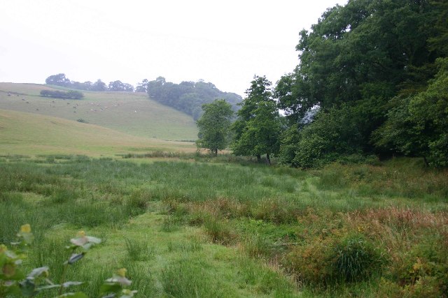
Oakford is a small village located in the county of Devon, England. Situated in the rolling hills of the Exe Valley, it is nestled amidst picturesque landscapes, making it a popular destination for nature lovers and hikers. The village lies approximately 12 miles to the north of Tiverton and is part of the local government district of Mid Devon.

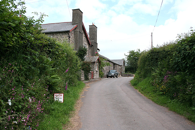
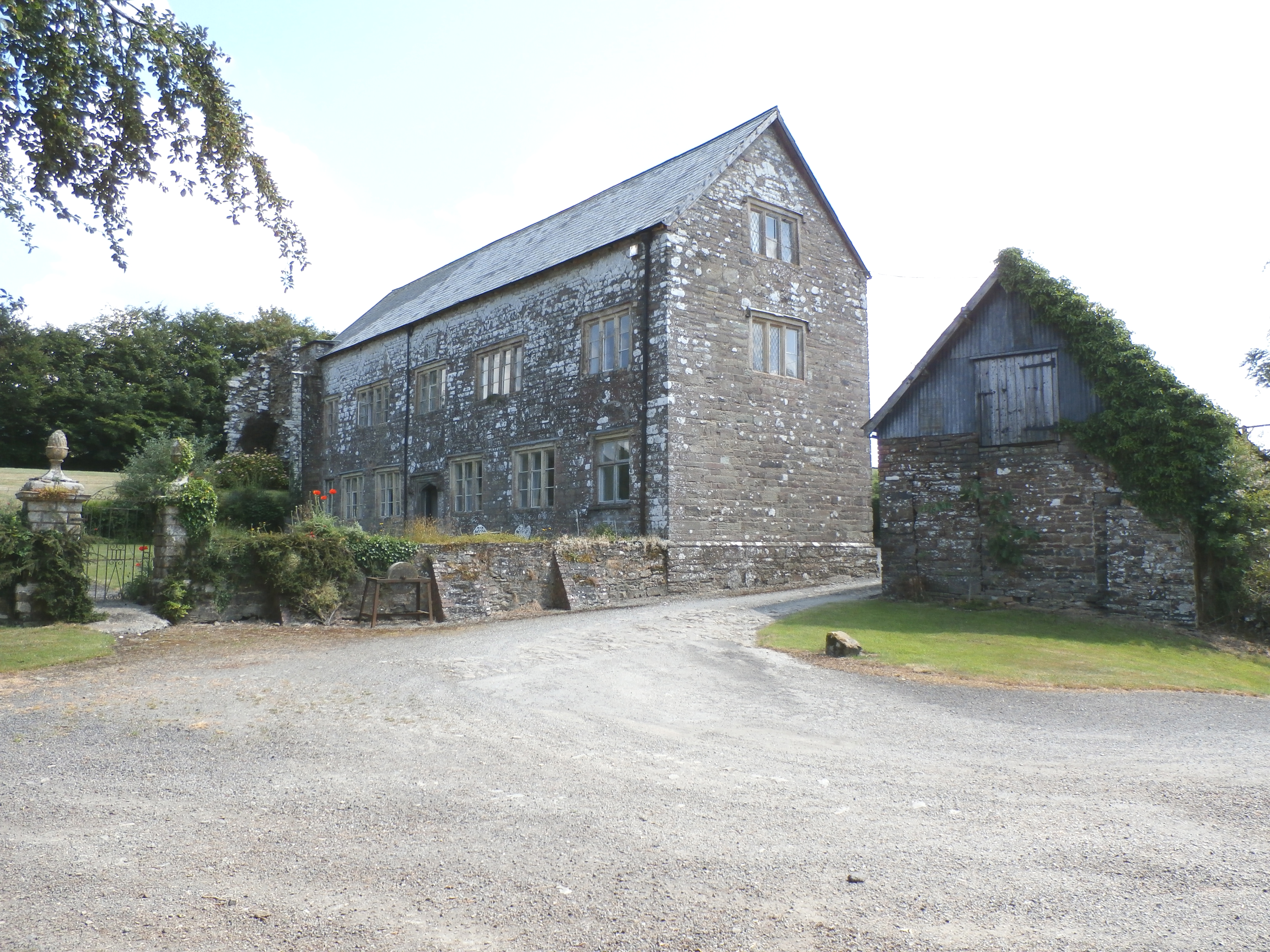
With a population of around 300 residents, Oakford exudes a tranquil and close-knit community atmosphere. Its rural setting offers a peaceful escape from the hustle and bustle of city life. The village is characterized by charming thatched cottages and historic buildings, showcasing its rich heritage.

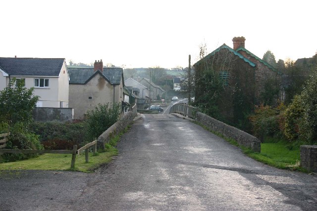
One of the notable landmarks in Oakford is the St. Peter's Church, a medieval structure built in the 13th century. The church boasts beautiful stained glass windows and intricate woodwork, attracting visitors interested in architectural history. Additionally, the surrounding countryside provides ample opportunities for outdoor activities such as walking, cycling, and horse riding. The scenic beauty of the area, including the Oakford Bridge over the River Exe, offers stunning vistas and photo opportunities.

Despite its small size, Oakford has a strong community spirit and holds various events throughout the year, including village fairs and gatherings at the local pub. The village also benefits from a primary school, ensuring educational facilities for the local children.

Overall, Oakford is a charming rural village, offering a peaceful retreat and a chance to experience the beauty of the Devon countryside.

If you have any feedback on the listing, please let us know in the comments section below.
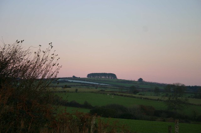
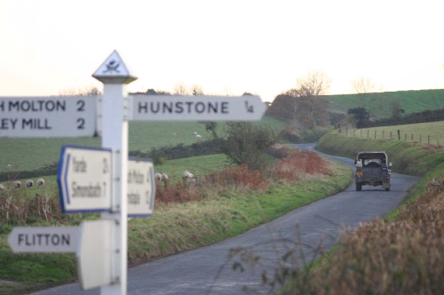
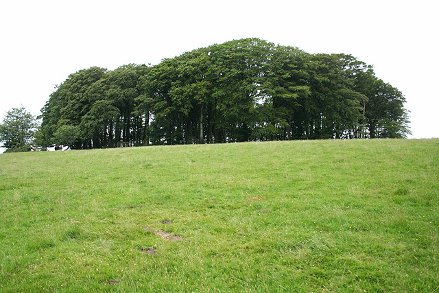
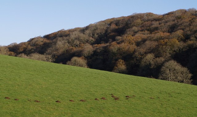
Oakford Images

Images are sourced within 2km of 51.054912/-3.8148679 or Grid Reference SS7229. Thanks to Geograph Open Source API. All images are credited.

Bampfylde Clump, at the top of Bampfylde Hill This clump of trees is said to have been a landmark for the local miners returning home after a night in the pubs of North Molton.
Bampfylde Clump, at the top of Bampfylde Hill
This clump of trees is said to have been a landmark for the local miners returning home after a night in the pubs of North Molton.
Steep Head
Steep Head
Along the edge of South Wood, near Heasley Mill
Harvest, Lower Barton The fields in the foreground and middle distance are on opposite sides of the valley, with Flitton Mill Wood hidden below. On the far hill baling is in progress in the evening sun.
Harvest, Lower Barton
The fields in the foreground and middle distance are on opposite sides of the valley, with Flitton Mill Wood hidden below. On the far hill baling is in progress in the evening sun.
Baling A telephoto view of the same scene as <a href="https://www.geograph.org.uk/photo/444550">SS7131 : Harvest, Lower Barton</a> showing machinery at work producing large bales.
Baling
A telephoto view of the same scene as SS7131 : Harvest, Lower Barton showing machinery at work producing large bales.
North Molton: Bampfylde Clump A circular plantation of beech trees on the nearest high point above North Molton village with views to all points of the compass. Access is by permissive footpath
North Molton: Bampfylde Clump
A circular plantation of beech trees on the nearest high point above North Molton village with views to all points of the compass. Access is by permissive footpath
North Molton: track to Bampfylde Clump Permissive path from the lane near Bampfylde Cross, looking east-north-east
North Molton: track to Bampfylde Clump
Permissive path from the lane near Bampfylde Cross, looking east-north-east
North Molton: by High Bullen Cross Looking west-south-west across the Mole valley towards the tower of North Molton church
North Molton: by High Bullen Cross
Looking west-south-west across the Mole valley towards the tower of North Molton church
North Molton: below Coombeshead Looking south-south-west towards a hilltop poultry farm
North Molton: below Coombeshead
Looking south-south-west towards a hilltop poultry farm
North Molton: above Coombeshead Looking east-south-east
North Molton: above Coombeshead
Looking east-south-east
North Molton: lane near Coombeshead Looking west
North Molton: lane near Coombeshead
Looking west
Venn Wood The wood lines the steep eastern slopes of this valley of a tributary of the River Mole. On the left is a corner of Flitton Wood, on the western slopes. Rushes line a small drain in the foreground, and an animal feeder is in the middle of the field. Seen from the lane between Northland Cross and Stonybridge.
Venn Wood
The wood lines the steep eastern slopes of this valley of a tributary of the River Mole. On the left is a corner of Flitton Wood, on the western slopes. Rushes line a small drain in the foreground, and an animal feeder is in the middle of the field. Seen from the lane between Northland Cross and Stonybridge.
Valley side at Oakford Looking up the valley from the lane between North Molton and Stonybridge just before Oakford. The valley drains into the River Mole.
Valley side at Oakford
Looking up the valley from the lane between North Molton and Stonybridge just before Oakford. The valley drains into the River Mole.
Molehills near Stony Bridge A line of molehills across the valley side, with Venn Wood in the background. Taken close to <a href="https://www.geograph.org.uk/photo/618503">SS7130 : Venn Wood</a>.
Molehills near Stony Bridge
A line of molehills across the valley side, with Venn Wood in the background. Taken close to SS7130 : Venn Wood.
Venn Wood Bare trees scattered along the stream catch the morning sun. This part of Venn Wood is a little south of the area shown in <a href="https://www.geograph.org.uk/photo/618503">SS7130 : Venn Wood</a>.
Venn Wood
Bare trees scattered along the stream catch the morning sun. This part of Venn Wood is a little south of the area shown in SS7130 : Venn Wood.
Stony Bridge west of North Molton Local beauty spot.
Stony Bridge west of North Molton
Local beauty spot.
Paddock overlooking the valley of the River Mole
Bridge at the eastern end of North Molton
Show me another place!

Oakford is located at Grid Ref: SS7229 (Lat: 51.054912, Lng: -3.8148679)

Administrative County: Devon

District: North Devon

Police Authority: Devon and Cornwall

What 3 Words

///rezoning.medium.owned. Near South Molton, Devon

Related Wikis

North Molton

North Molton is a village, parish and former manor in North Devon, England. The population of the parish in 2001 was 1,047, decreasing to 721 in the 2011...

South Radworthy

South Radworthy is a hamlet in the civil parish of North Molton, in the North Devon District of the county of Devon, England. It is about three miles to...

Whitechapel, Bishops Nympton

Whitechapel is an ancient former manor within the parish of Bishops Nympton, in north Devon. It was the earliest known residence of the locally influential...

Bremridge

Bremridge is a historic estate within the former hundred of South Molton in Devon, England. It is now within the parish of Filleigh but was formerly in...

South Molton

South Molton is a town and civil parish in Devon, England. It is part of the North Devon local government district. The town is on the River Mole. South...

South Molton Rural District

South Molton Rural District was a rural district in the administrative county of Devon, England, from 1894 to 1974, covering an area in the north of the...

Bentwitchen

Bentwitchen is a hamlet in Devon, England. == References ==

Bremridge Wood

Bremridge Wood formerly part of the Domesday Book estate of Bremridge near South Molton, Devon, England, is the site of an Iron Age enclosure or hill fort...

Nearby Amenities

Located within 500m of 51.054912,-3.8148679
Oakford Cross
Place: locality
Lat/Long: 51.0527134/-3.8107191
Generator Method: photovoltaic
Generator Output Electricity: yes
Generator Source: solar
Generator Type: solar_photovoltaic_panel
Location: roof
Power: generator
Lat/Long: 51.05384/-3.8088481
Generator Method: photovoltaic
Generator Output Electricity: yes
Generator Source: solar
Generator Type: solar_photovoltaic_panel
Location: ground
Power: generator
Lat/Long: 51.0555808/-3.8104481
The data included in this document is from www.openstreetmap.org. The data is made available under ODbL.

Have you been to Oakford?

Leave your review of Oakford below (or comments, questions and feedback).