Newtown of Rockcliffe

Settlement in Cumberland Carlisle

England

Newtown of Rockcliffe

Damaged culvert from ditch on north side of road east of Keysmount Ordnance Survey documents describe a benchmark levelled at 31.117m above Newlyn Datum verified in 1972 on a culvert at this location
Damaged culvert from ditch on north side of road east of Keysmount Credit: Roger Templeman

Newtown of Rockcliffe is a small village located in the county of Cumberland, England. Situated in the northern part of the county, it lies on the Solway Firth coast, offering picturesque views and a tranquil atmosphere. The village is part of the larger civil parish of Rockcliffe, which encompasses several other surrounding hamlets.

Known for its rich history, Newtown of Rockcliffe has evidence of settlements dating back to the Roman era. The area was once an important trading hub, benefiting from its proximity to the coast and the nearby River Eden. Today, remnants of this history can be seen in the form of ancient ruins and archaeological sites that dot the landscape.

The village itself is characterized by charming traditional English cottages and well-maintained gardens, adding to its idyllic appeal. It is home to a close-knit community that takes pride in preserving the area's natural beauty and heritage. Newtown of Rockcliffe benefits from a strong sense of community spirit, with local events and gatherings being organized throughout the year.

Nature enthusiasts are drawn to the area for its stunning coastal walks, where one can explore the rugged shoreline and observe a diverse range of bird species that inhabit the nearby nature reserve. Additionally, the village is within close proximity to the Lake District National Park, offering residents and visitors alike ample opportunities for outdoor activities such as hiking, cycling, and boating.

In summary, Newtown of Rockcliffe is a quaint village in Cumberland that boasts a rich history, stunning natural surroundings, and a welcoming community. It is a place where residents and visitors can immerse themselves in the beauty of the English countryside while enjoying a peaceful and picturesque lifestyle.

If you have any feedback on the listing, please let us know in the comments section below.

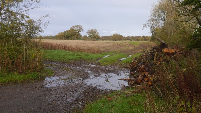
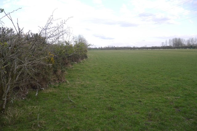
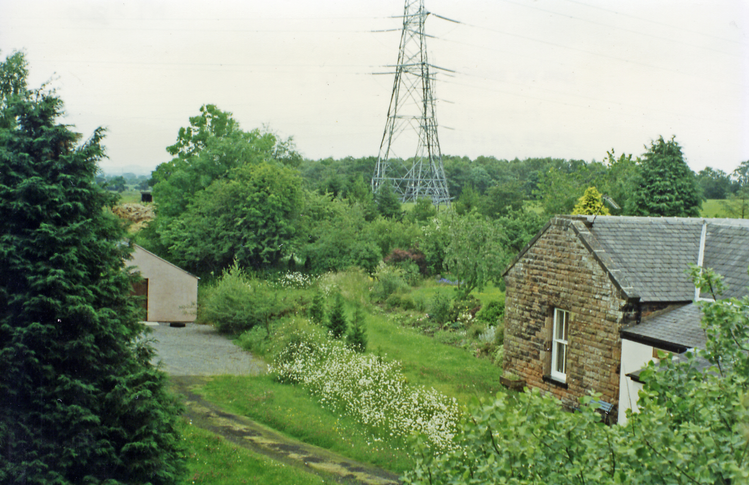
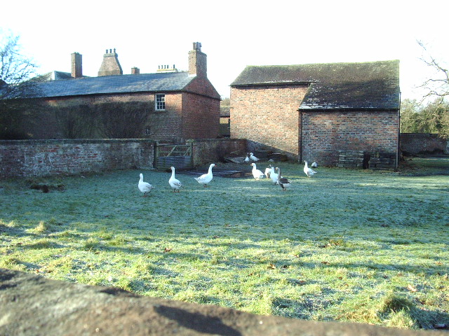
Newtown of Rockcliffe Images

Images are sourced within 2km of 54.952969/-2.9579013 or Grid Reference NY3862. Thanks to Geograph Open Source API. All images are credited.

Damaged culvert from ditch on north side of road east of Keysmount Ordnance Survey documents describe a benchmark levelled at 31.117m above Newlyn Datum verified in 1972 on a culvert at this location
Damaged culvert from ditch on north side of road east of Keysmount
Ordnance Survey documents describe a benchmark levelled at 31.117m above Newlyn Datum verified in 1972 on a culvert at this location
A path leading to The Mount Farm
Keysmount Farm
Keysmount Farm
Old C Road
Old C Road
Top of the Hill
Top of the Hill
Minor road near Dyke Nook
Towards Houghton Moss A very wet day in a wet Autumn. There was a lot of freshly cut timber here.
Towards Houghton Moss
A very wet day in a wet Autumn. There was a lot of freshly cut timber here.
Farm track It's a wet day but this was taken on higher ground surrounded by what were once wetlands, some of which have survived.
Farm track
It's a wet day but this was taken on higher ground surrounded by what were once wetlands, some of which have survived.
Keysmount On a slight rise surrounded by what would have once been marsh and moss. A glimpse of brightness at the end of a very wet day.
Keysmount
On a slight rise surrounded by what would have once been marsh and moss. A glimpse of brightness at the end of a very wet day.
Field near Westlinton The low lying ground around the Solway Firth is usually used for grazing.
Field near Westlinton
The low lying ground around the Solway Firth is usually used for grazing.
Mount Hill House near Blackford.
Mount Hill
House near Blackford.
Minor road towards Scaleby
Grassland near Crosshill Towards distant power lines.
Grassland near Crosshill
Towards distant power lines.
Lane towards Keysmount
Gateway at bend in rural road at Crosshill Ordnance Survey records indicate that a benchmark levelled at 32.091m above Newlyn Datum was verified in 1972 on a gatepost about 2m left of the fence junction at the group of trees. The gatepost at the right hand side of the gateway has been replaced
Gateway at bend in rural road at Crosshill
Ordnance Survey records indicate that a benchmark levelled at 32.091m above Newlyn Datum was verified in 1972 on a gatepost about 2m left of the fence junction at the group of trees. The gatepost at the right hand side of the gateway has been replaced
Benchmark on Riggmoor Bridge Ordnance Survey cut mark benchmark levelled at 23.239m above Newlyn Datum verified in 1972
Benchmark on Riggmoor Bridge
Ordnance Survey cut mark benchmark levelled at 23.239m above Newlyn Datum verified in 1972
NW parapet of Riggmoor Bridge There is an Ordnance Survey benchmark <a href="https://www.geograph.org.uk/photo/6835805">NY4063 : Benchmark on Riggmoor Bridge</a> on a stone at the base of the parapet about 1 foot from its left hand end
NW parapet of Riggmoor Bridge
There is an Ordnance Survey benchmark NY4063 : Benchmark on Riggmoor Bridge on a stone at the base of the parapet about 1 foot from its left hand end
Field with sheep on west side of road near Down By Rigg
Show me another place!

Newtown of Rockcliffe is located at Grid Ref: NY3862 (Lat: 54.952969, Lng: -2.9579013)

Administrative County: Cumbria

District: Carlisle

Police Authority: Cumbria

What 3 Words

///waxes.blown.dummy. Near Longtown, Cumbria

Related Wikis

Blackford, Cumbria

Blackford is a village in Cumbria, England, close to Gretna, Scotland. == Etymology == Blackford means what it says, a black ford or river-crossing. However...

Todhills Rest Area

Todhills Rest Area is a rest area in between Junctions 44 and 45 of the M6 motorway in England. It is the last Services northbound on the M6 and the first...

Harker railway station

Harker railway station served the settlement of Harker, Cumbria, England, between 1861 and 1969 on the Waverley Line. == History == The first station was...

Todhills, Cumbria

Todhills is a small village on the outskirts of Carlisle, Cumbria, England. The village's name is from Old English tota-hyll "look-out hill". Located north...

Harker, Cumbria

Harker is a settlement in the parish of Rockcliffe, in the City of Carlisle district, in the county of Cumbria, England. Harker is located along the A7...

Lyneside railway station

Lyneside railway station served the hamlet of West Linton, Cumbria, England, from 1861 to 1964 on the Waverley Line. == History == The station opened sometime...

Westlinton

Westlinton (or West Linton) is a small village and civil parish in Cumbria, England. It is in the City of Carlisle district, and is located north of Carlisle...

Rockcliffe railway station

Rockcliffe railway station, later Rockcliffe Halt was a station which served the rural area around Rockcliffe, Rockcliffe parish, north of Carlisle in...

Nearby Amenities

Located within 500m of 54.952969,-2.9579013
Created By: Merkaartor 0.12
Lat/Long: 54.9516371/-2.9651659
Created By: Merkaartor 0.12
Lat/Long: 54.952093/-2.962827
Created By: Merkaartor 0.12
Lat/Long: 54.9529525/-2.9583102
Created By: Merkaartor 0.12
Lat/Long: 54.953401/-2.956506
Created By: Merkaartor 0.12
Lat/Long: 54.9548624/-2.9590987
Created By: Merkaartor 0.12
Lat/Long: 54.9553922/-2.9590987
Created By: Merkaartor 0.12
Lat/Long: 54.9564826/-2.9589593
Created By: Merkaartor 0.12
Lat/Long: 54.9568429/-2.958998
Post Box
Ref: CA6 430
Lat/Long: 54.9537957/-2.9540463
Power: tower
Lat/Long: 54.9510829/-2.9621966
Power: tower
Lat/Long: 54.9529257/-2.9620285
Power: tower
Lat/Long: 54.9555784/-2.9617864
Power: tower
Lat/Long: 54.9553835/-2.9603951
Power: tower
Lat/Long: 54.9528361/-2.9606213
Power: tower
Lat/Long: 54.9504465/-2.9608336
Power: pole
Lat/Long: 54.952841/-2.9583907
Power: pole
Lat/Long: 54.9525931/-2.9596951
Power: pole
Lat/Long: 54.9522957/-2.9612369
Power: pole
Lat/Long: 54.9520341/-2.9626253
Power: pole
Lat/Long: 54.9517559/-2.964064
The data included in this document is from www.openstreetmap.org. The data is made available under ODbL.

Have you been to Newtown of Rockcliffe?

Leave your review of Newtown of Rockcliffe below (or comments, questions and feedback).