Newtown Common

Settlement in Hampshire Basingstoke and Deane

England

Newtown Common

Ye Olde Swan Inn This pub is situated below the Church in this square, at the intersection. This picture was taken looking south.
Ye Olde Swan Inn Credit: Pam Brophy

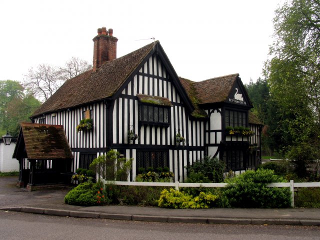
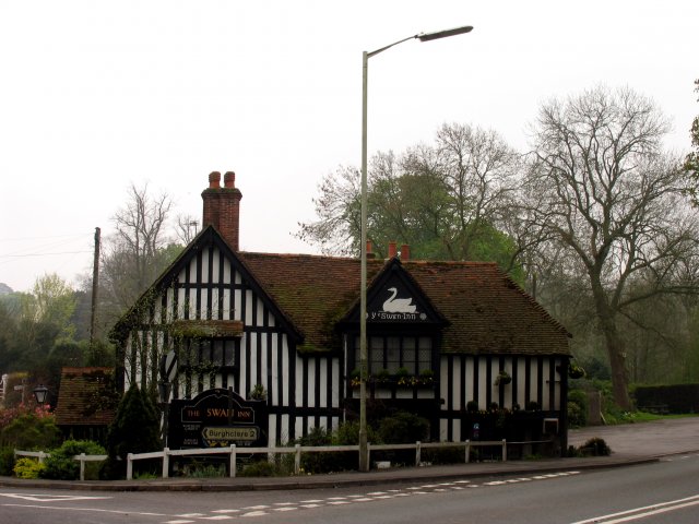
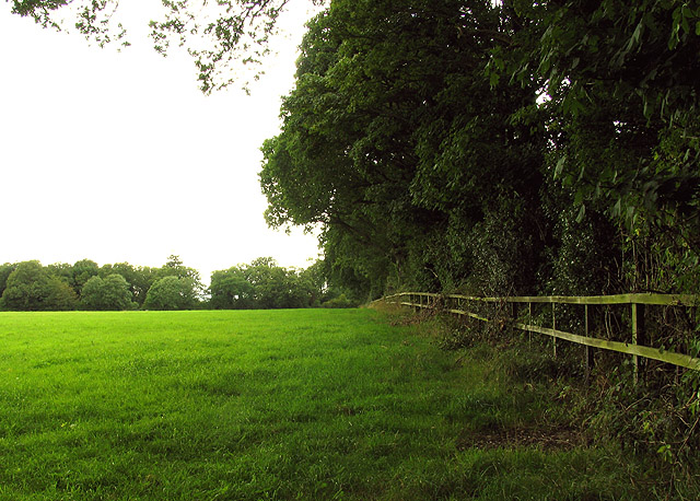
Newtown Common is a picturesque rural area located in the county of Hampshire, England. Covering an area of approximately 100 acres, it is nestled in the heart of the New Forest National Park, renowned for its stunning landscapes and diverse wildlife. The common is situated near the small village of Brockenhurst, providing easy access to amenities and transport links.

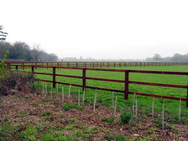
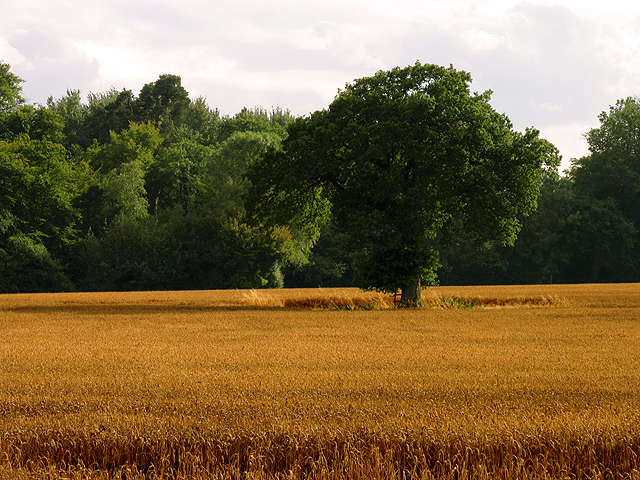
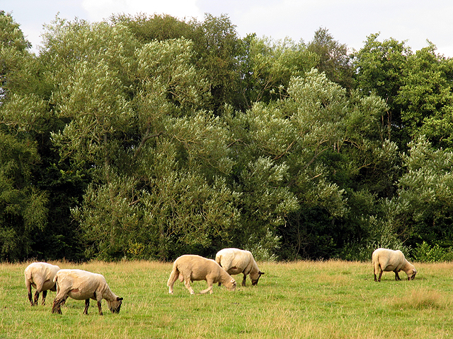
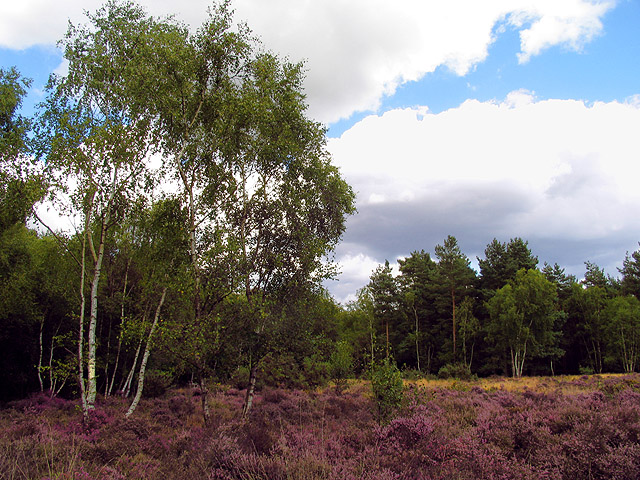
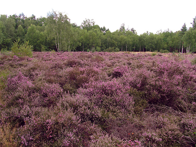
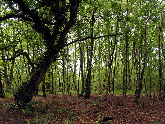
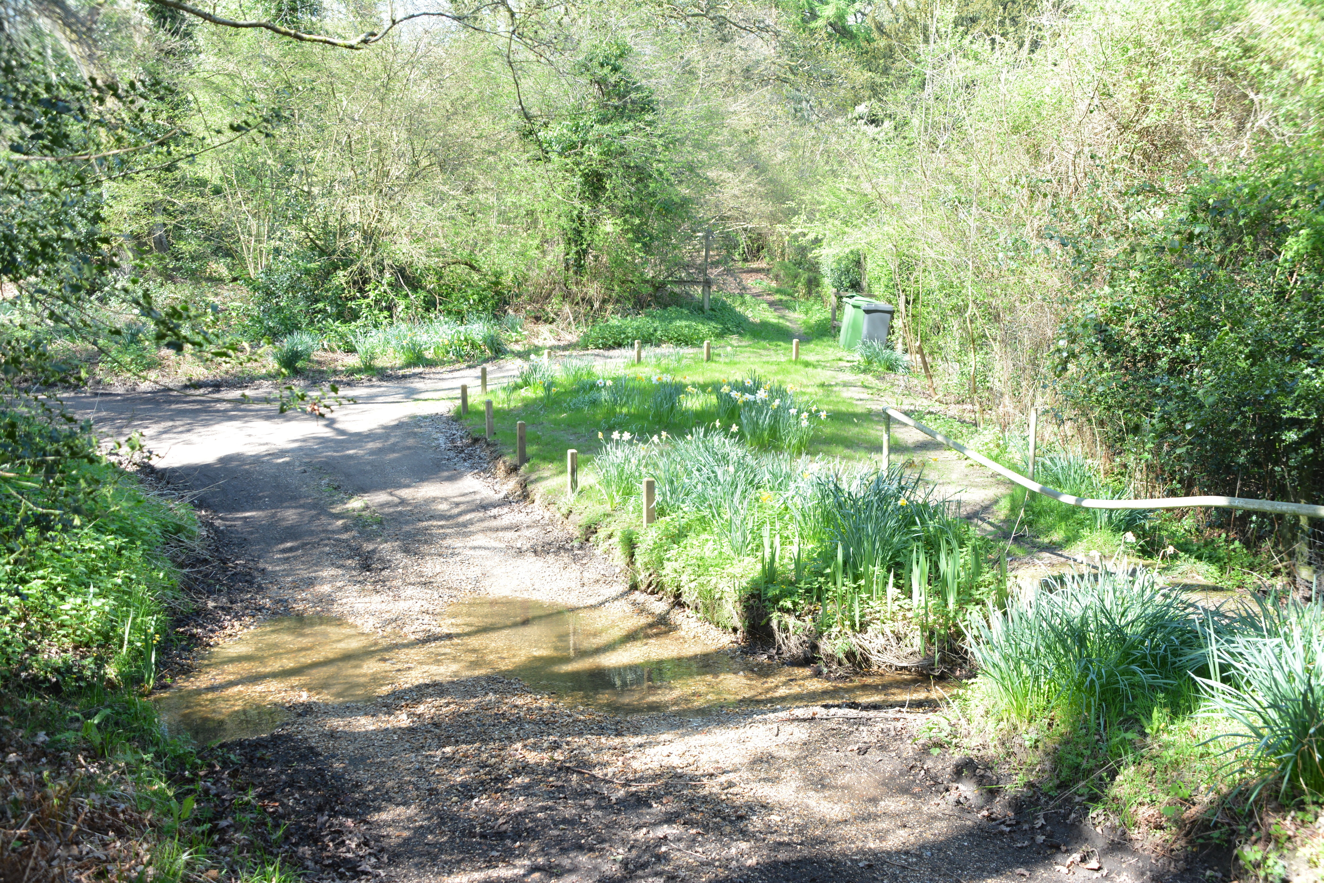
The common itself is characterized by its open grassland, heathland, and scattered woodland areas. It is home to a wide variety of flora and fauna, including heather, gorse, and bracken, as well as several species of birds, insects, and small mammals. The diverse habitat attracts nature enthusiasts and birdwatchers from far and wide.

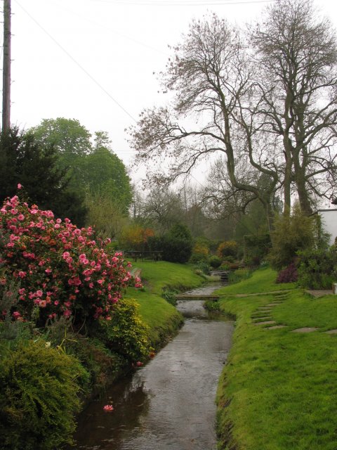
A network of well-maintained footpaths crisscrosses the common, allowing visitors to explore its beauty at their own pace. The paths lead to secluded spots, offering peaceful spots for picnics or simply enjoying the tranquility of the surroundings. Additionally, Newtown Common is intersected by a small stream, adding to its charm and providing a refreshing spot for visitors to cool off during warmer months.

The common also holds historical significance, as it was once a site of medieval settlements. Archaeological remains, including earthworks and ancient boundaries, can still be seen today, adding an extra layer of intrigue for history enthusiasts.

Newtown Common offers a peaceful escape from the hustle and bustle of everyday life, providing a haven for nature lovers, walkers, and those seeking a breath of fresh air. Its natural beauty and serene atmosphere make it a popular destination for both locals and tourists alike, and it continues to be a cherished part of Hampshire's natural heritage.

If you have any feedback on the listing, please let us know in the comments section below.

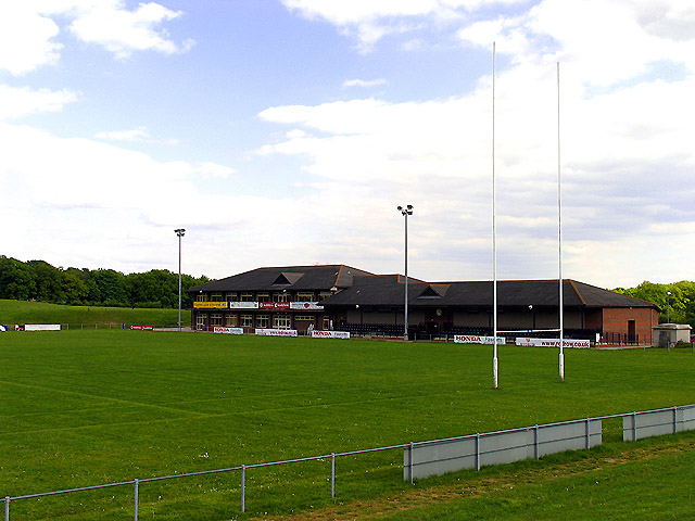
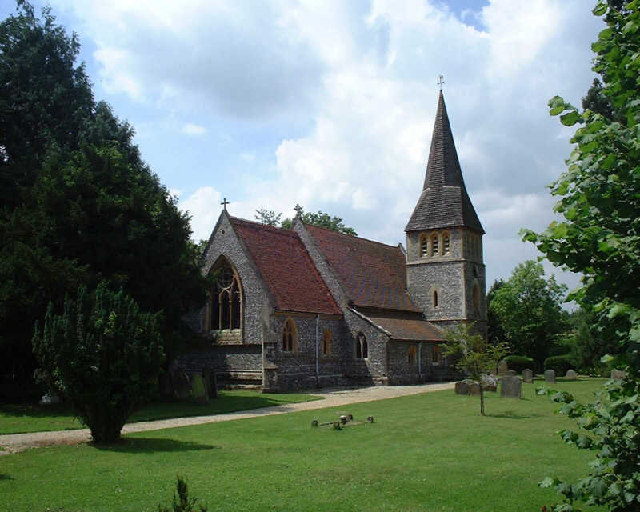
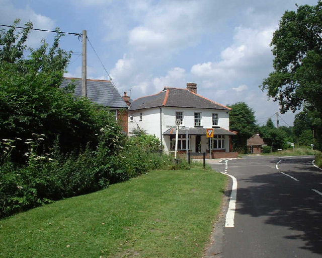
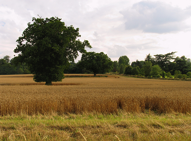
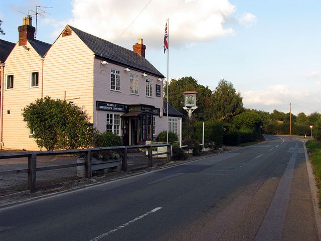
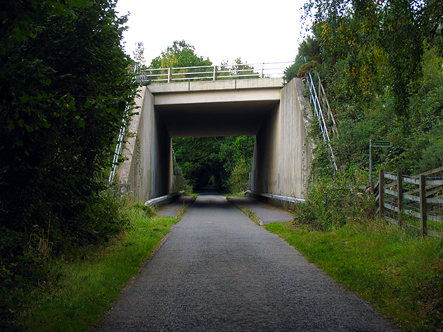
Newtown Common Images

Images are sourced within 2km of 51.364323/-1.3272738 or Grid Reference SU4663. Thanks to Geograph Open Source API. All images are credited.

Ye Olde Swan Inn This pub is situated below the Church in this square, at the intersection. This picture was taken looking south.
Ye Olde Swan Inn
This pub is situated below the Church in this square, at the intersection. This picture was taken looking south.
Lairage: Burghclere I am told this is where horses are sometimes held while waiting to be transported. This is situated at the interchange of the A34 and the B4640 from Newtown. The picture was taken looking north and east.
Lairage: Burghclere
I am told this is where horses are sometimes held while waiting to be transported. This is situated at the interchange of the A34 and the B4640 from Newtown. The picture was taken looking north and east.
Ye Olde Swan Inn The pub lies in the extreme north of the square, in the eastern quadrant. As one comes down from the grid north of this one and as one passes over the riverbridge, the pub is in view between the B4640 and the junction with the road to Burgchlere, before it forks.
Ye Olde Swan Inn
The pub lies in the extreme north of the square, in the eastern quadrant. As one comes down from the grid north of this one and as one passes over the riverbridge, the pub is in view between the B4640 and the junction with the road to Burgchlere, before it forks.
The Stream alongside Ye Olde Swan Inn This stream runs diagonally through the square from  NE-SW and is on the eastern side of the pub, between the pub and the road into Newtown.
The Stream alongside Ye Olde Swan Inn
This stream runs diagonally through the square from NE-SW and is on the eastern side of the pub, between the pub and the road into Newtown.
Newbury Rugby Football Club The rugby field, clubhouse and stand are situated in the northern half of the grid square. This picture was taken looking more or less south east.
Newbury Rugby Football Club
The rugby field, clubhouse and stand are situated in the northern half of the grid square. This picture was taken looking more or less south east.
Newtown Church Newtown Church
Newtown Church
Newtown Church
Junction of Well Street and Harts Lane, Burghclere Junction of Well Street and Harts Lane, Burghclere
Junction of Well Street and Harts Lane, Burghclere
Farmland in Newtown This field is in the eastern half of the square between the edge of the square and Newtown house.
Farmland in Newtown
This field is in the eastern half of the square between the edge of the square and Newtown house.
Farmland near Newtown This field is in the north western section of the square, south of the road. The bearing looks more or less south east towards Arbuthnot Wood.
Farmland near Newtown
This field is in the north western section of the square, south of the road. The bearing looks more or less south east towards Arbuthnot Wood.
Pasture near Newtown These sheep were grazing in pasture in the north eastern section of the square. The bearing is more or less north, looking towards Rosemore Copse.
Pasture near Newtown
These sheep were grazing in pasture in the north eastern section of the square. The bearing is more or less north, looking towards Rosemore Copse.
Heather field: Newtown A surprise heather field in wooded area (mostly birch) near Newtown Grange and Newtown. This field is in the north western section of the square. The picture was taken from the footpath.
Heather field: Newtown
A surprise heather field in wooded area (mostly birch) near Newtown Grange and Newtown. This field is in the north western section of the square. The picture was taken from the footpath.
Heather near Newtown This heather field is alongside woodland in the north western section of the square. The square is mostly woodland or plantation with isolated detached residences spread across the square, mostly off the minor road and Sheepwash Lane.
Heather near Newtown
This heather field is alongside woodland in the north western section of the square. The square is mostly woodland or plantation with isolated detached residences spread across the square, mostly off the minor road and Sheepwash Lane.
Paddock near Newtown This paddock in the south eastern section of the square belongs to a stud farm in the area. This square is mostly farmland with some detached residences along the lanes.
Paddock near Newtown
This paddock in the south eastern section of the square belongs to a stud farm in the area. This square is mostly farmland with some detached residences along the lanes.
Woodland near Newtown This square is mostly woodland and farmland, with some detached residences spread across the square. There is also a school down one of the private roads in the square. This woodland is in the eastern section of the square.
Woodland near Newtown
This square is mostly woodland and farmland, with some detached residences spread across the square. There is also a school down one of the private roads in the square. This woodland is in the eastern section of the square.
Diocese of Winchester: Newtown Church This church is south west of the village, in the north eastern section of the square.
Diocese of Winchester: Newtown Church
This church is south west of the village, in the north eastern section of the square.
Modern Housing Development New houses in the north eastern section of the square.
Modern Housing Development
New houses in the north eastern section of the square.
Wash Water Road near Enborne This is a view of the end of Wash Water road and the public house marked ph on the 1:50 000 map. The pub is on the north side of the road. The road joins the A343 to the right (east) of the pub and leads off the A343 to Enborne. This square contains some of the residential area of Wash Common and the key roads linking Enborne and Wash Water.
Wash Water Road near Enborne
This is a view of the end of Wash Water road and the public house marked ph on the 1:50 000 map. The pub is on the north side of the road. The road joins the A343 to the right (east) of the pub and leads off the A343 to Enborne. This square contains some of the residential area of Wash Common and the key roads linking Enborne and Wash Water.
A34(T) Bridge near Newtown This square is largely farmland and plantations belonging to the English Forestry commission. This bridge carries the A34(T) over one of the lanes passing through the forested area.
A34(T) Bridge near Newtown
This square is largely farmland and plantations belonging to the English Forestry commission. This bridge carries the A34(T) over one of the lanes passing through the forested area.
Show me another place!

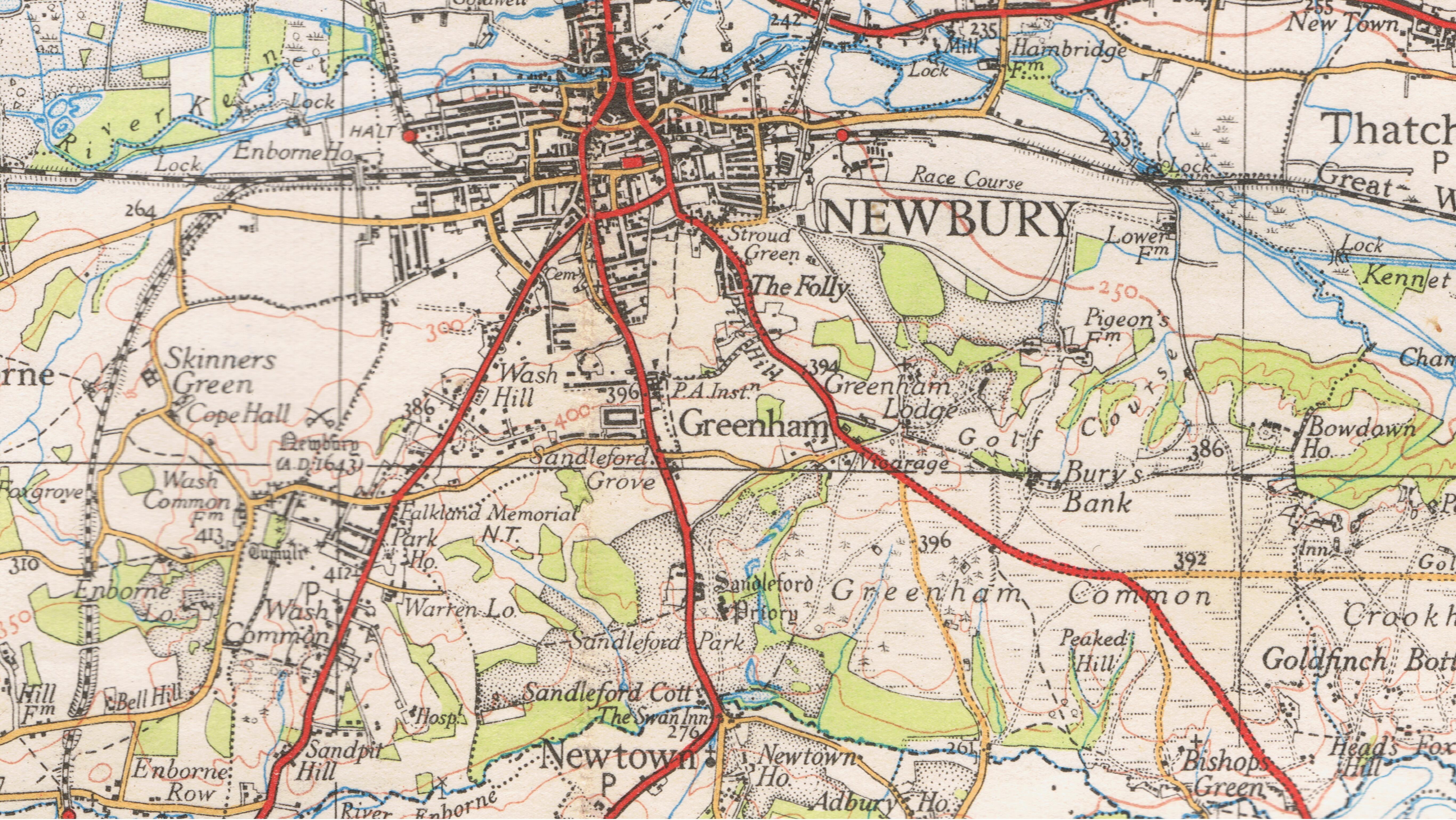
Newtown Common is located at Grid Ref: SU4663 (Lat: 51.364323, Lng: -1.3272738)

Administrative County: Hampshire

District: Basingstoke and Deane

Police Authority: Hampshire

What 3 Words

///minivans.script.vowed. Near Greenham, Berkshire

Related Wikis

Newtown Common

Newtown Common is a village in the Basingstoke and Deane district of Hampshire, England. Its nearest town is Newbury, which lies approximately 2.5 miles...

Horris Hill School

Horris Hill, is an independent day and boarding preparatory school for boys aged 4–13. It is located in Berkshire in England, south of Newbury in West...

Herbert Plantation

Herbert Plantation is a 25.6-hectare (63-acre) Local Nature Reserve north of Burghclere in Hampshire. It is owned by Hampshire County Council and managed...

Newtown, Hampshire

Newtown is a village and civil parish in the English county of Hampshire, about 1+1⁄2 miles (2.4 km) south of Newbury, Berkshire. == History == In the...

Sandleford Priory (country house)

Sandleford Priory is a largely 18th century country house at Sandleford in the civil parish of Greenham in the English county of Berkshire. It incorporates...

St Gabriel's School

St Gabriel's School is a private co-educational day school (Nursery, Junior School, Senior School & Sixth Form) located at Sandleford Priory in Sandleford...

Sandleford

Sandleford is a hamlet and former parish in the English county of Berkshire. Since at least 1924, the settlement has been within the civil parish of Greenham...

Clere School

The Clere School is a small co-educational community secondary school in Burghclere. Although its postcode locates to Reading via Newbury, it is in Hampshire...

Nearby Amenities

Located within 500m of 51.364323,-1.3272738
Bus Stop
Sheepwash
Naptan AtcoCode: 1900HA010107
Naptan Bearing: S
Naptan CommonName: Sheepwash
Naptan Crossing: Sheepwash Lane
Naptan NaptanCode: hamdgatm
Naptan Street: B4640
Naptan Verified: no
Source: naptan_import
Lat/Long: 51.3613516/-1.3289707
Bus Stop
Sheepwash
Naptan AtcoCode: 1900HA010108
Naptan Bearing: N
Naptan CommonName: Sheepwash
Naptan Crossing: Sheepwash Lane
Naptan NaptanCode: hamdgatg
Naptan Street: B4640
Naptan Verified: no
Source: naptan_import
Lat/Long: 51.3613612/-1.3290855
Bus Stop
Newtown Common
Naptan AtcoCode: 1900HA010109
Naptan Bearing: S
Naptan CommonName: Newtown Common
Naptan NaptanCode: hamdgdmg
Naptan Street: B4640
Naptan Verified: no
Source: naptan_import
Lat/Long: 51.3657877/-1.3263633
Bus Stop
Newtown Common
Naptan AtcoCode: 1900HA010110
Naptan Bearing: N
Naptan CommonName: Newtown Common
Naptan NaptanCode: hamdgdmd
Naptan Street: B4640
Naptan Verified: no
Source: naptan_import
Lat/Long: 51.3658062/-1.3264492
Barrier: stile
Lat/Long: 51.3670992/-1.3320887
Barrier: stile
Lat/Long: 51.3672901/-1.3308603
Newtown Common
Place: hamlet
Wikidata: Q13130419
Lat/Long: 51.3667328/-1.3247969
Historic: milestone
Lat/Long: 51.3658179/-1.3262971
Post Box
Operator: Royal Mail
Post Box Type: lamp
Ref: RG20 33
Royal Cypher: EIIR
Royal Cypher Wikidata: Q33102113
Lat/Long: 51.364121/-1.327444
The data included in this document is from www.openstreetmap.org. The data is made available under ODbL.

Have you been to Newtown Common?

Leave your review of Newtown Common below (or comments, questions and feedback).