Newtown St Boswells
Settlement in Roxburghshire
Scotland
Newtown St Boswells
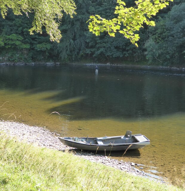
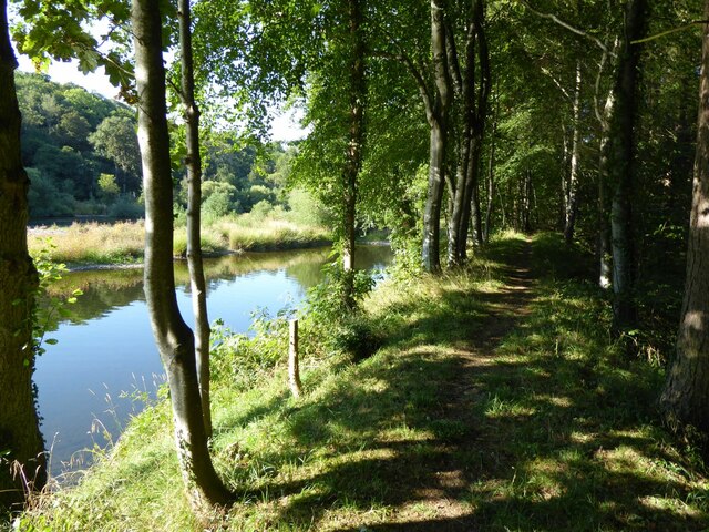
Newtown St Boswells is a small village located in the county of Roxburghshire in the Scottish Borders region of Scotland. Situated on the banks of the River Tweed, it is approximately three miles southeast of the town of Melrose and about 35 miles south of Edinburgh.
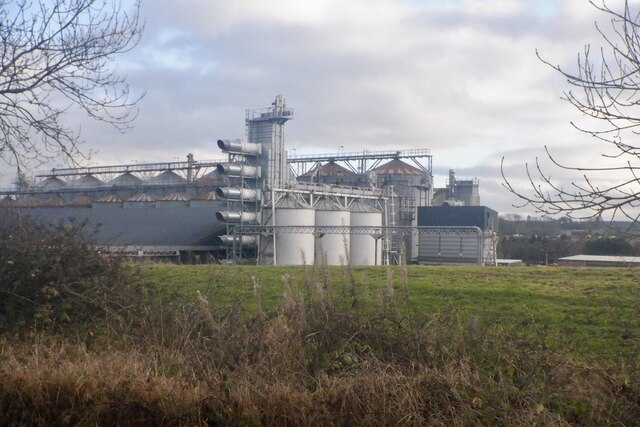
The village is known for being the administrative headquarters of Scottish Borders Council, making it an important hub for local government services. It is home to the council's headquarters building, which is a prominent feature in the village.
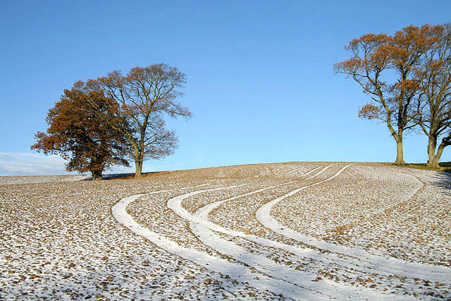
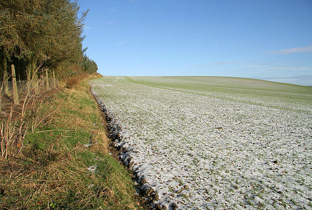
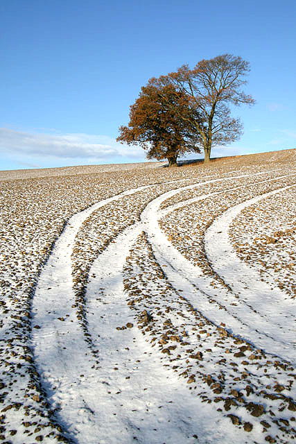
Despite its administrative focus, Newtown St Boswells maintains a quiet and picturesque ambiance. The surrounding countryside offers beautiful views, with rolling hills and lush greenery. Outdoor enthusiasts can enjoy walking, cycling, and fishing activities in the area.
The village itself has a small but friendly community, with a few local amenities such as a post office, a convenience store, and a pub. There is also a primary school serving the village and the surrounding area.
Transport links to Newtown St Boswells are convenient, with regular bus services connecting the village to nearby towns and cities. The A68 road runs through the village, providing easy access for commuters and visitors.
Overall, Newtown St Boswells is a peaceful village with a strong administrative presence. Its idyllic location and proximity to the River Tweed make it an attractive place for those seeking a tranquil lifestyle in the Scottish Borders.
If you have any feedback on the listing, please let us know in the comments section below.
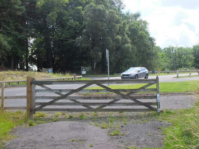
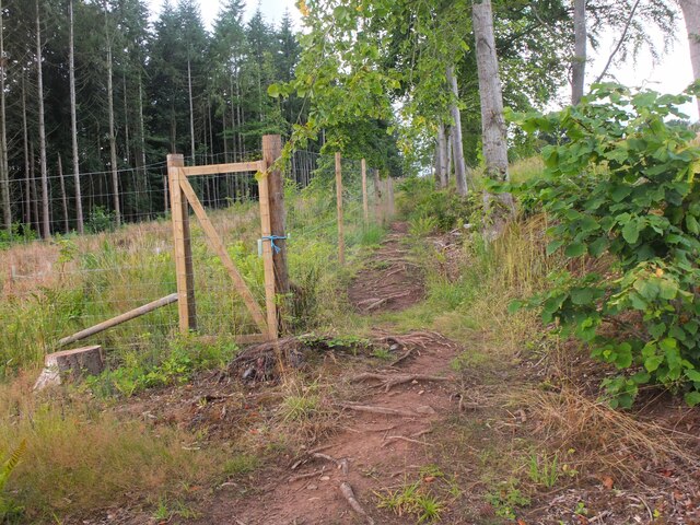
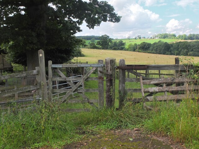
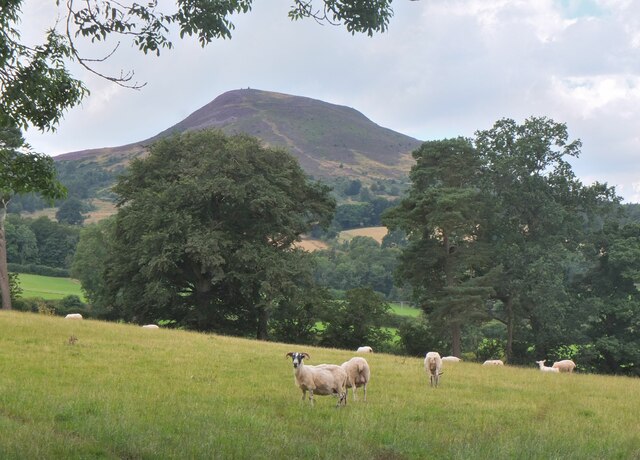
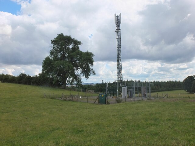
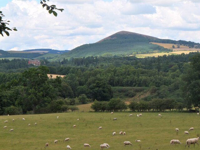
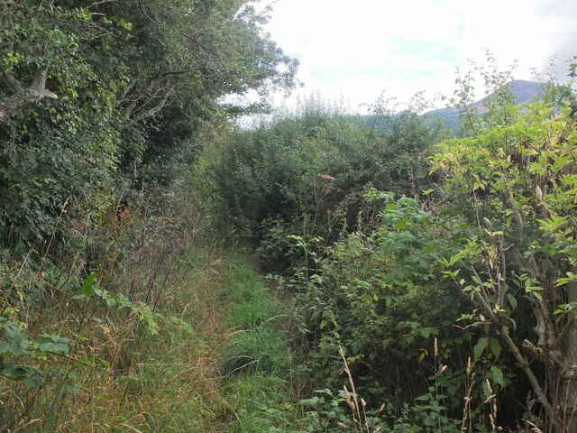
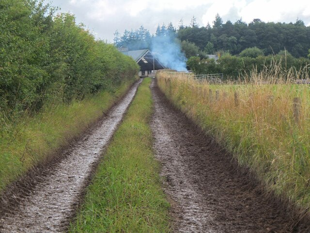
Newtown St Boswells Images
Images are sourced within 2km of 55.576003/-2.6709618 or Grid Reference NT5731. Thanks to Geograph Open Source API. All images are credited.
Newtown St Boswells is located at Grid Ref: NT5731 (Lat: 55.576003, Lng: -2.6709618)
Unitary Authority: The Scottish Borders
Police Authority: The Lothians and Scottish Borders
What 3 Words
///butlers.jazzy.secondly. Near Newtown St Boswells, Scottish Borders
Nearby Locations
Related Wikis
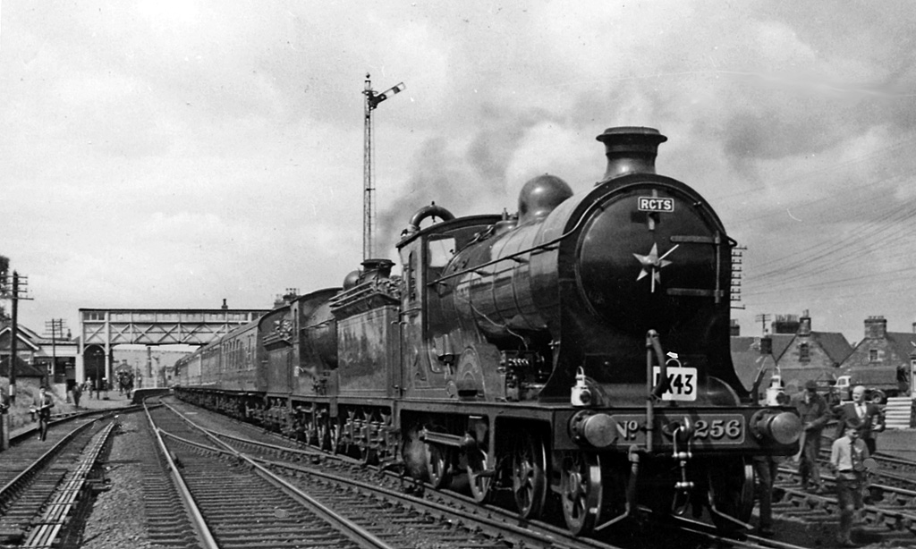
St. Boswells railway station
St Boswells railway station was a railway station that served the villages of Newtown St Boswells and St Boswells, Scottish Borders, Scotland from 1849...

Newtown St Boswells
Newtown St Boswells (Scots: Newtoon; Scottish Gaelic: Baile Ùr Bhoisil [ˈpaləˈuːɾˈvɔʃɪl]) is a village in the Scottish Borders council area, in south-east...

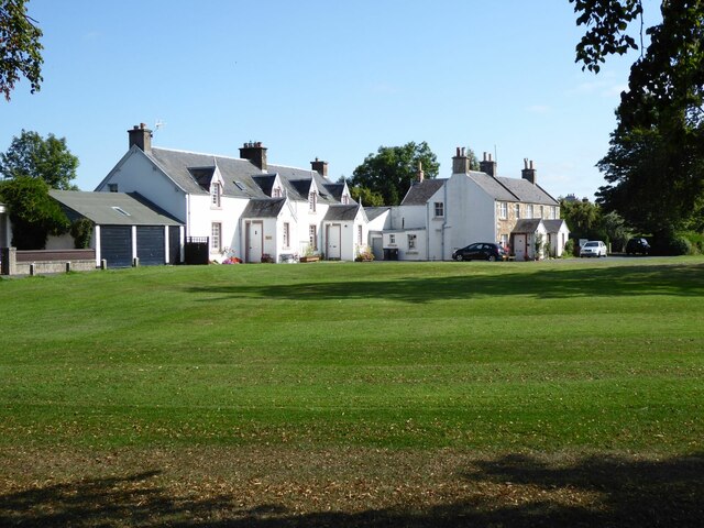
Council Headquarters, Newtown St Boswells
The Council Headquarters is a municipal building in Newtown St Boswells, in the Scottish Borders council area in Scotland. It serves as the headquarters...
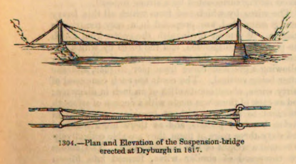
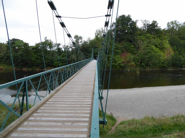
Dryburgh Abbey Bridge
Dryburgh Abbey Bridge was a cable-stayed footbridge of significant historical interest erected near Dryburgh Abbey, in the Borders of Scotland. It connected...

Eildon
Eildon is the largest committee area of the Scottish Borders Council, with a population of 34,892 at the census in 2001. It also contains the three Eildon...

Fat Lips
Fat Lips (or Fatlips) is the name given to a legendary spirit dwelling in Dryburgh Abbey in Berwickshire, Scotland. The spirit was associated with a hermit...

Dryburgh Abbey
Dryburgh Abbey, near Dryburgh on the banks of the River Tweed in the Scottish Borders, was nominally founded on 10 November (Martinmas) 1150 in an agreement...

Dryburgh
Dryburgh is a village in the Borders region of Scotland, within the county of Berwickshire. It is most famous for the ruined Dryburgh Abbey. Dryburgh Abbey...
Nearby Amenities
Located within 500m of 55.576003,-2.6709618Have you been to Newtown St Boswells?
Leave your review of Newtown St Boswells below (or comments, questions and feedback).