Newtown
Settlement in Hampshire
England
Newtown

Newtown is a small village located in the county of Hampshire, England. Situated in the Test Valley district, it lies approximately 5 miles northeast of the town of Stockbridge. The village is surrounded by picturesque countryside, characterized by rolling hills, meandering rivers, and lush green fields.
With a population of around 800 residents, Newtown maintains a close-knit community atmosphere. The village is known for its peaceful and idyllic setting, attracting visitors seeking tranquility and natural beauty. The Test Way, a popular long-distance footpath, passes through Newtown, providing opportunities for hiking and exploring the scenic Hampshire countryside.
Historically, Newtown was an important center for the wool trade, with evidence of a thriving medieval market. Today, the village retains some of its historical charm, with a few older buildings and quaint thatched cottages adding to its character. However, Newtown primarily comprises modern houses and amenities to cater to the needs of its residents.
For essential services, residents can rely on the nearby town of Stockbridge, which offers a range of amenities, including shops, supermarkets, and healthcare facilities. Newtown also benefits from a primary school, ensuring that local children have access to education within the community.
Overall, Newtown, Hampshire, is a peaceful village with a strong sense of community and a natural beauty that appeals to both residents and visitors alike. Its location in the heart of the Hampshire countryside makes it an ideal destination for those seeking a peaceful retreat or an escape from city life.
If you have any feedback on the listing, please let us know in the comments section below.
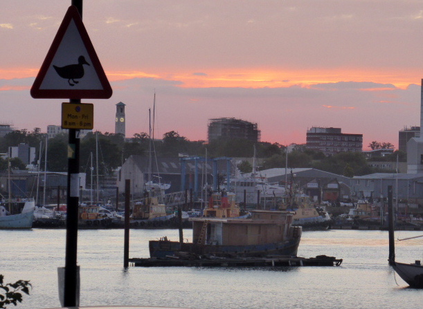
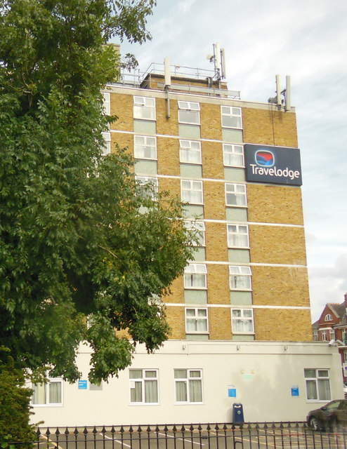
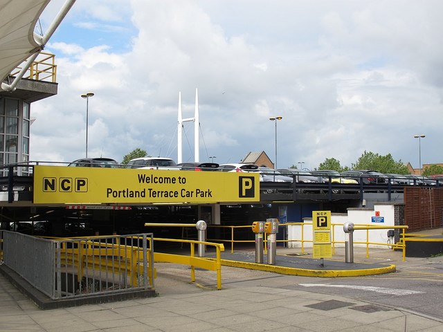
Newtown Images
Images are sourced within 2km of 50.910946/-1.3995843 or Grid Reference SU4212. Thanks to Geograph Open Source API. All images are credited.


Newtown is located at Grid Ref: SU4212 (Lat: 50.910946, Lng: -1.3995843)
Unitary Authority: Southampton
Police Authority: Hampshire
What 3 Words
///eggs.foal.pillow. Near Southampton, Hampshire
Nearby Locations
Related Wikis

St Mary's Road drill hall, Southampton
The St Mary's Road drill hall is a former military installation in Southampton. It is a Grade II listed building. == History == The building was designed...
Antelope Ground
The Antelope Ground, Southampton was a sports ground that was the first home of both Hampshire County Cricket Club, who played there prior to 1884, and...
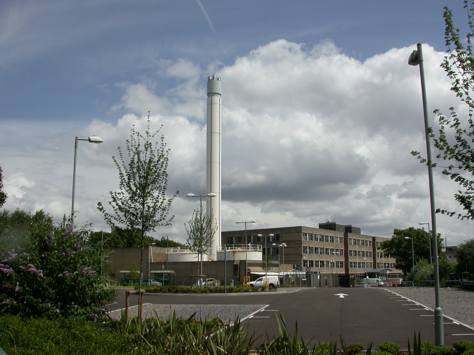
Royal South Hants Hospital
The Royal South Hants Hospital, known locally as "The RSH", is a community hospital in Southampton. It is managed by NHS Property Services. == History... ==

Nicholstown
Nicholstown-Newtown (usually called Nicholstown or Newtown) is a small area to the north-east of Southampton's city centre. To the north is Bevois Valley...
Solent University
Solent University (formerly Southampton Solent University) is a public university based in Southampton, United Kingdom. It has approximately 10,500 students...

Ordnance Survey buildings
The former offices of Ordnance Survey are situated in London Road, Southampton, close to the junction with The Avenue, and are now part of the city's court...
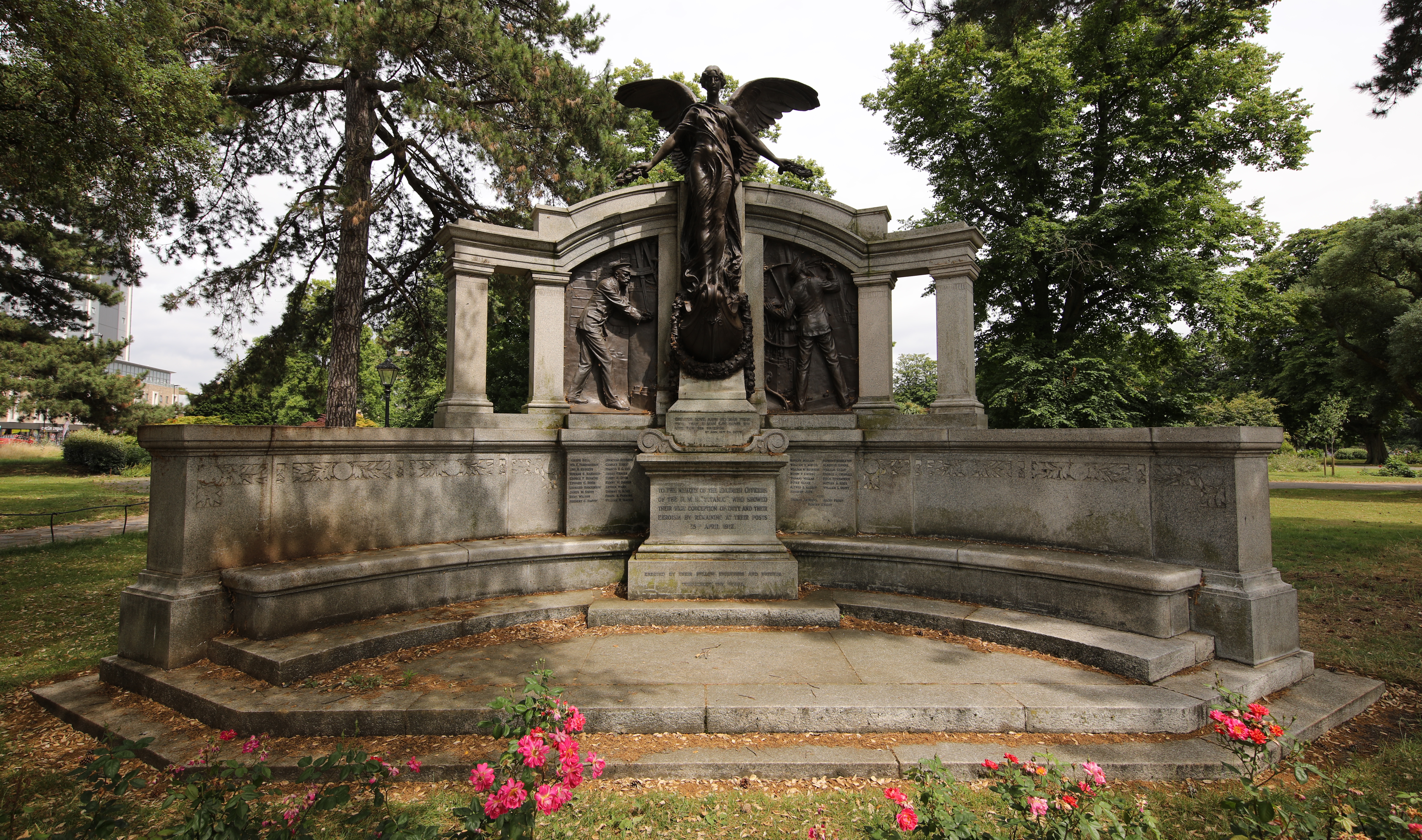
Titanic Engineers' Memorial
The Titanic Engineers' Memorial is a memorial in East (Andrews) Park, Southampton, United Kingdom, to the engineers who died in the Titanic disaster on...

Southampton Courts of Justice
The Southampton Courts of Justice, also known as Southampton Combined Court Centre, is a Crown Court venue, which deals with criminal cases, as well as...
Related Videos

How to use the P&O My Holiday App!
Here's everything you need to know about how to access the P&O My Holiday App to get the most out of your cruise holiday, ...

1 Week on board P&O Aurora Cruising Spain & France (part 1 of 3)
1 Week on board P&O Aurora Cruising Spain & France (part 1 of 3) Here's the big one! Join us for our embarkation day on P&O ...

1 Week on P&O Iona Cruising Northern Europe (Part 1 of 3)
1 Week on P&O Iona Cruising Northern Europe (Part 1 of 3) Here we go! It's part 1 of my 1 week cruise onboard P&O Iona, sailing ...

P&O Cruise My Holiday App - We Guide You Through The Most Important Tool You Will Need On The Ship!
So if you have not used the P&O My Holiday app(which is not an app) or you are not tech savvy and just want some help on how ...
Nearby Amenities
Located within 500m of 50.910946,-1.3995843Have you been to Newtown?
Leave your review of Newtown below (or comments, questions and feedback).