Newtown

Settlement in Durham

England

Newtown

Unused Land Beside Holme House Prison It appears that the land has been prepared with an access road and large concrete pad, but no further development has taken place. An old railway alignment runs down the western side and Holme House Prison is on the east. National Cycle Route 1 now uses part of the concrete pad before continuing north using the old railway alignment.
Unused Land Beside Holme House Prison Credit: David Robinson

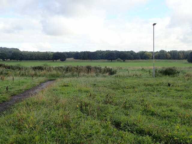
Newtown is a small village located in the county of Durham, England. Situated approximately 7 miles south of the city of Durham, Newtown is nestled in a picturesque countryside setting. The village is surrounded by rolling hills and green fields, offering residents and visitors a tranquil and idyllic atmosphere.

The main focal point of Newtown is its charming village center. Here, a handful of traditional stone houses, some dating back centuries, line the narrow streets. Newtown is home to a tight-knit community, and its residents take pride in maintaining the village's historical character and preserving its heritage.

Despite its small size, Newtown boasts a few amenities to cater to the needs of its residents. These include a local pub, which serves as a gathering place for locals and visitors alike, and a small convenience store for everyday essentials. The village also has a primary school, ensuring that families with young children have access to quality education close to home.

Nature enthusiasts are drawn to Newtown for its stunning natural surroundings. The village provides easy access to numerous walking trails, offering breathtaking views of the surrounding countryside. Additionally, the nearby river provides opportunities for fishing and boating, adding to the appeal for outdoor enthusiasts.

While Newtown may be a quiet and peaceful village, its close proximity to Durham city allows residents to enjoy the benefits of urban amenities, such as shopping centers, restaurants, and cultural attractions. The village also benefits from excellent transportation links, with regular bus services connecting it to neighboring towns and cities.

In summary, Newtown is a charming and picturesque village in Durham, England. With its historical architecture, close-knit community, and beautiful natural surroundings, it offers a peaceful and idyllic place to call home.

If you have any feedback on the listing, please let us know in the comments section below.
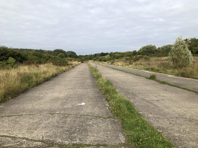
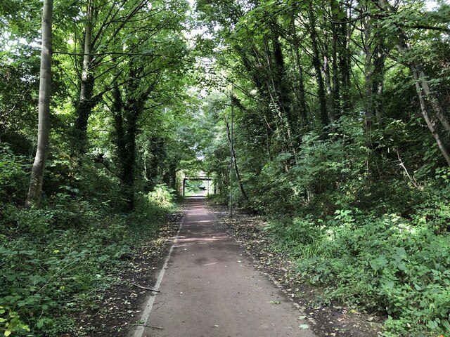
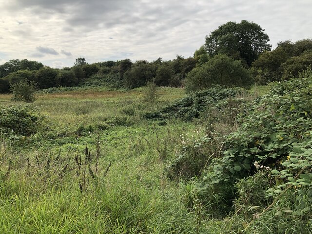
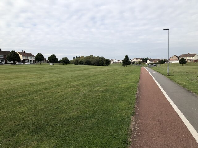
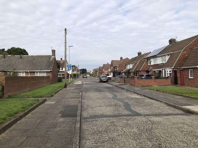
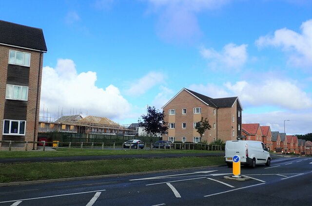
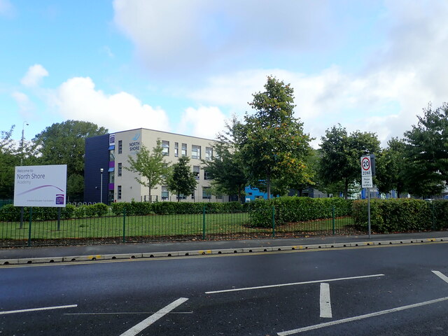
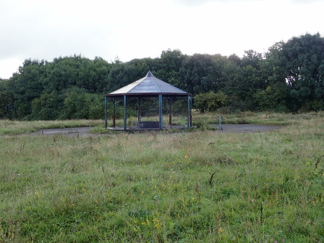
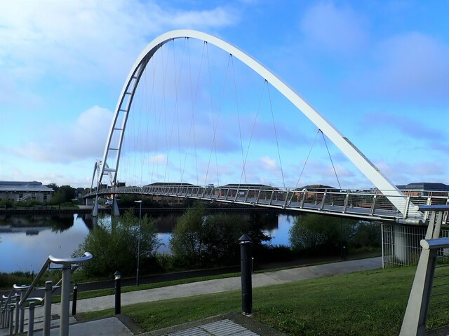
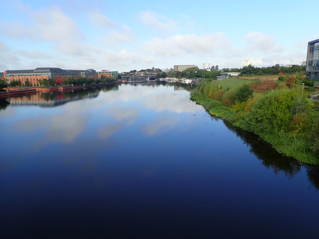
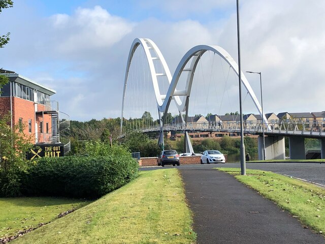
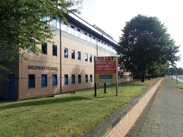
Newtown Images

Images are sourced within 2km of 54.570358/-1.3234032 or Grid Reference NZ4319. Thanks to Geograph Open Source API. All images are credited.

Unused Land Beside Holme House Prison It appears that the land has been prepared with an access road and large concrete pad, but no further development has taken place. An old railway alignment runs down the western side and Holme House Prison is on the east. National Cycle Route 1 now uses part of the concrete pad before continuing north using the old railway alignment.
Unused Land Beside Holme House Prison
It appears that the land has been prepared with an access road and large concrete pad, but no further development has taken place. An old railway alignment runs down the western side and Holme House Prison is on the east. National Cycle Route 1 now uses part of the concrete pad before continuing north using the old railway alignment.
National Cycle Route 1 The wooded cutting hides the fact that the cycle path is running through urban Stockton. The former railway ran between Stockton and eastern Billingham, serving the industries on the North bank of the Tees.
National Cycle Route 1
The wooded cutting hides the fact that the cycle path is running through urban Stockton. The former railway ran between Stockton and eastern Billingham, serving the industries on the North bank of the Tees.
Wetland Area Small area of wetland in urban Stockton. Residential estates are hidden by the line of shrubs and trees lining the Durham Coast Railway.
Wetland Area
Small area of wetland in urban Stockton. Residential estates are hidden by the line of shrubs and trees lining the Durham Coast Railway.
Pedestrian & Cycle Route, Roseworth
Rothwell Crescent, Roseworth, Stockton
New houses being built west of Norton Road
North Shore Academy The North Shore Academy is a secondary school which opened in 2010, and replaced Blakeston School and Norton Comprehensive School.
North Shore Academy
The North Shore Academy is a secondary school which opened in 2010, and replaced Blakeston School and Norton Comprehensive School.
Pavilion in a Recreation Ground Could not find a name for this green area. Lustrum Beck flows around it, but the whole are looks rather uncared for. The pavilion is covered in graffiti and has broken glass and an old shopping trolley.
Pavilion in a Recreation Ground
Could not find a name for this green area. Lustrum Beck flows around it, but the whole are looks rather uncared for. The pavilion is covered in graffiti and has broken glass and an old shopping trolley.
North Shore Academy Sports Field
The River Tees Crossing the river on the Victoria Bridge. The apartments by the side of the river are student accommodation flats.
The River Tees
Crossing the river on the Victoria Bridge. The apartments by the side of the river are student accommodation flats.
Queen's Campus Sports Centre Opened in 2010 as part of Durham University
Queen's Campus Sports Centre
Opened in 2010 as part of Durham University
Queen's Campus, Durham University Durham University International Study Centre is based at Queen’s Campus and provides international students with International Foundation Year and Pre-Masters study opportunities.
Queen's Campus, Durham University
Durham University International Study Centre is based at Queen’s Campus and provides international students with International Foundation Year and Pre-Masters study opportunities.
Infinity Bridge over the River Tees The distinctive curve of this footbridge creates a reflection in the river below forming the mathematical symbol for infinity. This bridge opened in May 2009 after construction works lasting 18 months
Infinity Bridge over the River Tees
The distinctive curve of this footbridge creates a reflection in the river below forming the mathematical symbol for infinity. This bridge opened in May 2009 after construction works lasting 18 months
Crossing the Infinity Bridge Over the River Tees. This is a cycle/footbridge opened in May 2009 after construction works lasting 18 months
Crossing the Infinity Bridge
Over the River Tees. This is a cycle/footbridge opened in May 2009 after construction works lasting 18 months
River Tees upstream from the Infinity Bridge
Looking downstream from the Infinity Bridge Durham University Queen's Campus buildings on the right
Looking downstream from the Infinity Bridge
Durham University Queen's Campus buildings on the right
Beautiful curves of the Infinity Bridge This is a cycle/footbridge connecting the Queen's Campus with the left bank of the River Tees
Beautiful curves of the Infinity Bridge
This is a cycle/footbridge connecting the Queen's Campus with the left bank of the River Tees
Medway House Office building on University Boulevard
Medway House
Office building on University Boulevard
Show me another place!

Newtown is located at Grid Ref: NZ4319 (Lat: 54.570358, Lng: -1.3234032)

Unitary Authority: Stockton-on-Tees

Police Authority: Cleveland

What 3 Words

///yappy.armed.reliving. Near Stockton-on-Tees, Co. Durham

Related Wikis

Newtown, Stockton-on-Tees

Newtown is an area of Stockton-on-Tees within the borough of Stockton-on-Tees, County Durham, England. It is next to the Stockton town centre's north-west...
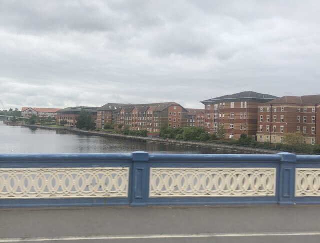
Stockton-on-Tees

Stockton-on-Tees, often simply referred to as Stockton, is a market town in the Stockton-on-Tees unitary authority borough of County Durham, England. With...

Stockton railway station (County Durham)

Stockton is a railway station on the Durham Coast Line, which runs between Newcastle and Middlesbrough via Hartlepool. The station, situated 5 miles 45...

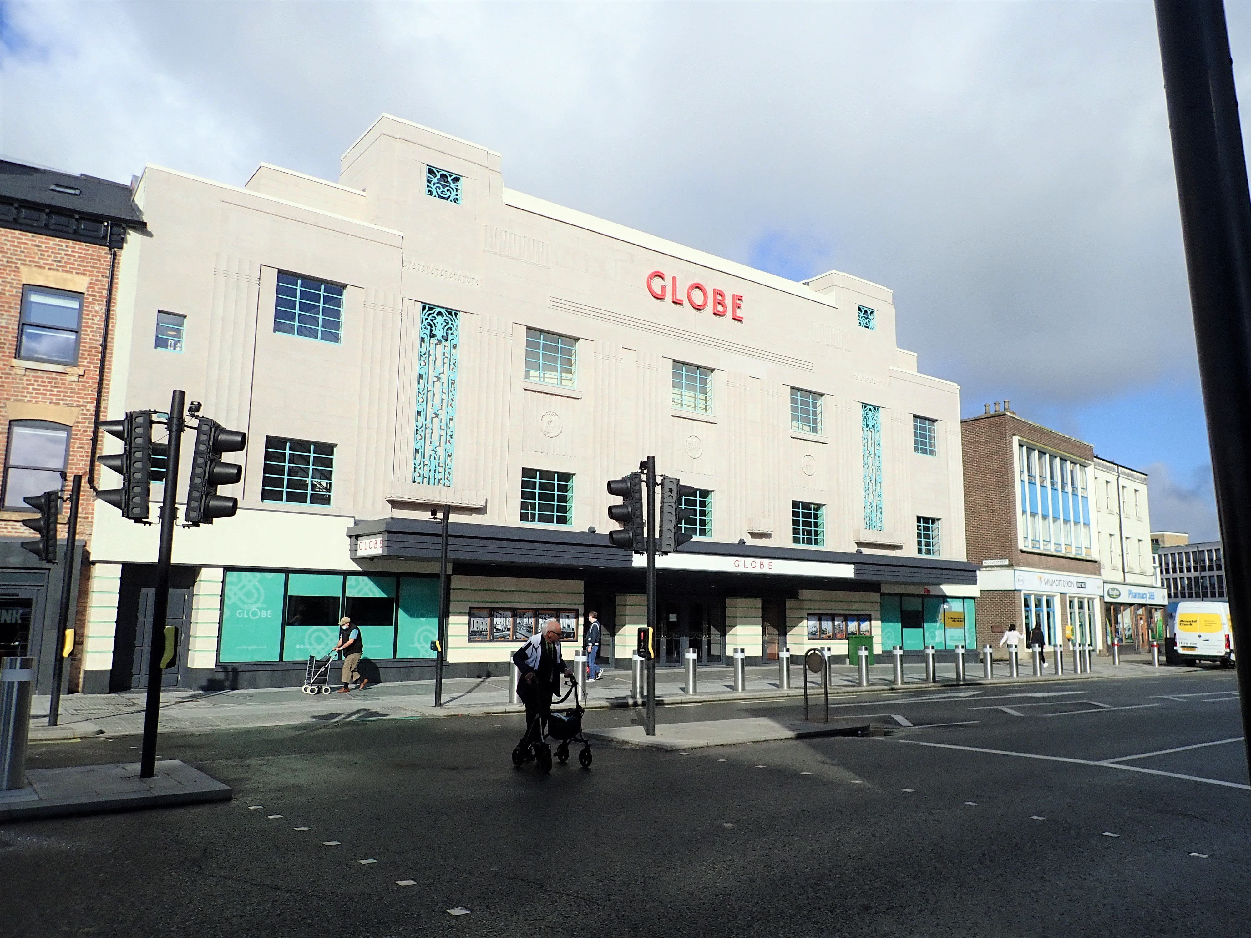
Globe Theatre, Stockton-on-Tees

The Globe is a Grade II listed Art Deco theatre, in Stockton-on-Tees, England. == History == Situated at the north-western end of High Street, the original...

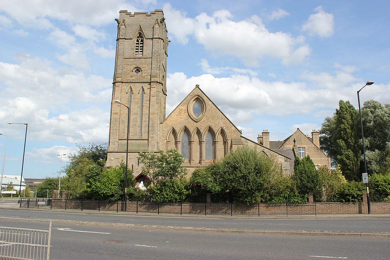
St Mary's Church, Stockton-on-Tees

St Mary's Church is a Roman Catholic parish church in Stockton-on-Tees, County Durham, England. It was built in 1842 and designed by Augustus Pugin in...

Stockton Parish Church

Stockton Parish Church is a Church of England parish church located on the High Street in Stockton-on-Tees, County Durham. The church is a Grade I listed...

Stockton Flyer

The Stockton Flyer is a kinetic sculpture in Stockton-on-Tees, County Durham. It is a stylised depiction of the Locomotion No. 1, which first arrived...

Stockton-on-Tees Town Hall

Stockton-on-Tees Town Hall is a municipal building in the High Street in Stockton-on-Tees, County Durham, England. The building, which is the meeting place...

Nearby Amenities

Located within 500m of 54.570358,-1.3234032
Stockton
Naptan AtcoCode: 9100STOCTON
Network: National Rail
Network Website: https://www.nationalrail.co.uk/stations/stk/
Network Wikidata: Q26334
Operator: Northern Rail
Operator Website: https://www.northernrailway.co.uk/stations/stockton
Operator Wikidata: Q85789775
Public Transport: station
Railway: station
Ref Crs: STK
Source: Bing
Wikidata: Q2749128
Wikipedia: en:Stockton railway station (County Durham)
Lat/Long: 54.5698756/-1.3181754
Traffic Calming: cushion
Lat/Long: 54.5697421/-1.3303069
Bus: yes
Public Transport: stop_position
Lat/Long: 54.5703272/-1.3308919
Traffic Calming: cushion
Lat/Long: 54.5687684/-1.3266339
Traffic Calming: cushion
Lat/Long: 54.5684216/-1.3271743
Rtc Rate: cushion
Lat/Long: 54.5680562/-1.3272029
Traffic Calming: hump
Lat/Long: 54.5685393/-1.3258872
Traffic Calming: hump
Lat/Long: 54.5695402/-1.3248127
Traffic Calming: cushion
Lat/Long: 54.5698455/-1.3244039
Post Box
Ref: TS19 596
Lat/Long: 54.5717348/-1.319589
Traffic Calming: cushion
Lat/Long: 54.5701881/-1.3239076
Source: survey
Traffic Calming: table
Lat/Long: 54.5729763/-1.3242319
Traffic Calming: hump
Lat/Long: 54.5711784/-1.3229352
Recycling
Lat/Long: 54.5694163/-1.3166955
Public Transport: stop_position
Lat/Long: 54.5693512/-1.3211575
Post Office
Shop: convenience
Source: OS OpenData StreetView
Lat/Long: 54.5725509/-1.3238984
Veterinary
Vets4Pets Stockton
Addr City: Stockton-on-Tees
Addr Housenumber: 44
Addr Postcode: TS19 0BS
Addr Street: Durham Road
Branch: Stockton
Brand: Vets4Pets
Brand Wikidata: Q16960196
Opening Hours: Mo-Fr 08:30-19:00; Sa 08:30-12:00
Operator: Vets4Pets
Source: survey
Website: https://www.vets4pets.com/stockton/
Lat/Long: 54.571747/-1.3218921
Bicycle Parking
Bicycle Parking: stands
Capacity: 6
Covered: no
Lat/Long: 54.569777/-1.3178587
Traffic Calming: hump
Lat/Long: 54.568226/-1.3245835
Traffic Calming: hump
Lat/Long: 54.5682283/-1.3256099
Barrier: bollard
Lat/Long: 54.5689457/-1.3245568
Traffic Calming: hump
Lat/Long: 54.5696454/-1.3213128
Traffic Calming: hump
Lat/Long: 54.5700322/-1.3214718
Traffic Calming: hump
Lat/Long: 54.5703593/-1.3218508
Barrier: block
Lat/Long: 54.570777/-1.3210987
Traffic Calming: hump
Lat/Long: 54.5708449/-1.3224397
Traffic Calming: hump
Lat/Long: 54.5708535/-1.3219979
Public Transport: stop_position
Lat/Long: 54.5709087/-1.3243302
Traffic Calming: hump
Lat/Long: 54.571028/-1.3216041
Traffic Calming: hump
Lat/Long: 54.5702629/-1.3160402
Bus: yes
Public Transport: stop_position
Lat/Long: 54.5695568/-1.3198936
Fast Food
Durham Road Chippy
Cuisine: fish_and_chips
Lat/Long: 54.5719022/-1.3224139
Bus: yes
Public Transport: stop_position
Lat/Long: 54.5720803/-1.3228543
Source: survey
Traffic Calming: hump
Lat/Long: 54.5722759/-1.3228089
Crossing
Crossing: traffic_signals
Crossing Ref: pelican
Source: survey
Tactile Paving: yes
Traffic Calming: table
Lat/Long: 54.5722918/-1.3231795
Source: survey
Traffic Calming: hump
Lat/Long: 54.5726571/-1.3232166
Source: survey
Traffic Calming: hump
Lat/Long: 54.5730084/-1.3213528
Source: survey
Traffic Calming: hump
Lat/Long: 54.573324/-1.321888
Source: survey
Traffic Calming: hump
Lat/Long: 54.5734208/-1.3211611
Source: survey
Traffic Calming: hump
Lat/Long: 54.5736204/-1.3201204
Bus Stop
Appleton Road
Bench: no
Bus: yes
Kerb: raised
Local Ref: 1
Public Transport: platform
Shelter: yes
Source: survey
Tactile Paving: yes
Lat/Long: 54.5736706/-1.3251466
Shop: convenience
Lat/Long: 54.5736998/-1.3250735
Source: survey
Traffic Calming: hump
Lat/Long: 54.5737828/-1.32265
Source: survey
Traffic Calming: table
Lat/Long: 54.5739609/-1.3257444
Public Transport: stop_position
Lat/Long: 54.5740159/-1.325186
Source: survey
Traffic Calming: hump
Lat/Long: 54.5742489/-1.323274
Source: survey
Traffic Calming: hump
Lat/Long: 54.5742969/-1.3224353
Source: survey
Traffic Calming: hump
Lat/Long: 54.5743385/-1.3215533
Source: survey
Traffic Calming: choker
Lat/Long: 54.5746623/-1.324053
Source: survey
Traffic Calming: hump
Lat/Long: 54.5747333/-1.3231553
Source: survey
Traffic Calming: hump
Lat/Long: 54.5711947/-1.3248756
Source: survey
Traffic Calming: hump
Lat/Long: 54.5715739/-1.3251069
Source: survey
Traffic Calming: hump
Lat/Long: 54.5716186/-1.3256854
Source: survey
Traffic Calming: hump
Lat/Long: 54.571864/-1.3262245
Source: survey
Traffic Calming: hump
Lat/Long: 54.5719162/-1.3254496
Source: survey
Traffic Calming: hump
Lat/Long: 54.5720331/-1.3243747
Source: survey
Traffic Calming: hump
Lat/Long: 54.5721835/-1.3260112
Source: survey
Traffic Calming: hump
Lat/Long: 54.5723094/-1.3248149
Source: survey
Traffic Calming: hump
Lat/Long: 54.5725026/-1.3254985
Source: survey
Traffic Calming: hump
Lat/Long: 54.5732226/-1.3237333
Fast Food
Pedro's
Cuisine: regional
Lat/Long: 54.571824/-1.3227678
Bus Stop
Newtown Stores
Bench: no
Kerb: raised
Public Transport: platform
Shelter: yes
Source: survey
Tactile Paving: yes
Lat/Long: 54.5692864/-1.3212323
Source: local_knowledge
Traffic Calming: cushion
Lat/Long: 54.5693375/-1.3256106
Public Transport: stop_position
Lat/Long: 54.5695302/-1.3215549
Bus Stop
Bench: no
Bus: yes
Kerb: raised
Naptan AtcoCode: 077072801A
Naptan NaptanCode: sktjmgw
Public Transport: platform
Shelter: no
Source: survey
Tactile Paving: yes
Lat/Long: 54.5703525/-1.3308868
Source: Bing
Traffic Calming: hump
Lat/Long: 54.5704919/-1.3306359
Public Transport: platform
Lat/Long: 54.5707481/-1.3240542
Shop: car
Lat/Long: 54.5712524/-1.3212743
Post Box
Lat/Long: 54.5725183/-1.3237348
Bus: yes
Public Transport: stop_position
Lat/Long: 54.5725783/-1.32362
Source: survey
Traffic Calming: table
Lat/Long: 54.5727258/-1.3241735
Source: survey
Traffic Calming: table
Lat/Long: 54.5730378/-1.3246113
Bus: yes
Public Transport: stop_position
Lat/Long: 54.5682681/-1.3166273
Crossing
Crossing: island
Lat/Long: 54.568885/-1.3200789
Bus: yes
Public Transport: stop_position
Lat/Long: 54.5736257/-1.3252303
Bus: yes
Public Transport: stop_position
Lat/Long: 54.5742425/-1.3261752
Bus: yes
Public Transport: stop_position
Lat/Long: 54.5693719/-1.3199098
Bus Stop
Stockton Station
Local Ref: B
Naptan AtcoCode: 077072491B
Naptan NaptanCode: sktjapm
Public Transport: platform
Source: Bing
Lat/Long: 54.5681706/-1.3166833
Bus Stop
Appleton Road
Bench: no
Bus: yes
Kerb: raised
Local Ref: 3
Naptan AtcoCode: 077072386C
Naptan NaptanCode: sktawdg
Public Transport: platform
Shelter: no
Source: survey
Tactile Paving: yes
Lat/Long: 54.5740424/-1.325255
Bus Stop
Appleton Road
Bus: yes
Local Ref: 2
Public Transport: platform
Lat/Long: 54.5742132/-1.3262274
Bus Stop
Durham Road End
Bus: yes
Public Transport: platform
Lat/Long: 54.5693696/-1.3198432
Bus Stop
Durham Road End
Bench: no
Kerb: raised
Public Transport: platform
Shelter: no
Source: Bing
Tactile Paving: yes
Lat/Long: 54.5695626/-1.3199581
Bus Stop
Londonderry Road
Bench: no
Bus: yes
Kerb: raised
Public Transport: platform
Shelter: yes
Source: survey
Tactile Paving: yes
Lat/Long: 54.5725972/-1.3235845
Bus Stop
Newtown Stores
Bench: no
Kerb: raised
Naptan AtcoCode: 077072389A
Naptan NaptanCode: sktawdw
Public Transport: platform
Shelter: no
Source: survey
Tactile Paving: yes
Lat/Long: 54.5695805/-1.3215342
Bus Stop
Bench: no
Bus: yes
Kerb: raised
Public Transport: platform
Shelter: no
Source: survey
Tactile Paving: yes
Lat/Long: 54.5707152/-1.3241062
Bus Stop
Bench: no
Bus: yes
Naptan AtcoCode: 077072390B
Naptan NaptanCode: sktawgj
Public Transport: platform
Shelter: no
Source: Bing
Tactile Paving: yes
Lat/Long: 54.5709354/-1.3242858
Traffic Calming: cushion
Lat/Long: 54.5741237/-1.3250155
Bus Stop
Londonderry Road
Bench: no
Bus: yes
Public Transport: platform
Shelter: no
Source: survey
Tactile Paving: yes
Lat/Long: 54.5720508/-1.3229027
Pharmacy
Well Pharmacy
Brand: Well Pharmacy
Brand Wikidata: Q7726524
Healthcare: pharmacy
Website: https://finder.well.co.uk/store/stockton-bishopton-lane
Lat/Long: 54.5685948/-1.3171055
Stockton
Public Transport: stop_position
Source: Bing
Train: yes
Lat/Long: 54.5698951/-1.3182627
Traffic Calming: hump
Lat/Long: 54.5711324/-1.3307434
Stockton
Name Ur: اسٹاکٹن
Public Transport: stop_position
Railway: stop
Train: yes
Lat/Long: 54.5697788/-1.3182555
Local @ TS18
Addr City: Stockton-on-Tees
Addr Country: GB
Addr Housenumber: 56
Addr Postcode: TS18 2AQ
Addr Street: Bishopton Lane
Fhrs Id: 250763
Old Name: Station News
Shop: newsagent
Source Addr: FHRS Open Data
Lat/Long: 54.5684629/-1.3164253
Camera Mount: pole
Camera Type: fixed
Man Made: surveillance
Surveillance Type: camera
Lat/Long: 54.5701807/-1.3178351
Generator Method: photovoltaic
Generator Output Electricity: yes
Generator Source: solar
Generator Type: solar_photovoltaic_panel
Location: roof
Power: generator
Lat/Long: 54.5715734/-1.3304508
Place Of Worship
Saint Bede's Catholic Church
Addr City: Stockton-on-Tees
Addr Postcode: TS18 4PA
Addr Street: Bishopton Road
Denomination: roman_catholic
Religion: christian
Source: survey
Lat/Long: 54.5706956/-1.3257939
Entrance: main
Lat/Long: 54.5729409/-1.3296929
Newtown Guest House
Addr City: Stockton-on-Tees
Addr Housenumber: 68
Addr Postcode: TS19 0ES
Addr Street: Londonderry Road
Fhrs Id: 251129
Survey Date: 2020-11-04
Tourism: guest_house
Lat/Long: 54.5728888/-1.3231713
Traffic Signals
Crossing: no
Traffic Signals Direction: forward
Lat/Long: 54.5723491/-1.3232676
Traffic Signals
Crossing: no
Traffic Signals Direction: backward
Lat/Long: 54.5722506/-1.3231162
Vending Machine
Payment Cash: no
Payment Contactless: yes
Payment Credit Cards: yes
Payment Debit Cards: yes
Vending: public_transport_tickets
Lat/Long: 54.5698835/-1.3180059
Entrance: main
Lat/Long: 54.5693508/-1.3177324
Bicycle Parking
Access: customers
Bicycle Parking: stands
Capacity: 8
Covered: no
Lat/Long: 54.5693912/-1.3178228
Barrier: bollard
Lat/Long: 54.5687005/-1.3182398
Defibrillator
Defibrillator Location: Attached to wall at entrance to railway station
Emergency: defibrillator
Indoor: no
Ref GB The Circuit: C0BE5DAF-93FE-4844-A8F4-AFF1007A67FC
Lat/Long: 54.5696586/-1.3179194
Bench
Backrest: yes
Direction: 25
Material: metal
Lat/Long: 54.5696905/-1.3180253
Traffic Calming: cushion
Lat/Long: 54.5687127/-1.3304028
Entrance: main
Lat/Long: 54.5694309/-1.3158087
The data included in this document is from www.openstreetmap.org. The data is made available under ODbL.

Have you been to Newtown?

Leave your review of Newtown below (or comments, questions and feedback).