Newtown

Settlement in Warwickshire North Warwickshire

England

Newtown

Minor road off Green End Road
Minor road off Green End Road Credit: Ian S

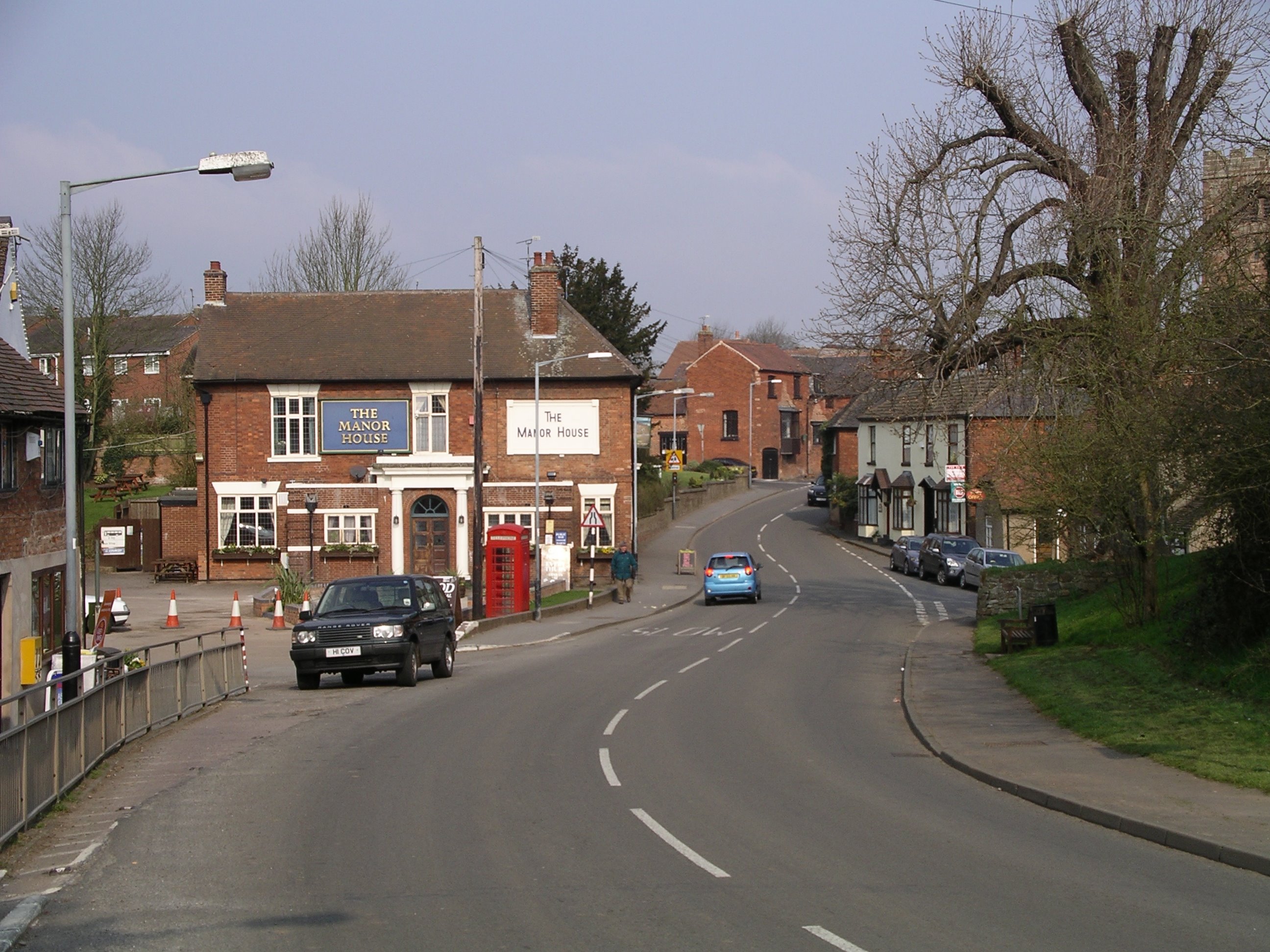
Newtown is a small village located in the county of Warwickshire, England. Situated approximately 5 miles south of Warwick, it is nestled in the scenic Warwickshire countryside. With a population of around 500 residents, Newtown offers a tranquil and close-knit community atmosphere.

The village is known for its picturesque surroundings, featuring rolling hills, lush green fields, and charming country lanes. It is an ideal destination for nature enthusiasts, offering several walking and cycling paths that showcase the area's natural beauty.

Historically, Newtown has a rich heritage, dating back to the medieval period. The village is home to St. Luke's Church, a stunning Grade II listed building that stands as a testament to the area's long-standing religious significance.

While Newtown is primarily a residential area, it is within easy reach of nearby towns such as Warwick and Leamington Spa, which offer a wider range of amenities, including shops, restaurants, and leisure facilities. Additionally, the village benefits from excellent transport links, with the A46 road connecting it to major cities such as Coventry and Birmingham.

The community spirit in Newtown is evident through various local events and activities, including the annual village fete and the Newtown Summer Fair. The village also boasts a well-regarded primary school, providing education for the local children.

Overall, Newtown, Warwickshire offers a peaceful and idyllic setting, making it an appealing place for those seeking a rural lifestyle while still having access to nearby urban amenities.

If you have any feedback on the listing, please let us know in the comments section below.
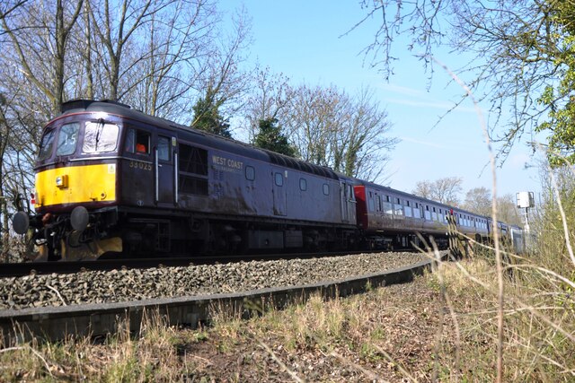
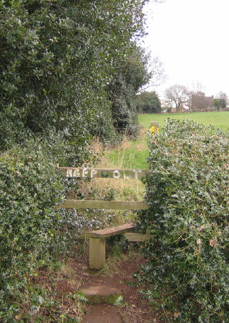
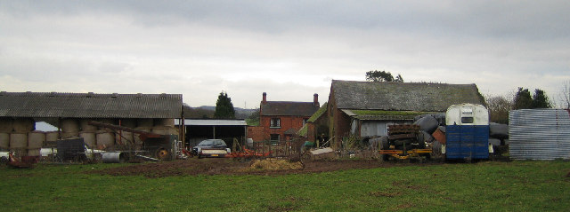
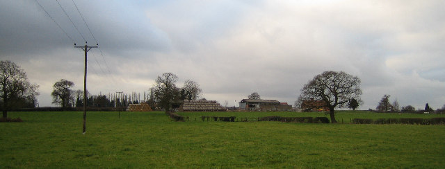
Newtown Images

Images are sourced within 2km of 52.491629/-1.6077051 or Grid Reference SP2688. Thanks to Geograph Open Source API. All images are credited.

Minor road off Green End Road
Railtour near Daw Mill West Coast Railway Class 33 No. 33025 brings up the rear of a Steam Dreams railtour to Worcester from London Euston.  The train is passing the site of the former Daw Mill colliery which closed in 2013 after a fire.
Railtour near Daw Mill
West Coast Railway Class 33 No. 33025 brings up the rear of a Steam Dreams railtour to Worcester from London Euston. The train is passing the site of the former Daw Mill colliery which closed in 2013 after a fire.
Daw Mill Colliery, nothing  much has changed in 6 years
Daw Mill Colliery, nothing much has changed in 6 years
Daw Mill Colliery Shafts
Tippers Hill Lane, land of the rich One of the more affordable houses on Tippers Hill Lane just outside of Arley. The story is of the man who brought Daweoo into the UK has a house here and he gave a young lad a house nearby as a present for doing odd jobs for him for years.
Tippers Hill Lane, land of the rich
One of the more affordable houses on Tippers Hill Lane just outside of Arley. The story is of the man who brought Daweoo into the UK has a house here and he gave a young lad a house nearby as a present for doing odd jobs for him for years.
Fillongley village and The Manor House A view into Fillongley village.  Fillongley is the site of 3 castles, unfortunately you need a map and luck to find the lumps in the grass that are all that's left.  Fillongley used to host moto-cross events in which, unless I'm very much mistaken, the great Murray Walker used to race!!
Fillongley village and The Manor House
A view into Fillongley village. Fillongley is the site of 3 castles, unfortunately you need a map and luck to find the lumps in the grass that are all that's left. Fillongley used to host moto-cross events in which, unless I'm very much mistaken, the great Murray Walker used to race!!
Daw Mill...behind the wire Located at Arley, near Coventry in the West Midlands, Daw Mill is Britain's biggest coal producer, mining a five-metre thick section of the Warwickshire Thick seam some 750 metres below the rolling Warwickshire countryside. A natural extension of the former Kingsbury and Dexter collieries which worked the coal in the northern end of the Warwickshire coalfield, the present Daw Mill shafts, 558m and 553m deep, were sunk between 1956-59 and 1969-71. In 1983, a drift (an inclined tunnel) linking underground workings with the surface was completed, enabling Daw Mill to increase production capacity by removing the bottleneck of winding coal up the shafts. Current investment plans involve the expenditure of around £35m in 2004/5 on accessing new reserves, the purchase of new coal face equipment and improvements to the colliery coal preparation plant. Output from Daw Mill, which employs 540 people, is used in all markets - domestic, industrial and power stations.
Daw Mill...behind the wire
Located at Arley, near Coventry in the West Midlands, Daw Mill is Britain's biggest coal producer, mining a five-metre thick section of the Warwickshire Thick seam some 750 metres below the rolling Warwickshire countryside. A natural extension of the former Kingsbury and Dexter collieries which worked the coal in the northern end of the Warwickshire coalfield, the present Daw Mill shafts, 558m and 553m deep, were sunk between 1956-59 and 1969-71. In 1983, a drift (an inclined tunnel) linking underground workings with the surface was completed, enabling Daw Mill to increase production capacity by removing the bottleneck of winding coal up the shafts. Current investment plans involve the expenditure of around £35m in 2004/5 on accessing new reserves, the purchase of new coal face equipment and improvements to the colliery coal preparation plant. Output from Daw Mill, which employs 540 people, is used in all markets - domestic, industrial and power stations.
"Keep Out" of The Heart of England Way Where the footpath crosses the road by Solomon's Temple Farm.
"Keep Out" of The Heart of England Way
Where the footpath crosses the road by Solomon's Temple Farm.
Solomon's Temple Farm Looking east from the Heart of England Way footpath.
Solomon's Temple Farm
Looking east from the Heart of England Way footpath.
High House Farm Looking NW from the Heart of England Way footpath.
High House Farm
Looking NW from the Heart of England Way footpath.
Stone House Farm Looking NW from the footpath by Dale Wood.
Stone House Farm
Looking NW from the footpath by Dale Wood.
Manor House Farm From the end of Pump Lane.
Manor House Farm
From the end of Pump Lane.
Home Farm and Fillongley Mount Looking east along the road from Manor House Farm.
Home Farm and Fillongley Mount
Looking east along the road from Manor House Farm.
Pump Lane The top of Pump Lane from Manor House Farm.
Pump Lane
The top of Pump Lane from Manor House Farm.
Entrance to Daw Mill Colliery The main gateway to the colliery near the SW corner of the square.
Entrance to Daw Mill Colliery
The main gateway to the colliery near the SW corner of the square.
Pond near Daw Mill Colliery The pond appears to be part of waste land reclamation, possibly former colliery waste site.
Pond near Daw Mill Colliery
The pond appears to be part of waste land reclamation, possibly former colliery waste site.
Blackhall Lane
Blackhall Lane
The Gatehouse to Fillongley Hall
Show me another place!

Newtown is located at Grid Ref: SP2688 (Lat: 52.491629, Lng: -1.6077051)

Administrative County: Warwickshire

District: North Warwickshire

Police Authority: Warwickshire

What 3 Words

///winter.relay.hunter. Near Keresley, West Midlands

Nearby Locations

Newtown

Related Wikis

Arley and Fillongley railway station

Arley and Fillongley railway station was a station on the Midland Railway, which operated in the Midland county of Warwickshire, in England. == History... ==

Fillongley

Fillongley, listed as Fillungeleye in 1135, is a village and civil parish in the North Warwickshire district of Warwickshire in England. The village is...
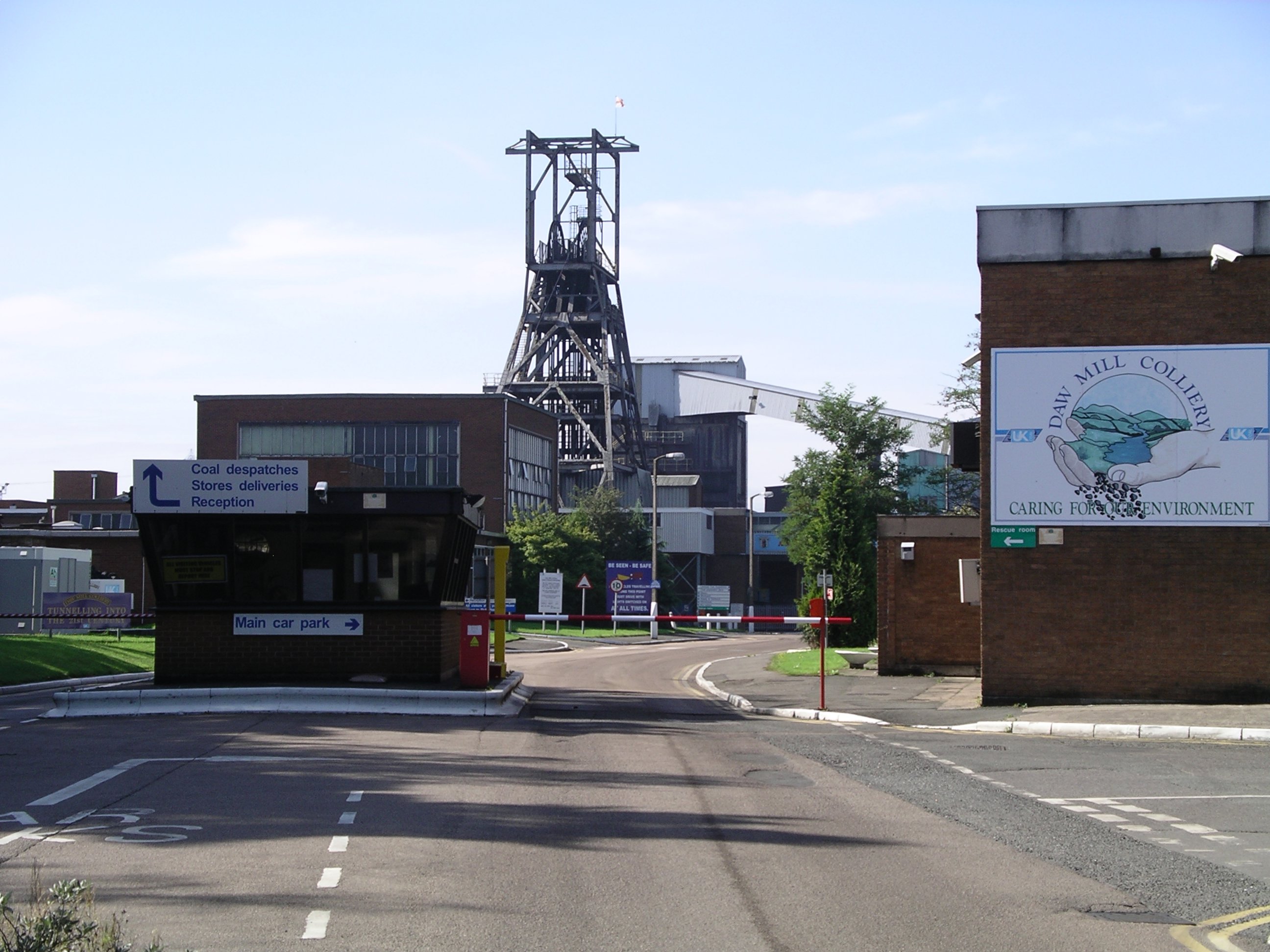
Daw Mill

Daw Mill was a coal mine located near the village of Arley, near Nuneaton, in the English county of Warwickshire. The mine was Britain's biggest coal producer...

Fillongley Castle

Fillongley Castle was a motte and bailey castle and later a fortified manor house in Fillongley in Warwickshire, England. Today, only earthworks and partial...

Nearby Amenities

Located within 500m of 52.491629,-1.6077051
Power: tower
Lat/Long: 52.495155/-1.6045436
Give Way
Source: Warwicks CC Aerial Imagery 2013
Lat/Long: 52.4893117/-1.6031181
Barrier: kissing_gate
Lat/Long: 52.4888489/-1.6019963
Barrier: kissing_gate
Lat/Long: 52.4924396/-1.6142373
Barrier: kissing_gate
Lat/Long: 52.49251/-1.6142012
Give Way
Source: Warwicks CC Aerial Imagery 2013
Lat/Long: 52.4892482/-1.6028613
The data included in this document is from www.openstreetmap.org. The data is made available under ODbL.

Have you been to Newtown?

Leave your review of Newtown below (or comments, questions and feedback).