Queensland
Settlement in Hampshire
England
Queensland

Queensland is a small village located in the county of Hampshire, England. Situated in the South East of the country, it is nestled within the picturesque countryside and is renowned for its natural beauty and charming rural atmosphere. The village is set in close proximity to the city of Southampton, providing residents with convenient access to urban amenities while still enjoying a tranquil setting.
Queensland is known for its idyllic landscapes, featuring rolling green hills, meandering rivers, and dense woodlands. This makes it an ideal destination for nature enthusiasts and outdoor activities such as hiking, cycling, and wildlife spotting. The village is also home to several parks and open spaces, offering ample opportunities for recreation and relaxation.
Despite its small size, Queensland has a close-knit community that takes pride in preserving its rich history and heritage. The village boasts a number of well-preserved historic buildings, including a beautiful Norman church that dates back to the 12th century. Additionally, there are several traditional pubs and local shops that contribute to the village's charming character.
Queensland benefits from good transportation links, with regular bus services connecting it to neighboring towns and cities. This allows residents to easily access a range of amenities, including schools, healthcare facilities, and shopping centers.
Overall, Queensland offers a peaceful and scenic living environment, making it an attractive place for those seeking a tranquil countryside lifestyle within reach of urban conveniences.
If you have any feedback on the listing, please let us know in the comments section below.
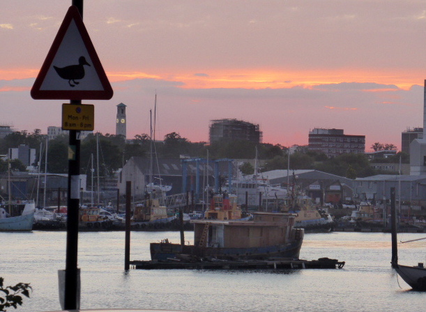
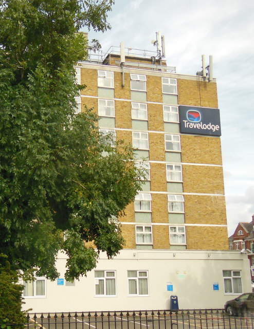
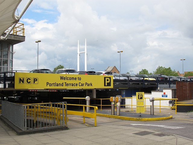
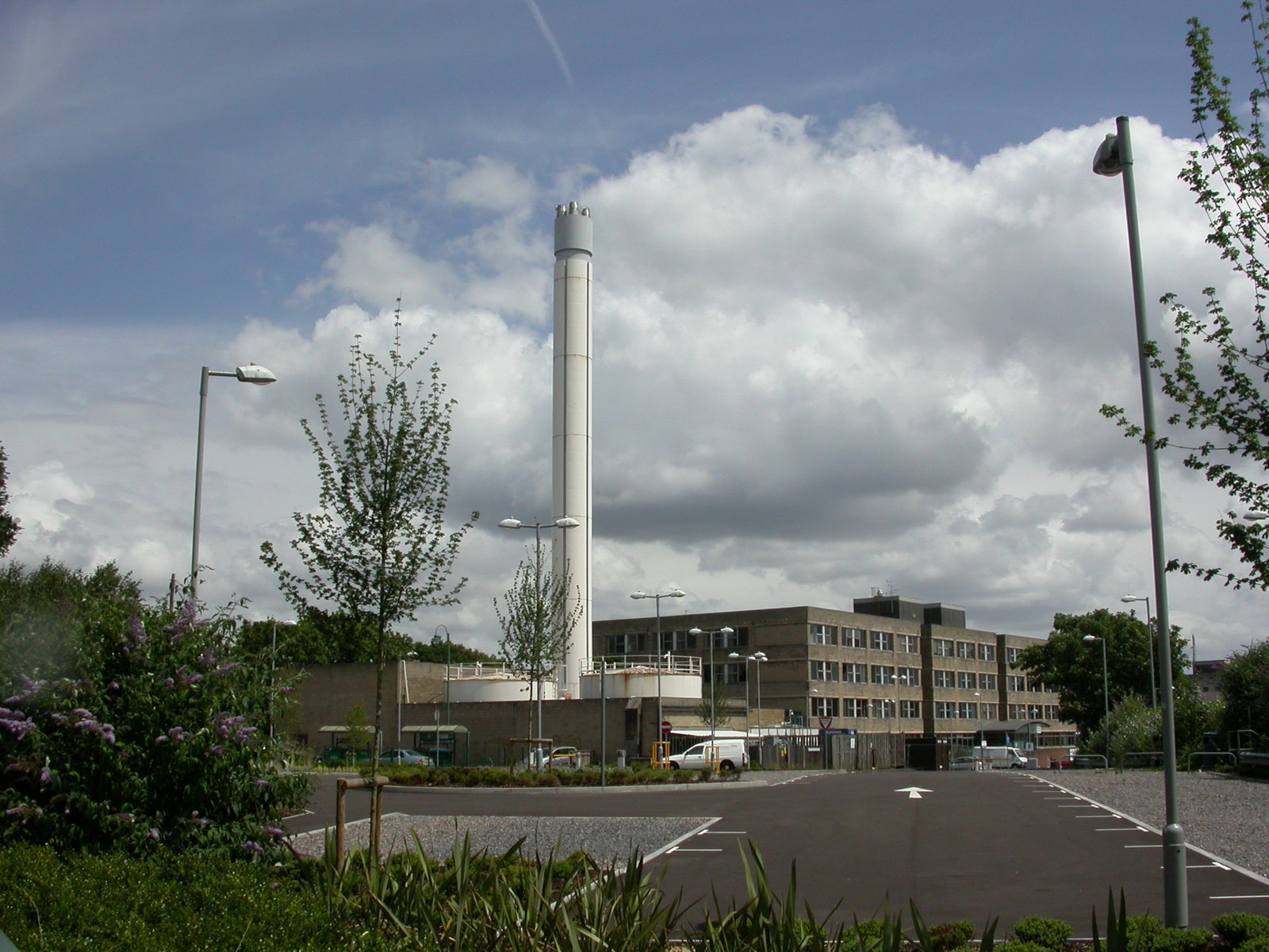
Queensland Images
Images are sourced within 2km of 50.910786/-1.394744 or Grid Reference SU4212. Thanks to Geograph Open Source API. All images are credited.


Queensland is located at Grid Ref: SU4212 (Lat: 50.910786, Lng: -1.394744)
Unitary Authority: Southampton
Police Authority: Hampshire
What 3 Words
///rams.maker.statue. Near Southampton, Hampshire
Nearby Locations
Related Wikis

Nicholstown
Nicholstown-Newtown (usually called Nicholstown or Newtown) is a small area to the north-east of Southampton's city centre. To the north is Bevois Valley...
Royal South Hants Hospital
The Royal South Hants Hospital, known locally as "The RSH", is a community hospital in Southampton. It is managed by NHS Property Services. == History... ==

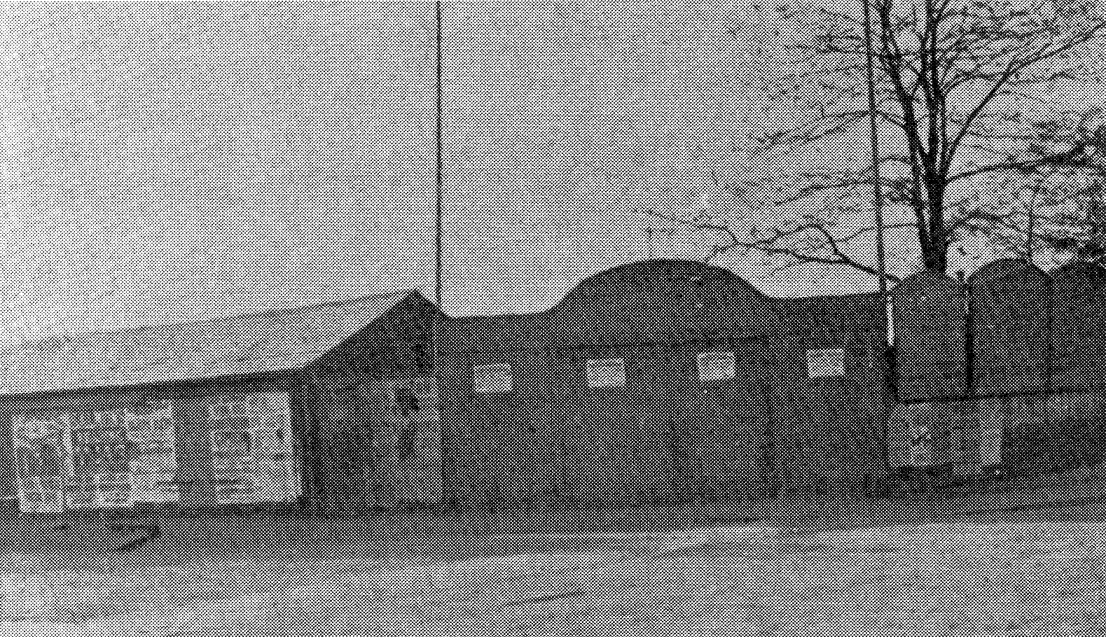
Northam Traincare Facility
Northam Traincare Facility, also known as Northam Carriage Servicing Depot, is an electric traction maintenance depot in the suburb of Northam in Southampton...

Northam, Southampton
Northam is a suburb of Southampton in Hampshire. On the West bank of the River Itchen, it shares borders with St Mary's, Bitterne and Bevois Valley. Beside...

St Mary's Road drill hall, Southampton
The St Mary's Road drill hall is a former military installation in Southampton. It is a Grade II listed building. == History == The building was designed...
Antelope Ground
The Antelope Ground, Southampton was a sports ground that was the first home of both Hampshire County Cricket Club, who played there prior to 1884, and...
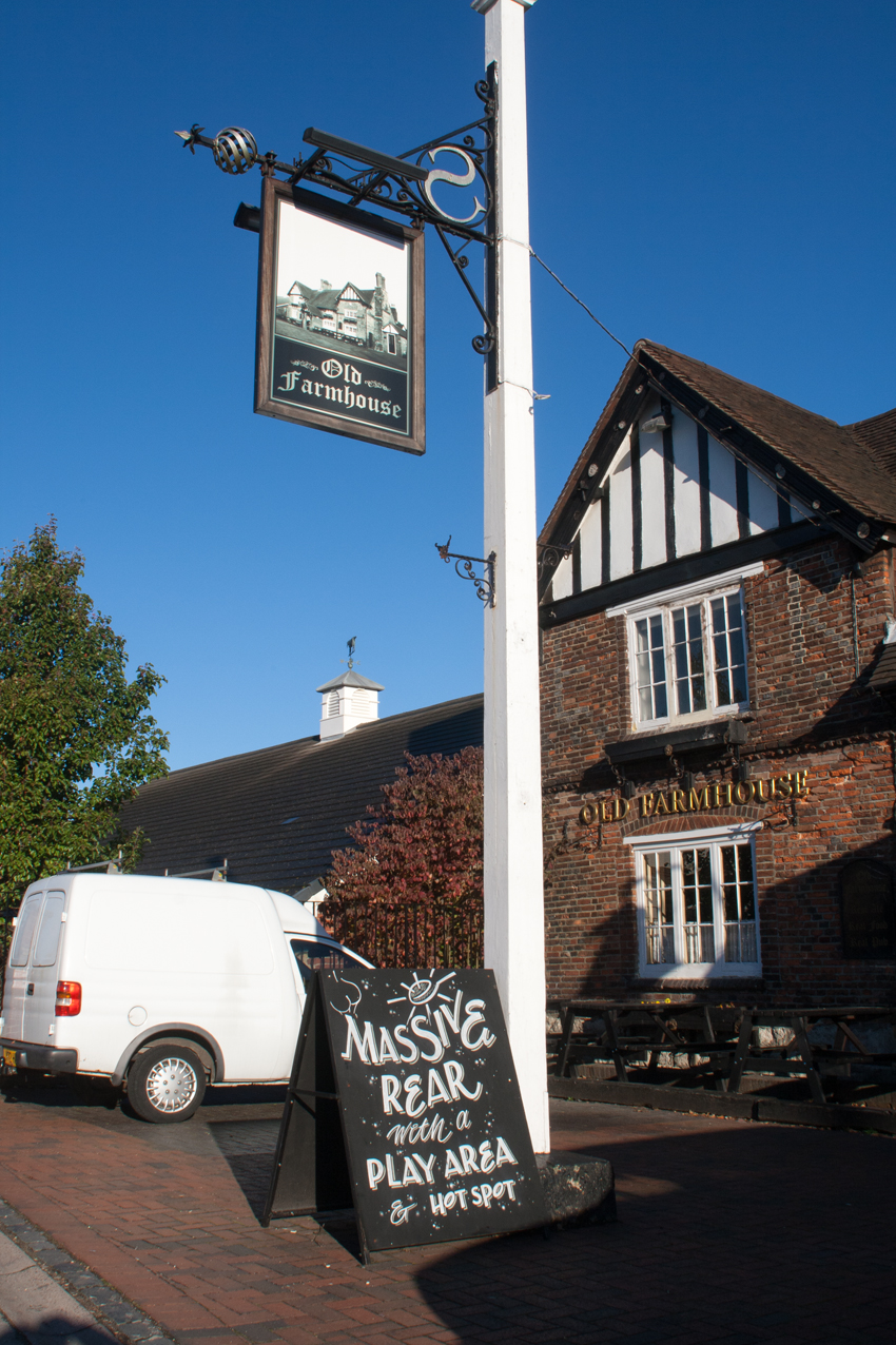
Old Farmhouse, Southampton
The Old Farmhouse is a Grade II* listed pub which was originally a farmhouse, and dates back to at least 1560. It was rebuilt in 1611 and converted to...
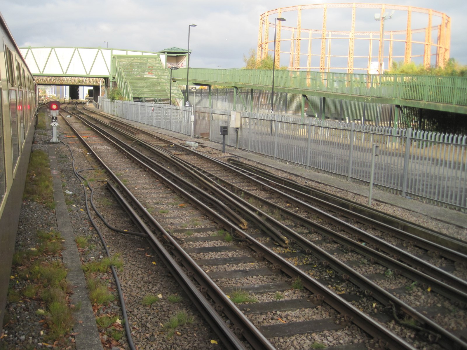
Northam railway station (Hampshire)
Northam railway station served the suburb of Northam in Southampton, England. == History == The London and Southampton Railway (L&SR) was opened in stages...
Nearby Amenities
Located within 500m of 50.910786,-1.394744Have you been to Queensland?
Leave your review of Queensland below (or comments, questions and feedback).