Mount Pleasant
Settlement in Gloucestershire Stroud
England
Mount Pleasant
![Finger Post, Walkley Hill, Stroud In the parish of Rodborough opposite the "Prince Albert" pub. To the right is Dudbridge (board read Gloucester 13in 2011), to the left is Minchinhampton and towards the camera (North) is down Rodborough Hill to Stroud.
View prior to 2015 is <a href="https://www.geograph.org.uk/photo/7676215">SO8404 : Finger Post, Walkley Hill, Stroud</a>.
Inscription (was): [Minchinhampton / Cirencester] // [Stroud] // Cainscross 1 / Gloucester 13
Milestone Society National ID: tbc](https://s1.geograph.org.uk/geophotos/07/67/43/7674397_302957a0.jpg)
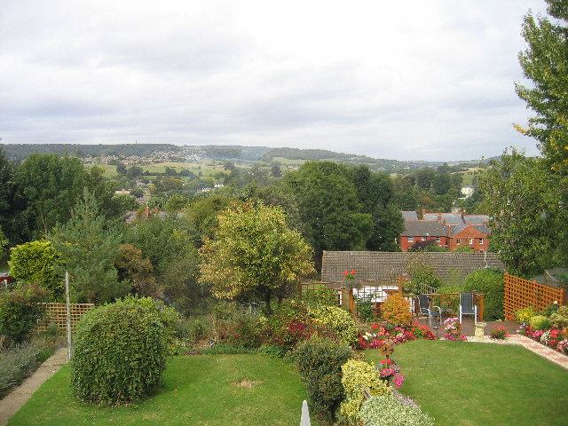
Mount Pleasant is a small village located in the county of Gloucestershire, England. Situated approximately 10 miles north of the city of Bristol, it is nestled in the picturesque Cotswold Hills. With a population of around 500 residents, the village offers a peaceful and close-knit community.
The village is characterized by its charming traditional English architecture, with many houses dating back to the 17th and 18th centuries. The local stone, known as Cotswold stone, gives the buildings a distinctive honey-colored appearance. The village is surrounded by rolling hills and lush green countryside, providing stunning views and ample opportunities for outdoor activities such as hiking and cycling.
Despite its small size, Mount Pleasant has a few amenities to offer its residents. There is a local pub, The Mount Inn, which serves traditional British food and ales. The village also has a primary school and a village hall, which hosts various community events throughout the year. Additionally, a small convenience store caters to the daily needs of residents.
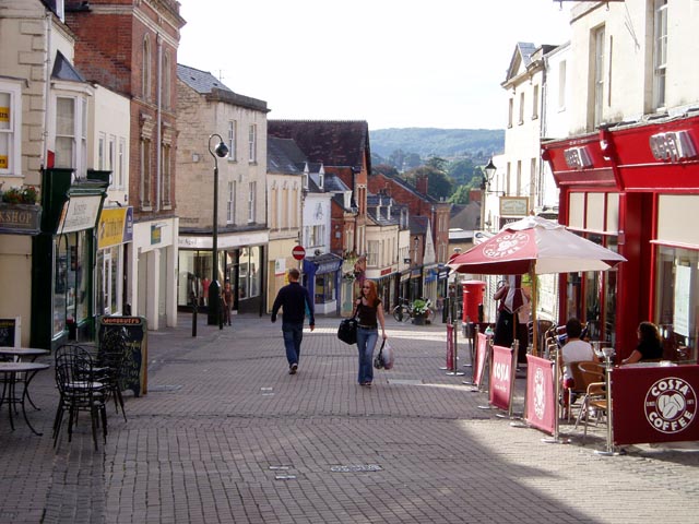
The village is well-connected to surrounding areas, with regular bus services providing easy access to nearby towns and cities. The larger town of Stroud is just a short drive away, offering a wider range of amenities and services.
Overall, Mount Pleasant is a tranquil and scenic village, perfect for those seeking a peaceful countryside lifestyle while still being within reach of larger urban centers.
If you have any feedback on the listing, please let us know in the comments section below.
Mount Pleasant Images
Images are sourced within 2km of 51.741628/-2.2034225 or Grid Reference SO8604. Thanks to Geograph Open Source API. All images are credited.


Mount Pleasant is located at Grid Ref: SO8604 (Lat: 51.741628, Lng: -2.2034225)
Administrative County: Gloucestershire
District: Stroud
Police Authority: Gloucestershire
What 3 Words
///centrally.classed.object. Near Stroud, Gloucestershire
Nearby Locations
Related Wikis
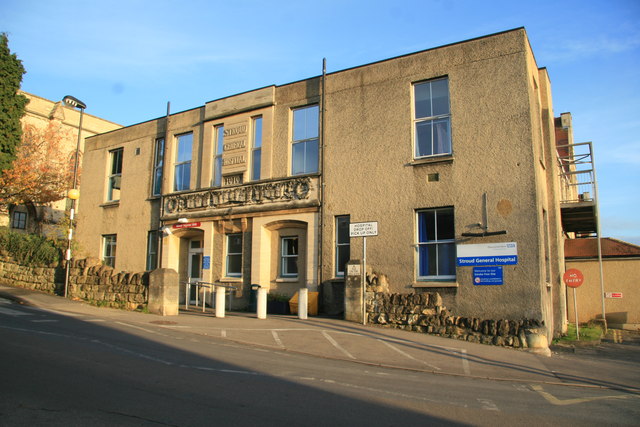
Stroud General Hospital
Stroud General Hospital is a health facility in Trinity Road in Stroud, Gloucestershire, England. It is managed by Gloucestershire Health and Care NHS...

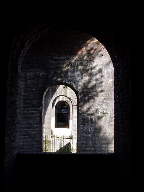
Bowbridge Crossing Halt railway station
Bowbridge Crossing Halt was opened on 1 May 1905 on what is now the Golden Valley Line between Kemble and Stroud. This line was opened in 1845 as the Cheltenham...

Blackboy Clock
The Blackboy Clock is a clock in Stroud, Gloucestershire, England. It is a jacquemart (Jack clock), with a Black boy figurine with a club that strikes...

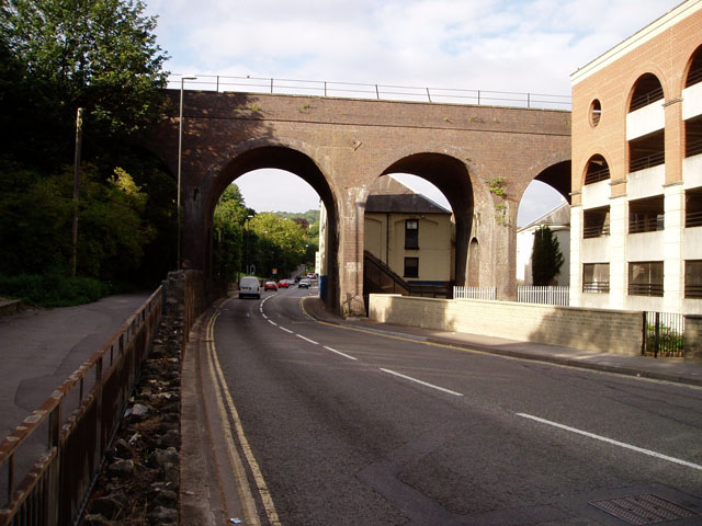
Stroud
Stroud is a market town and civil parish in Gloucestershire, England. It is the main town in Stroud District. The town's population was 13,500 in 2021...

Rodborough
Rodborough is a large village and civil parish in the district of Stroud, Gloucestershire, in South West England. It is directly south of the town of Stroud...

Five Valleys
The Five Valleys are a group of valleys in Gloucestershire, England, which converge on the town of Stroud at the western edge of the Cotswolds. The Five...

Frome Banks
Frome Banks (grid reference SO851048) is a 1.3-hectare (3.2-acre) nature reserve in Gloucestershire.The site is managed by the Gloucestershire Wildlife...

Old Town Hall, Stroud
The Old Town Hall is a municipal building in The Shambles, Stroud, Gloucestershire, England. The town hall, which was the headquarters of Stroud Urban...
Nearby Amenities
Located within 500m of 51.741628,-2.2034225Have you been to Mount Pleasant?
Leave your review of Mount Pleasant below (or comments, questions and feedback).