Mount Pleasant

Settlement in Gloucestershire Forest of Dean

England

Mount Pleasant

Cycleway and former railway Cycleway and former railway trackbed passing through Crabtreehill Plantation in the Forest of Dean.
Cycleway and former railway Credit: Philip Halling

Mount Pleasant is a charming village located in the county of Gloucestershire, England. Situated approximately six miles south-west of Gloucester, it is nestled in the Cotswolds Area of Outstanding Natural Beauty, providing residents and visitors with stunning views and a peaceful atmosphere.

The village is characterized by its traditional Cotswold stone houses and well-maintained gardens, giving it a picturesque and idyllic feel. It boasts a close-knit community, with a population of around 500 people, contributing to its friendly and welcoming atmosphere.

Despite its small size, Mount Pleasant offers a range of amenities to its residents. The village has a primary school, providing education for local children. Additionally, there is a village hall that serves as a hub for various community activities and events, including social gatherings, clubs, and meetings.

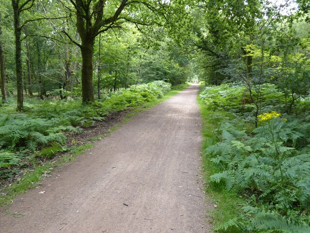
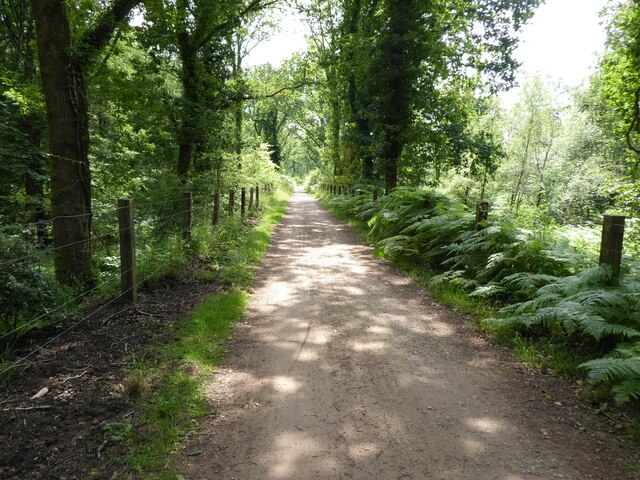
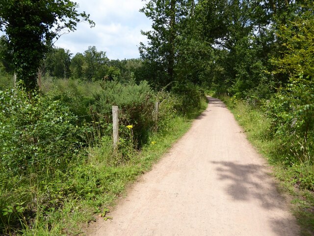
Nature enthusiasts will find plenty to explore in the surrounding area. The village is surrounded by rolling hills and lush countryside, offering opportunities for countryside walks, hiking, and cycling. There are also several nearby nature reserves and parks where visitors can spot various wildlife species and enjoy the tranquility of the natural surroundings.

For those seeking a taste of history, Mount Pleasant is conveniently located near several historic sites and landmarks. The nearby city of Gloucester boasts a rich history, with attractions such as Gloucester Cathedral, Gloucester Docks, and the ruins of St. Oswald's Priory.

Overall, Mount Pleasant is a delightful village that offers a peaceful and picturesque living environment, making it an ideal place to reside or visit for those seeking a tranquil escape in the beautiful Gloucestershire countryside.

If you have any feedback on the listing, please let us know in the comments section below.

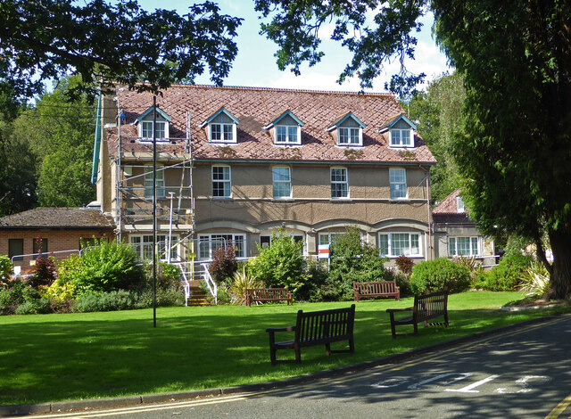
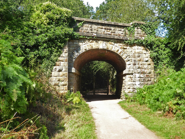
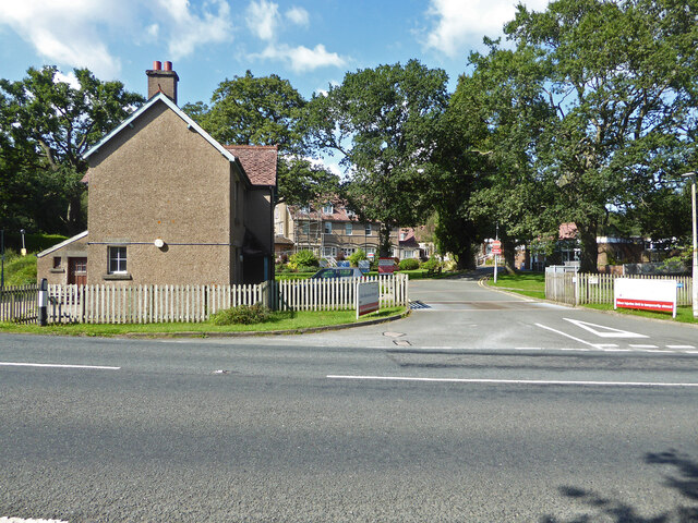
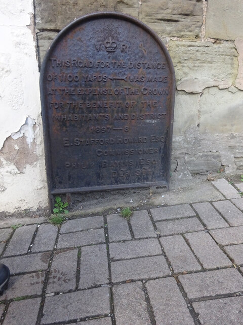
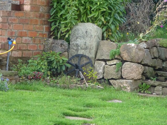
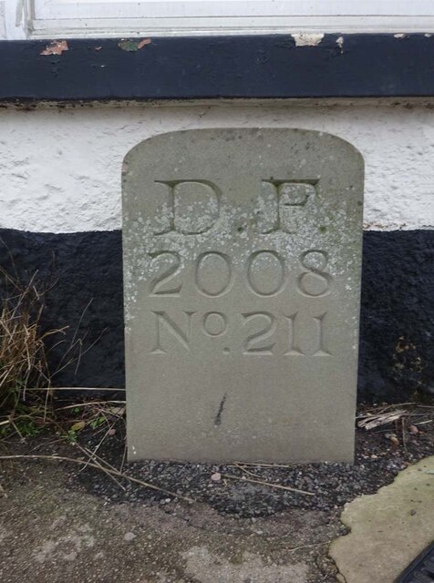
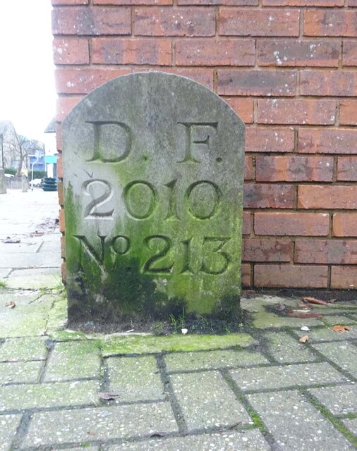
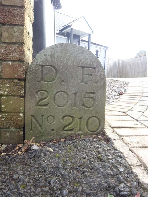
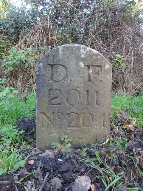
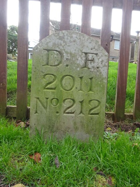
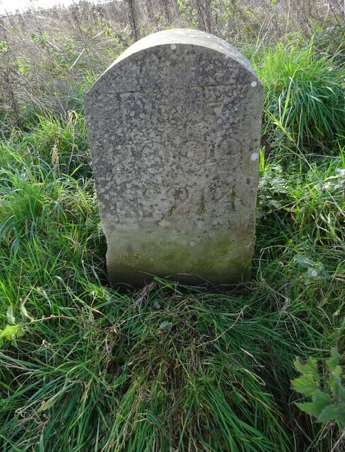
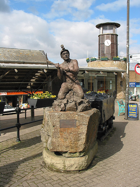
Mount Pleasant Images

Images are sourced within 2km of 51.819227/-2.4969459 or Grid Reference SO6513. Thanks to Geograph Open Source API. All images are credited.

Cycleway and former railway Cycleway and former railway trackbed passing through Crabtreehill Plantation in the Forest of Dean.
Cycleway and former railway
Cycleway and former railway trackbed passing through Crabtreehill Plantation in the Forest of Dean.
Cycleway passing through Crabtreehill Plantation Cycleway on a former railway trackbed passing through Crabtreehill Plantation.
Cycleway passing through Crabtreehill Plantation
Cycleway on a former railway trackbed passing through Crabtreehill Plantation.
Cycleway near Dilke Hospital Cycleway and former railway trackbed near Dilke Hospital in the Forest of Dean.
Cycleway near Dilke Hospital
Cycleway and former railway trackbed near Dilke Hospital in the Forest of Dean.
Dilke Hospital Dilke Memorial Hospital opened in 1921 and is named after Sir Charles Dilke, 2nd Baronet who was a Liberal MP for the Forest of Dean and died in 1911.
Dilke Hospital
Dilke Memorial Hospital opened in 1921 and is named after Sir Charles Dilke, 2nd Baronet who was a Liberal MP for the Forest of Dean and died in 1911.
Dilke Memorial Hospital near Cinderford
Remains of Foxes Bridge Colliery near Cinderford Some large lumps of masonry adjoining a cycle trail through the site. There are other interesting foundations and the remains of a pumping bob nearby but they do take a little hunting for.
Remains of Foxes Bridge Colliery near Cinderford
Some large lumps of masonry adjoining a cycle trail through the site. There are other interesting foundations and the remains of a pumping bob nearby but they do take a little hunting for.
Dilke Bridge near Cinderford Carrying Speech House Road over a former railway line that is now a cycleway and foot path.
Dilke Bridge near Cinderford
Carrying Speech House Road over a former railway line that is now a cycleway and foot path.
Entrance to Dilke Memorial Hospital
Grassy track, Forest of Dean near Cinderford
Track in the Forest of Dean near Cinderford
Commemorative Plate, Cinderford On the wall of a house where Market and Victoria Streets concatenate.

Grade II Listed, details <span class="nowrap"><a title="https://historicengland.org.uk/listing/the-list/list-entry/1186466" rel="nofollow ugc noopener" href="https://historicengland.org.uk/listing/the-list/list-entry/1186466">Link</a><img style="margin-left:2px;" alt="External link" title="External link - shift click to open in new window" src="https://s1.geograph.org.uk/img/external.png" width="10" height="10"/></span>.

Inscription:
V (crown) R
This road for the distance
of 1100 ↢ yards was made
at the expense of the crown
for the benefit of the
inhabitants and district
1897 - 8
E.Stafford Howard Esq
Commissioner
Philip Baylis Esq
Dep Surveyor

Milestone Society National ID: GL_CIND05cm
Commemorative Plate, Cinderford
On the wall of a house where Market and Victoria Streets concatenate. Grade II Listed, details LinkExternal link. Inscription: V (crown) R This road for the distance of 1100 ↢ yards was made at the expense of the crown for the benefit of the inhabitants and district 1897 - 8 E.Stafford Howard Esq Commissioner Philip Baylis Esq Dep Surveyor Milestone Society National ID: GL_CIND05cm
Old Boundary Stone, Littledean Hill In the private garden of "Oak Ridge" in the Ruffitt. An original 1832 Forest of Dean boundary marker. 

Inscription: D.F / 1832 / Nᴼ. 209

Milestone Society National ID: GL_DFCINLIT209em
Old Boundary Stone, Littledean Hill
In the private garden of "Oak Ridge" in the Ruffitt. An original 1832 Forest of Dean boundary marker. Inscription: D.F / 1832 / Nᴼ. 209 Milestone Society National ID: GL_DFCINLIT209em
Boundary Stone, Cinderford On the corner of Littledean Hill Road, and the chamfered corner of the former Royal Forrester pub. Technically on private land but effectively just off the road.
The context view of the ex pub is <a href="https://www.geograph.org.uk/photo/4430088">SO6614 : Former Royal Forester, Cinderford</a>

Inscription: D.F / 2008 / Nᴼ. 211

Milestone Society National ID: GL_DFCINLIT211em
Boundary Stone, Cinderford
On the corner of Littledean Hill Road, and the chamfered corner of the former Royal Forrester pub. Technically on private land but effectively just off the road. The context view of the ex pub is SO6614 : Former Royal Forester, Cinderford Inscription: D.F / 2008 / Nᴼ. 211 Milestone Society National ID: GL_DFCINLIT211em
Boundary Stone, Cinderford In the High Street where the line of the row of shops kinks, near the pedestrian crossing.

Inscription: D.F / 2010 / Nᴼ. 213

Milestone Society National ID: GL_DFCIND213em
Boundary Stone, Cinderford
In the High Street where the line of the row of shops kinks, near the pedestrian crossing. Inscription: D.F / 2010 / Nᴼ. 213 Milestone Society National ID: GL_DFCIND213em
Boundary Stone, Littledean Hill On the Southern side of the road (the Ruffitt) in the driveway of "Stone Cottage".

Inscription: D.F / 2015 / Nᴼ. 210

Milestone Society National ID: GL_DFCINLIT210em
Boundary Stone, Littledean Hill
On the Southern side of the road (the Ruffitt) in the driveway of "Stone Cottage". Inscription: D.F / 2015 / Nᴼ. 210 Milestone Society National ID: GL_DFCINLIT210em
Boundary Stone, Denton's Corner In the junction of the A4151 Elton Road with the Slad and Greenway. In the parish of Littledean near Littledean Jail.

Inscription: D.F / 2011 / Nᴼ. 204

Milestone Society National ID: GL_DFLITT204em
Boundary Stone, Denton's Corner
In the junction of the A4151 Elton Road with the Slad and Greenway. In the parish of Littledean near Littledean Jail. Inscription: D.F / 2011 / Nᴼ. 204 Milestone Society National ID: GL_DFLITT204em
Boundary Stone, Cinderford On the corner of Edge Hills Road and Causeway Road. Just to confuse, the houses above are addressed as being in Wedgewood Crescent. Including 9 and 10, clearly in Edge Hills Road.

Inscription: D.F. / 2011 / Nᴼ. 212

Milestone Society National ID: GL_DFCIND212em
Boundary Stone, Cinderford
On the corner of Edge Hills Road and Causeway Road. Just to confuse, the houses above are addressed as being in Wedgewood Crescent. Including 9 and 10, clearly in Edge Hills Road. Inscription: D.F. / 2011 / Nᴼ. 212 Milestone Society National ID: GL_DFCIND212em
Boundary Stone, Cinderford Technically in the modern parish of Ruspidge and Soudley. Cinderford is the Northern side of the road.

Inscription: D.F / 2015 / Nᴼ. 214

Milestone Society National ID: GL_DFRUSU214em
Boundary Stone, Cinderford
Technically in the modern parish of Ruspidge and Soudley. Cinderford is the Northern side of the road. Inscription: D.F / 2015 / Nᴼ. 214 Milestone Society National ID: GL_DFRUSU214em
Show me another place!

Mount Pleasant is located at Grid Ref: SO6513 (Lat: 51.819227, Lng: -2.4969459)

Administrative County: Gloucestershire

District: Forest of Dean

Police Authority: Gloucestershire

What 3 Words

///locate.scanty.executive. Near Cinderford, Gloucestershire

Nearby Locations

Mount Pleasant

Related Wikis

Cinderford

Cinderford is a town and civil parish on the eastern fringe of the Forest of Dean in Gloucestershire, England. The population was 8,777 at the 2021 Census...

Cinderford Town A.F.C.

Cinderford Town Association Football Club is a football club based in Cinderford in Gloucestershire, England. Affiliated to the Gloucestershire County...

Cinderford New railway station

Cinderford New railway station was a disused railway station that was opened by the former Severn and Wye Railway to serve the mining town of Cinderford...

Cinderford Ironworks

Cinderford Ironworks, also known as Cinderford Furnace, was a coke-fired blast furnace, built in 1795, just west of Cinderford, in the Forest of Dean,...

The Forest High School, Cinderford

Forest High School is a coeducational secondary school with academy status, located in Cinderford in the English county of Gloucestershire.The school was...

Ruspidge Halt railway station

Ruspidge Halt railway station is a disused railway station opened by the Great Western Railway (GWR) on the former Bullo Pill Railway, later known as the...

Bilson Halt railway station

Bilson Halt railway station is a disused railway station opened on the former Bullo Pill Railway, later known as the Great Western Railway Forest of Dean...

Buckshraft Mine & Bradley Hill Railway Tunnel

Buckshaft Mine & Bradley Hill Railway Tunnel (SO655121 and SO662104) is a 5.66-hectare (14.0-acre) biological Site of Special Scientific Interest in Gloucestershire...

Nearby Amenities

Located within 500m of 51.819227,-2.4969459
Bus Stop
Abbots Road
Bus: yes
Naptan AtcoCode: 1600GL1205
Naptan Bearing: NW
Naptan CommonName: The Barn
Naptan NaptanCode: gloajpam
Naptan Street: Belle Vue Rd
Naptan Verified: no
Public Transport: platform
Source: naptan_import
Lat/Long: 51.8187845/-2.4936361
Bus Stop
Abbots Road
Bus: yes
Naptan AtcoCode: 1600GL1206
Naptan Bearing: SE
Naptan CommonName: The Barn
Naptan NaptanCode: gloajpaw
Naptan Street: Belle Vue Rd
Naptan Verified: no
Public Transport: platform
Source: naptan_import
Lat/Long: 51.8185252/-2.4932851
Bus Stop
Library
Naptan AtcoCode: 1600GL1207
Naptan Bearing: NW
Naptan CommonName: Library
Naptan Indicator: Opp
Naptan NaptanCode: gloajmtg
Naptan Street: Belle Vue Rd
Naptan Verified: no
Source: naptan_import
Lat/Long: 51.8234332/-2.4978657
Bus Stop
Library
Naptan AtcoCode: 1600GL1208
Naptan Bearing: SE
Naptan CommonName: Library
Naptan NaptanCode: gloajmtj
Naptan Street: Belle Vue Rd
Naptan Verified: no
Source: naptan_import
Lat/Long: 51.823604/-2.4978676
Bus Stop
Flaxley St
Naptan AtcoCode: 1600GL1217
Naptan Bearing: S
Naptan CommonName: Flaxley St
Naptan NaptanCode: gloajmgt
Naptan Street: Church Rd
Naptan Verified: no
Source: naptan_import
Lat/Long: 51.8200584/-2.5006867
Bus Stop
Flaxley St
Naptan AtcoCode: 1600GL1218
Naptan Bearing: N
Naptan CommonName: Flaxley St
Naptan Indicator: Opp
Naptan NaptanCode: gloajmgp
Naptan Street: Church Rd
Naptan Verified: no
Source: naptan_import
Lat/Long: 51.8197697/-2.5009156
Bus Stop
The Barn
Naptan AtcoCode: 1600GL1231
Naptan Bearing: SW
Naptan CommonName: The Barn
Naptan NaptanCode: gloajpdm
Naptan Street: Littledean Hill Rd
Naptan Verified: no
Source: naptan_import
Lat/Long: 51.8184997/-2.4929366
Bus Stop
The Barn
Naptan AtcoCode: 1600GL1232
Naptan Bearing: NE
Naptan CommonName: The Barn
Naptan NaptanCode: gloajpdg
Naptan Street: Littledean Hill Rd
Naptan Verified: no
Source: naptan_import
Lat/Long: 51.8186343/-2.4929961
Bus Stop
Dockham Rd
Naptan AtcoCode: 1600GL1236
Naptan Bearing: SW
Naptan CommonName: Dockham Rd
Naptan NaptanCode: gloajpaj
Naptan Street: Meadow Rd
Naptan Verified: no
Source: naptan_import
Lat/Long: 51.8231732/-2.494491
Bus Stop
Mount Pleasant
Naptan AtcoCode: 1600GL1238
Naptan Bearing: E
Naptan CommonName: Mount Pleasant
Naptan NaptanCode: gloajmwp
Naptan Street: St White's Rd
Naptan Verified: no
Source: naptan_import
Lat/Long: 51.8167108/-2.4949917
Bus Stop
College Rd
Naptan AtcoCode: 1600GL1257
Naptan Bearing: SW
Naptan CommonName: College Rd
Naptan Indicator: Opp
Naptan NaptanCode: gloajmgj
Naptan Street: Victoria St
Naptan Verified: no
Source: naptan_import
Lat/Long: 51.8218804/-2.5014469
Bus Stop
College Rd
Naptan AtcoCode: 1600GL1258
Naptan Bearing: NE
Naptan CommonName: College Rd
Naptan NaptanCode: gloajmgm
Naptan Street: Victoria St
Naptan Verified: no
Source: naptan_import
Lat/Long: 51.8220245/-2.5013904
Bus Stop
Meendhurst Rd
Naptan AtcoCode: 1600GLA36733
Naptan Bearing: S
Naptan CommonName: Meendhurst Rd
Naptan Indicator: Opp
Naptan NaptanCode: glogmjtm
Naptan Street: Church Rd
Naptan Verified: no
Source: naptan_import
Lat/Long: 51.8190498/-2.5010672
Bus Stop
St Stephen's Church
Naptan AtcoCode: 1600GLF185
Naptan Bearing: NW
Naptan CommonName: St Stephen's Church
Naptan Indicator: Opp
Naptan NaptanCode: gloajmwg
Naptan Street: Belle Vue Rd
Naptan Verified: no
Source: naptan_import
Lat/Long: 51.8217579/-2.4964254
Bus Stop
St Stephen's Church
Naptan AtcoCode: 1600GLF186
Naptan Bearing: SE
Naptan CommonName: St Stephen's Church
Naptan NaptanCode: gloajmwj
Naptan Street: Belle Vue Rd
Naptan Verified: no
Source: naptan_import
Lat/Long: 51.8217136/-2.4962653
Bus Stop
Victoria St
Naptan AtcoCode: 1600GLF273
Naptan Bearing: SE
Naptan CommonName: Victoria St
Naptan NaptanCode: gloajgwm
Naptan Street: Somerset Rd
Naptan Verified: no
Source: naptan_import
Lat/Long: 51.8194962/-2.5039158
Bus Stop
Victoria St
Naptan AtcoCode: 1600GLF274
Naptan Bearing: N
Naptan CommonName: Victoria St
Naptan NaptanCode: gloajgwj
Naptan Street: Somerset Rd
Naptan Verified: no
Source: naptan_import
Lat/Long: 51.8195226/-2.5040322
Bus Stop
Baptist Church
Naptan AtcoCode: 1600GLF285
Naptan Bearing: S
Naptan CommonName: Baptist Church
Naptan Indicator: Opp
Naptan NaptanCode: gloajmjg
Naptan Street: Commercial St
Naptan Verified: no
Source: naptan_import
Lat/Long: 51.8220028/-2.5001569
Bus Stop
Stockwell Green
Naptan AtcoCode: 1600GLF289
Naptan Bearing: S
Naptan CommonName: Stockwell Green
Naptan NaptanCode: gloajmat
Naptan Street: Church Rd
Naptan Verified: no
Source: naptan_import
Lat/Long: 51.8165618/-2.5025629
Bus Stop
Stockwell Green
Naptan AtcoCode: 1600GLF290
Naptan Bearing: N
Naptan CommonName: Stockwell Green
Naptan Indicator: Opp
Naptan NaptanCode: gloajmdj
Naptan Street: Church Rd
Naptan Verified: no
Source: naptan_import
Lat/Long: 51.816904/-2.5024507
Bus Stop
Somerset Rd
Naptan AtcoCode: 1600GLF853
Naptan Bearing: SW
Naptan CommonName: Somerset Rd
Naptan Indicator: Opp
Naptan NaptanCode: glogjwpm
Naptan Street: Victoria St
Naptan Verified: no
Source: naptan_import
Lat/Long: 51.8196334/-2.503366
Bus Stop
Somerset Rd
Naptan AtcoCode: 1600GLF854
Naptan Bearing: NE
Naptan CommonName: Somerset Rd
Naptan NaptanCode: glogjwpt
Naptan Street: Victoria St
Naptan Verified: no
Source: naptan_import
Lat/Long: 51.8191177/-2.5041002
Cinema
The Palace
Phone: +44 1594 822555
Website: https://cinderpal.com/
Wikidata: Q41487009
Lat/Long: 51.8234381/-2.4980644
Pub
Mount Pleasant
Addr City: Cinderford
Addr Postcode: GL14 3DA
Addr Street: St White's Road
Fhrs Id: 9635
Lat/Long: 51.816889/-2.4957859
Give Way
Direction: forward
Lat/Long: 51.8160664/-2.4955001
Pub
Nags Head
Addr City: Cinderford
Addr Postcode: GL14 2ED
Addr Street: Church Road
Fhrs Id: 767899
Lat/Long: 51.8177751/-2.502036
Corner Shop
Shop: convenience
Lat/Long: 51.8202301/-2.4978447
Barrier: stile
Lat/Long: 51.8194992/-2.4923091
Give Way
Direction: backward
Lat/Long: 51.8213432/-2.4986254
Give Way
Direction: forward
Lat/Long: 51.8213488/-2.4987839
Post Box
Operator: Royal Mail
Post Box Type: lamp
Lat/Long: 51.8197295/-2.5009453
Post Box
Operator: Royal Mail
Post Box Type: wall
Lat/Long: 51.8168512/-2.5023535
Post Box
Operator: Royal Mail
Post Box Type: lamp
Lat/Long: 51.8169109/-2.4953073
Arts Centre
Artspace Cinderford
Lat/Long: 51.823593/-2.4984535
The Locksmiths & Security Centre
Shop: locksmith
Lat/Long: 51.8236198/-2.4981521
Gwyn James
Office: lawyer
Lat/Long: 51.8236761/-2.4975516
Cafe
Muzo’s Cafe Bar & Restaurant
Lat/Long: 51.8236544/-2.4974311
Telephone
Booth: K6
Covered: booth
Phone: +44 1594 823160
Lat/Long: 51.8230045/-2.4982758
Post Box
Post Box Type: wall
Lat/Long: 51.8230378/-2.4982619
Entrance: main
Lat/Long: 51.8231147/-2.4982643
Entrance: exit
Lat/Long: 51.8229381/-2.4982273
Traffic Mirror
Lat/Long: 51.8227809/-2.4982457
Give Way
Lat/Long: 51.8228369/-2.4982554
The data included in this document is from www.openstreetmap.org. The data is made available under ODbL.

Have you been to Mount Pleasant?

Leave your review of Mount Pleasant below (or comments, questions and feedback).