Maryfield

Settlement in Angus

Scotland

Maryfield

Murals in Cragie St Have a closer Look at <a href="https://www.geograph.org.uk/photo/7762939">NO4131 : Mural by Lauren Mosley in Cragie St</a> 
and <a href="https://www.geograph.org.uk/photo/7762932">NO4131 : Mural by Boiiing in Cragie St</a> 
there is also a <a href="https://www.geograph.org.uk/photo/7762944">NO4131 : Pedestrian Area in Cagie St</a> in the street.
Murals in Cragie St Credit: Glyn Baker

Maryfield is a small rural village located in the county of Angus, Scotland. Situated approximately 5 miles west of the town of Kirriemuir, it is nestled in the picturesque landscape of the Strathmore Valley. The village is surrounded by rolling hills, farmland, and stunning views of the Angus Glens.

With a population of around 300 residents, Maryfield offers a tight-knit community atmosphere. The village consists mainly of traditional stone-built houses, giving it a charming and timeless character. The peacefulness and tranquility of the area make it an ideal place for those seeking a quiet and idyllic lifestyle.

Despite its small size, Maryfield boasts a few amenities for its residents. There is a local primary school, providing education for the village's younger population. The village is also home to a community center, which serves as a hub for various social gatherings and activities.

The surrounding countryside provides ample opportunities for outdoor enthusiasts. Hiking, cycling, and fishing are popular pastimes, with several well-marked trails and fishing spots in the vicinity. The nearby Angus Glens offer breathtaking scenery and are a haven for nature lovers.

While Maryfield may not offer a wide range of commercial facilities, its close proximity to Kirriemuir ensures residents have easy access to a broader range of amenities, including shops, supermarkets, and healthcare facilities.

In summary, Maryfield is a charming, close-knit village set amidst the scenic beauty of Angus, Scotland. It provides a peaceful and idyllic lifestyle for its residents, with a strong sense of community and stunning natural surroundings.

If you have any feedback on the listing, please let us know in the comments section below.
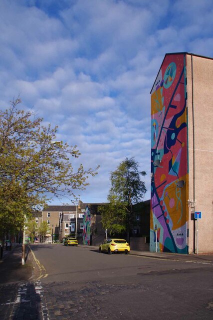
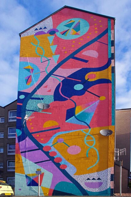
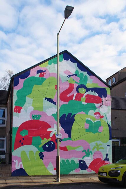
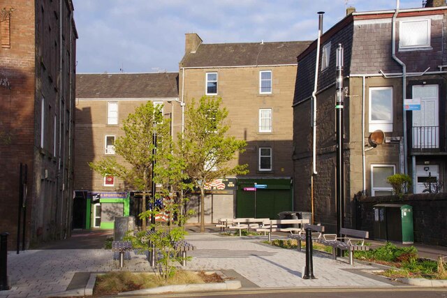
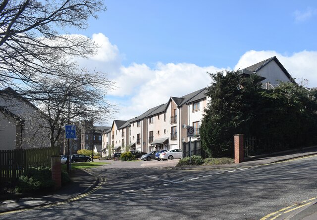
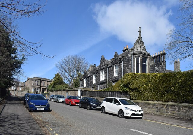
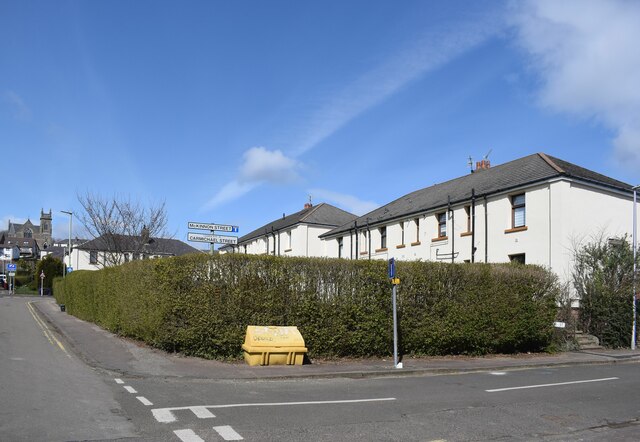
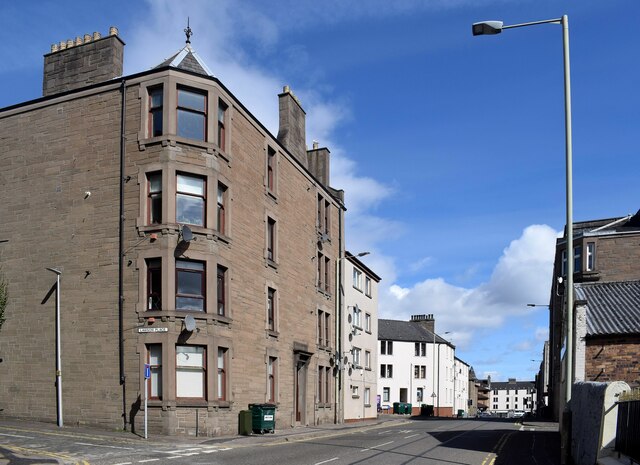
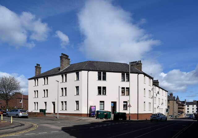
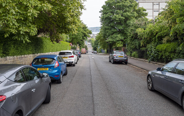
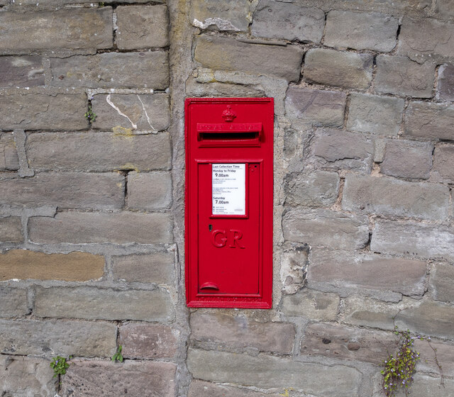
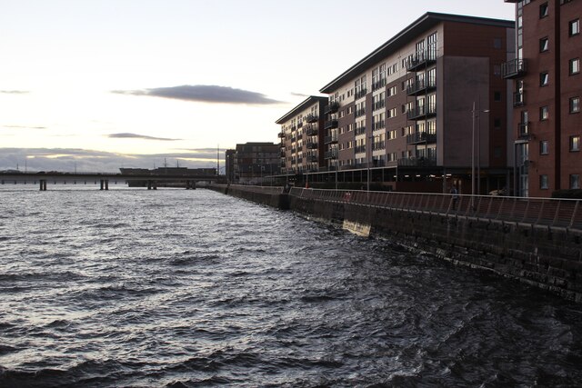
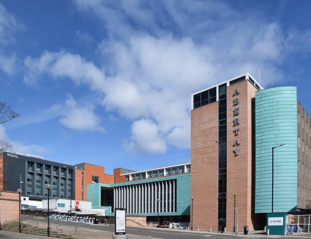
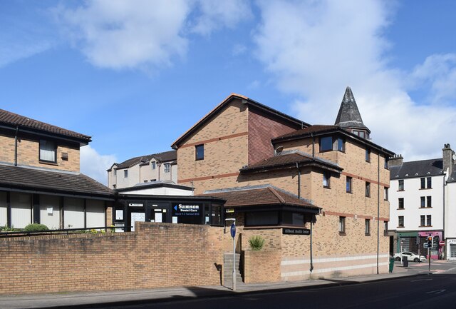
Maryfield Images

Images are sourced within 2km of 56.477529/-2.955783 or Grid Reference NO4132. Thanks to Geograph Open Source API. All images are credited.

Mural by Lauren Mosley in Cragie St This artwork was created in 2022 by a local artist <span class="nowrap"><a title="https://thewoomroom.com/artists/lauren-morsley/" rel="nofollow ugc noopener" href="https://thewoomroom.com/artists/lauren-morsley/">Link</a><img style="margin-left:2px;" alt="External link" title="External link - shift click to open in new window" src="https://s1.geograph.org.uk/img/external.png" width="10" height="10"/></span>. 
See also <a href="https://www.geograph.org.uk/photo/7762932">NO4131 : Mural by Boiiing in Cragie St</a> and <a href="https://www.geograph.org.uk/photo/7762944">NO4131 : Pedestrian Area in Cagie St</a>
Mural by Lauren Mosley in Cragie St
This artwork was created in 2022 by a local artist LinkExternal link. See also NO4131 : Mural by Boiiing in Cragie St and NO4131 : Pedestrian Area in Cagie St
Pedestrian Area in Cagie St The end of Cragie St is pedestrianised to stop through traffic. Seats are provided so you can see the public artworks; 
<a href="https://www.geograph.org.uk/photo/7762939">NO4131 : Mural by Lauren Mosley in Cragie St</a> & <a href="https://www.geograph.org.uk/photo/7762932">NO4131 : Mural by Boiiing in Cragie St</a>
Pedestrian Area in Cagie St
The end of Cragie St is pedestrianised to stop through traffic. Seats are provided so you can see the public artworks; NO4131 : Mural by Lauren Mosley in Cragie St & NO4131 : Mural by Boiiing in Cragie St
St Mary Magdalene's Scottish Episcopal Church, Dundee Built ca. 1867 for the Catholic Apostolic Church (<span class="nowrap"><a title="https://en.wikipedia.org/wiki/Catholic_Apostolic_Church" rel="nofollow ugc noopener" href="https://en.wikipedia.org/wiki/Catholic_Apostolic_Church">Link</a><img style="margin-left:2px;" alt="External link" title="External link - shift click to open in new window" src="https://s1.geograph.org.uk/img/external.png" width="10" height="10"/></span> ) but the Dundee congregation disbanded in 1945 and the Episcopalians took over the building in 1952: B-listed (LB25113: <span class="nowrap"><a title="http://portal.historicenvironment.scot/designation/LB25113" rel="nofollow ugc noopener" href="http://portal.historicenvironment.scot/designation/LB25113">Link</a><img style="margin-left:2px;" alt="External link" title="External link - shift click to open in new window" src="https://s1.geograph.org.uk/img/external.png" width="10" height="10"/></span> ). The inner ring road passes in front.
St Mary Magdalene's Scottish Episcopal Church, Dundee
Built ca. 1867 for the Catholic Apostolic Church (LinkExternal link ) but the Dundee congregation disbanded in 1945 and the Episcopalians took over the building in 1952: B-listed (LB25113: LinkExternal link ). The inner ring road passes in front.
Constitution Road, Dundee Just north of the inner ring road, tenements with impressive chimneys...
Constitution Road, Dundee
Just north of the inner ring road, tenements with impressive chimneys...
Looking up Constitution Road, Dundee The road is presumably one-way because of its steepness.  The 'except for access' Laurel Bank curves away to the right and re-joins Constitution Road farther up the hill, having made a P-shape, with a number of fine Victorian villas along its length.
Looking up Constitution Road, Dundee
The road is presumably one-way because of its steepness. The 'except for access' Laurel Bank curves away to the right and re-joins Constitution Road farther up the hill, having made a P-shape, with a number of fine Victorian villas along its length.
Glimpse of a villa A fine Classical villa dating from ca. 1837 at the corner of Constitution Road and Union Terrace, which was once occupied by a jute magnate.   B-listed: LB25506 <span class="nowrap"><a title="http://portal.historicenvironment.scot/designation/LB25506" rel="nofollow ugc noopener" href="http://portal.historicenvironment.scot/designation/LB25506">Link</a><img style="margin-left:2px;" alt="External link" title="External link - shift click to open in new window" src="https://s1.geograph.org.uk/img/external.png" width="10" height="10"/></span> .
Glimpse of a villa
A fine Classical villa dating from ca. 1837 at the corner of Constitution Road and Union Terrace, which was once occupied by a jute magnate. B-listed: LB25506 LinkExternal link .
New builds off Constitution Road, Dundee
Almost at the top... ...of Constitution Road, Dundee.  This is an interesting area to stroll around with Victorian villas side-by-side with gritty council flats.  The pictured grime-stained villa with attractive Dutch gables dates from ca. 1851 and is B-listed: LB25161 <span class="nowrap"><a title="http://portal.historicenvironment.scot/designation/LB25161" rel="nofollow ugc noopener" href="http://portal.historicenvironment.scot/designation/LB25161">Link</a><img style="margin-left:2px;" alt="External link" title="External link - shift click to open in new window" src="https://s1.geograph.org.uk/img/external.png" width="10" height="10"/></span> .
Almost at the top...
...of Constitution Road, Dundee. This is an interesting area to stroll around with Victorian villas side-by-side with gritty council flats. The pictured grime-stained villa with attractive Dutch gables dates from ca. 1851 and is B-listed: LB25161 LinkExternal link .
Former council houses, Upper Constitution Street, Dundee St David's High Kirk just peeps into the picture on the left.
Former council houses, Upper Constitution Street, Dundee
St David's High Kirk just peeps into the picture on the left.
Tenement block, Constitution Street, Dundee
Corner block, Constitution Street, Dundee Probably (ex) council flats.
Corner block, Constitution Street, Dundee
Probably (ex) council flats.
Constitution Road, Dundee Extremely steep road in Dundee with a 14% gradient (1 in 7) - and I cycled up and down it.
Constitution Road, Dundee
Extremely steep road in Dundee with a 14% gradient (1 in 7) - and I cycled up and down it.
Postbox, Dundee GR wall box (DD3 16D) on Constitution Road, Dundee.
Postbox, Dundee
GR wall box (DD3 16D) on Constitution Road, Dundee.
Flats at Marine Parade Walk, Dundee
Abertay University, Dundee For the history of the university, see: <span class="nowrap"><a title="https://en.wikipedia.org/wiki/Abertay_University" rel="nofollow ugc noopener" href="https://en.wikipedia.org/wiki/Abertay_University">Link</a><img style="margin-left:2px;" alt="External link" title="External link - shift click to open in new window" src="https://s1.geograph.org.uk/img/external.png" width="10" height="10"/></span> .
Abertay University, Dundee
For the history of the university, see: LinkExternal link .
Hillbank Health Centre, Dundee
Show me another place!

Maryfield is located at Grid Ref: NO4132 (Lat: 56.477529, Lng: -2.955783)

Unitary Authority: City of Dundee

Police Authority: Tayside

What 3 Words

///apron.trade.pose. Near Dundee, Dundee City

Related Wikis

Dundee International Sports Centre

Dundee International Sports Center (DISC) is a sports centre in Dundee, Scotland, opened in the late 1990s. In 1998, DISC staged the European Hockey Championships...

Morgan Academy

Morgan Academy is a secondary school in the Stobswell area of Dundee, Scotland. Morgan Academy was founded in 1889 and is the second oldest state school...

Maryfield Hospital

Maryfield Hospital was a hospital in Stobswell, Dundee, Scotland. Originally a poorhouse hospital it became Dundee's second main hospital after Dundee...

Caird Park Velodrome

The Caird Park Velodrome is an outdoor 402.25-metre (1,319.7 ft) concrete velodrome in Dundee, Scotland. Adjacent to the velodrome is an athletics stadium...

Nearby Amenities

Located within 500m of 56.477529,-2.955783
Traffic Signals
Traffic Signals: signal
Lat/Long: 56.47768/-2.9532029
Traffic Signals
Traffic Signals: signal
Lat/Long: 56.4801378/-2.9528985
Bus Stop
Morgan Academy
Naptan AtcoCode: 6400PT1263
Naptan CommonName: Morgan Academy
Naptan Indicator: adj
Naptan NaptanCode: 36324523
Operator: Stagecoach
Public Transport: platform
Route Ref: 20;22D
Shelter: no
Towards: Kirriemuir
Lat/Long: 56.4747783/-2.9552225
Bus Stop
Walrond Street
Bench: no
Naptan AtcoCode: 6400PT1264
Naptan CommonName: Walrond Street
Naptan Indicator: opp
Naptan NaptanCode: 36324524
Operator: Stagecoach
Public Transport: platform
Route Ref: 20;22D
Shelter: no
Towards: Kirriemuir
Lat/Long: 56.47666/-2.9538165
Bus Stop
Lammerton Terrace
Bench: no
Bin: no
Naptan AtcoCode: 6400PT1705
Naptan CommonName: Lammerton Terrace
Naptan Indicator: at
Naptan NaptanCode: 36324393
Operator: Stagecoach
Public Transport: platform
Route Ref: 20;22D
Shelter: no
Towards: Kirriemuir
Lat/Long: 56.4788681/-2.9526727
Bus Stop
Kingsway East
Bench: no
Bin: yes
Check Date Shelter: 2022-04-17
Lit: yes
Naptan AtcoCode: 6400PT1260
Naptan CommonName: Kingsway East
Naptan Indicator: near
Naptan NaptanCode: 36324525
Operator: Stagecoach
Route Ref: 20;22D
Shelter: no
Tactile Paving: no
Towards: Kirriemuir
Lat/Long: 56.4814104/-2.9524275
Bus Stop
Kingsway East
Bench: yes
Naptan AtcoCode: 6400S262
Naptan CommonName: Kingsway East
Naptan Indicator: at
Naptan NaptanCode: 36324394
Operator: Stagecoach
Route Ref: 20;22D
Shelter: yes
Towards: Dundee City Centre
Lat/Long: 56.4811339/-2.952024
Bus Stop
Walrond Street
Bus: yes
Naptan AtcoCode: 6400A97
Naptan CommonName: Walrond Street
Naptan Indicator: near
Naptan NaptanCode: 36324396
Operator: Stagecoach
Public Transport: platform
Route Ref: 20;22D
Shelter: yes
Towards: Dundee City Centre
Lat/Long: 56.4770951/-2.9534164
Bus Stop
Morgan Academy
Bus: yes
Naptan AtcoCode: 6400PT1707
Naptan CommonName: Morgan Academy
Naptan Indicator: near
Naptan NaptanCode: 36324397
Operator: Stagecoach
Public Transport: platform
Route Ref: 20;22D
Shelter: yes
Towards: Dundee City Centre
Lat/Long: 56.47389/-2.9556247
Bus Stop
Baldovan Terace
Bus: yes
Naptan AtcoCode: 6400PT1433
Naptan CommonName: Baldovan Terace
Naptan Indicator: opp
Naptan NaptanCode: 36325284
Operator: Stagecoach
Public Transport: platform
Route Ref: 22
Shelter: no
Towards: Kirriemuir
Lat/Long: 56.4733063/-2.9554656
Bus Stop
Morgan Academy
Bus: yes
Naptan AtcoCode: 6400PT1427
Naptan CommonName: Morgan Academy
Naptan Indicator: at
Naptan NaptanCode: 36325278
Operator: Stagecoach
Public Transport: platform
Route Ref: 22
Shelter: no
Towards: Kirriemuir
Lat/Long: 56.4743255/-2.9532511
Bus Stop
Dalkeith Road
Bus: yes
Naptan AtcoCode: 6400PT1434
Naptan CommonName: Dalkeith Road
Naptan Indicator: opp
Naptan NaptanCode: 36325285
Operator: Stagecoach
Public Transport: platform
Route Ref: 22
Shelter: no
Towards: Kirriemuir
Lat/Long: 56.475735/-2.9499971
Bus Stop
Wortley Place
Bus: yes
Naptan AtcoCode: 6400PT1430
Naptan CommonName: Wortley Place
Naptan Indicator: at
Naptan NaptanCode: 36325282
Operator: Stagecoach
Public Transport: platform
Route Ref: 22
Shelter: no
Towards: Dundee City Centre
Lat/Long: 56.4751694/-2.950805
Bus Stop
Morgan Academy
Bus: yes
Naptan AtcoCode: 6400PT1436
Naptan CommonName: Morgan Academy
Naptan Indicator: opp
Naptan NaptanCode: 36325289
Operator: Stagecoach
Public Transport: platform
Route Ref: 22
Shelter: no
Towards: Dundee City Centre
Lat/Long: 56.4741138/-2.95348
Crossing
Button Operated: yes
Crossing: traffic_signals
Crossing Ref: pelican
Lat/Long: 56.4739905/-2.9538227
Traffic Signals
Traffic Signals: signal
Lat/Long: 56.480407/-2.9531213
Crossing
Button Operated: yes
Crossing: traffic_signals
Tactile Paving: yes
Lat/Long: 56.4803996/-2.952939
Maryfield
Place: suburb
Lat/Long: 56.4748088/-2.9617239
Barrier: bollard
Lat/Long: 56.4784371/-2.9529353
Entrance: main
Lat/Long: 56.4766199/-2.9532452
Railway: switch
Source: http://canmore.rcahms.gov.uk/images/l/DP057534/
Lat/Long: 56.4766218/-2.953269
Railway: switch
Source: http://canmore.rcahms.gov.uk/images/l/DP057534/
Lat/Long: 56.4766868/-2.9531105
Railway: switch
Source: http://canmore.rcahms.gov.uk/images/l/DP057534/
Lat/Long: 56.4766978/-2.9531738
Entrance: main
Lat/Long: 56.4767037/-2.9532034
Post Box
Source: survey
Lat/Long: 56.4776137/-2.9534457
Motorway Junction
Forfar Road Crossroads
Lat/Long: 56.4803729/-2.9536736
Traffic Signals
Traffic Signals: signal
Lat/Long: 56.4799792/-2.9522101
Traffic Signals
Traffic Signals: signal
Lat/Long: 56.4803423/-2.9526128
Motorway Junction
Forfar Road Crossroads
Lat/Long: 56.4806111/-2.9525752
Nicholson's Cycles
Addr City: Dundee
Addr Housenumber: 2-4
Addr Postcode: DD4 7AR
Addr Street: Forfar Road
Opening Hours: Mo-Fr 09:00-17:30; Sa 09:00-17:00
Phone: +44 1382 461212
Shop: bicycle
Website: https://www.nicholsons-cycles.co.uk/
Lat/Long: 56.4730554/-2.9564678
Traffic Signals
Traffic Signals: signal
Lat/Long: 56.480176/-2.9527863
Motorway Junction
Forfar Road Crossroads
Lat/Long: 56.4799769/-2.9516595
Traffic Signals
Traffic Signals: signal
Lat/Long: 56.4799175/-2.9520663
Traffic Signals
Traffic Signals: signal
Lat/Long: 56.4799698/-2.9523654
Traffic Signals
Traffic Signals: signal
Lat/Long: 56.4801607/-2.9523581
Traffic Signals
Traffic Signals: signal
Lat/Long: 56.4803753/-2.952806
Traffic Signals
Traffic Signals: signal
Lat/Long: 56.480203/-2.952249
Traffic Signals
Traffic Signals: signal
Lat/Long: 56.4803177/-2.9532558
Traffic Signals
Traffic Signals: signal
Lat/Long: 56.4800238/-2.9519666
Post Box
Collection Times: Mo-Fr 16:15; Sa 10:15
Operator: Royal Mail
Post Box Type: pillar
Ref: DD4 161
Royal Cypher: GVIR
Royal Cypher Wikidata: Q33102169
Lat/Long: 56.4762724/-2.9486986
Crossing
Button Operated: yes
Crossing: traffic_signals
Crossing Ref: pelican
Lat/Long: 56.4733328/-2.9560446
Fixme: This telephone box appears to be missing on Street Level Imagery. Please confirm if it has been removed or is in a different location.
Mapillary: 218827956414332
Removed Amenity: telephone
Survey Date: 2021-12-15
Lat/Long: 56.4732444/-2.9559533
Door: hinged
Entrance: main
Lat/Long: 56.477041/-2.9633126
Door: hinged
Entrance: main
Lat/Long: 56.4769001/-2.9633191
Door: hinged
Entrance: main
Lat/Long: 56.4765225/-2.9633236
Door: hinged
Entrance: main
Lat/Long: 56.4766707/-2.9633168
Door: hinged
Entrance: main
Lat/Long: 56.4766652/-2.9628946
Door: hinged
Entrance: main
Lat/Long: 56.4765243/-2.9628992
Door: hinged
Entrance: main
Lat/Long: 56.4770148/-2.9628825
Door: hinged
Entrance: main
Lat/Long: 56.4768739/-2.962887
Door: hinged
Entrance: main
Lat/Long: 56.4772154/-2.9637113
Door: hinged
Entrance: main
Lat/Long: 56.4763436/-2.9622462
Door: hinged
Entrance: main
Lat/Long: 56.4763434/-2.9625014
Door: hinged
Entrance: main
Lat/Long: 56.4763449/-2.9618186
Door: hinged
Entrance: main
Lat/Long: 56.4772281/-2.9625909
Door: hinged
Entrance: main
Lat/Long: 56.4773181/-2.9620375
Door: hinged
Entrance: main
Lat/Long: 56.4773207/-2.9622744
Door: hinged
Entrance: main
Lat/Long: 56.4755386/-2.9628842
Door: hinged
Entrance: main
Lat/Long: 56.475743/-2.9628789
Door: hinged
Entrance: main
Lat/Long: 56.4759615/-2.9633358
Door: hinged
Entrance: main
Lat/Long: 56.4751336/-2.9623053
Door: hinged
Entrance: main
Lat/Long: 56.4751372/-2.962567
Door: hinged
Entrance: main
Lat/Long: 56.4759463/-2.962914
Door: hinged
Entrance: main
Lat/Long: 56.4761564/-2.9622351
Door: hinged
Entrance: main
Lat/Long: 56.4761557/-2.9625242
Door: hinged
Entrance: main
Lat/Long: 56.4761632/-2.9615622
Door: hinged
Entrance: main
Lat/Long: 56.4761625/-2.9618513
Crossing
Crossing: traffic_signals
Lat/Long: 56.4801188/-2.9517199
Crossing
Crossing: marked
Tactile Paving: yes
Lat/Long: 56.4806056/-2.9573212
Crossing
Crossing: traffic_signals
Lat/Long: 56.4806782/-2.9572898
Crossing
Crossing: traffic_signals
Tactile Paving: yes
Lat/Long: 56.4809337/-2.9578492
Crossing
Crossing: traffic_signals
Tactile Paving: yes
Lat/Long: 56.4745052/-2.9552837
Crossing
Crossing: traffic_signals
Tactile Paving: yes
Lat/Long: 56.4775393/-2.9532786
Crossing
Crossing: traffic_signals
Tactile Paving: yes
Lat/Long: 56.4776608/-2.9535
Crossing
Crossing: traffic_signals
Tactile Paving: yes
Lat/Long: 56.4777974/-2.9531422
Crossing
Crossing: traffic_signals
Tactile Paving: yes
Lat/Long: 56.4776975/-2.9529321
Noexit: yes
Lat/Long: 56.4800002/-2.9526988
CTD Tiles
Addr City: Dundee
Addr Housename: CTD Tiles
Addr Housenumber: 119
Addr Postcode: DD3 7NU
Addr Street: Clepington Road
Brand: CTD Tiles
Brand Wikidata: Q100295826
Operator: CTD Tiles
Shop: tiles
Lat/Long: 56.4778137/-2.9629499
Bus Stop
Mains Loan
Bus: yes
Naptan AtcoCode: 6400PT1813
Naptan CommonName: Mains Loan
Naptan Indicator: opp
Naptan NaptanCode: 36323865
Naptan Verified: no
Public Transport: platform
Shelter: yes
Lat/Long: 56.4774263/-2.9595709
Bus Stop
Court Street
Bus: yes
Naptan AtcoCode: 6400A131
Naptan CommonName: Court Street
Naptan Indicator: opp
Naptan NaptanCode: 36323859
Naptan Verified: no
Public Transport: platform
Shelter: yes
Lat/Long: 56.4775033/-2.9632013
Bus Stop
Court Street
Naptan AtcoCode: 6400S140
Naptan CommonName: Court Street
Naptan Indicator: at
Naptan NaptanCode: 36323839
Naptan Verified: no
Public Transport: platform
Shelter: yes
Lat/Long: 56.4773871/-2.9636747
Bus Stop
Woodlands Terrace
Bus: yes
Naptan AtcoCode: 6400L0006
Naptan CommonName: Woodlands Terrace
Naptan Indicator: at
Naptan NaptanCode: 36325685
Naptan Verified: no
Public Transport: platform
Shelter: yes
Lat/Long: 56.479586/-2.9629572
Crossing
Button Operated: yes
Crossing: traffic_signals
Lat/Long: 56.4800415/-2.9520711
Grit Bin
Lat/Long: 56.4791632/-2.9537697
Traffic Calming: table
Lat/Long: 56.4732329/-2.9549729
The data included in this document is from www.openstreetmap.org. The data is made available under ODbL.

Have you been to Maryfield?

Leave your review of Maryfield below (or comments, questions and feedback).