Maryburgh

Settlement in Kinross-shire

Scotland

Maryburgh

Telecoms Mast on Benarty The weed infested hollow in the foreground hides a mesh of reinforcing rods surrounded by rotted wooden shuttering, which indicates that another tower was planned for this site.
Telecoms Mast on Benarty Credit: Robert Struthers

Maryburgh is a small village located in the county of Kinross-shire, Scotland. Situated about 2 miles south of the town of Kinross, Maryburgh is nestled amidst picturesque countryside, offering its residents and visitors a tranquil and scenic environment.

The village is home to a population of around 500 people, and its history dates back to the 19th century when it was primarily an agricultural community. Today, Maryburgh retains its rural charm with a mix of traditional stone cottages and newer residential developments.

The village enjoys a close-knit community feel, with a range of amenities catering to the needs of its residents. There is a local primary school, providing education for children in the area, as well as a community hall that hosts various events and activities throughout the year. Maryburgh also has a local shop, ensuring that basic necessities are easily accessible.

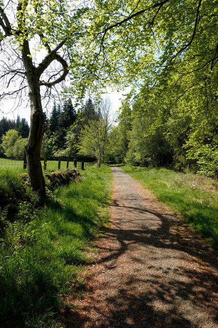
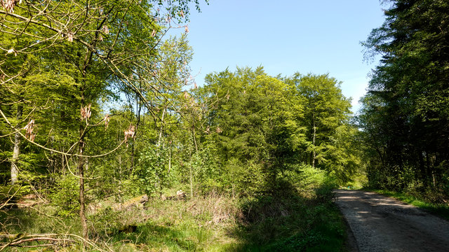
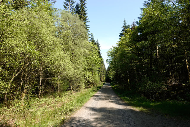
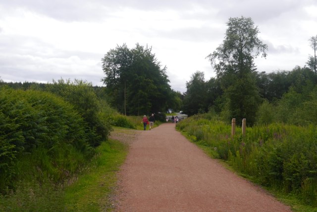
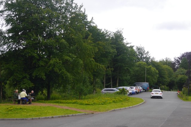
For those seeking outdoor activities, Maryburgh offers ample opportunities to explore the surrounding countryside. The nearby Loch Leven provides a beautiful setting for fishing and birdwatching, and there are several walking and cycling routes in the area. Golf enthusiasts can also indulge in their passion at the nearby Kinross Golf Club.

With its idyllic location and strong sense of community, Maryburgh provides a peaceful and welcoming environment for its residents, while still being within easy reach of larger towns and cities in the region.

If you have any feedback on the listing, please let us know in the comments section below.
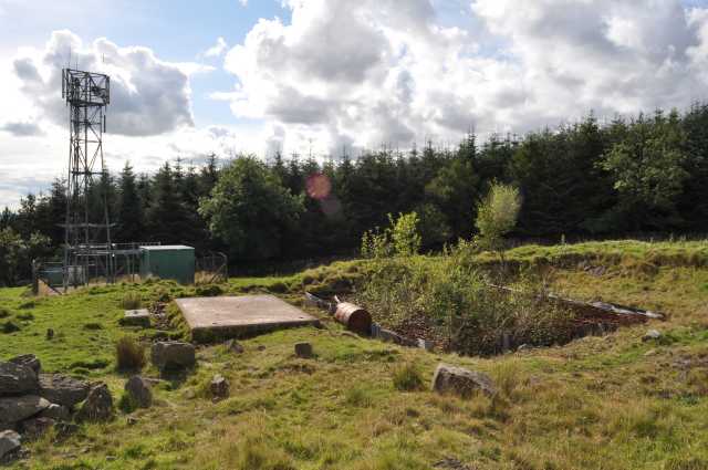
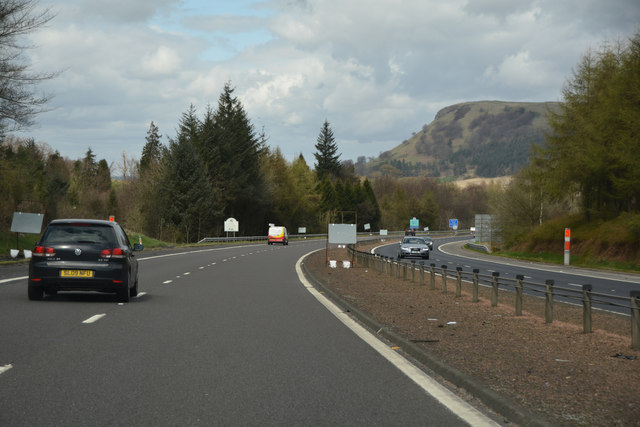
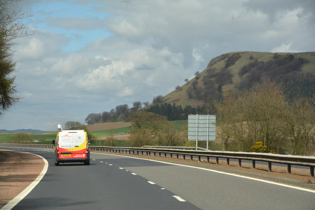
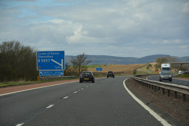
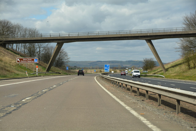
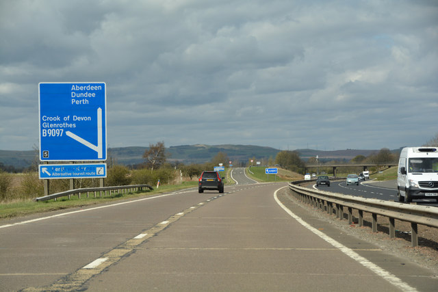
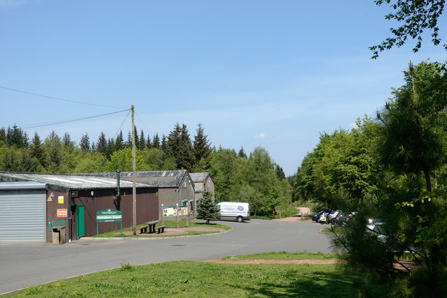
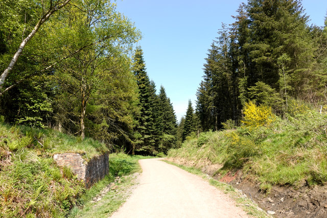
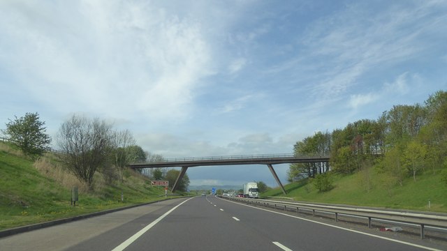
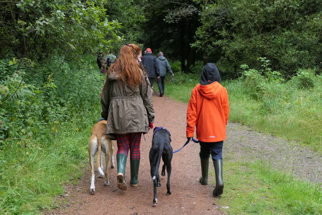
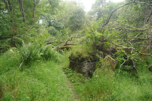
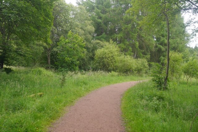
Maryburgh Images

Images are sourced within 2km of 56.149636/-3.3906951 or Grid Reference NT1396. Thanks to Geograph Open Source API. All images are credited.

Telecoms Mast on Benarty The weed infested hollow in the foreground hides a mesh of reinforcing rods surrounded by rotted wooden shuttering, which indicates that another tower was planned for this site.
Telecoms Mast on Benarty
The weed infested hollow in the foreground hides a mesh of reinforcing rods surrounded by rotted wooden shuttering, which indicates that another tower was planned for this site.
Fife : The M90 Motorway Heading north on the M90 Motorway.
Fife : The M90 Motorway
Heading north on the M90 Motorway.
Perth & Kinross : The M90 Motorway Heading north along the M90 Motorway.
Perth & Kinross : The M90 Motorway
Heading north along the M90 Motorway.
Perth & Kinross : The M90 Motorway Heading north along the M90 Motorway.
Perth & Kinross : The M90 Motorway
Heading north along the M90 Motorway.
Perth & Kinross : The M90 Motorway Looking along the M90 Motorway as it heads through Perth & Kinross.
Perth & Kinross : The M90 Motorway
Looking along the M90 Motorway as it heads through Perth & Kinross.
Perth & Kinross : The M90 Motorway Approaching junction 5 of the M90 Motorway.
Perth & Kinross : The M90 Motorway
Approaching junction 5 of the M90 Motorway.
Forestry Commission depot at Blairadam Forest There's no visitor centre or other facilities for the public at the depot but there is a car park, mainly hidden by the right hand trees. It's accessible from the B914 by a drive of around 1 km. along a well-surfaced tarmac road and gives access to waymarked paths.
Forestry Commission depot at Blairadam Forest
There's no visitor centre or other facilities for the public at the depot but there is a car park, mainly hidden by the right hand trees. It's accessible from the B914 by a drive of around 1 km. along a well-surfaced tarmac road and gives access to waymarked paths.
Forest road crossing route of old railway The road is in the Blairadam Forest which occupies an area with a coal mining history. The rail route is assumed to be a local one associated with the mining. The brickwork at the left side of the image is surely part of a buttress to a railway bridge. June Hodge has a Geograph image which shows embellishments to the brickwork of the buttress - <a title="https://www.geograph.org.uk/photo/2137643" href="https://www.geograph.org.uk/photo/2137643">Link</a>.
Forest road crossing route of old railway
The road is in the Blairadam Forest which occupies an area with a coal mining history. The rail route is assumed to be a local one associated with the mining. The brickwork at the left side of the image is surely part of a buttress to a railway bridge. June Hodge has a Geograph image which shows embellishments to the brickwork of the buttress - Link.
Path in Blairadam Forest near to M90 The broad path is heading further into the Blairadam Forest having passed through an underpass of the M90 motorway connecting it with Keltybridge.
Path in Blairadam Forest near to M90
The broad path is heading further into the Blairadam Forest having passed through an underpass of the M90 motorway connecting it with Keltybridge.
Forest road within Blairadam Forest The road, (in shadow), is one of many forest roads in the Blairadam Forest, a number of them being used in waymarked, footpath routes; this is not one of those.
Forest road within Blairadam Forest
The road, (in shadow), is one of many forest roads in the Blairadam Forest, a number of them being used in waymarked, footpath routes; this is not one of those.
Forest road in Blairadam Forest One of the roads in the Blairadam Forest heading east-north-east. Many roads have been incorporated into a waymarked system of paths; this isn't one of those. In this view most of the trees are deciduous.
Forest road in Blairadam Forest
One of the roads in the Blairadam Forest heading east-north-east. Many roads have been incorporated into a waymarked system of paths; this isn't one of those. In this view most of the trees are deciduous.
Footbridge over M90 at Kelty
Bridge over M90
Bridge over M90
Greyhound Rescue Fife walk August 2019 Greyhound Rescue Fife monthly walk at Blairadam. Great family meeting.
Greyhound Rescue Fife walk August 2019
Greyhound Rescue Fife monthly walk at Blairadam. Great family meeting.
Ruin, Blairadam Forest Overgrown ruin, probably associated with the colliery that was here once.
Ruin, Blairadam Forest
Overgrown ruin, probably associated with the colliery that was here once.
Path, Blairadam Forest At the site of a colliery. This is one of the Forestry Commission's waymarked paths.
Path, Blairadam Forest
At the site of a colliery. This is one of the Forestry Commission's waymarked paths.
Waymarked paths, Blairadam Forest Near the main car park.
Waymarked paths, Blairadam Forest
Near the main car park.
Forestry Commission car park, Blairadam Forest The main car park, some distance into the forest.
Forestry Commission car park, Blairadam Forest
The main car park, some distance into the forest.
Show me another place!

Maryburgh is located at Grid Ref: NT1396 (Lat: 56.149636, Lng: -3.3906951)

Unitary Authority: Perth and Kinross

Police Authority: Tayside

What 3 Words

///slowness.flocking.shell. Near Kelty, Fife

Nearby Locations

Maryburgh Blairforge

Related Wikis

Keltybridge

Keltybridge is a village in Perth and Kinross, Scotland, about one mile north of Kelty, which is across the Fife border. It stands on the northern banks...

Blairadam railway station

Blairadam railway station is a disused station in Fife, Scotland which was open from 1860 to 1964 on the Kinross-shire Railway. == History == The station...

Kelty Hearts F.C.

Kelty Hearts Football Club is a football club based in the village of Kelty in Fife, Scotland. Formed in 1975 and nicknamed the Hearts, the Maroon Machine...

Kelty

Kelty (Scottish Gaelic: Cailtidh) is a former coal mining village located in Fife, Scotland. Lying in the heart of the old mining heartlands of Fife, it...

Kelty railway station

Kelty railway station served the village of Kelty, Fife, Scotland from 1860 to 1930 on the Kinross-shire Railway. == History == The station opened on 20...

Dowhill Castle

Dowhill Castle is a ruined castle in Perth and Kinross, Scotland. Sited on a hill near Loch Leven, the oldest part of the castle was built in around 1500...

Benarty Hill

Benarty Hill, locally simply Benarty, rises above and to the west of Ballingry, in the west of Fife, Scotland. The summit ridge forms the boundary with...

Loch Ore

Loch Ore is a loch situated in Fife, Scotland. It forms the core of Lochore Meadows Country Park. It is used mainly for leisure purposes, especially yachting...

Nearby Amenities

Located within 500m of 56.149636,-3.3906951
Maryburgh
Place: hamlet
Lat/Long: 56.1475645/-3.3900053
Material: wood
Power: pole
Lat/Long: 56.1457059/-3.3879832
Material: wood
Power: pole
Lat/Long: 56.1464747/-3.3884201
Material: wood
Power: pole
Lat/Long: 56.1464201/-3.3874974
Material: wood
Power: pole
Lat/Long: 56.1464816/-3.3864259
Material: wood
Power: pole
Lat/Long: 56.1465907/-3.3853048
Power: pole
Lat/Long: 56.1469716/-3.3886795
Power: pole
Lat/Long: 56.1476417/-3.3890348
Blairforge
Place: hamlet
Lat/Long: 56.1510476/-3.3862571
Generator Method: photovoltaic
Generator Output Electricity: yes
Generator Source: solar
Generator Type: solar_photovoltaic_panel
Power: generator
Lat/Long: 56.1508543/-3.3858744
Power: pole
Lat/Long: 56.1522641/-3.3865481
Generator Method: photovoltaic
Generator Output Electricity: yes
Generator Source: solar
Generator Type: solar_photovoltaic_panel
Power: generator
Lat/Long: 56.148103/-3.3896385
Generator Method: photovoltaic
Generator Output Electricity: yes
Generator Source: solar
Generator Type: solar_photovoltaic_panel
Power: generator
Lat/Long: 56.1469943/-3.3896471
Power: pole
Lat/Long: 56.1483391/-3.3894467
Power: pole
Lat/Long: 56.1488722/-3.3897478
Power: pole
Lat/Long: 56.1495713/-3.3913293
Power: pole
Lat/Long: 56.1498897/-3.3920683
Power: pole
Lat/Long: 56.1504194/-3.3926419
Power: pole
Lat/Long: 56.1509863/-3.3932592
Material: wood
Power: pole
Lat/Long: 56.1515569/-3.393883
Power: pole
Lat/Long: 56.1521146/-3.3943476
Power: pole
Lat/Long: 56.152837/-3.3950075
Power: pole
Lat/Long: 56.1470114/-3.3971476
Power: pole
Lat/Long: 56.1468556/-3.3960779
Power: pole
Lat/Long: 56.1467089/-3.3951163
Power: pole
Lat/Long: 56.146577/-3.3941568
Material: wood
Power: pole
Lat/Long: 56.1463325/-3.3926338
Power: pole
Lat/Long: 56.1460721/-3.3910864
Power: pole
Lat/Long: 56.1455819/-3.3920704
Power: pole
Lat/Long: 56.1496805/-3.3939322
Power: pole
Lat/Long: 56.14956/-3.395004
Power: pole
Lat/Long: 56.1493951/-3.3963984
Power: pole
Lat/Long: 56.1492108/-3.397658
Power: pole
Lat/Long: 56.1465713/-3.3900513
Power: pole
Lat/Long: 56.151691/-3.3871034
Power: pole
Lat/Long: 56.1512122/-3.3874239
Power: pole
Lat/Long: 56.1509348/-3.3876076
Power: pole
Lat/Long: 56.1502695/-3.3880649
Power: pole
Lat/Long: 56.1499875/-3.3894062
Power: pole
Lat/Long: 56.1492033/-3.3904967
Power: pole
Lat/Long: 56.1522322/-3.3964004
Power: pole
Lat/Long: 56.1517944/-3.3957349
Power: pole
Lat/Long: 56.1513612/-3.395051
The data included in this document is from www.openstreetmap.org. The data is made available under ODbL.

Have you been to Maryburgh?

Leave your review of Maryburgh below (or comments, questions and feedback).