Blairforge

Settlement in Kinross-shire

Scotland

Blairforge

A Meandering Path It is unusual to see a tarmac path with such a snakey profile. This is the most pronounced example I came across on a short walk at the West end of Lochore Meadows Country Park. It looks like they have just laid the tarmac on top of a former mud path. The country park sits on the site of a former mining area and usually the paths in these sites follow the routes of old railway or tram lines; this is far more eye-catching.
This country park, of which Scotland has 40, has the unusual distinction of being part of a larger regional park. Scotland has just three regional parks and this one - Lomond Hills Regional Park - is split into two discontiguous parts.
A Meandering Path Credit: Ian Dodds

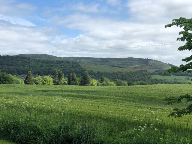
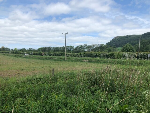
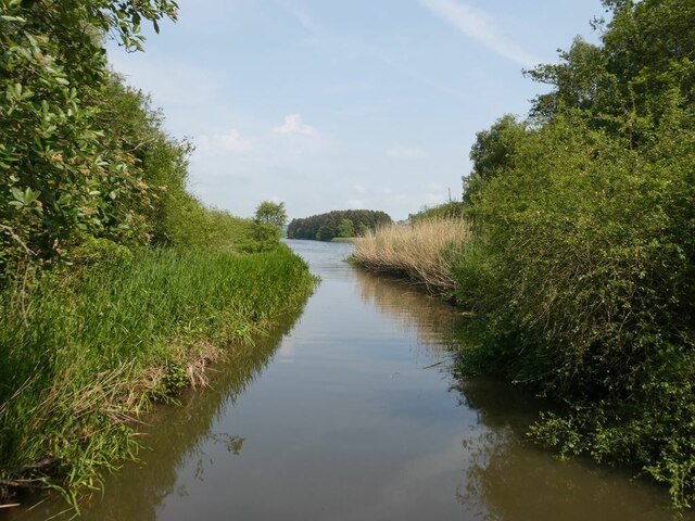
Blairforge is a small village located in the county of Kinross-shire, Scotland. Situated on the eastern shore of Loch Leven, it is surrounded by picturesque landscapes and offers breathtaking views of the surrounding hills and water. The village is conveniently located just a few miles away from the town of Kinross, making it easily accessible for both residents and visitors.

Blairforge has a rich history, with its origins dating back to the 18th century. The village was established as a hub for ironworking and blacksmithing, hence its name, which reflects its historical significance. Today, remnants of the village's industrial past can still be seen in the form of old forges and workshops.

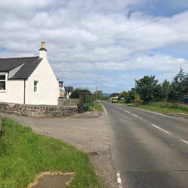
Despite its small size, Blairforge has a close-knit and friendly community. The village is home to a handful of residential properties, a local pub, and a small convenience store, providing essential amenities for its residents. The tranquil and peaceful atmosphere of Blairforge, coupled with its idyllic surroundings, makes it a popular destination for those seeking a peaceful retreat away from the hustle and bustle of city life.

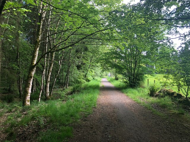
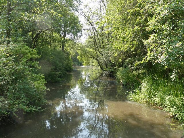
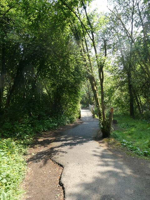
The village's proximity to Loch Leven also offers a wide range of outdoor activities for nature enthusiasts. Visitors can enjoy fishing, boating, or simply take a leisurely stroll along the loch's shoreline. Additionally, the nearby Loch Leven Heritage Trail provides an excellent opportunity for hikers and cyclists to explore the beautiful countryside.

Overall, Blairforge is a charming village with a rich history and stunning natural beauty, making it a delightful destination for both residents and visitors alike.

If you have any feedback on the listing, please let us know in the comments section below.
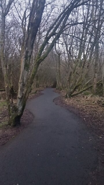
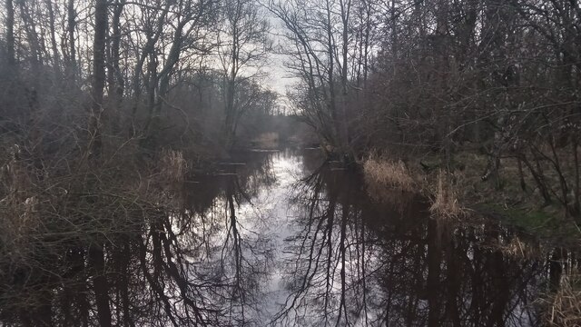
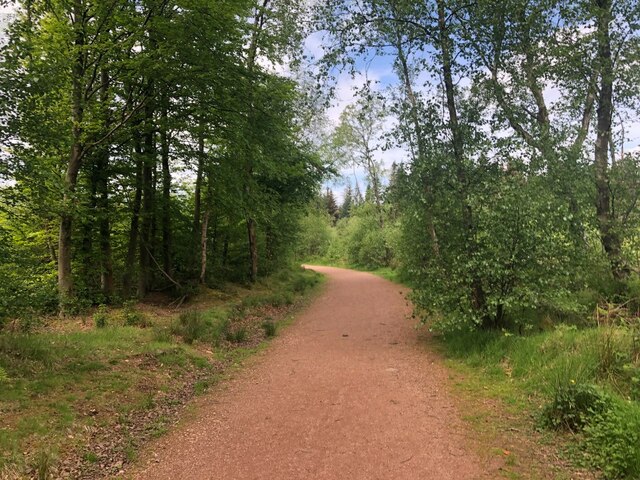
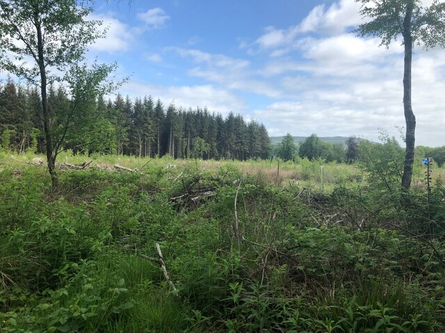
Blairforge Images

Images are sourced within 2km of 56.150773/-3.3870336 or Grid Reference NT1396. Thanks to Geograph Open Source API. All images are credited.

A Meandering Path It is unusual to see a tarmac path with such a snakey profile. This is the most pronounced example I came across on a short walk at the West end of Lochore Meadows Country Park. It looks like they have just laid the tarmac on top of a former mud path. The country park sits on the site of a former mining area and usually the paths in these sites follow the routes of old railway or tram lines; this is far more eye-catching.
This country park, of which Scotland has 40, has the unusual distinction of being part of a larger regional park. Scotland has just three regional parks and this one - Lomond Hills Regional Park - is split into two discontiguous parts.
A Meandering Path
It is unusual to see a tarmac path with such a snakey profile. This is the most pronounced example I came across on a short walk at the West end of Lochore Meadows Country Park. It looks like they have just laid the tarmac on top of a former mud path. The country park sits on the site of a former mining area and usually the paths in these sites follow the routes of old railway or tram lines; this is far more eye-catching. This country park, of which Scotland has 40, has the unusual distinction of being part of a larger regional park. Scotland has just three regional parks and this one - Lomond Hills Regional Park - is split into two discontiguous parts.
The River Ore This is a strange river, judging by the map. It is shown as beginning in marshland just a few hundred yards West of here. It is not shown as a normal headwater though; it is shown as already being quite wide and has its name right from its start. It then flows into a medium-sized pond, before reaching this short stretch, after which it reaches Loch Ore, which is basically a flooded collapsed former mine. It emerges from the other side of the loch as a thin blue line, then eventually widens again. After a few miles it reaches the River Leven, which shortly afterwards flows into the North Sea.
The picture was taken from a footbridge on the edge of Lochore Meadows Country Park.
The River Ore
This is a strange river, judging by the map. It is shown as beginning in marshland just a few hundred yards West of here. It is not shown as a normal headwater though; it is shown as already being quite wide and has its name right from its start. It then flows into a medium-sized pond, before reaching this short stretch, after which it reaches Loch Ore, which is basically a flooded collapsed former mine. It emerges from the other side of the loch as a thin blue line, then eventually widens again. After a few miles it reaches the River Leven, which shortly afterwards flows into the North Sea. The picture was taken from a footbridge on the edge of Lochore Meadows Country Park.
Path, Keltyhill Wood Used by the Fife Pilgrim Way.
Path, Keltyhill Wood
Used by the Fife Pilgrim Way.
Keltyhill Wood
Keltyhill Wood
Leaving Blairadam Forest A track out of the woods, under the motorway to Keltybridge.
Leaving Blairadam Forest
A track out of the woods, under the motorway to Keltybridge.
Barley, Keltybridge
Barley, Keltybridge
Field, Blairforge
Field, Blairforge
B996, Lochran Former A90.
B996, Lochran
Former A90.
River Ore Where it enters Loch Ore.
River Ore
Where it enters Loch Ore.
River Ore Looking upstream from the point where it enters Loch Ore.
River Ore
Looking upstream from the point where it enters Loch Ore.
Footbridge over the River Ore On the footpath which follows the shoreline of Loch Ore.
Footbridge over the River Ore
On the footpath which follows the shoreline of Loch Ore.
Insect cocoons Cocoons made by some insect unidentified beside the  footpath which follows the shoreline of Loch Ore.
Insect cocoons
Cocoons made by some insect unidentified beside the footpath which follows the shoreline of Loch Ore.
New Central Park, Kelty Third level match: Kelty Hearts vrs Queen of the South.
New Central Park, Kelty
Third level match: Kelty Hearts vrs Queen of the South.
New Central Park, Kelty A similar view to <a href="https://www.geograph.org.uk/photo/3816440">NT1494 : Central Park, Kelty</a>, but a lot has changed in that time. Junior Football has collapsed, almost all the sides have joined the SFA and the newish pyramid structure leading to membership of the Scottish Professional Football League (where the names that you would have seen on pools coupons lurk). It was widely believed that the good Junior sides were better than those at the bottom of the SPFL and Kelty backed this up by winning their league in their first season.  They are now in the third division which at the time was called "League One".  .
Taken before kickoff  against Queen of the South. Kelty won 3-1
New Central Park, Kelty
A similar view to NT1494 : Central Park, Kelty, but a lot has changed in that time. Junior Football has collapsed, almost all the sides have joined the SFA and the newish pyramid structure leading to membership of the Scottish Professional Football League (where the names that you would have seen on pools coupons lurk). It was widely believed that the good Junior sides were better than those at the bottom of the SPFL and Kelty backed this up by winning their league in their first season. They are now in the third division which at the time was called "League One". . Taken before kickoff against Queen of the South. Kelty won 3-1
Stand, Kelty Hearts FC Crowd of 509 for the 3-1 win over Queen of the South.
Stand, Kelty Hearts FC
Crowd of 509 for the 3-1 win over Queen of the South.
Kelty Hearts vrs Queen of the South New Central Park, Kelty. The home side in maroon won 3-1.
Kelty Hearts vrs Queen of the South
New Central Park, Kelty. The home side in maroon won 3-1.
New Central Park, Kelty Kelty Hearts equalised from this penalty at the northern end of the ground. There was no segregation but the Queen of the South support were behind the goal.
New Central Park, Kelty
Kelty Hearts equalised from this penalty at the northern end of the ground. There was no segregation but the Queen of the South support were behind the goal.
Buildings, New Central Park The sort of rooms you often find under a stand: offices, social club, dressing rooms etc.
Buildings, New Central Park
The sort of rooms you often find under a stand: offices, social club, dressing rooms etc.
Show me another place!

Blairforge is located at Grid Ref: NT1396 (Lat: 56.150773, Lng: -3.3870336)

Unitary Authority: Perth and Kinross

Police Authority: Tayside

What 3 Words

///stars.newer.snowboard. Near Kelty, Fife

Nearby Locations

Maryburgh Blairforge

Related Wikis

Keltybridge

Keltybridge is a village in Perth and Kinross, Scotland, about one mile north of Kelty, which is across the Fife border. It stands on the northern banks...

Blairadam railway station

Blairadam railway station is a disused station in Fife, Scotland which was open from 1860 to 1964 on the Kinross-shire Railway. == History == The station...
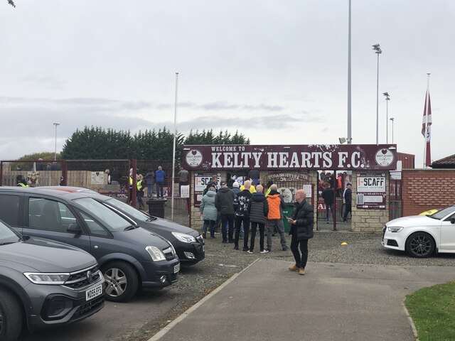
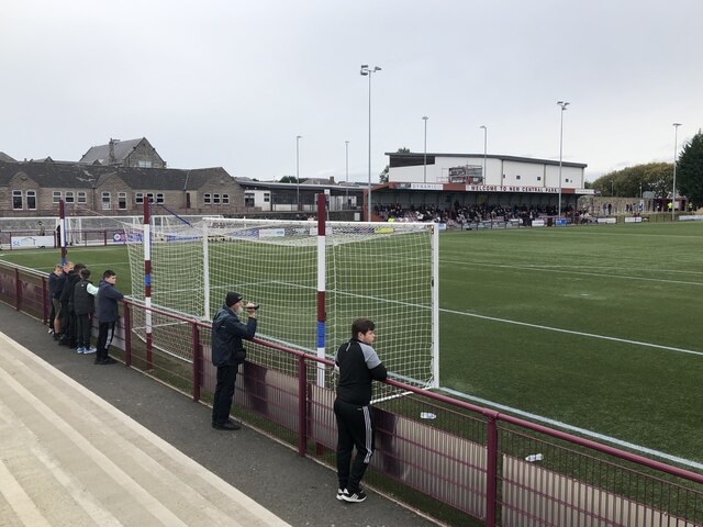
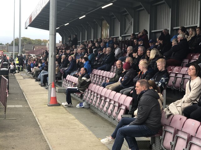
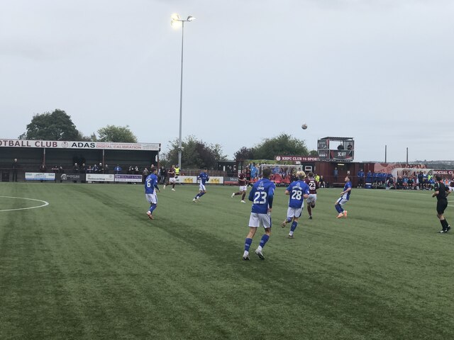
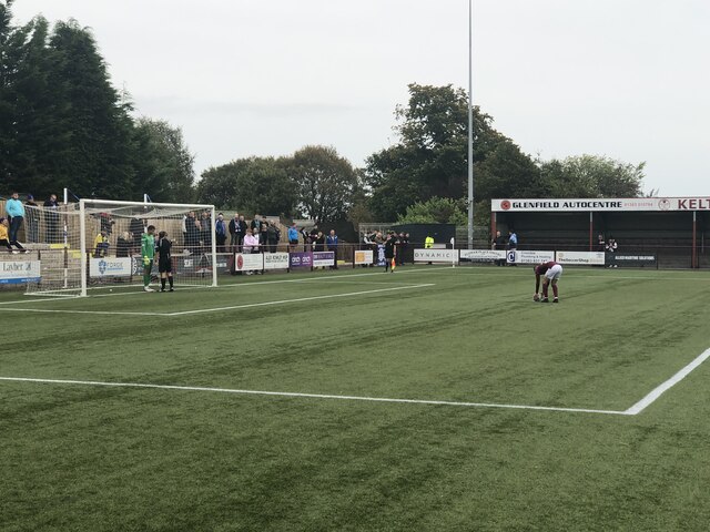
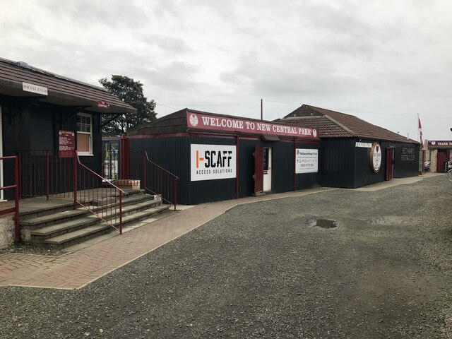
Kelty Hearts F.C.

Kelty Hearts Football Club is a football club based in the village of Kelty in Fife, Scotland. Formed in 1975 and nicknamed the Hearts, the Maroon Machine...

Kelty railway station

Kelty railway station served the village of Kelty, Fife, Scotland from 1860 to 1930 on the Kinross-shire Railway. == History == The station opened on 20...

Nearby Amenities

Located within 500m of 56.150773,-3.3870336
Maryburgh
Place: hamlet
Lat/Long: 56.1475645/-3.3900053
Material: wood
Power: pole
Lat/Long: 56.1464747/-3.3884201
Material: wood
Power: pole
Lat/Long: 56.1464201/-3.3874974
Material: wood
Power: pole
Lat/Long: 56.1464816/-3.3864259
Material: wood
Power: pole
Lat/Long: 56.1465907/-3.3853048
Material: wood
Power: pole
Lat/Long: 56.1467942/-3.3839635
Material: wood
Power: pole
Lat/Long: 56.1472541/-3.3820029
Power: pole
Lat/Long: 56.1469716/-3.3886795
Power: pole
Lat/Long: 56.1476417/-3.3890348
Blairforge
Place: hamlet
Lat/Long: 56.1510476/-3.3862571
Generator Method: photovoltaic
Generator Output Electricity: yes
Generator Source: solar
Generator Type: solar_photovoltaic_panel
Power: generator
Lat/Long: 56.1508543/-3.3858744
Power: pole
Lat/Long: 56.1522641/-3.3865481
Generator Method: photovoltaic
Generator Output Electricity: yes
Generator Source: solar
Generator Type: solar_photovoltaic_panel
Power: generator
Lat/Long: 56.148103/-3.3896385
Generator Method: photovoltaic
Generator Output Electricity: yes
Generator Source: solar
Generator Type: solar_photovoltaic_panel
Power: generator
Lat/Long: 56.1469943/-3.3896471
Power: pole
Lat/Long: 56.1483391/-3.3894467
Power: pole
Lat/Long: 56.1488722/-3.3897478
Power: pole
Lat/Long: 56.1495713/-3.3913293
Power: pole
Lat/Long: 56.1498897/-3.3920683
Power: pole
Lat/Long: 56.1504194/-3.3926419
Power: pole
Lat/Long: 56.1509863/-3.3932592
Material: wood
Power: pole
Lat/Long: 56.1515569/-3.393883
Power: pole
Lat/Long: 56.1521146/-3.3943476
Power: pole
Lat/Long: 56.1496805/-3.3939322
Power: pole
Lat/Long: 56.151691/-3.3871034
Power: pole
Lat/Long: 56.1512122/-3.3874239
Power: pole
Lat/Long: 56.1509348/-3.3876076
Power: pole
Lat/Long: 56.1502695/-3.3880649
Power: pole
Lat/Long: 56.1499875/-3.3894062
Power: pole
Lat/Long: 56.1492033/-3.3904967
The data included in this document is from www.openstreetmap.org. The data is made available under ODbL.

Have you been to Blairforge?

Leave your review of Blairforge below (or comments, questions and feedback).