Marylands Park
Settlement in Sussex Horsham
England
Marylands Park

Marylands Park is a picturesque residential area located in the South Downs National Park in Sussex, England. It is situated approximately 3 miles southeast of the historic town of Lewes and 9 miles north of the vibrant city of Brighton.
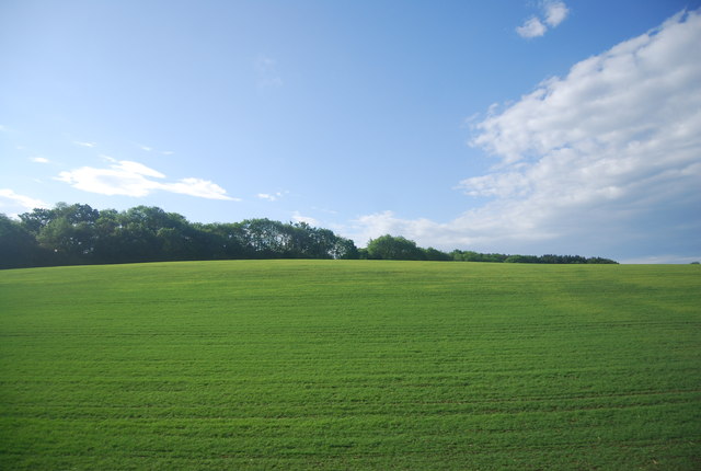
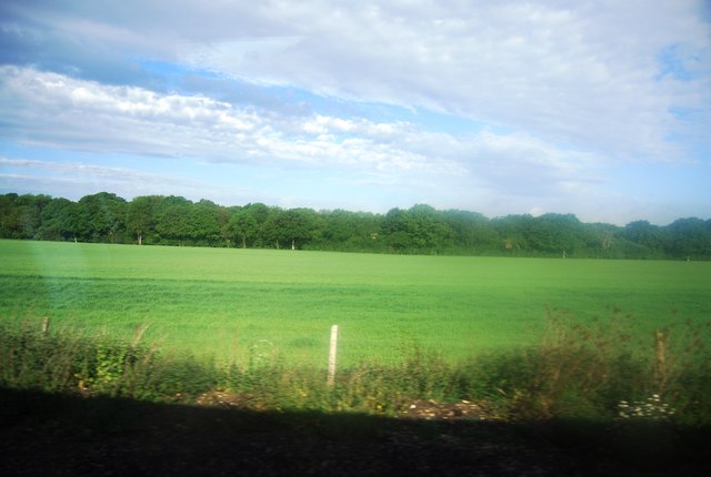
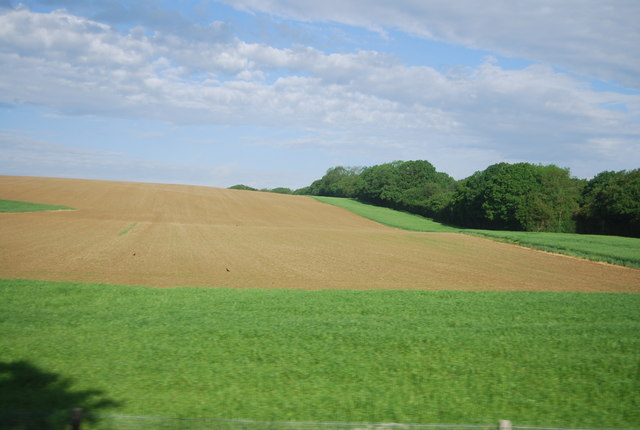
This idyllic parkland is renowned for its stunning natural beauty, boasting rolling green hills, ancient woodlands, and breathtaking panoramic views of the surrounding countryside. The park covers a vast area of approximately 500 acres, providing ample space for outdoor activities and recreational pursuits.
Marylands Park offers an array of facilities for residents and visitors to enjoy. The park features well-maintained walking trails, allowing visitors to explore the diverse flora and fauna that call this area home. Picnic areas and designated barbecue spots are scattered throughout the park, providing the perfect setting for family outings and gatherings.
In addition to its natural wonders, Marylands Park also offers a range of amenities. There is a well-equipped children's playground, complete with swings, slides, and climbing frames, ensuring that younger visitors are well entertained. Furthermore, the park provides ample parking facilities and well-maintained restroom facilities for the convenience of its visitors.
Overall, Marylands Park is a haven for nature lovers, offering a tranquil escape from the hustle and bustle of everyday life. Whether it be for a leisurely stroll, a family picnic, or simply to soak in the stunning views, this park is a must-visit destination for anyone seeking a slice of countryside charm in Sussex.
If you have any feedback on the listing, please let us know in the comments section below.
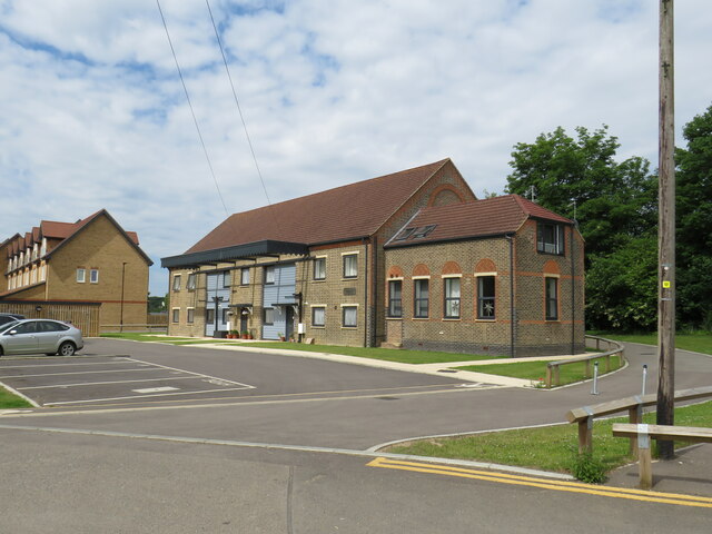
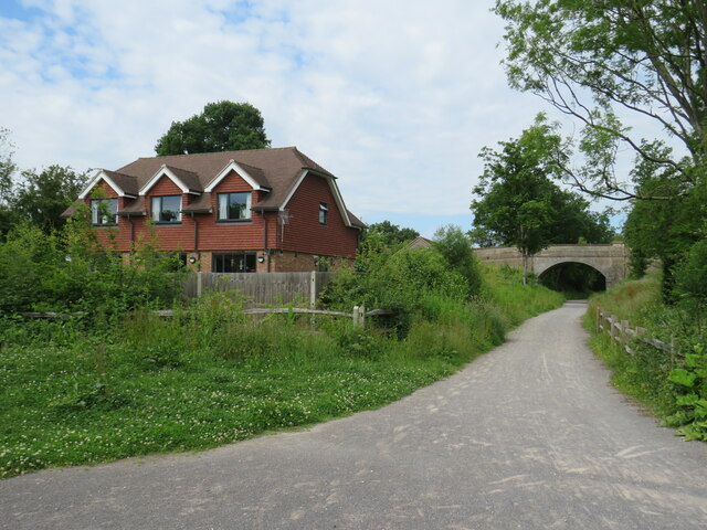
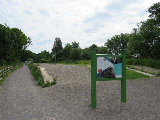
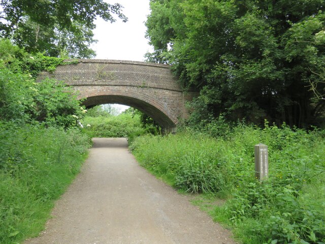
Marylands Park Images
Images are sourced within 2km of 51.039407/-0.38620556 or Grid Reference TQ1327. Thanks to Geograph Open Source API. All images are credited.


Marylands Park is located at Grid Ref: TQ1327 (Lat: 51.039407, Lng: -0.38620556)
Administrative County: West Sussex
District: Horsham
Police Authority: Sussex
What 3 Words
///unimpeded.clutter.mirroring. Near Southwater, West Sussex
Nearby Locations
Related Wikis

Itchingfield
Itchingfield is a small village and civil parish in the Horsham district of West Sussex, England. It lies on the Barns Green to Broadbridge Heath road...

Barns Green
Barns Green is a village in the Horsham district of West Sussex, England. It lies on the Billingshurst to Itchingfield road 2+1⁄2 miles (4.0 km) north...

Downs Link
The Downs Link is a 36.7 miles (59.1 km) footpath and bridleway linking the North Downs Way at St. Martha's Hill in Surrey with the South Downs Way near...
Christ's Hospital
Christ's Hospital is a public school (English fee-charging boarding school for pupils aged 11–18) with a royal charter located to the south of Horsham...
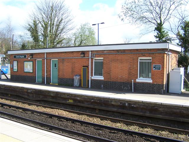
Christ's Hospital railway station
Christ's Hospital railway station is near Horsham in West Sussex, England. It is 40 miles 7 chains (64.5 km) down the line from London Bridge via Redhill...

Holy Innocents Church, Southwater
Holy Innocents Church is the Anglican parish church of Southwater, a village in the Horsham District of West Sussex, England. Built in 1849, the church...
Southwater
Southwater is a large village and civil parish in the Horsham District of West Sussex, England, with a population of roughly 10,000. It is administered...

Southwater railway station
Southwater was a railway station on the Steyning Line which served the village of Southwater. A goods siding allowed for the transportation of coal and...
Nearby Amenities
Located within 500m of 51.039407,-0.38620556Have you been to Marylands Park?
Leave your review of Marylands Park below (or comments, questions and feedback).