Linlathen
Settlement in Angus
Scotland
Linlathen
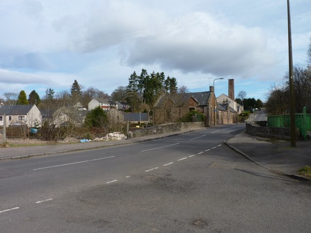
Linlathen is a small village located in the county of Angus, Scotland. Situated about 4 miles northeast of Dundee, it is surrounded by picturesque countryside and offers a peaceful and idyllic setting for its residents. The village is part of the parish of Liff and Benvie and falls within the council area of Angus.
Historically, Linlathen was known for its agriculture, with farming being the primary occupation of its inhabitants. However, in recent years, the village has seen some diversification, with a growing number of residents commuting to nearby towns for work.
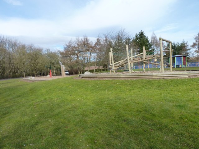
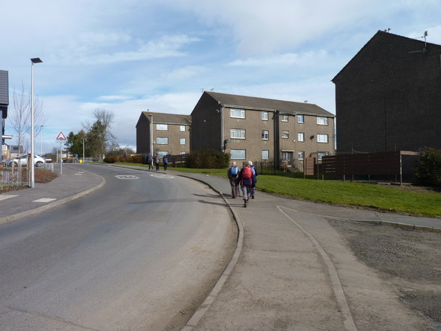
Linlathen is home to a close-knit community, with a small population of around 200 people. The village boasts a number of amenities to cater to the needs of its residents, including a local pub, a primary school, and a community hall where various events and gatherings take place throughout the year.
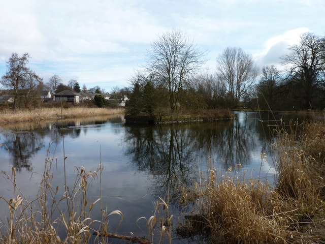
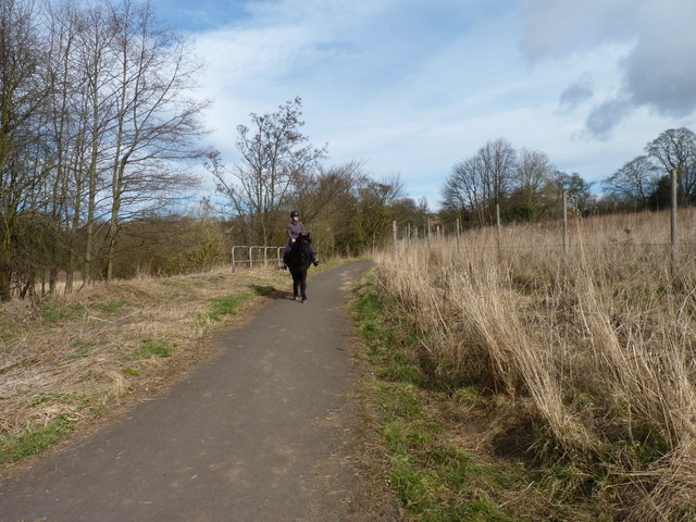
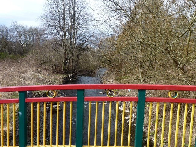
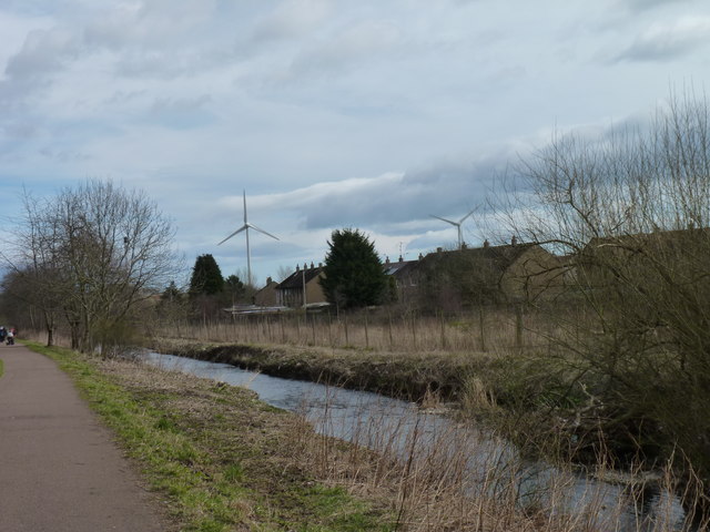
Nature enthusiasts will be delighted by the beautiful surroundings of Linlathen. The village is blessed with stunning landscapes, rolling hills, and nearby woodland areas, making it a perfect destination for outdoor activities such as hiking and cycling. Additionally, the village is in close proximity to the River Tay, offering opportunities for fishing and other water-based activities.
Overall, Linlathen is a charming and tranquil village, offering a peaceful retreat from the bustling city life. With its stunning natural beauty and strong sense of community, it is a place where residents can enjoy a high quality of life.
If you have any feedback on the listing, please let us know in the comments section below.
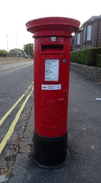
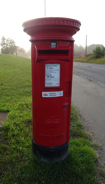
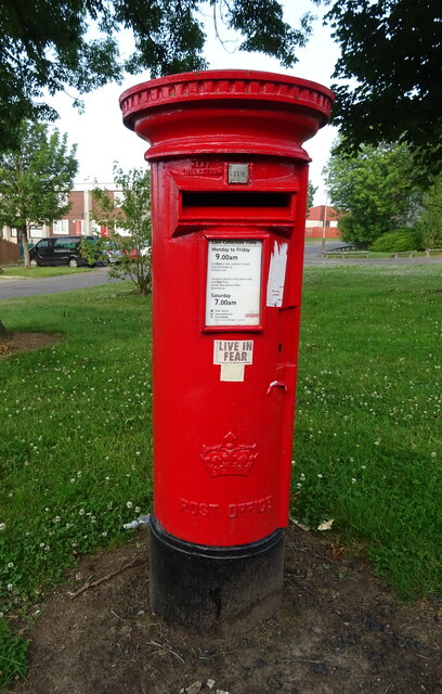
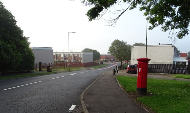
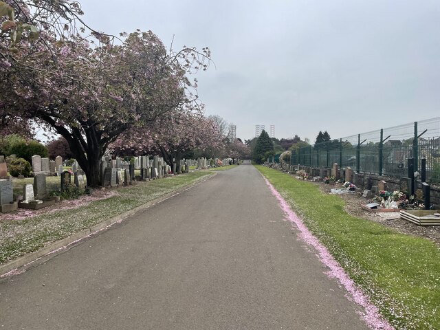
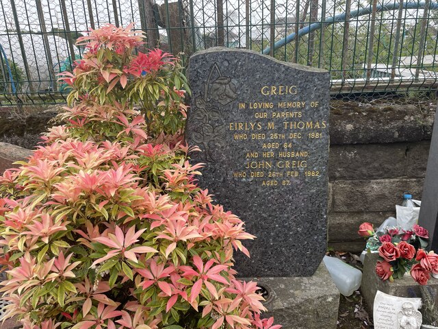
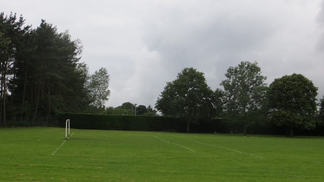
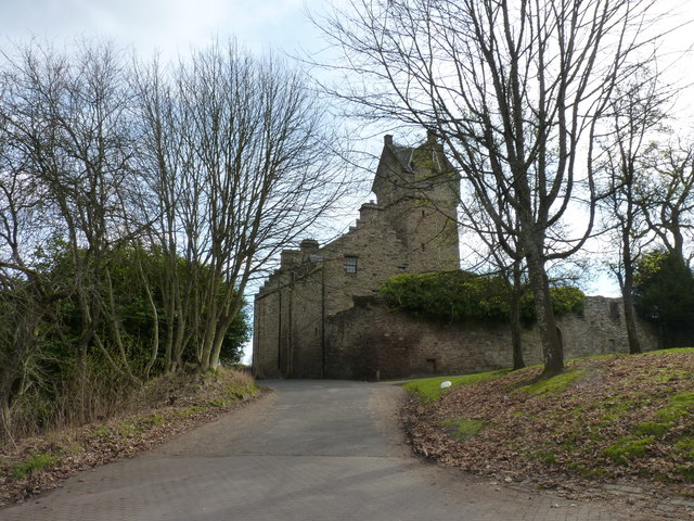
Linlathen Images
Images are sourced within 2km of 56.484972/-2.9434992 or Grid Reference NO4132. Thanks to Geograph Open Source API. All images are credited.
Linlathen is located at Grid Ref: NO4132 (Lat: 56.484972, Lng: -2.9434992)
Unitary Authority: City of Dundee
Police Authority: Tayside
What 3 Words
///catch.fluid.dish. Near Dundee, Dundee City
Nearby Locations
Related Wikis

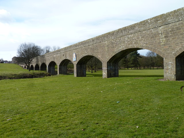
Finlathen Aqueduct
Finlathen Aqueduct is an aqueduct in Dundee, Scotland. It is Category B listed. == History == The aqueduct was constructed in the 1840s to carry water...

Fintry, Dundee
Fintry is a housing scheme in Dundee, Scotland. Fintry is located in the north of the city with Mill o' Mains to the west and Whitfield to the east. On...
Pitkerro
Pitkerro is an area in the eastern part of Dundee, Scotland, immediately west of Douglas and south of Fintry and Whitfield. Areas of Pitkerro include Kingsway...
Caird Park Velodrome
The Caird Park Velodrome is an outdoor 402.25-metre (1,319.7 ft) concrete velodrome in Dundee, Scotland. Adjacent to the velodrome is an athletics stadium...

Mill of Mains
Mill of Mains is a residential area located in the north of Dundee, Scotland. == Overview == === History === The area of Mill of Mains began construction...

Mains Castle
Mains Castle (also known as Claverhouse Castle or Fintry Castle ) is a 16th-century castle in Dundee, Scotland. The castle consists of several buildings...

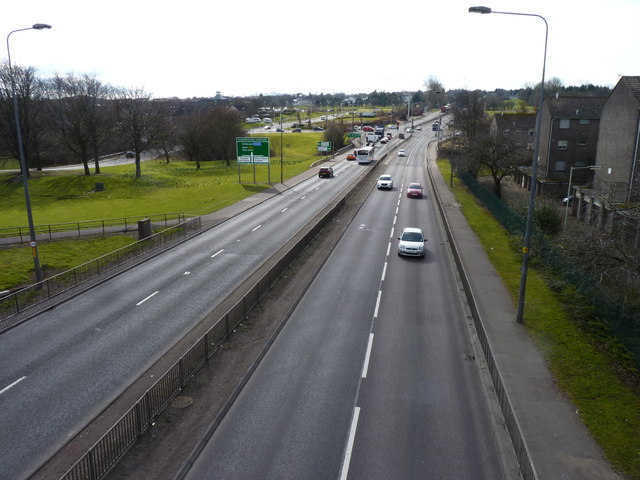
A972 road
The A972 is a major road in Dundee, Scotland. It forms part of the dual carriageway known as the 'Kingsway', that runs through the northern part of Dundee...

A991 road
The A991 is a major road in Dundee, Scotland. It forms the Inner Ringroad that circles the perimeter of Dundee's city centre. == Route == The A991 previously...
Related Videos

4K DUNDEE, Scotland - City Centre walking tour
dundee #dundeescotland #historicalplaces #historicalplacesinscotland Dundee, Scotland. Dundee, a major industrial city, royal ...

Walking in ** DUNDEE ** Scotland- 4K Walking Tour Dundee City - Dundee Streets !!!
Walking in ** DUNDEE ** Scotland- 4K Walking Tour Dundee City - Dundee Streets !!! 2023 virtual walk Dundee, Scotland ...

Walking Around Dundee | Scotland - Summer 2021
We explore Dundee City Centre on a warm sunny day during the summer. 0:00 Nethergate 3:36 Dundee City Square 5:23 High ...

The ULTIMATE Tourist Guide To DUNDEE - V&A / Discovery / HMS Unicorn - Walking Tour | 4K | 60FPS
Dundee is one of Scotland's most up and coming cities, with a diverse population and massive renovation in recent years. The city ...
Nearby Amenities
Located within 500m of 56.484972,-2.9434992Have you been to Linlathen?
Leave your review of Linlathen below (or comments, questions and feedback).