Marridge Hill
Settlement in Wiltshire
England
Marridge Hill
Marriage Hill is a small village located in the county of Wiltshire, England. Situated approximately 5 miles southeast of the town of Marlborough, it is nestled in the picturesque landscape of the Marlborough Downs.
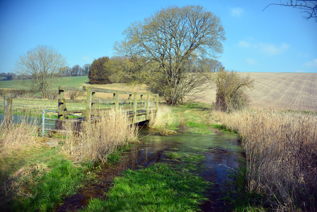
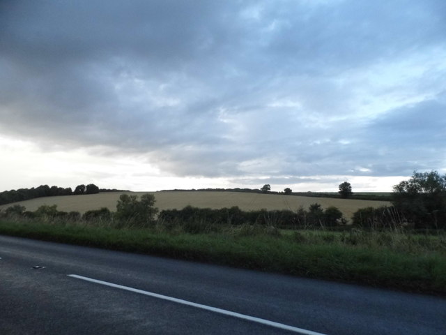
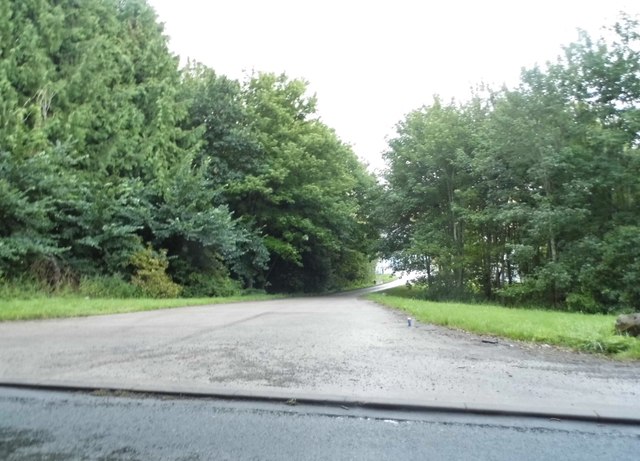
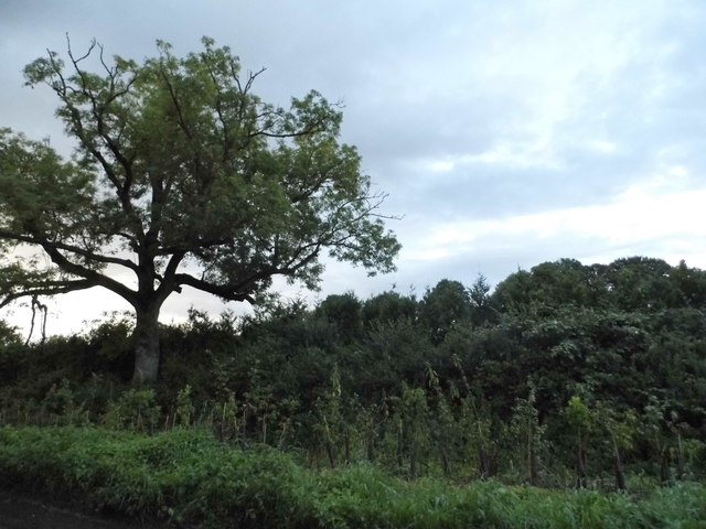
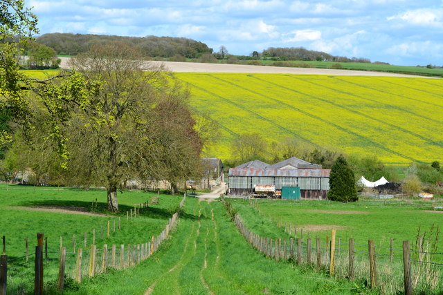
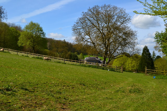
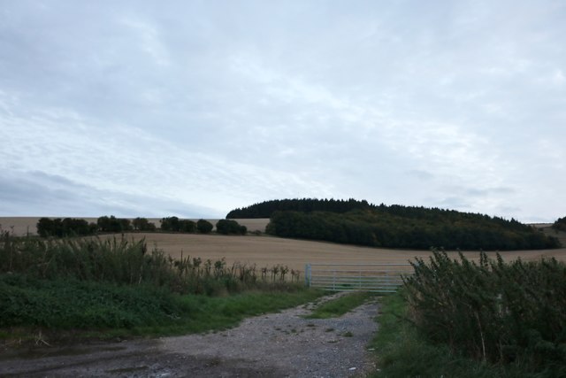
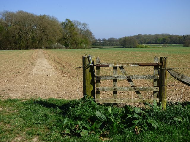
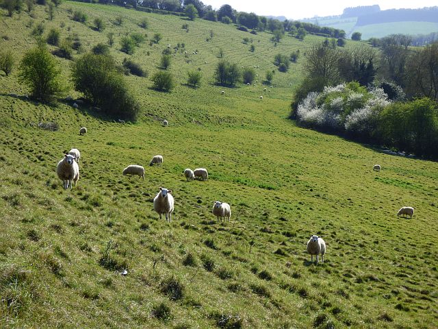
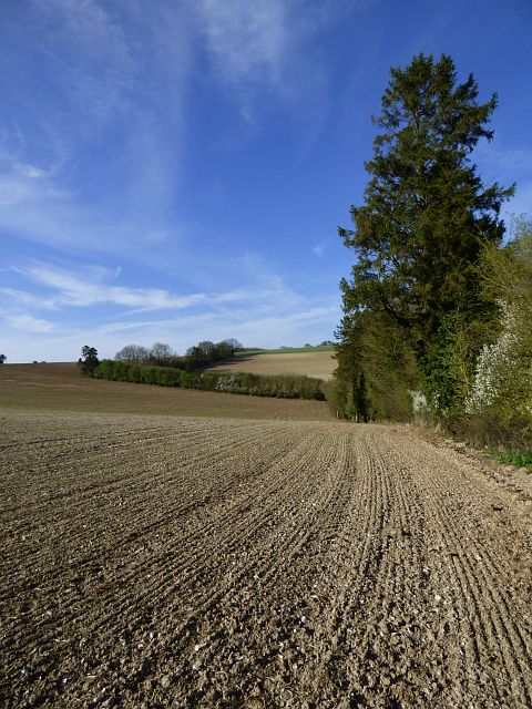
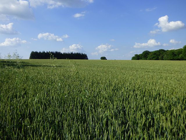
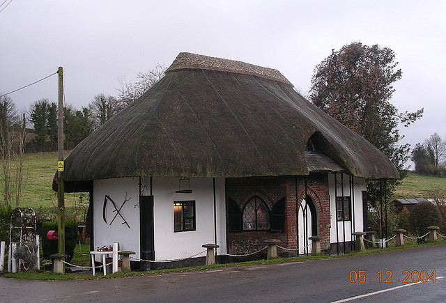
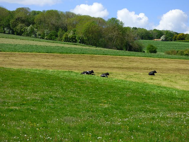
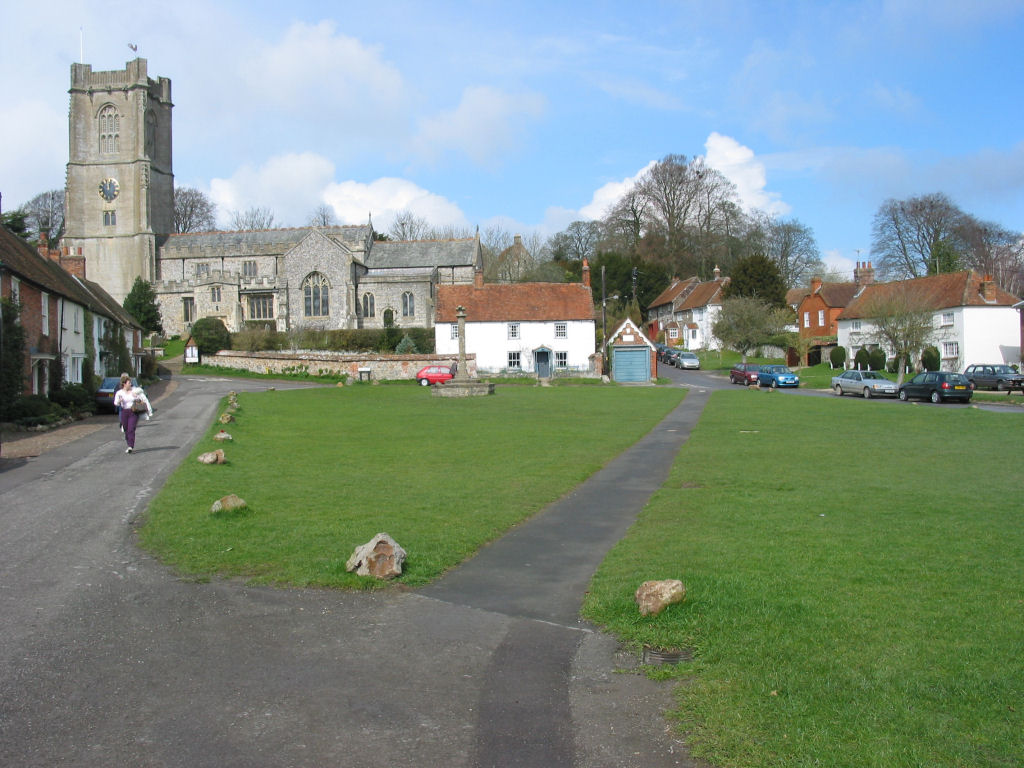
The village is renowned for its idyllic setting, surrounded by rolling hills, lush green fields, and tranquil woodlands. The rural charm of Marriage Hill is further enhanced by the presence of several historic buildings, including a 12th-century church, St. Mary's, which stands as a testament to the village's rich heritage.
With a population of around 300 residents, Marriage Hill exudes a close-knit and friendly community atmosphere. The village offers a range of amenities, including a primary school, a village hall, and a local pub, which serves as a hub for social gatherings and events.
Nature enthusiasts and outdoor lovers are drawn to Marriage Hill's stunning surroundings, with numerous walking and cycling trails crisscrossing the countryside. The area is also home to an array of wildlife, making it a haven for birdwatching and nature photography.
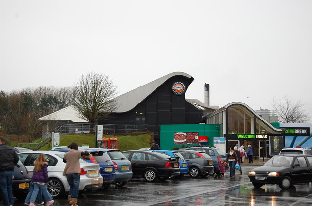
Although predominantly a residential area, Marriage Hill benefits from its proximity to Marlborough, where residents can access a wider range of services, including supermarkets, shops, and leisure facilities.
Overall, Marriage Hill offers a peaceful and picturesque place to live, with its beautiful landscapes, rich history, and strong sense of community making it an attractive destination for those seeking a slower-paced, rural lifestyle in the heart of Wiltshire.
If you have any feedback on the listing, please let us know in the comments section below.
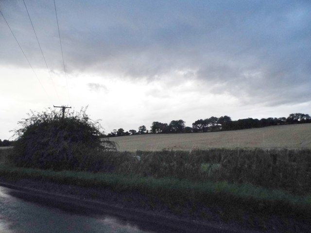
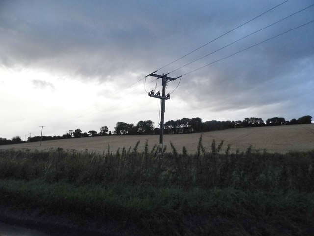
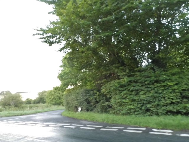
Marridge Hill Images
Images are sourced within 2km of 51.467773/-1.5880808 or Grid Reference SU2874. Thanks to Geograph Open Source API. All images are credited.
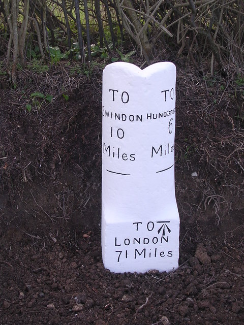
Marridge Hill is located at Grid Ref: SU2874 (Lat: 51.467773, Lng: -1.5880808)
Unitary Authority: Wiltshire
Police Authority: Wiltshire
What 3 Words
///majoring.trucked.distanced. Near Aldbourne, Wiltshire
Nearby Locations
Related Wikis

Membury Camp
Membury Camp, or Membury Fort, is the site of an Iron Age hill fort located on the borders of Wiltshire and Berkshire, (the county line divides the site...
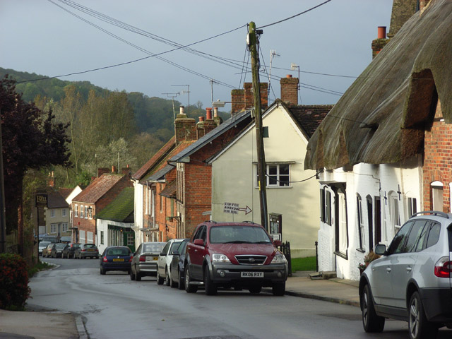
Aldbourne
Aldbourne ( AWLD-born) is a village and civil parish about 6 miles (10 km) north-east of Marlborough, Wiltshire, England, in a valley on the south slope...
Membury services
Membury services is a motorway service station on the M4 motorway, located on the original site of RAF Membury in the civil parish of Lambourn in the English...
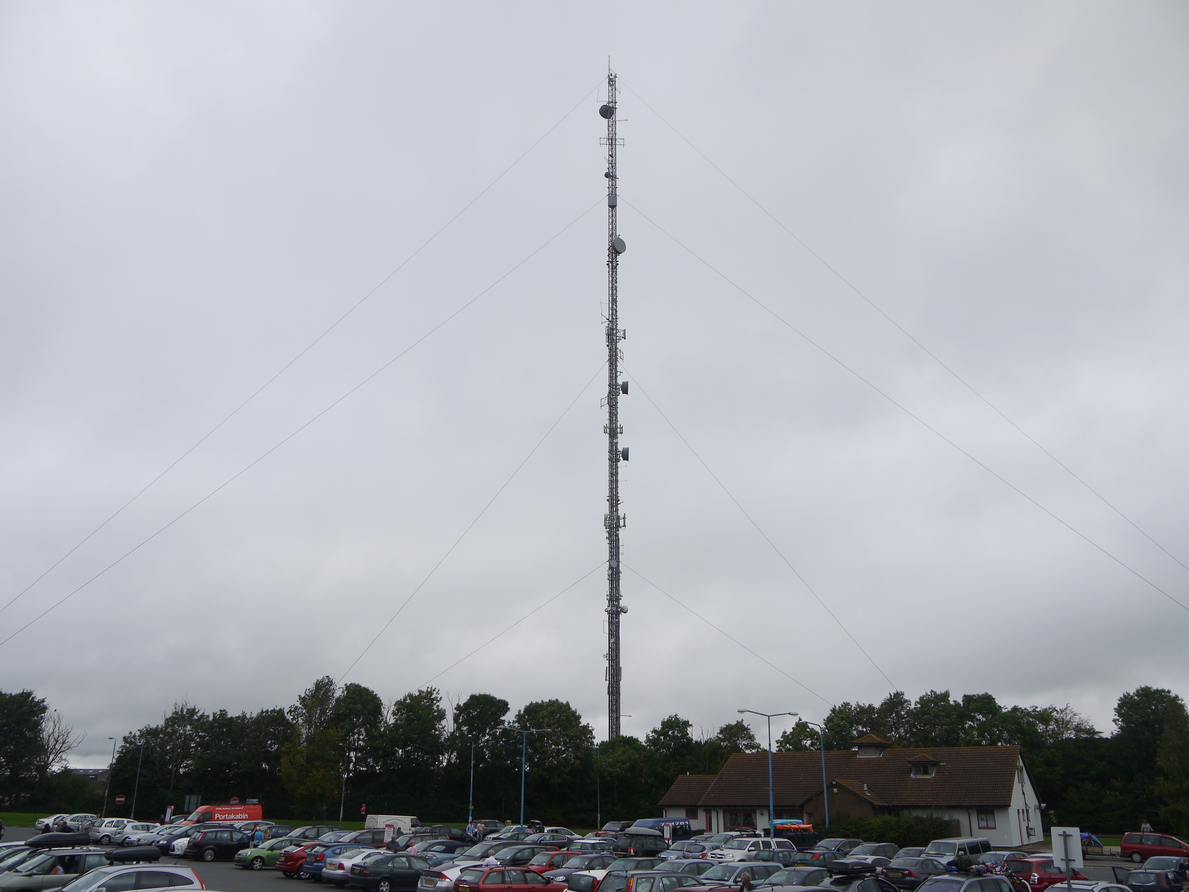
Membury transmitting station
The Membury transmitting station is a broadcasting and telecommunications facility, situated adjacent to the M4 motorway at the Membury services in the...

Ramsbury Rural District
Ramsbury was a rural district in Wiltshire, England from 1894 to 1934 around the village of Ramsbury. It was formed under the Local Government Act 1894...
Ramsbury
Ramsbury is a village and civil parish in the English county of Wiltshire. The village is in the Kennet Valley near the Berkshire boundary. The nearest...

Baydon
Baydon is a village and civil parish in Wiltshire, England about 10 miles (16 km) south-east of Swindon. The eastern boundary of the parish forms part...

Lambourn Woodlands
Lambourn Woodlands is a hamlet in the English county of Berkshire. The village is situated in the civil parish of Lambourn, and is 2 miles (3.2 km) to...
Related Videos
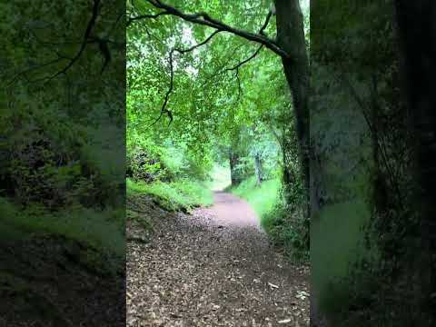
Walking around the Ramsbury Estate
Enjoy a short virtual hike through gorgeous woodlands on the Ramsbury Estate, Wiltshire, England. With beautiful trees and a ...

Christmassy Vibes 🎄🎅
The start of Christmas decorations marks the onset of a joyful and festive atmosphere, where homes, streets, and stores come ...


Nearby Amenities
Located within 500m of 51.467773,-1.5880808Have you been to Marridge Hill?
Leave your review of Marridge Hill below (or comments, questions and feedback).