Anchor Copse
Wood, Forest in Wiltshire
England
Anchor Copse
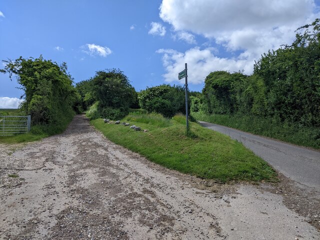
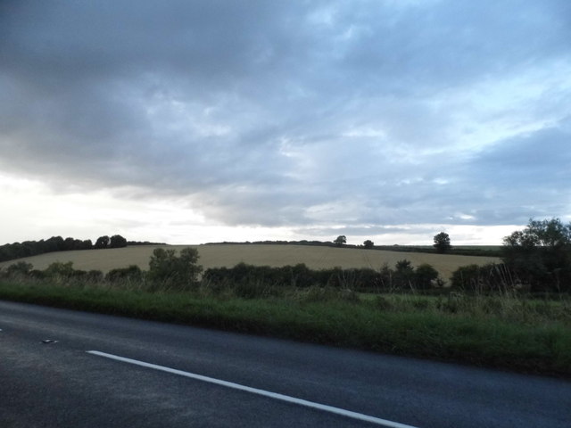
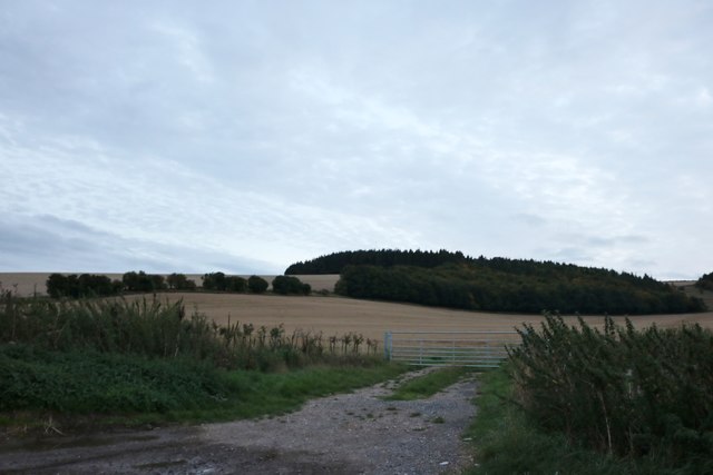
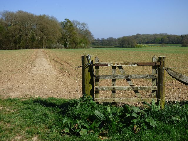
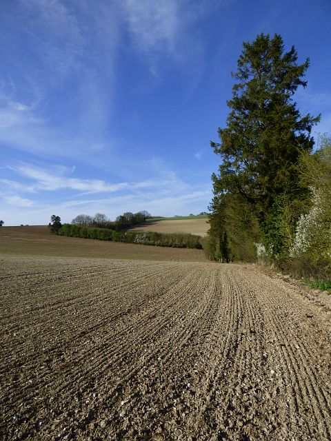
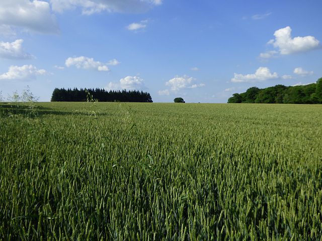
Anchor Copse is a picturesque woodland located in the county of Wiltshire, England. Situated near the village of Westbury, it covers an area of approximately 10 acres and is a popular destination for nature enthusiasts and hikers alike.
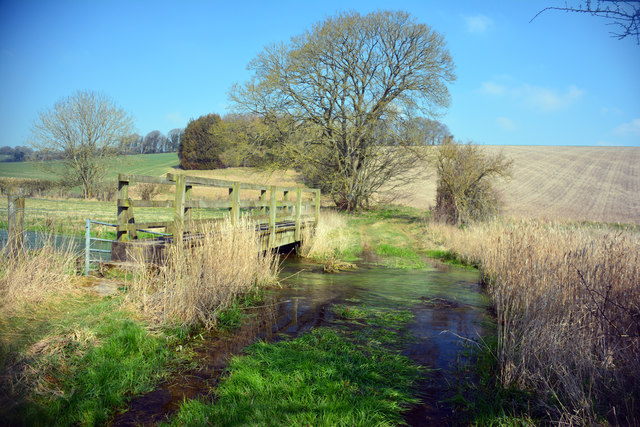
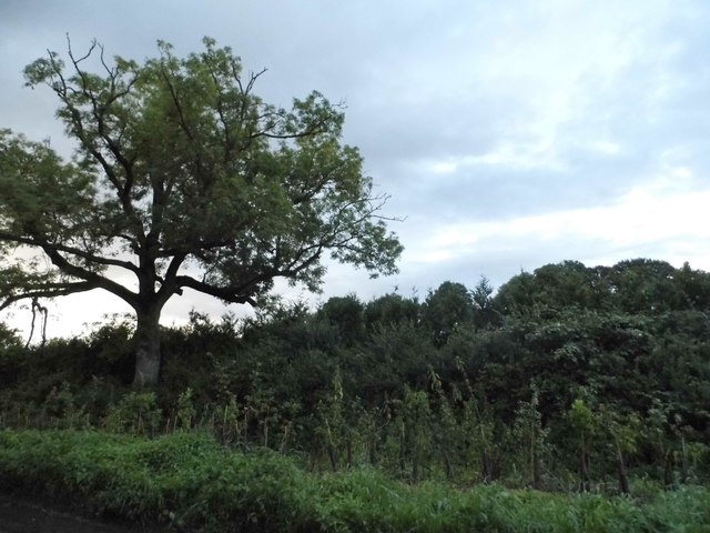
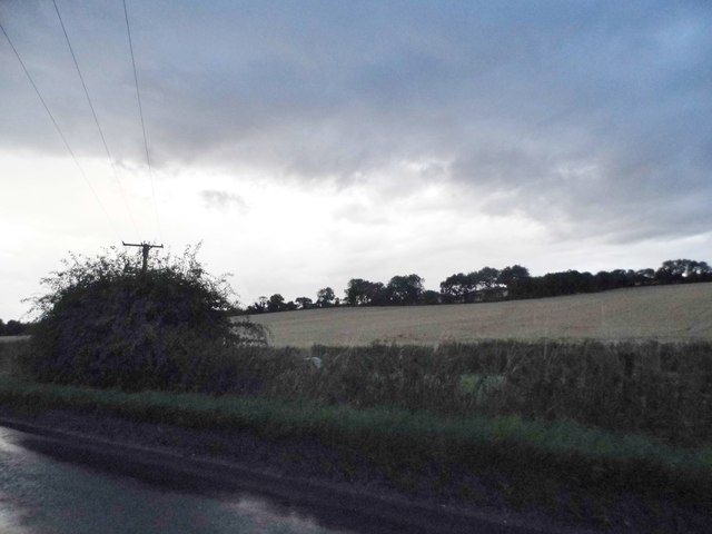
The copse is mainly composed of deciduous trees, including oak, beech, and ash, which create a dense canopy overhead. The foliage provides a vibrant display of colors during the autumn months, attracting visitors from far and wide. Additionally, the forest floor is adorned with an array of wildflowers, adding to the copse's natural beauty.
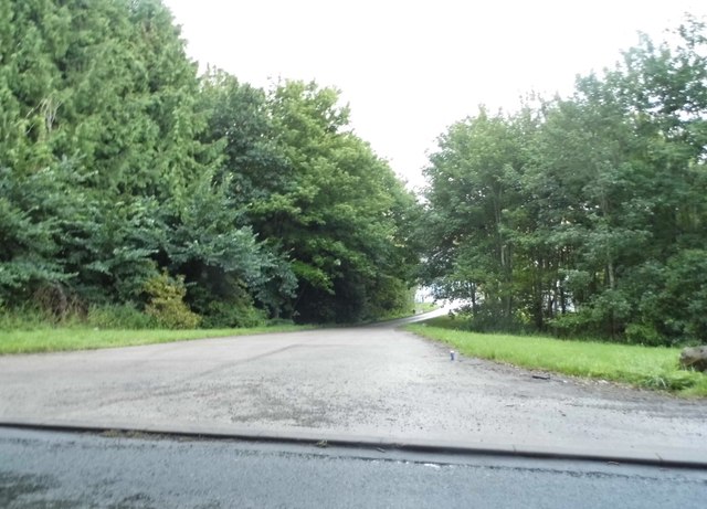
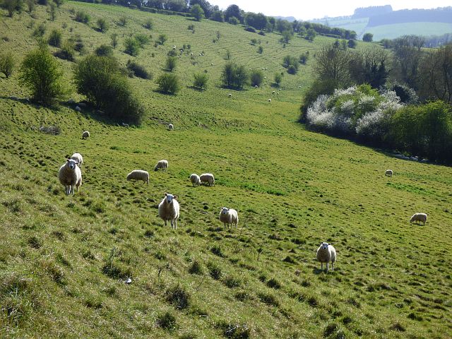
Tranquility and serenity are key features of Anchor Copse, making it an ideal spot for relaxation and contemplation. The peaceful ambiance is enhanced by the absence of major roads nearby, ensuring a quiet and undisturbed experience. The copse also acts as a haven for various wildlife species, including deer, badgers, and numerous bird species, making it a prime location for birdwatching enthusiasts.
Visitors to Anchor Copse can enjoy a network of well-maintained footpaths that wind through the woodland, providing opportunities for leisurely strolls or more challenging hikes. There are also designated picnic areas, allowing visitors to appreciate the copse's natural surroundings while enjoying a meal or snack.
Overall, Anchor Copse offers a tranquil escape from the hustle and bustle of daily life, providing a unique opportunity to connect with nature and explore the beauty of Wiltshire's woodlands.
If you have any feedback on the listing, please let us know in the comments section below.
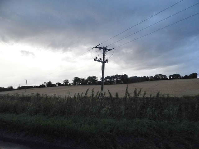
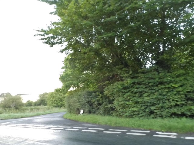
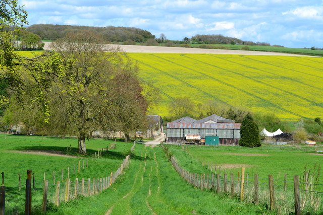
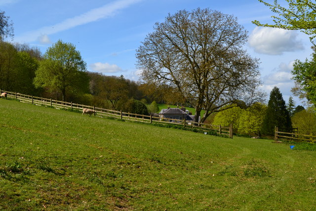
Anchor Copse Images
Images are sourced within 2km of 51.468786/-1.5924194 or Grid Reference SU2874. Thanks to Geograph Open Source API. All images are credited.
Anchor Copse is located at Grid Ref: SU2874 (Lat: 51.468786, Lng: -1.5924194)
Unitary Authority: Wiltshire
Police Authority: Wiltshire
What 3 Words
///repeat.overused.escapades. Near Aldbourne, Wiltshire
Nearby Locations
Related Wikis

Membury Camp
Membury Camp, or Membury Fort, is the site of an Iron Age hill fort located on the borders of Wiltshire and Berkshire, (the county line divides the site...
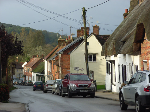
Aldbourne
Aldbourne ( AWLD-born) is a village and civil parish about 6 miles (10 km) north-east of Marlborough, Wiltshire, England, in a valley on the south slope...
Membury services
Membury services is a motorway service station on the M4 motorway, located on the original site of RAF Membury in the civil parish of Lambourn in the English...
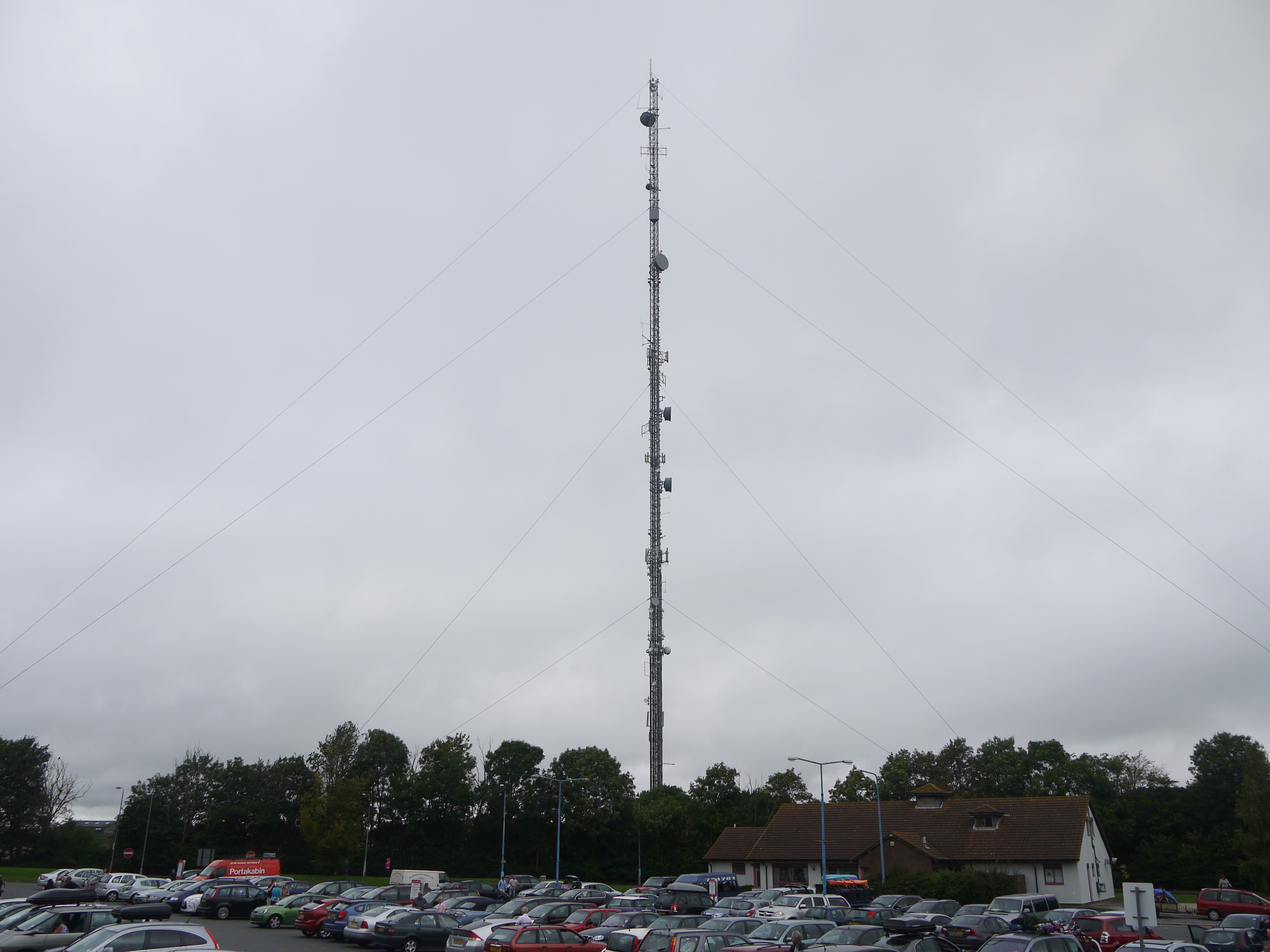
Membury transmitting station
The Membury transmitting station is a broadcasting and telecommunications facility, situated adjacent to the M4 motorway at the Membury services in the...

Ramsbury Rural District
Ramsbury was a rural district in Wiltshire, England from 1894 to 1934 around the village of Ramsbury. It was formed under the Local Government Act 1894...
Ramsbury
Ramsbury is a village and civil parish in the English county of Wiltshire. The village is in the Kennet Valley near the Berkshire boundary. The nearest...

Baydon
Baydon is a village and civil parish in Wiltshire, England about 10 miles (16 km) south-east of Swindon. The eastern boundary of the parish forms part...

Lambourn Woodlands
Lambourn Woodlands is a hamlet in the English county of Berkshire. The village is situated in the civil parish of Lambourn, and is 2 miles (3.2 km) to...
Nearby Amenities
Located within 500m of 51.468786,-1.5924194Have you been to Anchor Copse?
Leave your review of Anchor Copse below (or comments, questions and feedback).