Marridge Hill
Hill, Mountain in Wiltshire
England
Marridge Hill
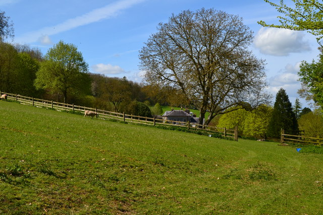
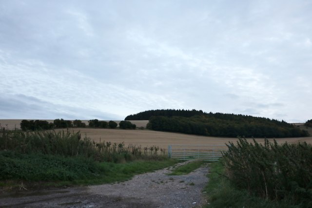
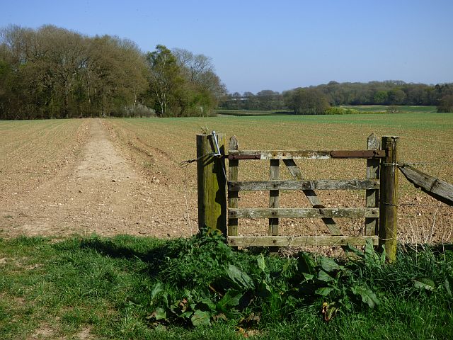
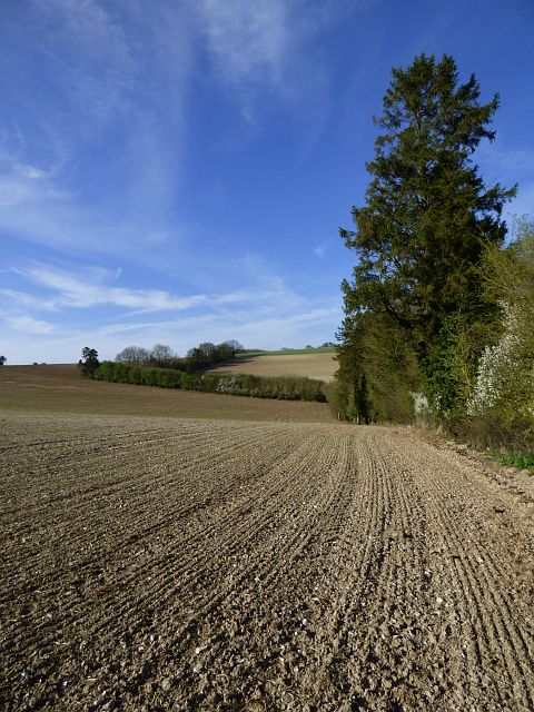
Marriage Hill, located in Wiltshire, England, is a prominent hill that forms part of the Marlborough Downs, a range of chalk hills in southern England. Rising to an elevation of 242 meters (794 feet), it offers picturesque panoramic views of the surrounding countryside.
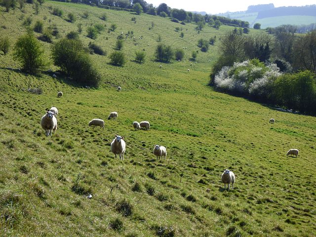
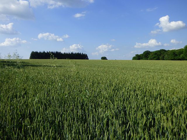
This hill is characterized by its gentle slopes and is predominantly covered in grassland, interspersed with patches of scrub and woodland. It is a popular destination for outdoor enthusiasts, as it provides various scenic walks and hikes, allowing visitors to immerse themselves in the natural beauty of the area.
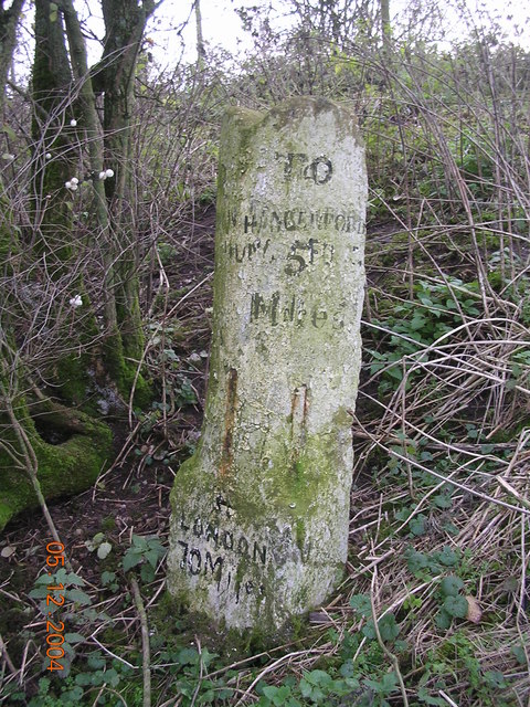
One of the key attractions of Marriage Hill is its historical significance. The hill is home to several ancient burial mounds and barrows, dating back to the Neolithic and Bronze Age periods. These archaeological features have provided valuable insights into the lives and rituals of the early inhabitants of this region.
Additionally, Marriage Hill boasts a rich biodiversity, supporting a variety of plant and animal species. The diverse habitats found here include chalk grasslands, which are home to rare and delicate wildflowers such as orchids and cowslips. The hill also attracts a range of bird species, including skylarks and kestrels, making it a haven for birdwatchers.
Overall, Marriage Hill in Wiltshire offers a unique blend of historical, natural, and recreational experiences for visitors, making it an excellent destination for those seeking a tranquil and educational retreat in the heart of the English countryside.
If you have any feedback on the listing, please let us know in the comments section below.
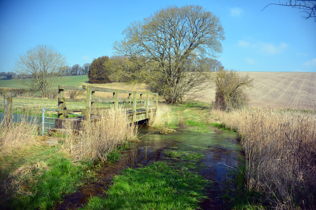
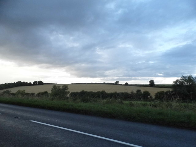
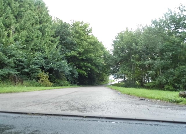
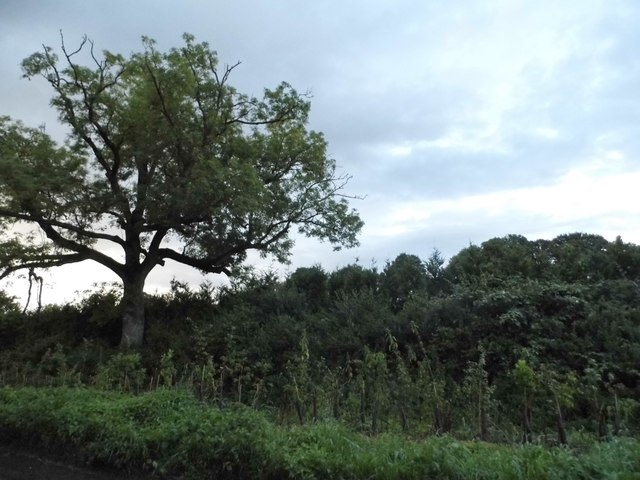
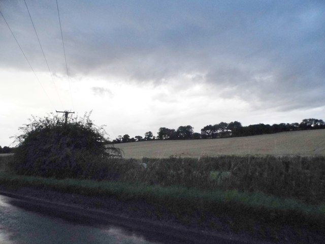
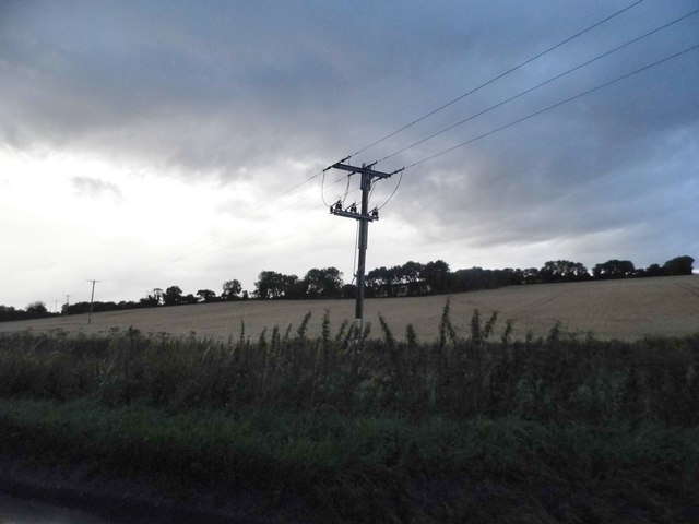
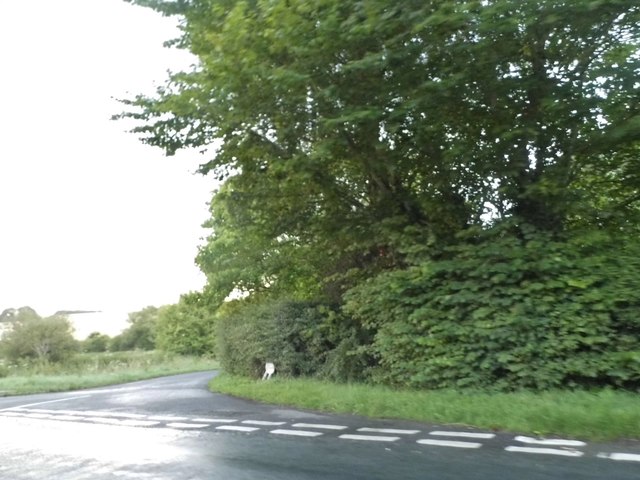
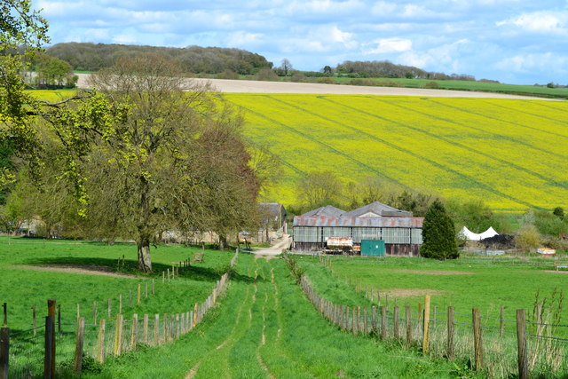
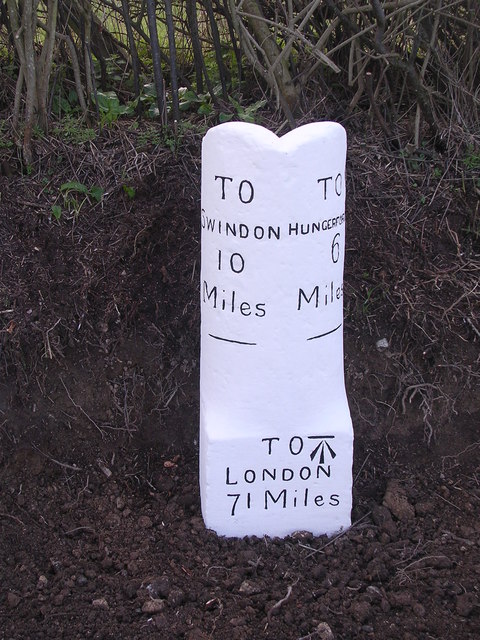
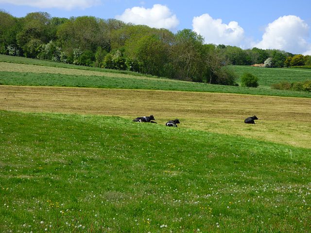
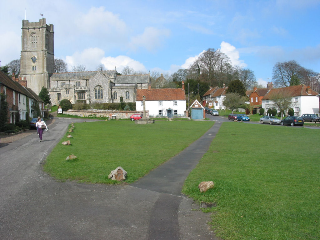
Marridge Hill Images
Images are sourced within 2km of 51.468879/-1.5879125 or Grid Reference SU2874. Thanks to Geograph Open Source API. All images are credited.
Marridge Hill is located at Grid Ref: SU2874 (Lat: 51.468879, Lng: -1.5879125)
Unitary Authority: Wiltshire
Police Authority: Wiltshire
What 3 Words
///flame.dressy.amicably. Near Aldbourne, Wiltshire
Nearby Locations
Related Wikis

Membury Camp
Membury Camp, or Membury Fort, is the site of an Iron Age hill fort located on the borders of Wiltshire and Berkshire, (the county line divides the site...
Aldbourne
Aldbourne ( AWLD-born) is a village and civil parish about 6 miles (10 km) north-east of Marlborough, Wiltshire, England, in a valley on the south slope...
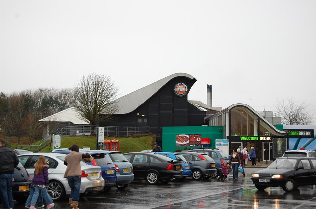
Membury services
Membury services is a motorway service station on the M4 motorway, located on the original site of RAF Membury in the civil parish of Lambourn in the English...
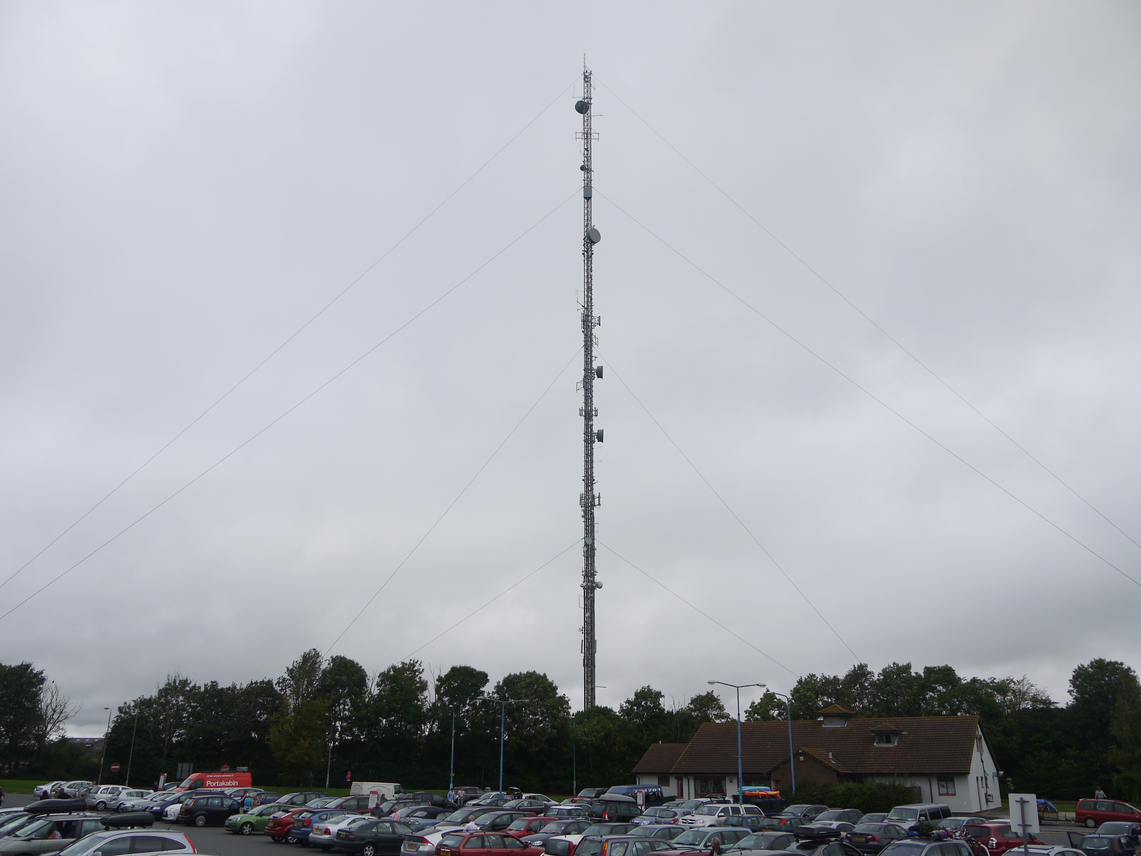
Membury transmitting station
The Membury transmitting station is a broadcasting and telecommunications facility, situated adjacent to the M4 motorway at the Membury services in the...
Nearby Amenities
Located within 500m of 51.468879,-1.5879125Have you been to Marridge Hill?
Leave your review of Marridge Hill below (or comments, questions and feedback).