Clay Hill

Hill, Mountain in Hampshire New Forest

England

Clay Hill

The Rufus Stone
The Rufus Stone Credit: Helen Steed

Clay Hill is a small hill located in Hampshire, England. It is part of the South Downs National Park, which is known for its stunning natural beauty and diverse wildlife. With an elevation of approximately 193 meters (633 feet), Clay Hill offers visitors panoramic views of the surrounding countryside, making it a popular destination for outdoor enthusiasts and photographers.

The hill is primarily composed of chalk, a soft, white sedimentary rock that is abundant in the region. This chalky terrain gives the hill its distinctive appearance and contributes to the unique flora and fauna found in the area. Clay Hill is home to a variety of plant species, including wildflowers, grasses, and shrubs, which attract a wide range of butterflies, bees, and other insects.

The hill provides ample opportunities for outdoor activities such as hiking, walking, and cycling, with numerous footpaths and trails crisscrossing its slopes. The surrounding landscape is characterized by gently rolling hills, picturesque valleys, and quaint villages, creating a peaceful and tranquil atmosphere.

One notable feature of Clay Hill is its proximity to the historic town of Winchester, which is located just a few miles to the north. Winchester, the ancient capital of England, offers visitors a wealth of cultural and historical attractions, including Winchester Cathedral and the Great Hall, home to the legendary Round Table of King Arthur.

Overall, Clay Hill is a natural gem within the Hampshire countryside, offering visitors a chance to immerse themselves in the beauty of the South Downs and explore the rich history and heritage of the region.

If you have any feedback on the listing, please let us know in the comments section below.
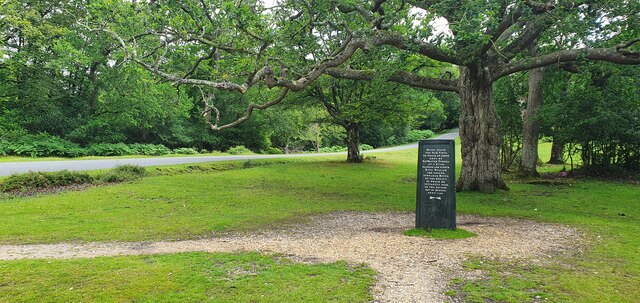
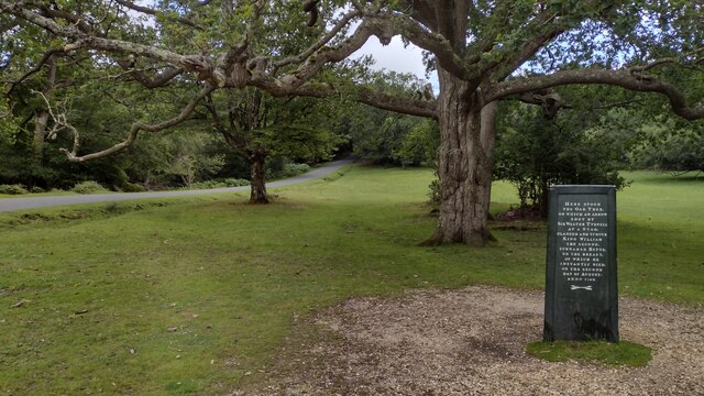
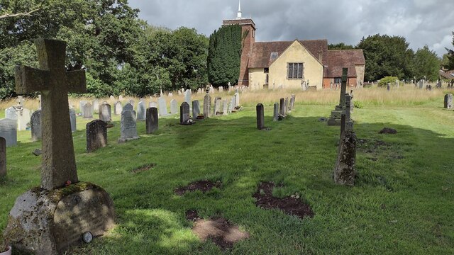
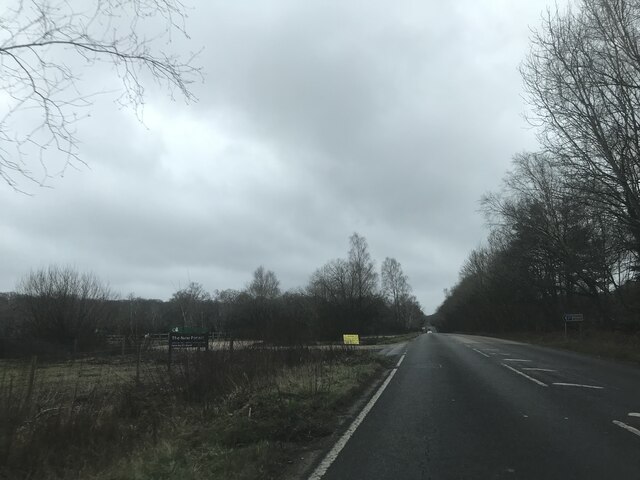
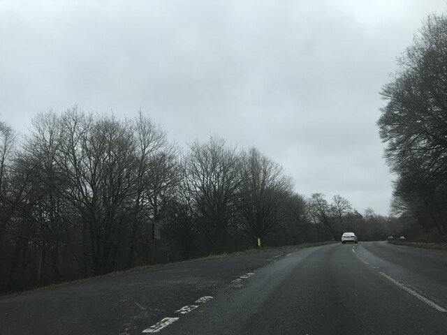
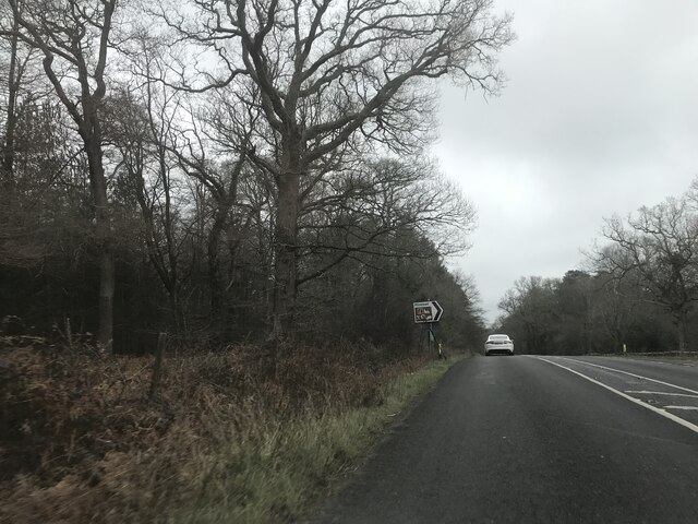
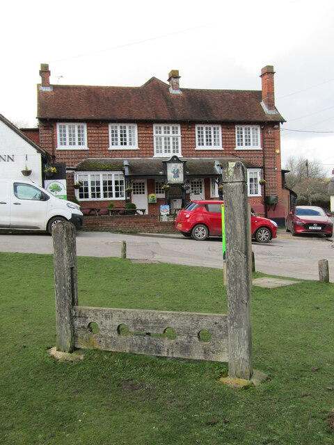
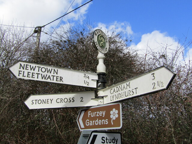
Clay Hill Images

Images are sourced within 2km of 50.905592/-1.5927742 or Grid Reference SU2811. Thanks to Geograph Open Source API. All images are credited.

The Rufus Stone
The Rufus Stone
Minstead : The A31 Looking along the A31.
Minstead : The A31
Looking along the A31.
Garden at White Hart Public House
Rufus Stone Rufus Stone encased in a protective cover
Rufus Stone
Rufus Stone encased in a protective cover
Sir Arthur Conan Doyle's Grave Sir Arthur Conan Doyle and his wife's grave All Saints Church
Sir Arthur Conan Doyle's Grave
Sir Arthur Conan Doyle and his wife's grave All Saints Church
Car Park off A337 - southbound
Junction on A337 southbound
Signage - A337 southbound
Signage - A31 northbound
All Saints, Minstead
The Trusty Servant Inn
The Pond Furzey Gardens
The Pond
Furzey Gardens
Minstead -Trusty Servant Pub Sign The unusual village pub sign at Minstead, "The Trusty Servant", portrays an allegorical servant - the picture is a copy of a painting in Winchester College where servants attended to rich scholars.
<span class="nowrap"><a title="www.minstead.org.uk" rel="nofollow ugc noopener" href="http://www.minstead.org.uk">Link</a><img style="margin-left:2px;" alt="External link" title="External link - shift click to open in new window" src="https://s1.geograph.org.uk/img/external.png" width="10" height="10"/></span>
Minstead -Trusty Servant Pub Sign
The unusual village pub sign at Minstead, "The Trusty Servant", portrays an allegorical servant - the picture is a copy of a painting in Winchester College where servants attended to rich scholars. LinkExternal link
Minstead - The Trusty Servant The unusual pub sign at Minstead's "The Trusty Servant" portrays an allegorical servant - the picture is a copy of a painting in Winchester College where servants attended to rich scholars.
<span class="nowrap"><a title="www.minstead.org.uk" rel="nofollow ugc noopener" href="http://www.minstead.org.uk">Link</a><img style="margin-left:2px;" alt="External link" title="External link - shift click to open in new window" src="https://s1.geograph.org.uk/img/external.png" width="10" height="10"/></span>
<span class="nowrap"><a title="www.thetrustyservant.co.uk" rel="nofollow ugc noopener" href="http://www.thetrustyservant.co.uk">Link</a><img style="margin-left:2px;" alt="External link" title="External link - shift click to open in new window" src="https://s1.geograph.org.uk/img/external.png" width="10" height="10"/></span>
Minstead - The Trusty Servant
The unusual pub sign at Minstead's "The Trusty Servant" portrays an allegorical servant - the picture is a copy of a painting in Winchester College where servants attended to rich scholars. LinkExternal link LinkExternal link
Minstead - Stocks This double-seater stocks on the village green at Minstead is located outside the "Trusty Servant" inn. 
<span class="nowrap"><a title="www.minstead.org.uk" rel="nofollow ugc noopener" href="http://www.minstead.org.uk">Link</a><img style="margin-left:2px;" alt="External link" title="External link - shift click to open in new window" src="https://s1.geograph.org.uk/img/external.png" width="10" height="10"/></span>
<span class="nowrap"><a title="www.thetrustyservant.co.uk" rel="nofollow ugc noopener" href="http://www.thetrustyservant.co.uk">Link</a><img style="margin-left:2px;" alt="External link" title="External link - shift click to open in new window" src="https://s1.geograph.org.uk/img/external.png" width="10" height="10"/></span>
Minstead - Stocks
This double-seater stocks on the village green at Minstead is located outside the "Trusty Servant" inn. LinkExternal link LinkExternal link
Minstead - Hampshire Signpost at a crossroads in the heart of Minstead village. The post carries a roundel finial and the fingerposts point to Cadnam, Newtown and Stoney Cross. More modern signs below point to Furzey Gardens and to a Study Centre.
<span class="nowrap"><a title="www.minstead.org.uk" rel="nofollow ugc noopener" href="http://www.minstead.org.uk">Link</a><img style="margin-left:2px;" alt="External link" title="External link - shift click to open in new window" src="https://s1.geograph.org.uk/img/external.png" width="10" height="10"/></span>
Minstead - Hampshire
Signpost at a crossroads in the heart of Minstead village. The post carries a roundel finial and the fingerposts point to Cadnam, Newtown and Stoney Cross. More modern signs below point to Furzey Gardens and to a Study Centre. LinkExternal link
Show me another place!

Clay Hill is located at Grid Ref: SU2811 (Lat: 50.905592, Lng: -1.5927742)

Administrative County: Hampshire

District: New Forest

Police Authority: Hampshire

What 3 Words

///hometown.most.albums. Near Cadnam, Hampshire

Related Wikis

Minstead Lodge

Minstead Lodge in Hampshire is a building of historical significance built in about 1830 and is Grade II listed on the English Heritage Register. Today...

Cadnam

Cadnam is a village situated in Hampshire, England, within the boundaries of the New Forest National Park. The village has existed since the medieval period...

Minstead

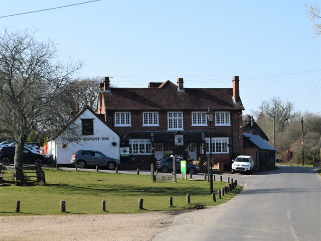
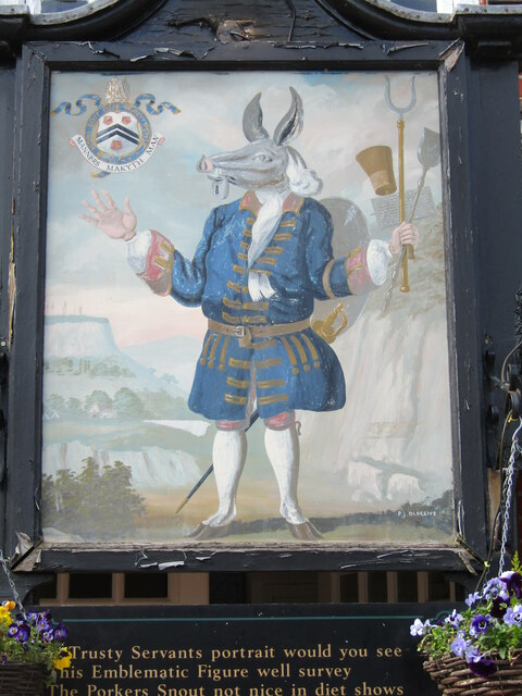
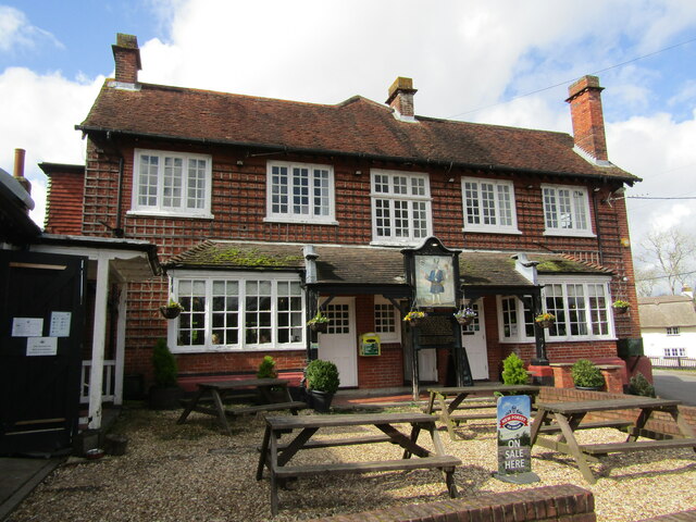
Minstead is a small village and civil parish in the New Forest, Hampshire, about 2 miles (3.2 km) north of Lyndhurst. There is a shop and a pub, the Trusty...

Bartley Lodge

Bartley Lodge is a country house near Cadnam in Hampshire, England, within the boundaries of the New Forest National Park. It was built in the 18th century...

Upper Canterton

Upper Canterton is a village in Hampshire, England, located at 50°54′36″N 1°37′24″W. It is near Minstead. == References == The geographic coordinates are...

Brook, New Forest

Brook is a hamlet in the civil parish of Bramshaw, in Hampshire, England. It lies just inside the New Forest. The hamlet contains a mix of 18th and 19th...

Bartley, Hampshire

Bartley is a village in Hampshire, England, within the boundaries of the New Forest National Park, seven miles (11 km) west of Southampton. == Overview... ==

Emery Down

Emery Down is a small village in the New Forest National Park in Hampshire, England. Its nearest town is Lyndhurst, which lies approximately 1.4 miles...

Nearby Amenities

Located within 500m of 50.905592,-1.5927742
Crabtree Lawn
Place: locality
Lat/Long: 50.9086415/-1.5881944
Clay Hill
Ele: 73
Natural: peak
Lat/Long: 50.9053549/-1.5924842
Hazel Hill
Place: locality
Lat/Long: 50.9029835/-1.5884574
Turning Circle
Lat/Long: 50.9085087/-1.5973557
Ford: yes
Lat/Long: 50.9085581/-1.5892943
Hazel Hill
Board Type: welcome_sign
Direction: 0
Information: board
Operator: Forestry England
Tourism: information
Lat/Long: 50.9044554/-1.5901826
London Minstead
Place: hamlet
Lat/Long: 50.902373/-1.5966172
The data included in this document is from www.openstreetmap.org. The data is made available under ODbL.

Have you been to Clay Hill?

Leave your review of Clay Hill below (or comments, questions and feedback).