Pigs' Hill
Hill, Mountain in Wiltshire
England
Pigs' Hill
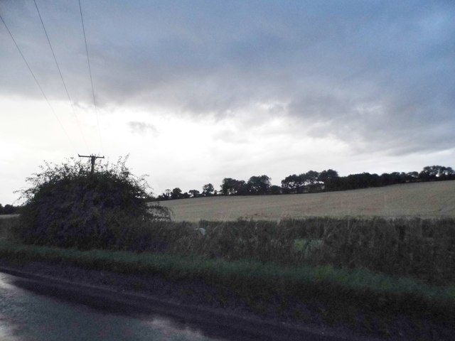
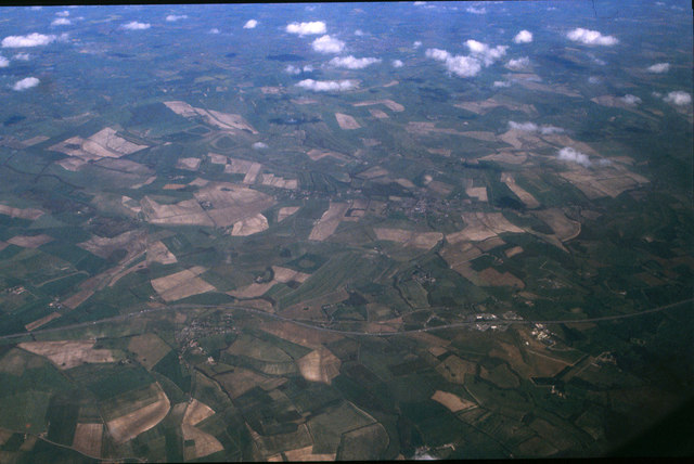
Pigs' Hill, located in Wiltshire, England, is a prominent hill that forms part of the Cotswold Hills range. Sitting at an elevation of approximately 230 meters (750 feet), it is considered a notable landmark in the area.
The hill derives its name from the abundance of wild boars that once roamed the area. Pigs' Hill offers breathtaking panoramic views of the surrounding countryside, including lush green fields, rolling hills, and picturesque villages. Its vantage point provides an excellent opportunity for visitors to appreciate the natural beauty of the region.
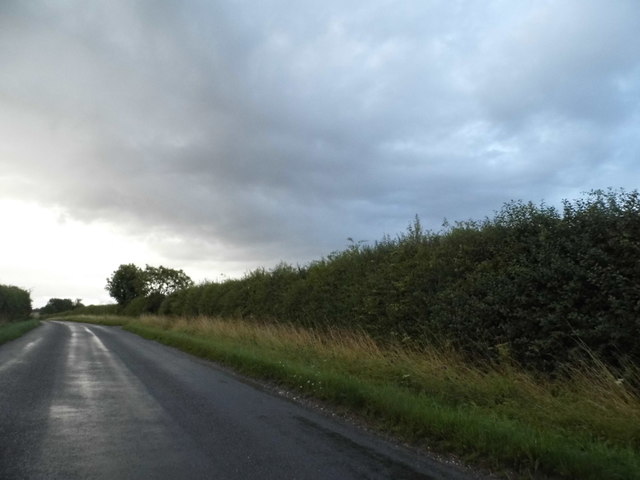
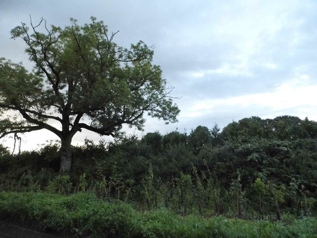
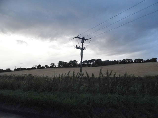
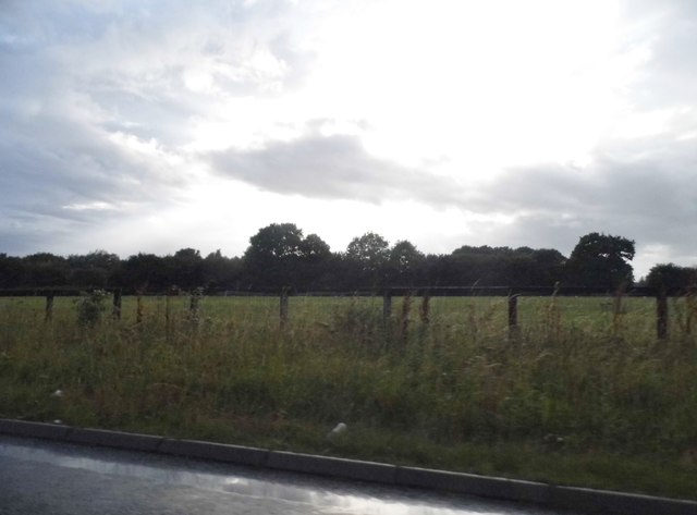
The hill is predominantly covered in grassland, interspersed with patches of woodland, which adds to its scenic charm. This diverse landscape attracts a variety of wildlife, including rabbits, foxes, and numerous bird species. Pigs' Hill is a popular destination for outdoor enthusiasts, offering opportunities for hiking, nature walks, and birdwatching.
The hill's location within close proximity to several towns and villages makes it easily accessible to visitors. Nearby amenities include parking facilities, picnic areas, and well-marked trails for hikers of all abilities. The hill is also a favored spot for kite flying and is often busy with families enjoying outdoor activities.
Pigs' Hill, with its rich natural beauty and recreational opportunities, remains a cherished destination for both locals and tourists alike. Its scenic views and tranquil ambiance make it a must-visit location for anyone seeking to immerse themselves in the picturesque English countryside.
If you have any feedback on the listing, please let us know in the comments section below.
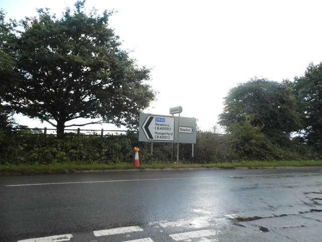
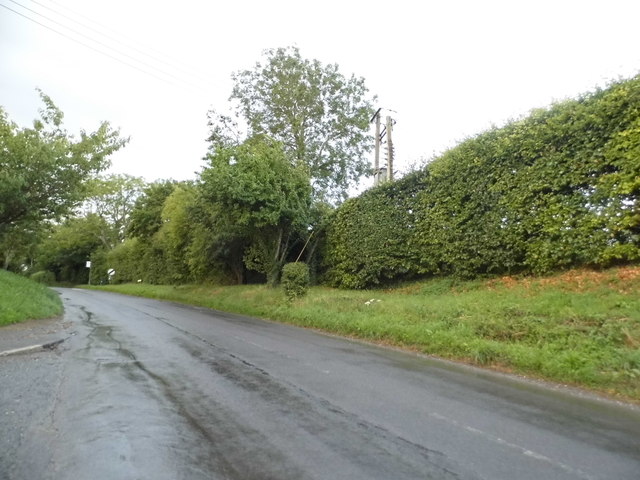
Pigs' Hill Images
Images are sourced within 2km of 51.479281/-1.5875597 or Grid Reference SU2875. Thanks to Geograph Open Source API. All images are credited.


Pigs' Hill is located at Grid Ref: SU2875 (Lat: 51.479281, Lng: -1.5875597)
Unitary Authority: Wiltshire
Police Authority: Wiltshire
What 3 Words
///presumes.slim.evaded. Near Aldbourne, Wiltshire
Nearby Locations
Related Wikis

Membury Camp
Membury Camp, or Membury Fort, is the site of an Iron Age hill fort located on the borders of Wiltshire and Berkshire, (the county line divides the site...
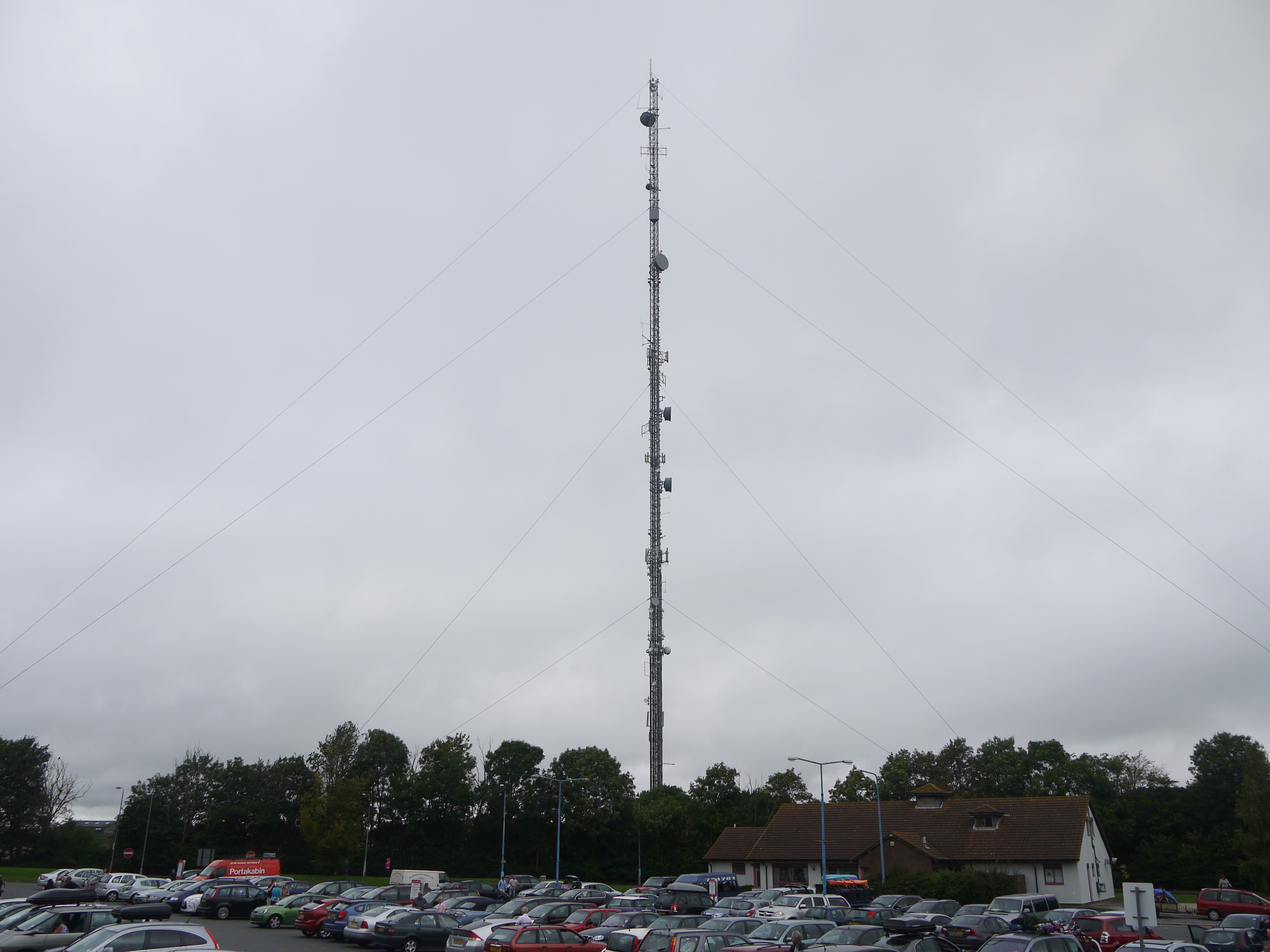
Membury transmitting station
The Membury transmitting station is a broadcasting and telecommunications facility, situated adjacent to the M4 motorway at the Membury services in the...
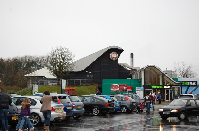
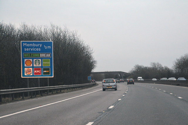
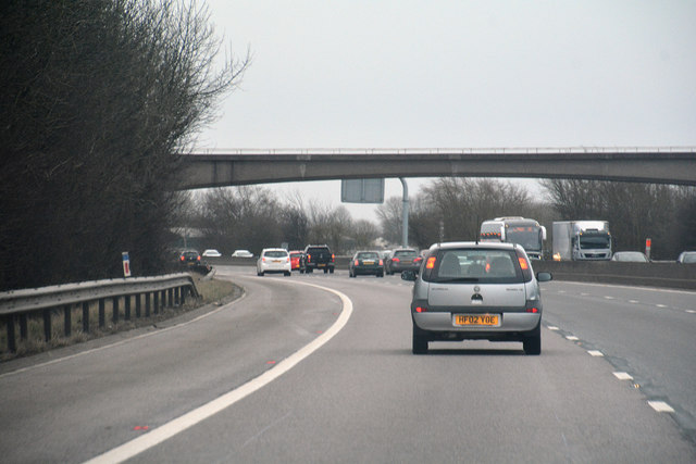
Membury services
Membury services is a motorway service station on the M4 motorway, located on the original site of RAF Membury in the civil parish of Lambourn in the English...
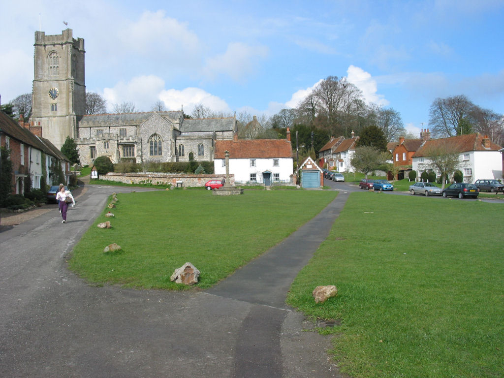
Aldbourne
Aldbourne ( AWLD-born) is a village and civil parish about 6 miles (10 km) north-east of Marlborough, Wiltshire, England, in a valley on the south slope...
Have you been to Pigs' Hill?
Leave your review of Pigs' Hill below (or comments, questions and feedback).