Marlpit

Settlement in Kent Maidstone

England

Marlpit

Orchards at Boughton Monchelsea Place Taken from Boughton Monchelsea church on the Greensand Way, showing the Weald in the South of the grid.
Orchards at Boughton Monchelsea Place Credit: John Brown

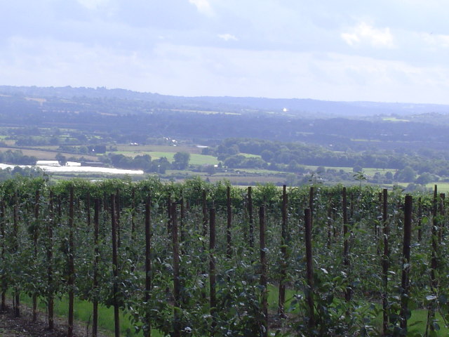
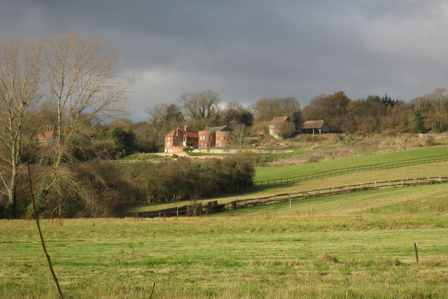
Marlpit is a small village located in the county of Kent, England. Situated approximately 4 miles northeast of the town of Tonbridge, Marlpit is surrounded by picturesque countryside and offers a peaceful and idyllic setting for its residents.

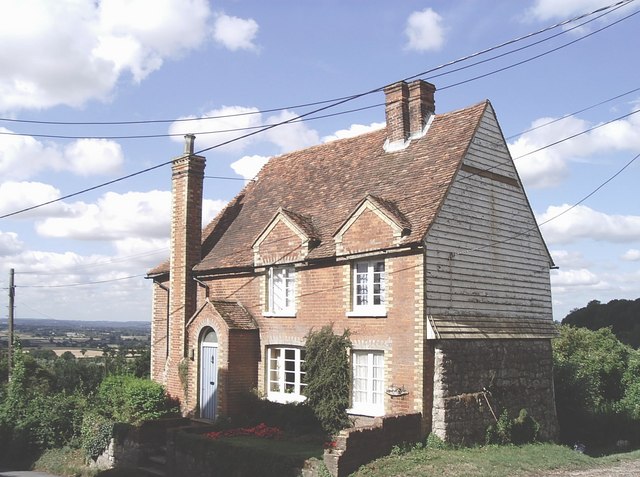
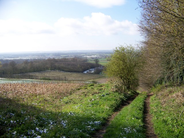
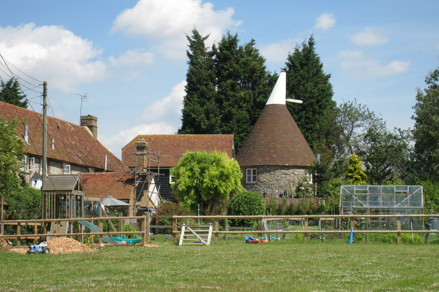
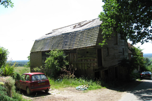
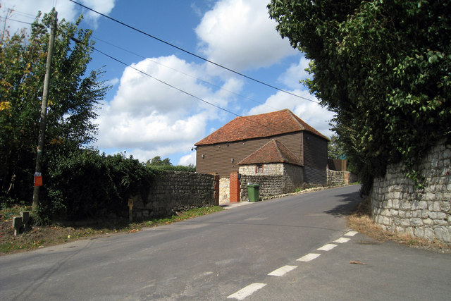
The village is known for its charming architecture, with many of its houses dating back to the 18th and 19th centuries, giving it a distinctive historic feel. The village center is characterized by a small square with a picturesque village green, where locals often gather for community events and activities.

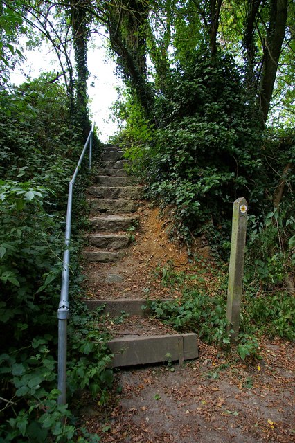
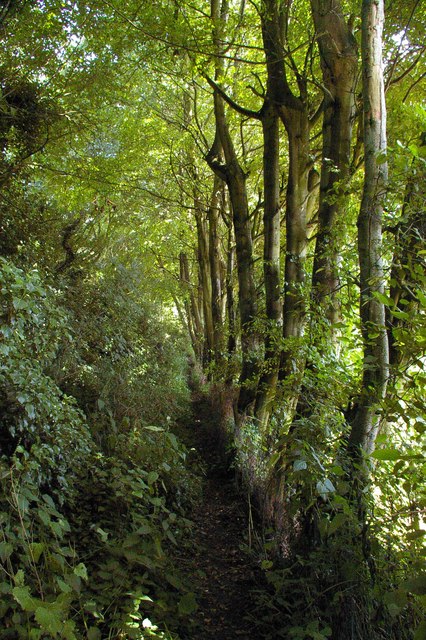
Marlpit is home to a close-knit community, with a population of around 500 residents. The village boasts a range of amenities to cater to the needs of its inhabitants, including a local pub, a village hall, a primary school, and a church. The surrounding countryside also provides ample opportunities for outdoor activities, such as walking, cycling, and horse riding.

The village is well-connected to the wider area, with good transport links to nearby towns and cities. The A21 road runs close by, providing easy access to Tonbridge and the nearby town of Tunbridge Wells. Additionally, the village is served by regular bus services, ensuring residents can easily travel to surrounding areas.

Marlpit offers a tranquil and picturesque setting, making it an attractive place to live for those seeking a peaceful rural lifestyle. Its rich history, tight-knit community, and beautiful surroundings make it a charming village in the heart of Kent.

If you have any feedback on the listing, please let us know in the comments section below.
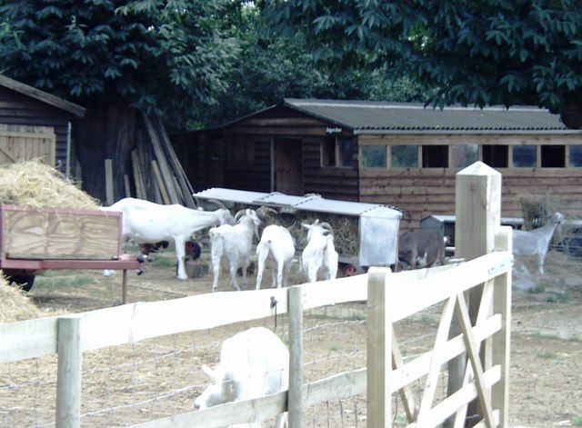
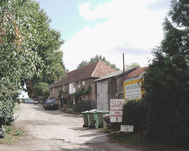
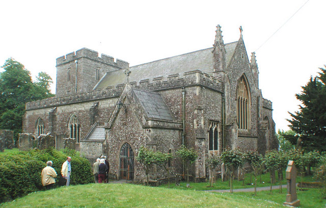
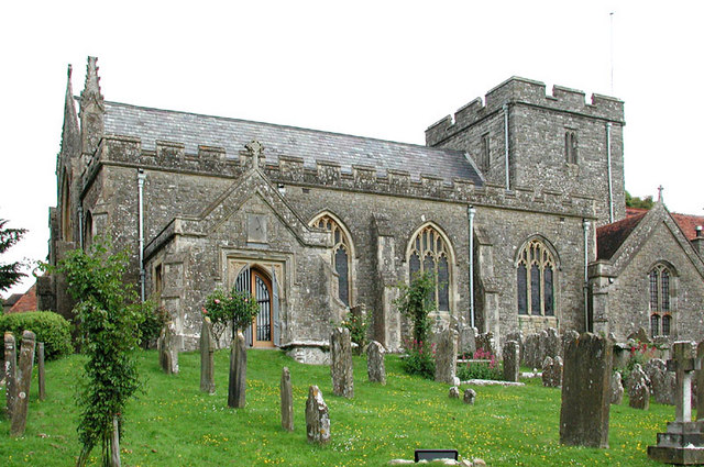
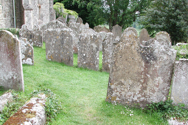
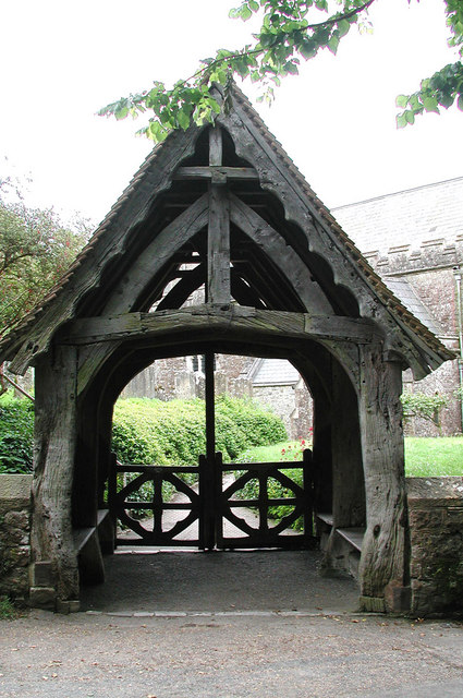
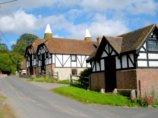
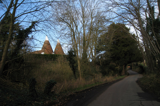
Marlpit Images

Images are sourced within 2km of 51.228213/0.55184228 or Grid Reference TQ7850. Thanks to Geograph Open Source API. All images are credited.

Orchards at Boughton Monchelsea Place Taken from Boughton Monchelsea church on the Greensand Way, showing the Weald in the South of the grid.
Orchards at Boughton Monchelsea Place
Taken from Boughton Monchelsea church on the Greensand Way, showing the Weald in the South of the grid.
Greensand Steps These steps are on the Greensand Way long distance footpath
Greensand Steps
These steps are on the Greensand Way long distance footpath
Greensand Way This is the Greensand Way long distance footpath in the section between Wierton and Hill Rd
Greensand Way
This is the Greensand Way long distance footpath in the section between Wierton and Hill Rd
Cottage at Chart Hill near Chart Sutton Chart Hill is a small hamlet on the Greensand Ridge with extensive views of the Weald to the south. The cottage is characteristic of the area in that its construction combines brick, local ragstone and weatherboarding.
Cottage at Chart Hill near Chart Sutton
Chart Hill is a small hamlet on the Greensand Ridge with extensive views of the Weald to the south. The cottage is characteristic of the area in that its construction combines brick, local ragstone and weatherboarding.
Buttercups Sanctuary for Goats, Boughton Monchelsea More information can be obtained about the above from   <span class="nowrap"><a title="http://www.buttercups.org.uk" rel="nofollow ugc noopener" href="http://www.buttercups.org.uk">Link</a><img style="margin-left:2px;" alt="External link" title="External link - shift click to open in new window" src="https://s1.geograph.org.uk/img/external.png" width="10" height="10"/></span>.
Buttercups Sanctuary for Goats, Boughton Monchelsea
More information can be obtained about the above from LinkExternal link.
Wierton Hill Farm B&B, near Chart Sutton
St Peter, Boughton Monchelsea, Kent
St Peter, Boughton Monchelsea, Kent - Churchyard
St Peter, Boughton Monchelsea, Kent - East end
St Peter, Boughton Monchelsea, Kent - Lychgate
Wierton Oast, Wierton Hill, Boughton Monchelsea, Kent Two internal kilned oast house.
Wierton Oast, Wierton Hill, Boughton Monchelsea, Kent
Two internal kilned oast house.
Church Farm Oast, Church Hill, Boughton Monchelsea, Kent Three round and two square kilns of varying sizes.

Also see <a href="https://www.geograph.org.uk/photo/1585485">TQ7749 : Church Farm Oast, Church Hill, Boughton Monchelsea, Kent</a>
Church Farm Oast, Church Hill, Boughton Monchelsea, Kent
Three round and two square kilns of varying sizes. Also see TQ7749 : Church Farm Oast, Church Hill, Boughton Monchelsea, Kent
The countryside in Kent South of Maidstone
The countryside in Kent
South of Maidstone
The Oast, East Hall Hill, Boughton Monchelsea, Kent Single round kiln oast house. Stone walls.
The Oast, East Hall Hill, Boughton Monchelsea, Kent
Single round kiln oast house. Stone walls.
East Hall Oast, East Hall Hill, Wierton, Boughton Monchelsea, Kent Once a six round kiln oast house. Only two remain, with the roundel roofs replaced with a flat roof with battlements, giving a castle like impression on the hill.
East Hall Oast, East Hall Hill, Wierton, Boughton Monchelsea, Kent
Once a six round kiln oast house. Only two remain, with the roundel roofs replaced with a flat roof with battlements, giving a castle like impression on the hill.
Barn on Chart Hill Road, Chart Sutton, Kent
East Hall Oast, East Hall Hill, Wierton, Boughton Monchelsea, Kent Once a six round kiln oast house. Only two remain, with the roundel roofs replaced with a flat roof with battlements, giving a castle like impression on the hill.
East Hall Oast, East Hall Hill, Wierton, Boughton Monchelsea, Kent
Once a six round kiln oast house. Only two remain, with the roundel roofs replaced with a flat roof with battlements, giving a castle like impression on the hill.
Show me another place!

Marlpit is located at Grid Ref: TQ7850 (Lat: 51.228213, Lng: 0.55184228)

Administrative County: Kent

District: Maidstone

Police Authority: Kent

What 3 Words

///desk.bucked.elections. Near Maidstone, Kent

Nearby Locations

Marlpit

Related Wikis

Park Wood, Maidstone

Park Wood is a suburb of Maidstone, Kent. == History == Before the Second World War most of the area around the village of Park Wood was mainly woodland...

Chart Sutton

Chart Sutton is a civil parish and small village on the edge of the Weald of Kent, England. It lies approximately 5 miles (8 km) to the south of Maidstone...

St Peter's Church, Boughton Monchelsea

St Peter's Church is a parish church in Boughton Monchelsea, Kent. It is a Grade II* listed building. == Building == The church is mostly built of ragstone...

Boughton Monchelsea

Boughton Monchelsea is a village and civil parish in the borough of Maidstone in Kent, England. The civil parish lies on a ragstone ridge situated between...

Senacre Technology College

Senacre Technology College was a secondary school in Maidstone, Kent. The school became a Technology College in September 1994.The school closed in 2008...

Bearsted F.C.

Bearsted Football Club is a football club located in Bearsted, near Maidstone, in Kent, England. The club are currently members of the Southern Counties...

Langley, Kent

Langley is a village and civil parish in the Maidstone District of Kent, England. The parish is located on the A274 road leading south from Maidstone to...

Cornwallis Academy

Cornwallis Academy (formerly The Cornwallis School) is a mixed-sex secondary school and sixth form located in Linton (near Maidstone) in the English county...

Nearby Amenities

Located within 500m of 51.228213,0.55184228
Stop
Direction: forward
Lat/Long: 51.2258744/0.5511645
Bus Stop
Marlpit Farm
Naptan AtcoCode: 2400A004380A
Naptan Bearing: W
Naptan CommonName: Marlpit Farm
Naptan Indicator: adj
Naptan Landmark: Marlpit Farm
Naptan NaptanCode: kntagpgd
Naptan Street: Heath Road
Naptan Verified: no
Public Transport: platform
Ref: kntagpgd
Shelter: yes
Source: naptan_import
Source Date: 2018-07-03T16:07:00
Lat/Long: 51.2281765/0.5515394
Bus Stop
Marlpit Farm
Flag: no
Naptan AtcoCode: 2400A004381A
Naptan Bearing: E
Naptan BusStopType: CUS
Naptan CommonName: Marlpit Farm
Naptan Indicator: opp
Naptan Landmark: Marlpit Farm
Naptan NaptanCode: kntagpgj
Naptan Street: Heath Road
Naptan Verified: no
Public Transport: platform
Ref: kntagpgj
Source: naptan_import
Source Date: 2018-07-03T16:09:00
Lat/Long: 51.2282746/0.5524043
Power: pole
Lat/Long: 51.2316988/0.5536755
Power: pole
Lat/Long: 51.2280611/0.5547185
Power: pole
Lat/Long: 51.2276244/0.5558971
Power: pole
Lat/Long: 51.2267445/0.5582851
Power: pole
Lat/Long: 51.2289782/0.553858
Power: pole
Lat/Long: 51.2271455/0.5572216
Power: pole
Lat/Long: 51.2307867/0.5537412
Power: pole
Lat/Long: 51.2298812/0.5538089
Stop
Direction: backward
Lat/Long: 51.2258137/0.5511867
Give Way
Direction: backward
Lat/Long: 51.2282019/0.5518995
Turning Loop
Lat/Long: 51.2291789/0.5473121
The data included in this document is from www.openstreetmap.org. The data is made available under ODbL.

Have you been to Marlpit?

Leave your review of Marlpit below (or comments, questions and feedback).