Malting Green

Settlement in Essex Colchester

England

Malting Green

Abberton Reservoir from a permissive path; Near Layer-De-La Haye This section of the path I only discovered last Saturday. I was soon to find out that it ended on a "private" section of Fields Farm Road!
Abberton Reservoir from a permissive path; Near Layer-De-La Haye Credit: Mr James D

Malting Green is a small village located in the county of Essex, England. Situated in the East of England, it lies approximately 15 miles northeast of the county town of Chelmsford. The village is nestled amidst the picturesque countryside, offering residents and visitors a peaceful and idyllic setting.

Malting Green is known for its rich historical heritage, with evidence of human settlement dating back to the Roman era. The village takes its name from the traditional malting industry that once thrived in the area, reflecting its historical significance in the production of malted barley.

Despite its small size, Malting Green offers a range of amenities and services to its residents. These include a local pub, a village hall, and a primary school. The village also benefits from being close to larger towns and cities, such as Chelmsford and Colchester, ensuring access to a wider range of facilities and employment opportunities.

The surrounding countryside provides ample opportunities for outdoor activities, with numerous walking and cycling paths crisscrossing the area. Nature enthusiasts can explore the nearby Flitch Way, a former railway line that has been transformed into a scenic trail.

The community in Malting Green is close-knit, with residents actively participating in local events and initiatives. The village hosts an annual summer fete and various social gatherings, fostering a sense of camaraderie among its inhabitants.

In summary, Malting Green offers a tranquil and historically significant village experience in the heart of Essex. With its picturesque surroundings and strong community spirit, it provides an attractive living environment for those seeking a peaceful retreat.

If you have any feedback on the listing, please let us know in the comments section below.

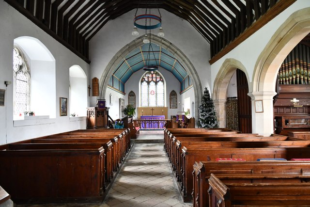
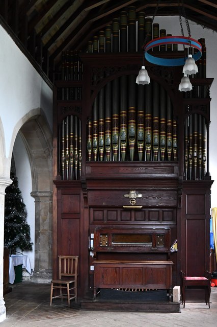
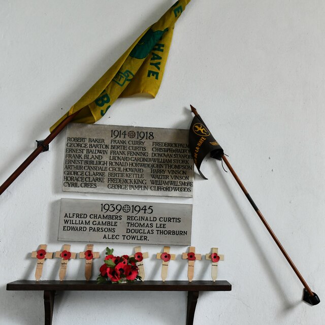
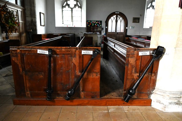
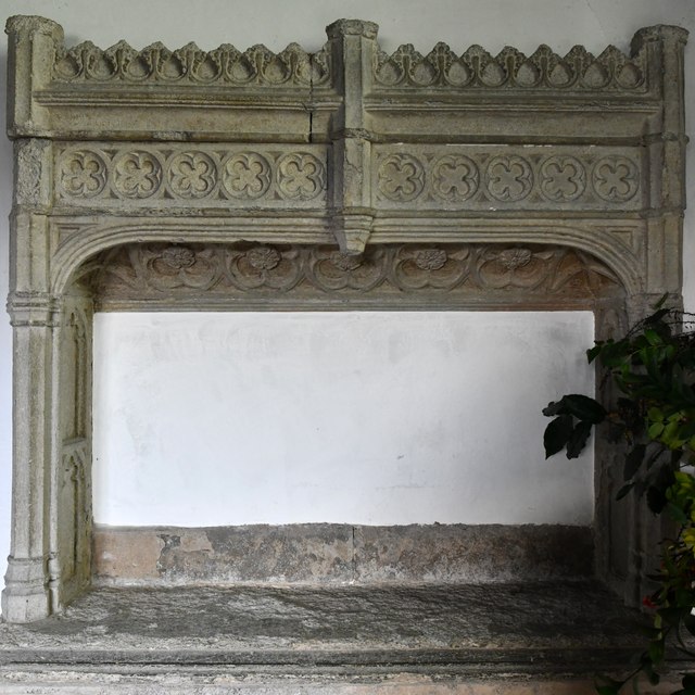
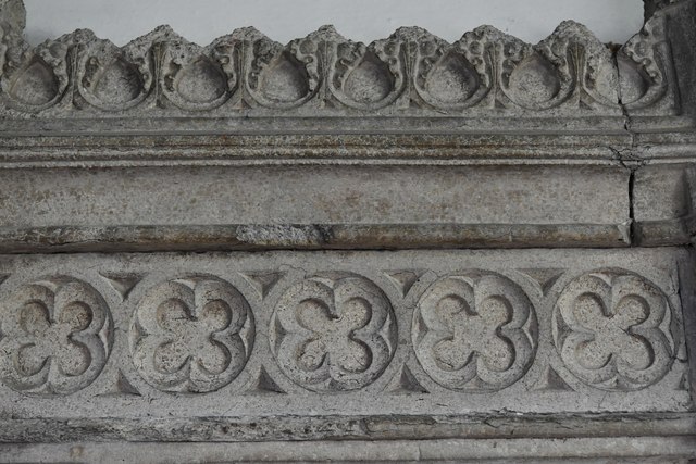
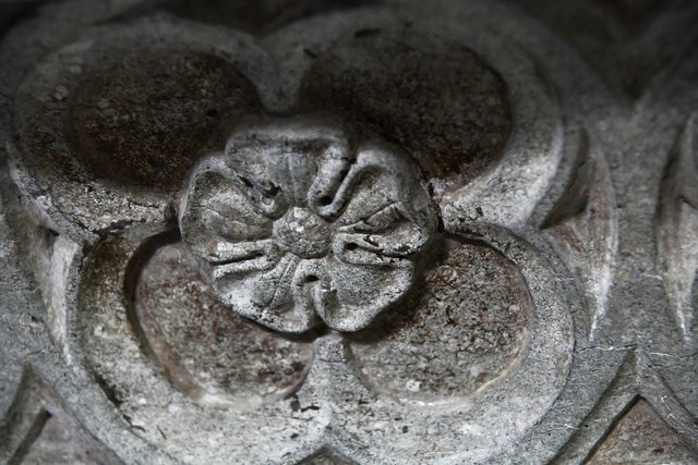
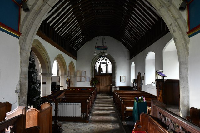
Malting Green Images

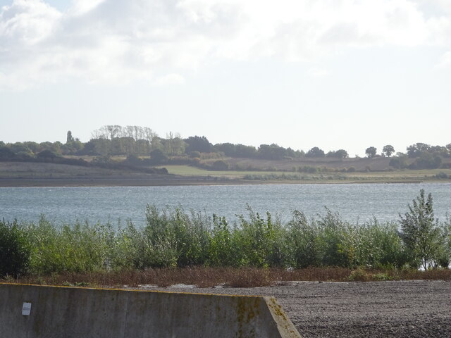
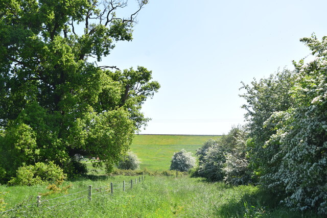
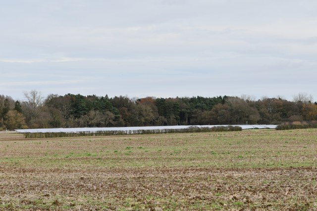
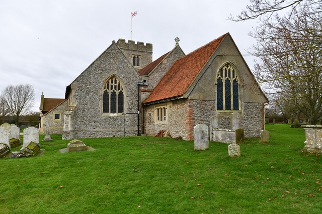
Images are sourced within 2km of 51.844364/0.86630199 or Grid Reference TL9720. Thanks to Geograph Open Source API. All images are credited.

Abberton Reservoir from a permissive path; Near Layer-De-La Haye This section of the path I only discovered last Saturday. I was soon to find out that it ended on a "private" section of Fields Farm Road!
Abberton Reservoir from a permissive path; Near Layer-De-La Haye
This section of the path I only discovered last Saturday. I was soon to find out that it ended on a "private" section of Fields Farm Road!
Dam of Abberton Reservoir Ahead is the back slope of the dam of Abberton Reservoir taken from the permissive footpath which runs behind the dam.
Dam of Abberton Reservoir
Ahead is the back slope of the dam of Abberton Reservoir taken from the permissive footpath which runs behind the dam.
Birch: Harvested field
Layer de la Haye, St. John the Baptist's Church: Eastern aspect
Layer de la Haye, St. John the Baptist's Church: The nave
Layer de la Haye, St. John the Baptist's Church: The organ
Layer de la Haye, St. John the Baptist's Church: Remembering those who died in the two World Wars
Layer de la Haye, St. John the Baptist's Church: Three bell clappers fixed to the bench ends
Layer de la Haye, St. John the Baptist's Church: Nativity scene
Layer de la Haye, St. John the Baptist's Church: Altar tomb of Thomas Tey and his wife, Jane
Layer de la Haye, St. John the Baptist's Church: Altar tomb of Thomas Tey and his wife, Jane (detail) 1
Layer de la Haye, St. John the Baptist's Church: Altar tomb of Thomas Tey and his wife, Jane (detail) 2
Layer de la Haye, St. John the Baptist's Church: The nave from the chancel
Layer de la Haye, St. John the Baptist's Church: Stained glass window 1
Layer de la Haye, St. John the Baptist's Church: Stained glass window 1 (detail)
Layer de la Haye, St. John the Baptist's Church: Part Ten Commandments board
Layer de la Haye, St. John the Baptist's Church: Altar tomb of Thomas Tey and his wife, Jane Showing its position to the left of the altar.
Layer de la Haye, St. John the Baptist's Church: Altar tomb of Thomas Tey and his wife, Jane
Showing its position to the left of the altar.
Show me another place!

Malting Green is located at Grid Ref: TL9720 (Lat: 51.844364, Lng: 0.86630199)

Administrative County: Essex

District: Colchester

Police Authority: Essex

What 3 Words

///oldest.funded.gold. Near Layer de la Haye, Essex

Related Wikis

Layer de la Haye

Layer de la Haye (often spelled Layer-de-la-Haye; locally known just as Layer) is a village and civil parish in the City of Colchester district of Essex...

Roman River Valley

Roman River Valley is a 17.8-hectare (44-acre) nature reserve north of Layer de la Haye in Essex. It is managed by the Essex Wildlife Trust.This wetland...

Roman River SSSI

Roman River is a 275.6-hectare (681-acre) biological Site of Special Scientific Interest (SSSI) south of Colchester in Essex. Two areas, Friday Wood and...

St Michael's Church, Berechurch

St Michael's Church is a redundant Anglican church in the village of Berechurch, Essex, England. It is recorded in the National Heritage List for England...

Nearby Amenities

Located within 500m of 51.844364,0.86630199
Power: tower
Ref: PDE 73
Source Ref: interpolation
Lat/Long: 51.8402595/0.8682795
Booth: K6
Removed Amenity: telephone
Lat/Long: 51.8452831/0.8726929
Post Box
Brand: Royal Mail
Brand Wikidata: Q638098
Brand Wikipedia: en:Royal Mail
Operator: Royal Mail
Operator Wikidata: Q638098
Ref: CO2 112
Lat/Long: 51.8442053/0.8613177
Bus Stop
Hawfinch Road
Bus: yes
Naptan AtcoCode: 1500HAWFINCH
Naptan Bearing: E
Naptan BusStopType: CUS
Naptan CommonName: Hawfinch Road
Naptan Indicator: Adj
Naptan Landmark: Hawfinch Road
Naptan NaptanCode: esxgmgdj
Naptan Street: Malting Green Road
Naptan Verified: no
Public Transport: platform
Source: naptan_import
Lat/Long: 51.8441817/0.8607098
Layer-de-la-Haye
Is In: Essex, England
Place: village
Wikidata: Q2744886
Lat/Long: 51.8467947/0.8623408
Power: tower
Lat/Long: 51.8406501/0.8683224
Power: tower
Lat/Long: 51.8401496/0.864696
Power: tower
Lat/Long: 51.8409616/0.870613
Power: pole
Lat/Long: 51.8418763/0.8645242
Bus Stop
Mill Lane
Bus: yes
Naptan AtcoCode: 150014012902
Naptan BusStopType: CUS
Naptan NaptanCode: esxjpmgd
Naptan Verified: no
Public Transport: platform
Source: naptan
Lat/Long: 51.8463978/0.8725736
Barrier: kissing_gate
Lat/Long: 51.8475993/0.8649314
The data included in this document is from www.openstreetmap.org. The data is made available under ODbL.

Have you been to Malting Green?

Leave your review of Malting Green below (or comments, questions and feedback).