Malton
Settlement in Durham
England
Malton

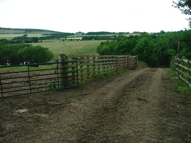
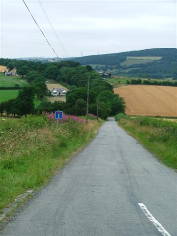
Malton is a small village located in the county of Durham, England. Situated approximately 5 miles north-west of the city of Durham, it falls within the administrative boundaries of the Durham County Council. The village is nestled in a rural setting, surrounded by lush green fields and rolling hills, offering a tranquil and picturesque environment.
With a population of around 500 inhabitants, Malton has a close-knit community feel. The village is primarily residential, characterized by charming stone houses and cottages, adding to its traditional charm. Its small size gives it a peaceful atmosphere, attracting those seeking a quieter lifestyle away from the hustle and bustle of city living.
Despite its size, Malton offers some amenities to its residents. The village has a local pub, providing a cozy place for socializing and enjoying a pint. Additionally, a small convenience store caters to the basic needs of the community. For more extensive shopping and entertainment options, residents can easily access nearby towns and cities.
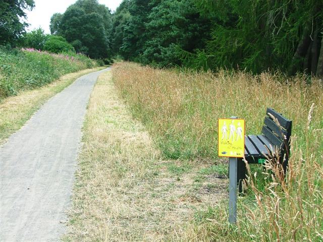
Malton is also surrounded by stunning natural beauty, making it an ideal location for outdoor enthusiasts. The village is within close proximity to the River Wear, offering opportunities for fishing or leisurely walks along its banks. The surrounding countryside provides ample opportunities for hiking, cycling, and exploring the great outdoors.
Overall, Malton is a charming village that offers a peaceful and close-knit community, picturesque surroundings, and easy access to the amenities of nearby towns and cities.
If you have any feedback on the listing, please let us know in the comments section below.
Malton Images
Images are sourced within 2km of 54.809884/-1.7209845 or Grid Reference NZ1846. Thanks to Geograph Open Source API. All images are credited.


Malton is located at Grid Ref: NZ1846 (Lat: 54.809884, Lng: -1.7209845)
Unitary Authority: County Durham
Police Authority: Durham
What 3 Words
///clots.mock.overt. Near Lanchester, Co. Durham
Nearby Locations
Related Wikis
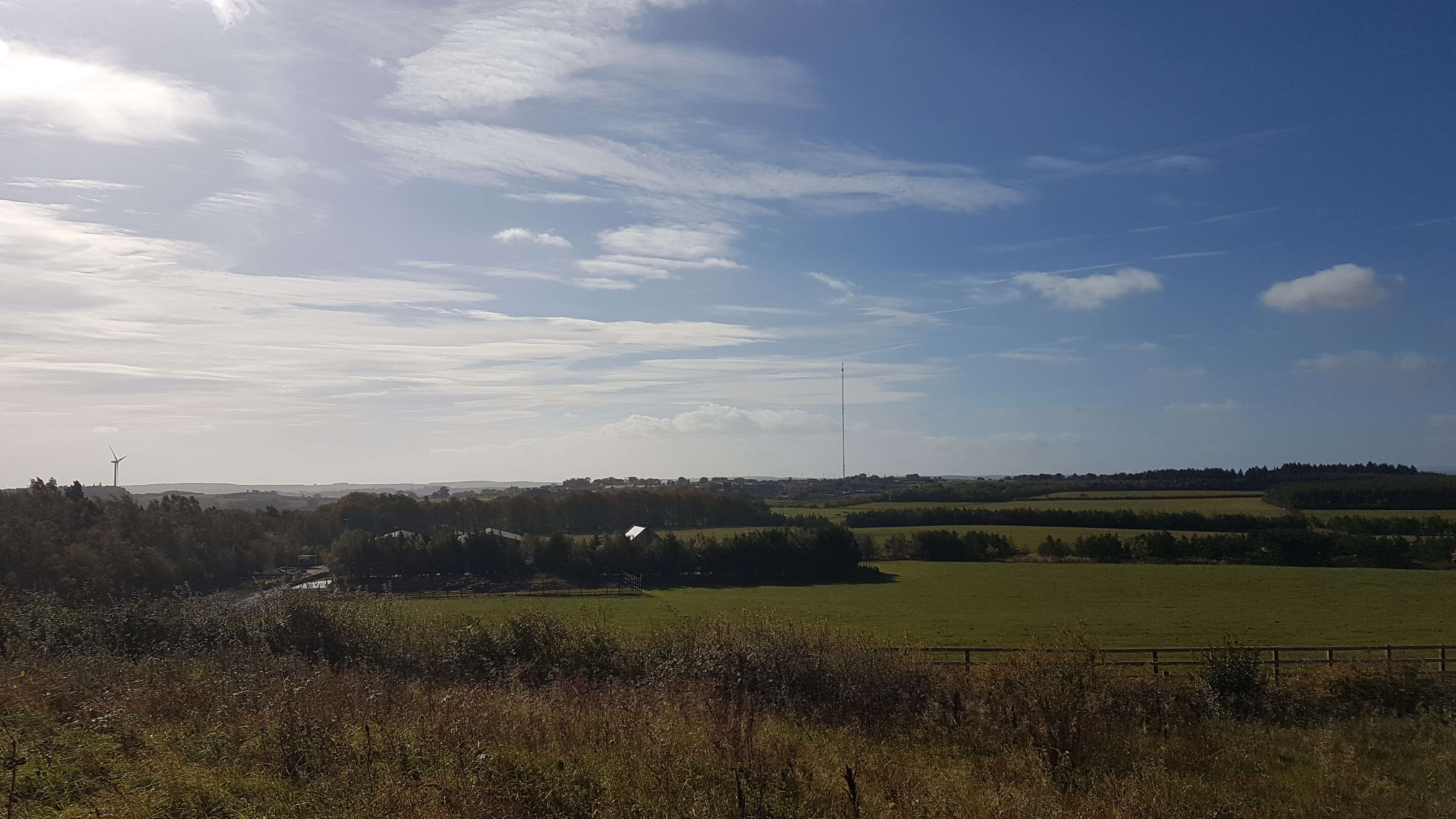
Burnhope transmitting station
The Burnhope transmitting station is a television transmitter in the north of England. == History == === Construction === It was originally built by BICC...

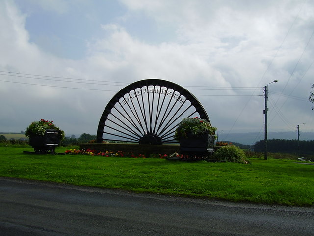
Lanchester, County Durham
Lanchester is a village and civil parish in County Durham, England, 8 miles (13 km) west of Durham and 5 miles (8 km) from Consett. It had a population...

Lanchester railway station
Lanchester railway station served the village of Lanchester, County Durham, England from 1862 to 1965 on the Lanchester Valley Line. == History == The...
Burnhope
Burnhope is a village and civil parish in County Durham, England. It is located in the Craghead valley on the opposite side to Stanley and has 1,564 inhabitants...
Nearby Amenities
Located within 500m of 54.809884,-1.7209845Have you been to Malton?
Leave your review of Malton below (or comments, questions and feedback).