Malshanger
Settlement in Hampshire Basingstoke and Deane
England
Malshanger
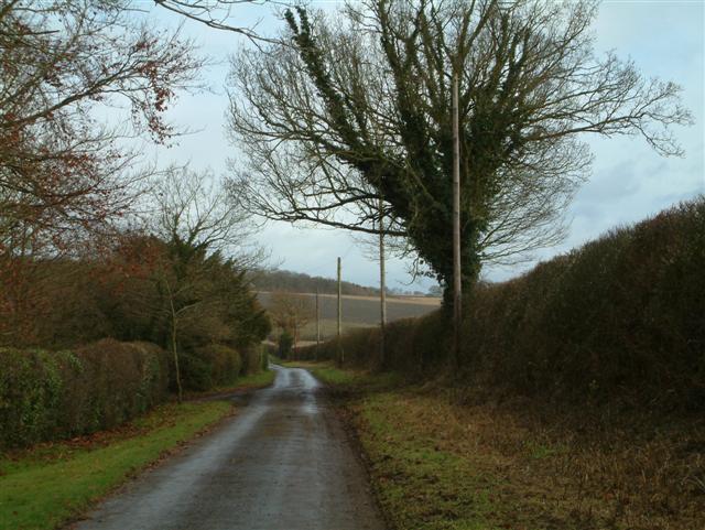
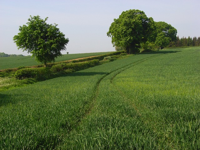
Malshanger is a small village located in the county of Hampshire, England. Situated approximately 5 miles northwest of the town of Basingstoke, Malshanger is nestled in the picturesque countryside, surrounded by rolling hills and lush green fields.
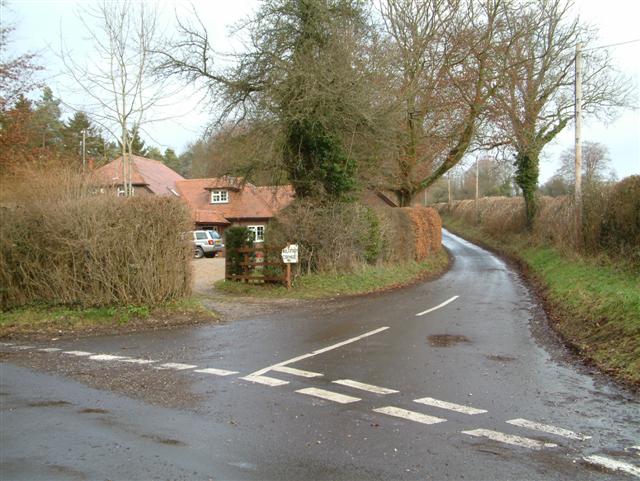
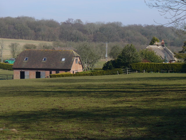
The village is known for its charming rural character and tranquil atmosphere, making it an ideal retreat for those seeking a peaceful and idyllic setting. The community consists of a small number of residential properties, predominantly traditional cottages and farmhouses, which add to the village's quaint and picturesque appeal.
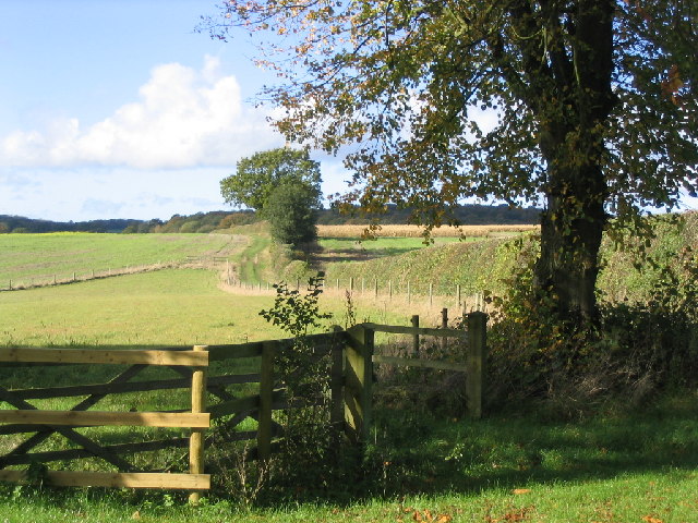
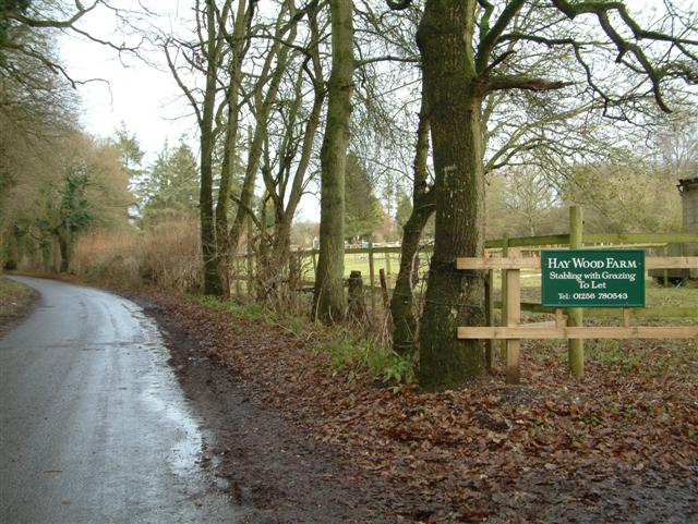
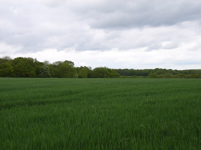
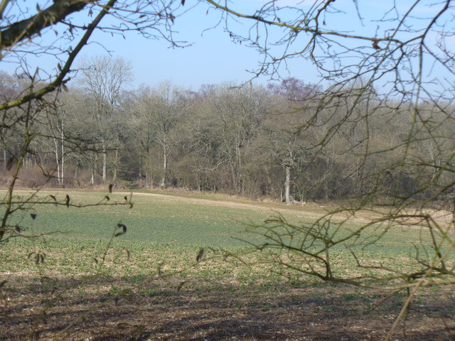
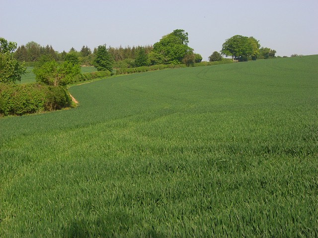
The area around Malshanger is predominantly agricultural, with farming being a significant part of the local economy. The village is surrounded by farmland, where a variety of crops are grown and livestock is reared. This agricultural heritage is reflected in the landscape, with fields stretching as far as the eye can see.
Despite its rural nature, Malshanger benefits from good transport links. The nearby town of Basingstoke offers a range of amenities, including shopping centers, restaurants, and entertainment options. The village is well-connected to the wider region via road and rail, with easy access to major cities such as London and Southampton.
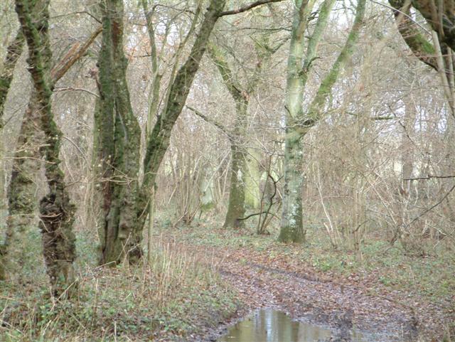
Malshanger is also fortunate to be located in close proximity to several areas of natural beauty. The North Wessex Downs, an Area of Outstanding Natural Beauty, lies to the west of the village, offering stunning landscapes and opportunities for outdoor activities such as walking and cycling.
In summary, Malshanger is a charming and peaceful village in Hampshire, renowned for its rural beauty, agricultural heritage, and close proximity to areas of natural splendor. It provides a tranquil and picturesque living environment, while also benefiting from good transport connections and access to nearby amenities.
If you have any feedback on the listing, please let us know in the comments section below.
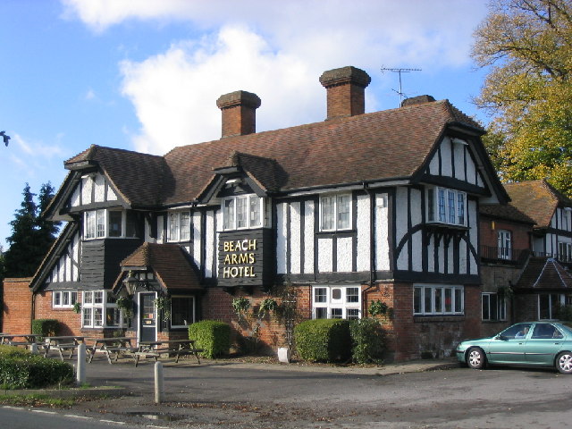
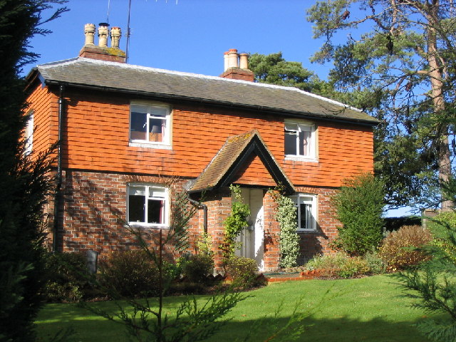
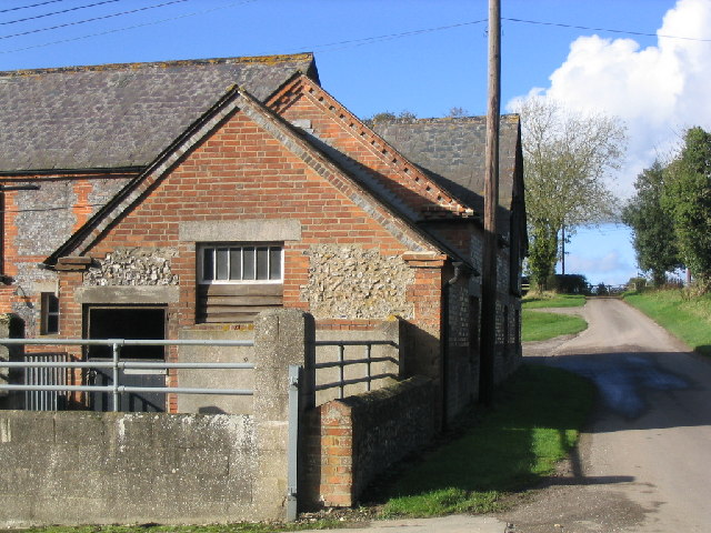
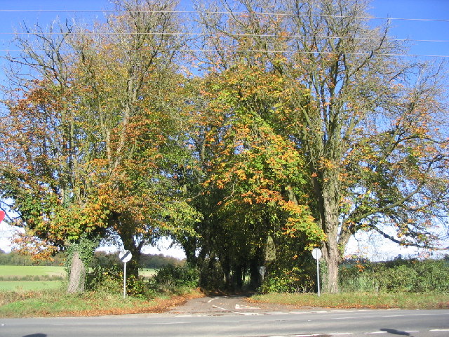
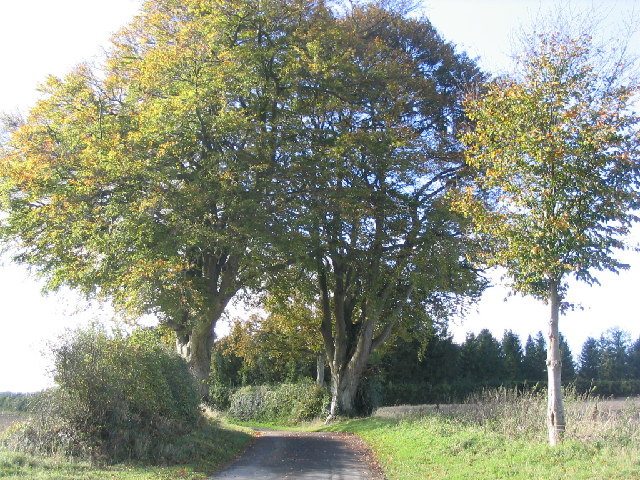
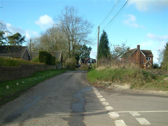
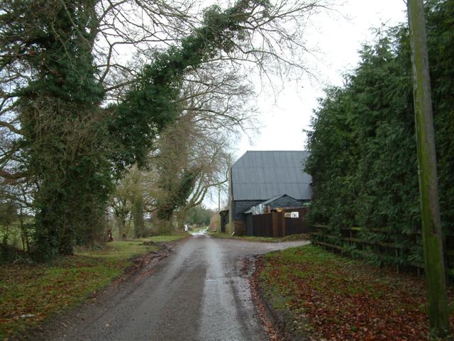
Malshanger Images
Images are sourced within 2km of 51.271637/-1.1924749 or Grid Reference SU5652. Thanks to Geograph Open Source API. All images are credited.

Malshanger is located at Grid Ref: SU5652 (Lat: 51.271637, Lng: -1.1924749)
Administrative County: Hampshire
District: Basingstoke and Deane
Police Authority: Hampshire
What 3 Words
///tallest.amends.encodes. Near Overton, Hampshire
Nearby Locations
Related Wikis

Malshanger
Malshanger is a small village in the Basingstoke and Deane district of Hampshire, England. Its nearest town is Basingstoke, which lies approximately 4...

Ibworth
Ibworth is a hamlet in Hampshire, England. It is in the civil parish of Hannington. Interesting features include a community notice board and a wall post...

Oakley railway station (Hampshire)
Oakley was a railway station on the West of England Main Line in Hampshire, England which served the village of Oakley. == History == The station was opened...
Newfound, Hampshire
Newfound is a hamlet in the Basingstoke and Deane district of Hampshire, England. Its nearest town is Basingstoke, which lies approximately 4.1 miles...

Upper Wootton
Upper Wootton is a small village in the civil parish of Wootton St Lawrence with Ramsdell in the Basingstoke and Deane district of Hampshire, England....

Oakley Hall, Hampshire
Oakley Hall is a Georgian manor in Oakley, Hampshire, located 10 km (6.2 mi) to the west of Basingstoke. Completed in 1795 by Wither Bramston, the building...
Oakley, Hampshire
Oakley is a village in the borough of Basingstoke and Deane in Hampshire, England, located around 4.5 miles (7 km) west of Basingstoke. In the 2001 Census...

Wootton St Lawrence
Wootton St Lawrence is a small village in the civil parish of Wootton St Lawrence with Ramsdell, in Hampshire, England, 2.5 miles (4.0 km) west of Basingstoke...
Nearby Amenities
Located within 500m of 51.271637,-1.1924749Have you been to Malshanger?
Leave your review of Malshanger below (or comments, questions and feedback).