Lower Kenneggy

Settlement in Cornwall

England

Lower Kenneggy

OS Cut Mark: Germoe, Larkspur Cottage <span class="nowrap"><a title="https://www.bench-marks.org.uk/bm85462" rel="nofollow ugc noopener" href="https://www.bench-marks.org.uk/bm85462">Link</a><img style="margin-left:2px;" alt="External link" title="External link - shift click to open in new window" src="https://s1.geograph.org.uk/img/external.png" width="10" height="10"/></span>
OS Cut Mark: Germoe, Larkspur Cottage Credit: thejackrustles

The requested URL returned error: 429 Too Many Requests

If you have any feedback on the listing, please let us know in the comments section below.

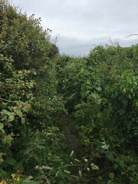
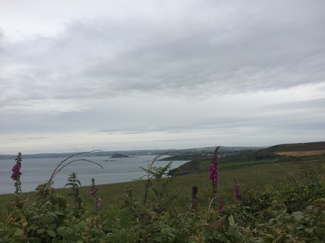
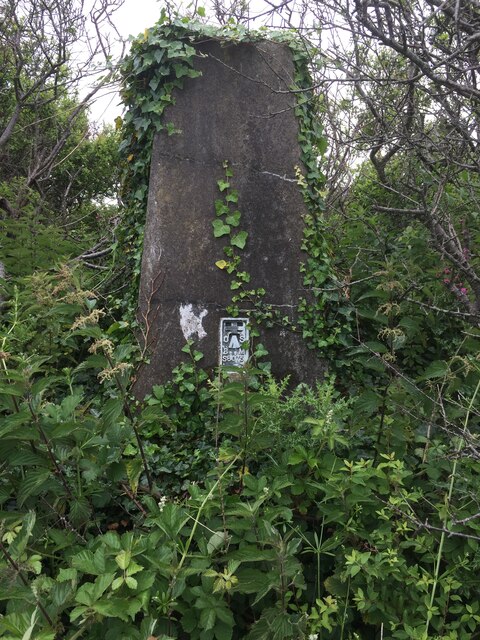
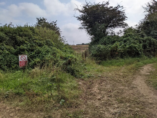
Lower Kenneggy Images

Images are sourced within 2km of 50.109006/-5.4025678 or Grid Reference SW5628. Thanks to Geograph Open Source API. All images are credited.

OS Cut Mark: Germoe, Larkspur Cottage <span class="nowrap"><a title="https://www.bench-marks.org.uk/bm85462" rel="nofollow ugc noopener" href="https://www.bench-marks.org.uk/bm85462">Link</a><img style="margin-left:2px;" alt="External link" title="External link - shift click to open in new window" src="https://s1.geograph.org.uk/img/external.png" width="10" height="10"/></span>
OS Cut Mark: Germoe, Larkspur Cottage
Views out to sea from PROW
Very overgrown footpath
Lovely coastline
Lovely coastline
Cudden Point Trig Point Flush Bracket S8075 <span class="nowrap"><a title="http://trigpointing.uk/trig/2667" rel="nofollow ugc noopener" href="http://trigpointing.uk/trig/2667">Link</a><img style="margin-left:2px;" alt="External link" title="External link - shift click to open in new window" src="https://s1.geograph.org.uk/img/external.png" width="10" height="10"/></span>
Cudden Point Trig Point Flush Bracket S8075
Coastal views
Coastal views
Prussia Cove
Prussia Cove
Looking down on Kenneggy Sand
Looking along Kenneggy Cliff  From the old mine.
Looking along Kenneggy Cliff
From the old mine.
The old mine above Kenneggy Sand
The footpath near the old mine
Farm tracks and footpaths A complicated junction on the way to the Coast Path.
Farm tracks and footpaths
A complicated junction on the way to the Coast Path.
The entrance to Higher Kenneggy wild camping site
Higher Kenneggy wild campsite Very few facilities, if not exactly 'wild'.
Higher Kenneggy wild campsite
Very few facilities, if not exactly 'wild'.
Private property alongside the bridleway The landowner is keen that walkers stay on the public right of way.
Private property alongside the bridleway
The landowner is keen that walkers stay on the public right of way.
Coastal rocks near Pestreath Cove
The Coast Path near Pestreath Cove The path just passes through the corner of this square.
The Coast Path near Pestreath Cove
The path just passes through the corner of this square.
A hidden archway at Hoe Point This is a complex area of channels and stacks, not often accessed except by fishermen.
A hidden archway at Hoe Point
This is a complex area of channels and stacks, not often accessed except by fishermen.
Show me another place!

Lower Kenneggy is located at Grid Ref: SW5628 (Lat: 50.109006, Lng: -5.4025678)

Unitary Authority: Cornwall

Police Authority: Devon and Cornwall

What 3 Words

///yawned.inner.albatross. Near Germoe, Cornwall

Related Wikis

Kenneggy

Kenneggy comprises two separate hamlets, Higher Kenneggy (Cornish: Keunegi Wartha) to the west and Lower Kennegy (Cornish: Keunegi Woles) to the east,...

Kenneggy Downs

Kenneggy Downs is a hamlet on the A394, between the towns of Helston and Penzance in Cornwall, UK. It is in the west of the civil parish of Breage and...

Newtown, Cornwall

Newtown is a hamlet in the parish of Germoe, Cornwall, England. == References ==

Praa Sands

Praa Sands (Cornish: Poll an Wragh = Salt Pool of the Wrasse), (formerly Prah Sands) commonly pronounced pray or prah, is a white-sand beach and coastal...

Nearby Amenities

Located within 500m of 50.109006,-5.4025678
Keneggy Downs
Is In: Cornwall, England, UK
Is In Country: England
Is In Country Code: GB
Is In County: Cornwall
Place: hamlet
Source: npe
Lat/Long: 50.1134585/-5.4028614
Bus Stop
Coach and Horses
Bench: no
Bin: no
Bus: yes
Lit: no
Naptan AtcoCode: 0800COD40589
Naptan Bearing: W
Naptan CommonName: Coach and Horses
Naptan NaptanCode: coragtwm
Naptan Street: A394
Naptan Verified: no
Public Transport: platform
Shelter: no
Source: naptan_import
Tactile Paving: no
Lat/Long: 50.1126953/-5.4006008
Bus Stop
Coach and Horses
Bus: yes
Naptan AtcoCode: 0800COD40590
Naptan Bearing: E
Naptan CommonName: Coach and Horses
Naptan NaptanCode: coragtwt
Naptan Street: A394
Naptan Verified: no
Public Transport: platform
Shelter: no
Source: naptan_import
Lat/Long: 50.1128149/-5.4002035
Pub
The Coach And Horses Inn
Addr City: Penzance
Addr Country: GB
Addr Housename: Kenneggy Downs
Addr Place: Rosudgeon
Addr Postcode: TR20 9AW
Fhrs Id: 1180623
Source: Knowledge
Source Addr: FHRS Open Data
Wikidata: Q26597646
Lat/Long: 50.1128729/-5.4003865
Post Box
Brand: Royal Mail
Brand Wikidata: Q638098
Collection Times: Mo-Fr 10:15; Sa 10:15; Su off
Drive Through: no
Operator: Royal Mail
Operator Wikidata: Q638098
Post Box Mounting: building
Post Box Type: lamp
Ref: TR20 48
Source: survey;streetlevel imagery;aerial imagery
Lat/Long: 50.1129229/-5.4001716
The data included in this document is from www.openstreetmap.org. The data is made available under ODbL.

Have you been to Lower Kenneggy?

Leave your review of Lower Kenneggy below (or comments, questions and feedback).