Lower Key

Settlement in Somerset South Somerset

England

Lower Key

Helyar Arms Cottages and the Helyar Arms, East Coker.
Helyar Arms Credit: Wayland Smith

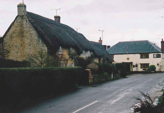
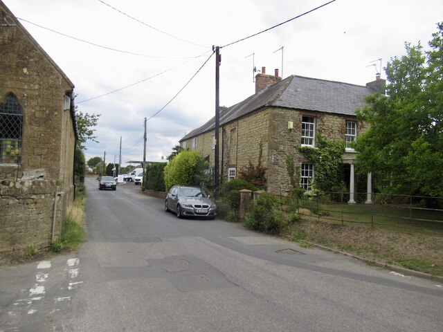
Lower Key is a small village located in the county of Somerset, England. Situated in the Sedgemoor district, it lies approximately 4 miles west of the town of Bridgwater. With a population of around 300 residents, Lower Key is a close-knit community that exudes a charming and peaceful atmosphere.

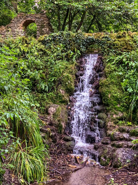
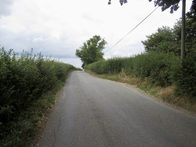
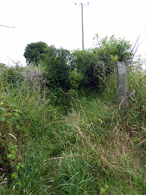
The village is surrounded by picturesque countryside, characterized by rolling hills, lush green fields, and meandering streams. A notable feature of Lower Key is its proximity to the beautiful Somerset Levels, a renowned wetland area that attracts nature enthusiasts and birdwatchers. Visitors to the village can enjoy leisurely walks, bike rides, and picnics, taking in the stunning natural scenery.

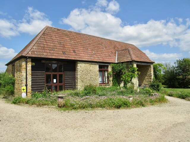
Although small, Lower Key boasts a few amenities that cater to the needs of its residents. These include a local pub, which serves as a social hub for the community, as well as a village hall that hosts various events and gatherings. The village also has a primary school, ensuring that families with young children have access to education within the local area.

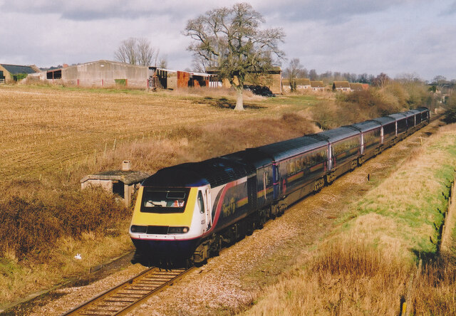
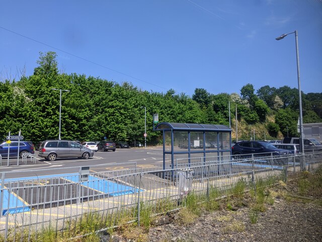
For those seeking a wider range of facilities, the nearby town of Bridgwater offers a variety of shops, supermarkets, restaurants, and leisure activities. Lower Key benefits from good transport links, with regular bus services connecting it to Bridgwater and other surrounding towns.

Overall, Lower Key is a quaint and idyllic village that offers a peaceful and rural lifestyle, while still providing easy access to nearby amenities and attractions.

If you have any feedback on the listing, please let us know in the comments section below.
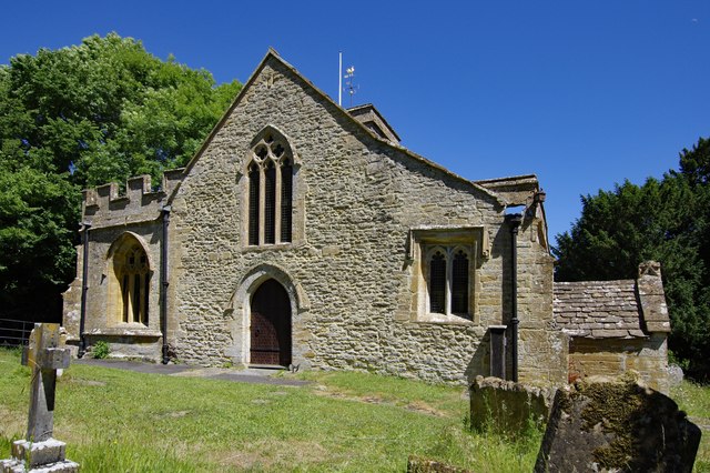
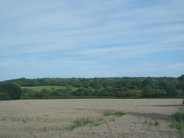
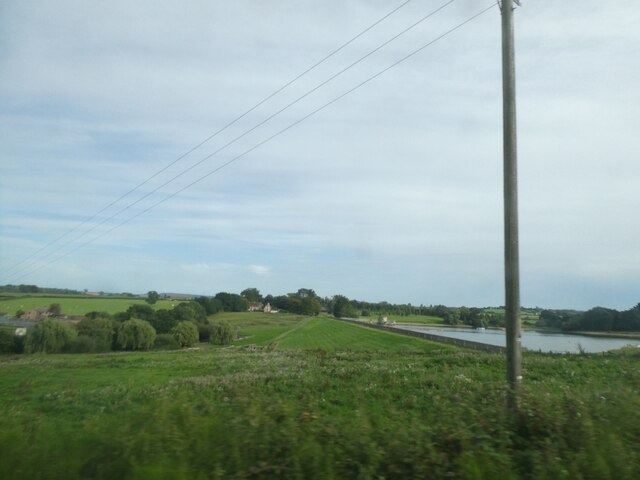
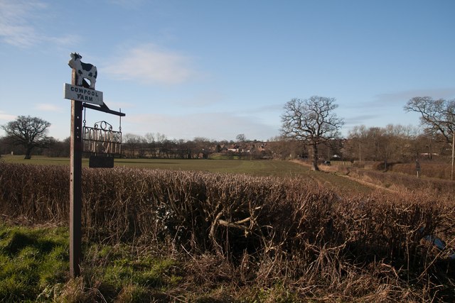
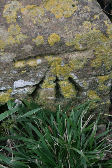
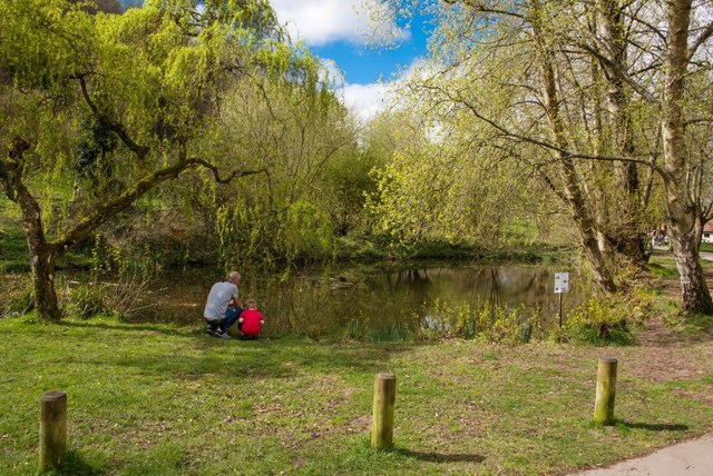
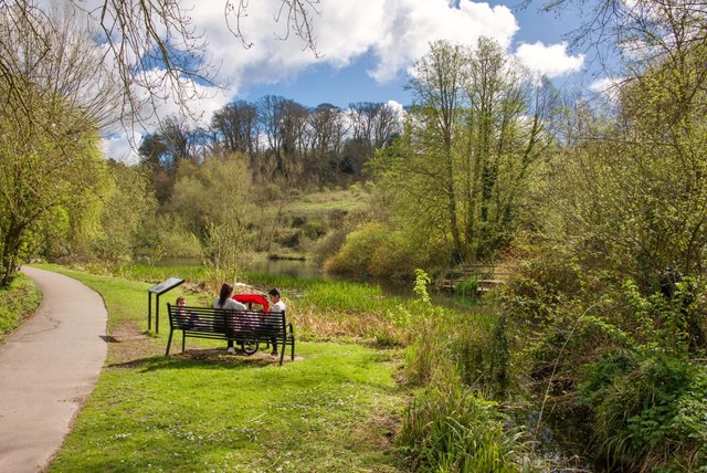
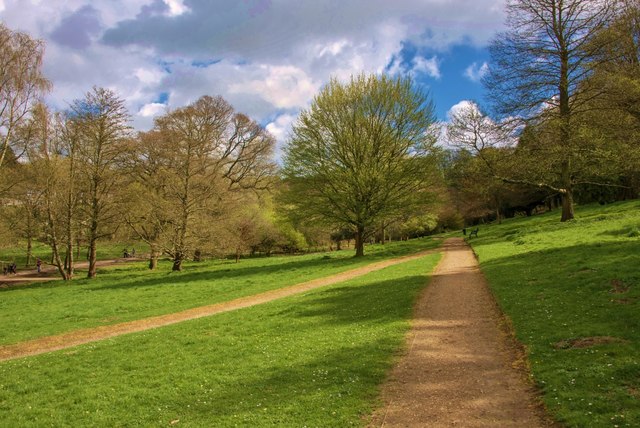
Lower Key Images

Images are sourced within 2km of 50.918685/-2.6328767 or Grid Reference ST5513. Thanks to Geograph Open Source API. All images are credited.

Helyar Arms Cottages and the Helyar Arms, East Coker.
Helyar Arms
Cottages and the Helyar Arms, East Coker.
Railway at Stoford Railway passing under the A37 near Yeovil Junction.
Railway at Stoford
Railway passing under the A37 near Yeovil Junction.
Small Waterfall in Ninesprings
Clifton Road Taking a breather on a small hill. Was racing to catch a train at Yeovil Junction having got just over half an hour to get here from the closed line at Sherborne. (I made it)
Clifton Road
Taking a breather on a small hill. Was racing to catch a train at Yeovil Junction having got just over half an hour to get here from the closed line at Sherborne. (I made it)
Newton Road, Stoford First visit to Somerset for a while. Not far to the station!
Newton Road, Stoford
First visit to Somerset for a while. Not far to the station!
Court House Barn The converted barn is used for charity events, small celebrations, meetings and a place to go for moments of quietness.  There is also a memorial field with trees planted in remembrance of loved ones.
Court House Barn
The converted barn is used for charity events, small celebrations, meetings and a place to go for moments of quietness. There is also a memorial field with trees planted in remembrance of loved ones.
Car park at Yeovil Junction station
St Mary Magdalene's Church, Barwick East wall. Unfortunately the church wasn't open.
St Mary Magdalene's Church, Barwick
East wall. Unfortunately the church wasn't open.
St Mary Magdalene's Church, Barwick The East wall. Unfortunately, the church wan't open.
St Mary Magdalene's Church, Barwick
The East wall. Unfortunately, the church wan't open.
Fields south of Stoford, Clifton Wood in the distance
Embankment, Sutton Bingham reservoir
Sign for Cowpool Farm, Stoford
Benchmark on East Coker School Ordnance Survey benchmark, described on database at <span class="nowrap"><a title="http://www.bench-marks.org.uk/bm66969" rel="nofollow ugc noopener" href="http://www.bench-marks.org.uk/bm66969">Link</a><img style="margin-left:2px;" alt="External link" title="External link - shift click to open in new window" src="https://s1.geograph.org.uk/img/external.png" width="10" height="10"/></span>.
Benchmark on East Coker School
Ordnance Survey benchmark, described on database at LinkExternal link.
Yeovil Half Marathon 2016 Three miles into the race and this group passes through Yeovil Country Park.
Yeovil Half Marathon 2016
Three miles into the race and this group passes through Yeovil Country Park.
Yeovil Country Park: Time to learn
Yeovil Country Park: A family relaxes
Yeovil Country Park: Paths converge
Footpath at Yeovil Junction This is the start of the footpath from Yeovil Junction towards Clifton Maybank. A machete would have been helpful to break through the undergrowth - I was attacked by brambles and nettles. At some points it was almost impenetrable but it was the marked path so I persevered and finally emerged into open ground. The irony was, with a little local knowledge, I would have known that I could have easily strolled through an adjacent field to avoid the hassle!
Footpath at Yeovil Junction
This is the start of the footpath from Yeovil Junction towards Clifton Maybank. A machete would have been helpful to break through the undergrowth - I was attacked by brambles and nettles. At some points it was almost impenetrable but it was the marked path so I persevered and finally emerged into open ground. The irony was, with a little local knowledge, I would have known that I could have easily strolled through an adjacent field to avoid the hassle!
Show me another place!

Lower Key is located at Grid Ref: ST5513 (Lat: 50.918685, Lng: -2.6328767)

Administrative County: Somerset

District: South Somerset

Police Authority: Avon and Somerset

What 3 Words

///narrow.appeal.visits. Near Yeovil, Somerset

Nearby Locations

Lower Key

Related Wikis

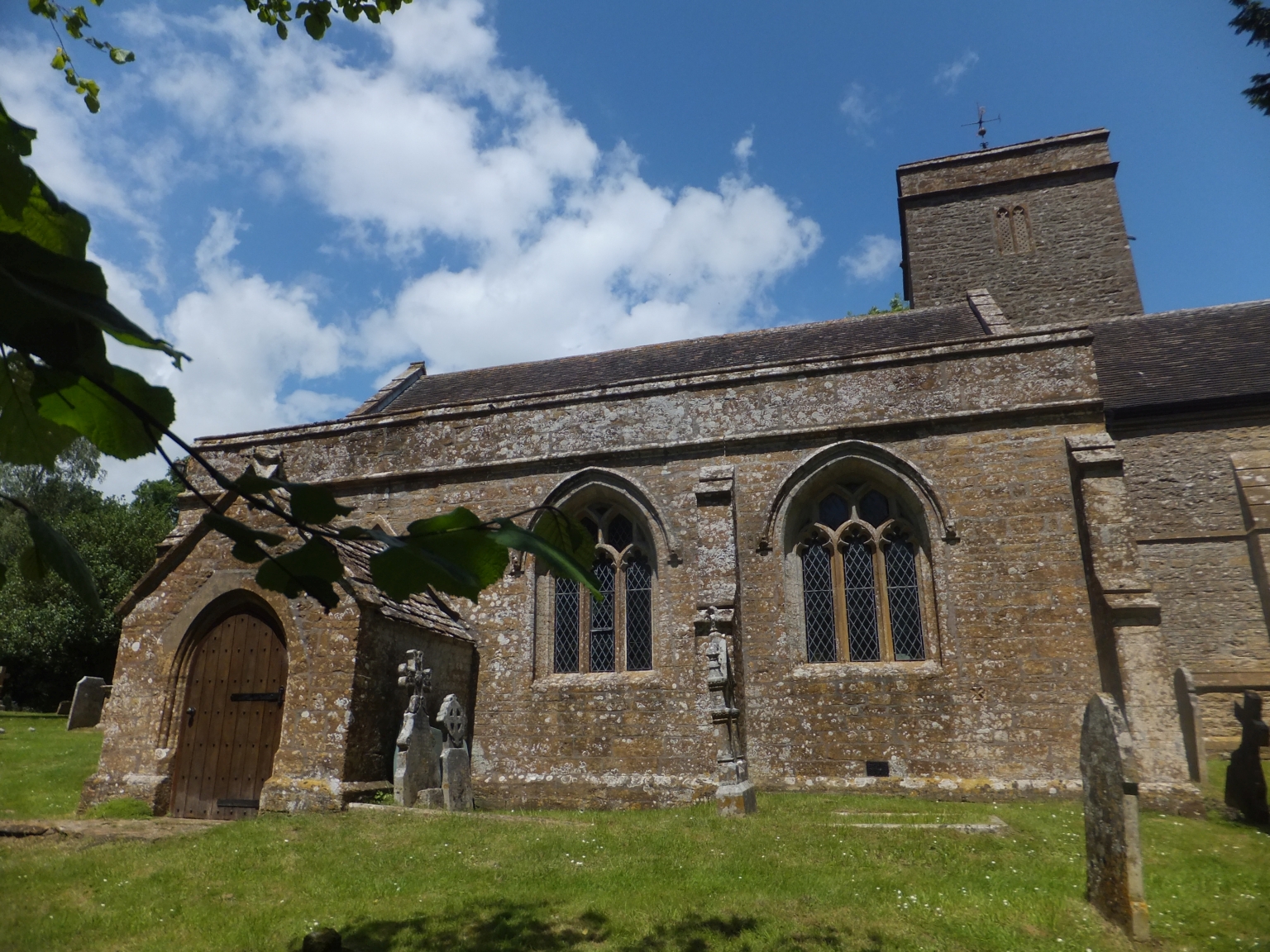
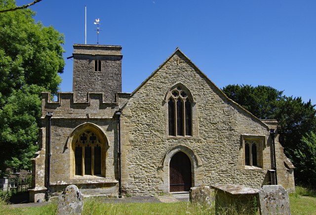
Church of St Mary Magdalene, Barwick

The Anglican Church of St Mary Magdalene in Barwick, Somerset, England was built in the 13th century. It is a Grade II* listed building. == History... ==

Barwick, Somerset

Barwick is a village and parish in Somerset, England, about 2 miles (3.2 km) south of Yeovil and on the border with Dorset. The parish, which includes...

Hymerford House

Hymerford House (which has also been known as Grove Farm, Manor House and Bridge Farm) in East Coker, Somerset, England was built in the 15th century and...
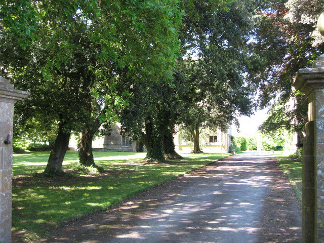
East Coker

East Coker is a village and civil parish in the South Somerset district of Somerset, England. Its nearest town is Yeovil, two miles (3.2 km) to the north...

Yeovil Junction railway station

Yeovil Junction railway station is the busier, but less central, of two railway stations serving the town of Yeovil in England. The station is 2 miles...

Helyar Almshouses

The Helyar Almshouses were erected between 1640 and 1660 by William Helyar Archdeacon of Barnstable of Coker Court, East Coker, Somerset, England. The...

Naish Priory

Naish Priory in East Coker, Somerset, England, contains portions of a substantial house dating from the mid 14th century to around 1400. Emery says the...

Clifton Maybank

Clifton Maybank is a hamlet and civil parish in the English county of Dorset. It is located about a mile southwest of the village of Bradford Abbas. It...

Nearby Amenities

Located within 500m of 50.918685,-2.6328767
Power: pole
Lat/Long: 50.9229451/-2.6315724
Power: pole
Lat/Long: 50.9227105/-2.6333921
Power: pole
Lat/Long: 50.9226062/-2.6342606
Power: pole
Lat/Long: 50.9224661/-2.6354315
Power: pole
Lat/Long: 50.9222787/-2.6367755
Crossing
Lat/Long: 50.9182287/-2.6319453
Crossing
Lat/Long: 50.9188119/-2.632447
The data included in this document is from www.openstreetmap.org. The data is made available under ODbL.

Have you been to Lower Key?

Leave your review of Lower Key below (or comments, questions and feedback).