Low Springs

Settlement in Yorkshire

England

Low Springs

Potter Brow Road, Baildon Moor
Potter Brow Road, Baildon Moor Credit: habiloid

Low Springs is a small hamlet located in the picturesque county of Yorkshire, England. Situated in the northeastern part of the county, it falls within the administrative district of North Yorkshire. With a population of around 200 residents, it is a close-knit community known for its tranquility and natural beauty.

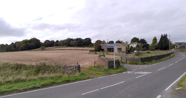
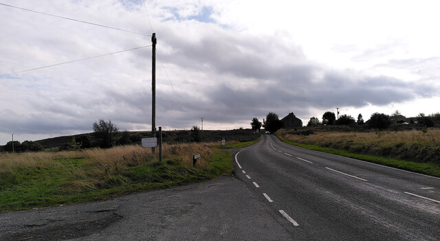
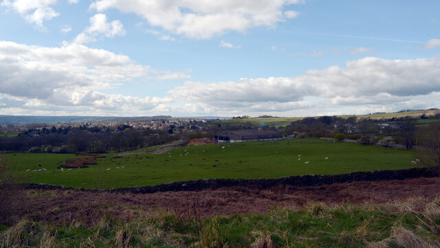
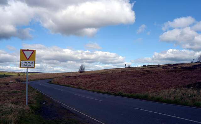
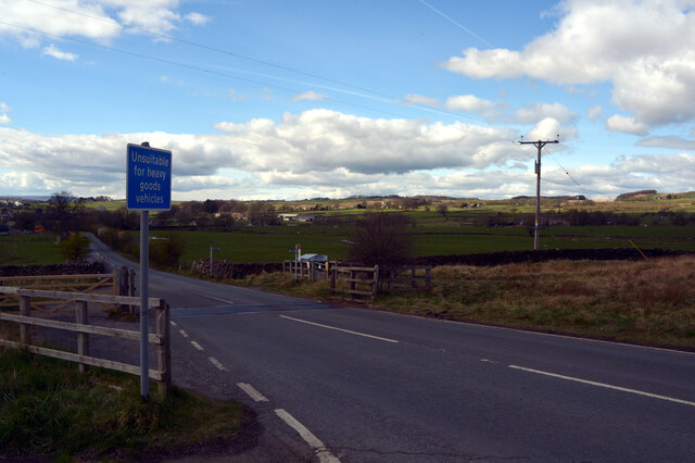
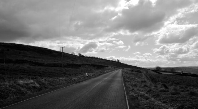
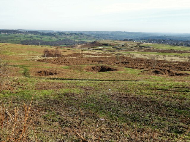
Surrounded by rolling green hills and dotted with traditional stone cottages, Low Springs offers a peaceful retreat from the hustle and bustle of city life. The hamlet is nestled in a valley, with a small stream running through it, adding to its idyllic charm. The area is predominantly rural, characterized by lush meadows, farmland, and patches of woodland.

Despite its small size, Low Springs boasts a rich history dating back centuries. The local church, St. Mary's, is a prominent feature, believed to have been built in the 12th century. Its ancient architecture and stained glass windows attract visitors interested in its religious and architectural significance.

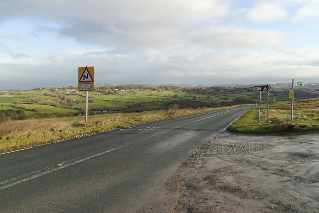
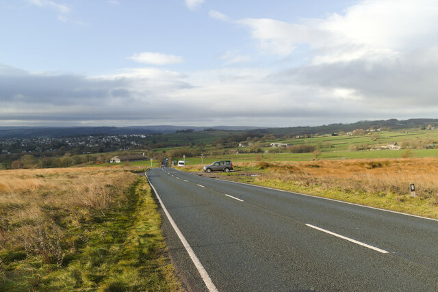
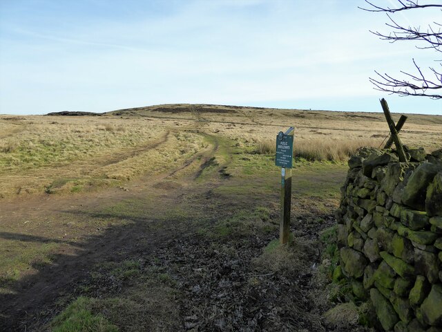
Due to its rural location, Low Springs is well-suited for outdoor enthusiasts and nature lovers. The surrounding countryside offers numerous walking trails and scenic routes, providing opportunities for hiking, cycling, and horseback riding. The nearby nature reserves and parks provide habitats for a variety of flora and fauna, making it a popular spot for birdwatching and wildlife spotting.

Low Springs may be a small hamlet, but it offers a peaceful and charming escape for those seeking tranquility and a connection with nature. Its rich history and natural beauty make it a hidden gem in the heart of Yorkshire.

If you have any feedback on the listing, please let us know in the comments section below.
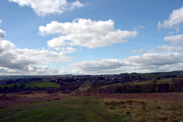
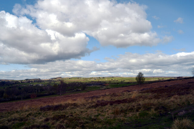
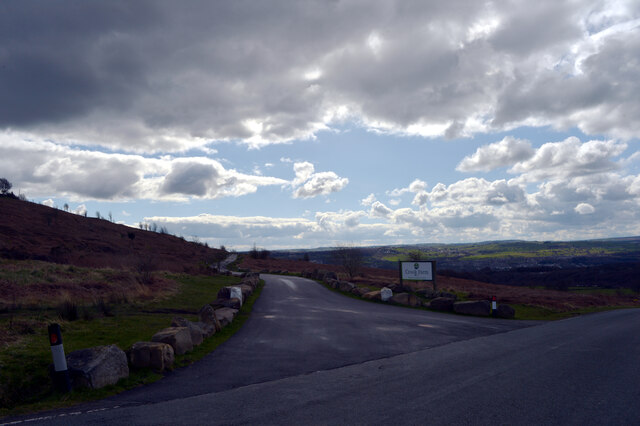
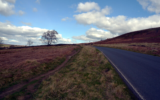
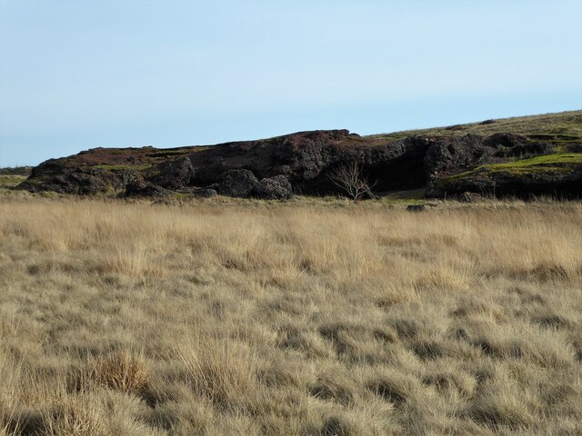
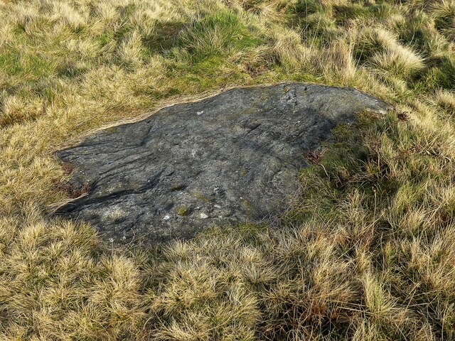
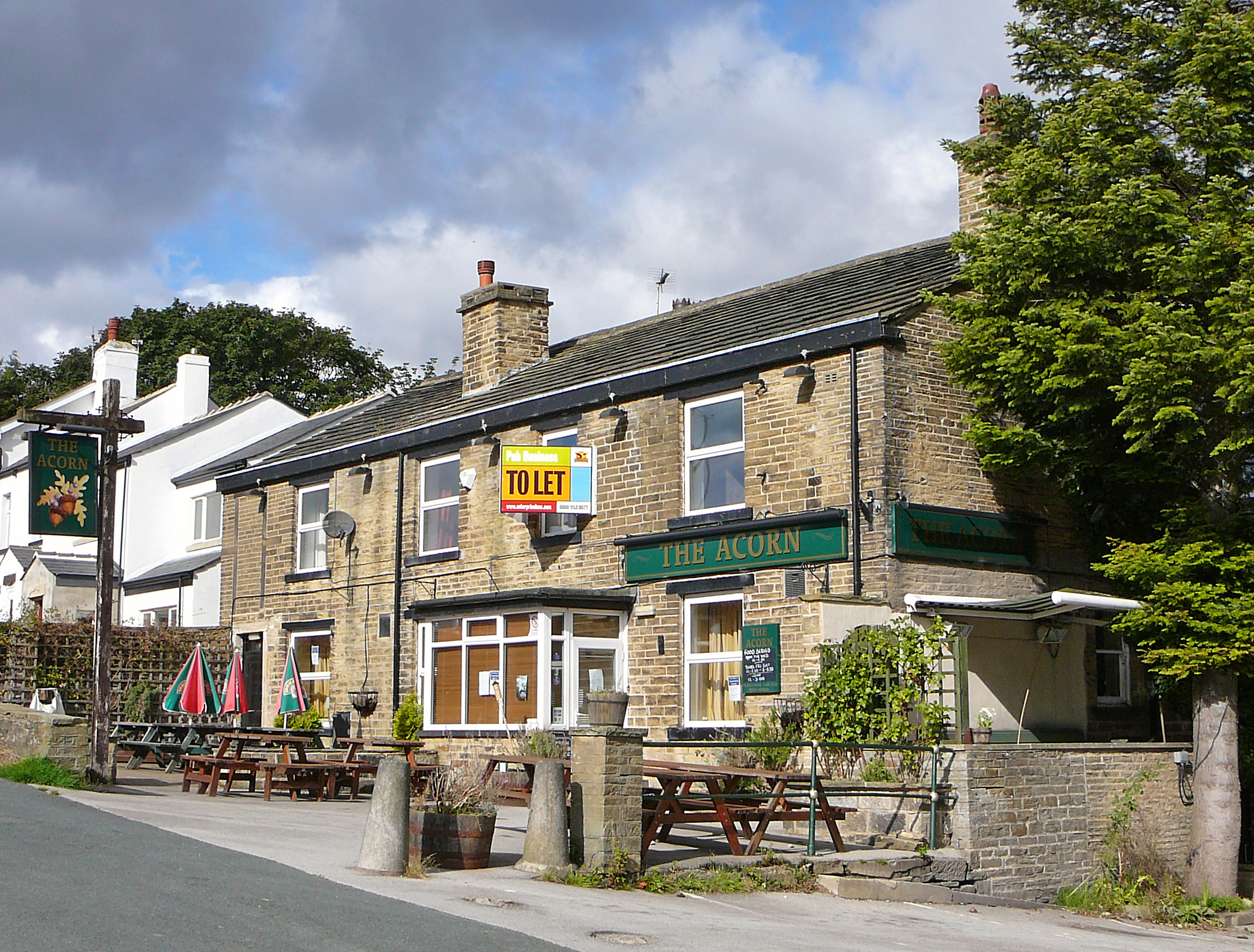
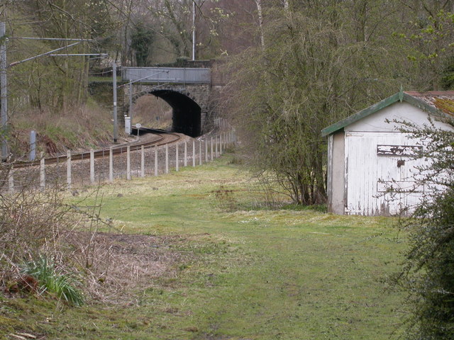
Low Springs Images

Images are sourced within 2km of 53.865457/-1.7716726 or Grid Reference SE1541. Thanks to Geograph Open Source API. All images are credited.

Potter Brow Road, Baildon Moor
Hawksworth Road, Baildon Moor
Bingley Road, Baildon Moor Approaching the bends near Baildon Golf Club.
Bingley Road, Baildon Moor
Approaching the bends near Baildon Golf Club.
Bingley Road approaching Glovershaw Farm
A view towards Eldwick from Glen Road, Baildon
A view from Glen Road, Baildon
Rood to Crook Farm seen from Glen Road, Baildon
Glen Road, Baildon
Glen Road, Baildon
Looking towards Glovershaw Farm from Glen Road, Baildon
Glen Road, Baildon
Glen Road, Baildon
Glovershaw Lane, Baildon
Junction of Bingley Road and Glen Road, Baildon
Glen Road, Baildon
Glen Road, Baildon
Modern milestone On the north-west corner of the cross roads west of Hawksworth, Hillings Lane/Old Lane/Mill Lane/Goose Lane.  When this was set up in 2002 the faces were painted white with the top and lettering in black.
Modern milestone
On the north-west corner of the cross roads west of Hawksworth, Hillings Lane/Old Lane/Mill Lane/Goose Lane. When this was set up in 2002 the faces were painted white with the top and lettering in black.
Old Bell Pit remains View from the bridleway to Dobrudden with the disused Baildon reservoir embankments beyond the pit hollows
Old Bell Pit remains
View from the bridleway to Dobrudden with the disused Baildon reservoir embankments beyond the pit hollows
Bridleway to Baildon Hill At the corner of Dobrudden Caravan Park where bridleways cross one another, with Baildon Hill ahead.
Bridleway to Baildon Hill
At the corner of Dobrudden Caravan Park where bridleways cross one another, with Baildon Hill ahead.
The Cinder Caves An old tip of furnace type waste on Baildon Moor that appears like a lava flow  with hollows and 'caves'.
The Cinder Caves
An old tip of furnace type waste on Baildon Moor that appears like a lava flow with hollows and 'caves'.
Cup marked rock On Baildon Moor described as having four clear cups and one possible cup, possible ring & groove
Cup marked rock
On Baildon Moor described as having four clear cups and one possible cup, possible ring & groove
Show me another place!

Low Springs is located at Grid Ref: SE1541 (Lat: 53.865457, Lng: -1.7716726)

Division: West Riding

Unitary Authority: Bradford

Police Authority: West Yorkshire

What 3 Words

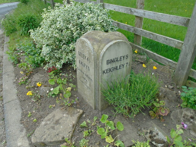
///ally.after.calm. Near Baildon, West Yorkshire

Related Wikis

Baildon Urban District

Baildon was an urban district in the West Riding of Yorkshire, England between 1894 and 1974. It was enlarged on 1 April 1937 by gaining part of Wharfedale...

Colne Valley Urban District

Colne Valley was an urban district in the West Riding of Yorkshire, England between 1937 and 1974. It takes its name from the River Colne which rises above...

Hawksworth, Guiseley

Hawksworth is a village 1 mile (1.6 km) west of the town of Guiseley in West Yorkshire, England. It is located to the south of Menston and north of Baildon...

Baildon

Baildon is a town and civil parish in the Bradford Metropolitan Borough in West Yorkshire, England and within the historic boundaries of the West Riding...

Baildon railway station

Baildon railway station serves the town of Baildon near Shipley in West Yorkshire, England. The station reopened under British Rail on 5 January 1973,...

Shipley (UK Parliament constituency)

Shipley is a constituency represented in the House of Commons of the UK Parliament since 2005 by Philip Davies, a Conservative. == Boundaries == 1885...

Eldwick

Eldwick is a small village near Bingley in the City of Bradford district in West Yorkshire. It is split up into two main parts, Eldwick, the main populated...

Esholt railway station

Esholt railway station was a railway station on the Shipley to Guiseley line of the Midland Railway. It opened on 4 December 1876 along with Baildon station...

Nearby Amenities

Located within 500m of 53.865457,-1.7716726
Parking
Access: yes
Fee: no
Parking: surface
Lat/Long: 53.8611185/-1.770304
Source: landsat
Lat/Long: 53.8689302/-1.7673451
Source: landsat
Lat/Long: 53.8685608/-1.7678483
Source: landsat
Lat/Long: 53.8676374/-1.7673179
Source: landsat
Lat/Long: 53.8669447/-1.7657122
Source: landsat
Lat/Long: 53.867098/-1.7672855
Source: landsat
Lat/Long: 53.8674005/-1.7686181
Source: landsat
Lat/Long: 53.8676458/-1.7690917
Source: landsat
Lat/Long: 53.8678446/-1.7692173
Source: landsat
Lat/Long: 53.8669512/-1.7694859
Source: landsat
Lat/Long: 53.8666367/-1.7685946
Source: landsat
Lat/Long: 53.8666093/-1.7666652
Source: landsat
Lat/Long: 53.8665789/-1.765568
Source: landsat
Lat/Long: 53.86673/-1.7651233
Source: landsat
Lat/Long: 53.8640869/-1.76468
Source: landsat
Lat/Long: 53.8635668/-1.7648139
Source: landsat
Lat/Long: 53.867491/-1.765397
Source: landsat
Lat/Long: 53.8673904/-1.7660115
Source: landsat
Lat/Long: 53.8687071/-1.7667788
Note: FIXME - power line continues; survey required
Power: tower
Source: OS 1:25k
Lat/Long: 53.867355/-1.7715366
Power: tower
Source: OS 1:25k;Bing
Lat/Long: 53.8661119/-1.7680309
Power: tower
Source: OS 1:25k;Bing
Lat/Long: 53.8648212/-1.7643026
Power: tower
Source: OS 1:25k;Bing
Lat/Long: 53.8682753/-1.7743722
Archaeological Site: mineral_extraction
Historic: mine_shaft
Source: OS 1:25k
Lat/Long: 53.864814/-1.7768683
Archaeological Site: mineral_extraction
Historic: mine_shaft
Source: OS 1:25k
Lat/Long: 53.8637258/-1.7747869
Archaeological Site: mineral_extraction
Historic: mine_shaft
Source: OS 1:25k
Lat/Long: 53.8640295/-1.7769113
Archaeological Site: mineral_extraction
Historic: mine_shaft
Source: OS 1:25k
Lat/Long: 53.8630551/-1.7771473
Archaeological Site: mineral_extraction
Historic: mine_shaft
Source: OS 1:25k
Lat/Long: 53.8647887/-1.7773404
Archaeological Site: mineral_extraction
Historic: mine_shaft
Source: OS 1:25k
Lat/Long: 53.8623845/-1.7762032
Archaeological Site: mineral_extraction
Historic: mine_shaft
Source: OS 1:25k
Lat/Long: 53.8655099/-1.7791214
Archaeological Site: mineral_extraction
Historic: mine_shaft
Source: OS 1:25k
Lat/Long: 53.8642832/-1.7748299
Archaeological Site: mineral_extraction
Historic: mine_shaft
Source: OS 1:25k
Lat/Long: 53.8635486/-1.7755594
Archaeological Site: mineral_extraction
Historic: mine_shaft
Source: OS 1:25k
Lat/Long: 53.8644217/-1.7773833
Archaeological Site: mineral_extraction
Historic: mine_shaft
Source: OS 1:25k
Lat/Long: 53.8639668/-1.7757311
Historic: mine_shaft
Note: tentative
Source: Bing
Lat/Long: 53.8630304/-1.7743833
Access: no
Barrier: stile
Foot: yes
Material: wood
Stile: stepover
Lat/Long: 53.8630017/-1.7678296
Access: no
Barrier: stile
Foot: yes
Material: stone
Stile: stepover
Lat/Long: 53.8652076/-1.7646252
Access: no
Barrier: stile
Foot: yes
Material: stone
Stile: squeezer
Lat/Long: 53.8643761/-1.76588
Access: no
Barrier: stile
Foot: yes
Material: stone
Stile: squeezer
Lat/Long: 53.8619258/-1.7696158
Access: no
Barrier: stile
Foot: yes
Material: stone
Stile: stepover
Lat/Long: 53.8664302/-1.768147
Access: no
Barrier: stile
Foot: yes
Material: stone
Stile: stepover
Lat/Long: 53.8657423/-1.7681248
Access: no
Barrier: kissing_gate
Foot: yes
Lat/Long: 53.8658054/-1.7703276
Access: no
Barrier: kissing_gate
Foot: yes
Lat/Long: 53.8655062/-1.7703847
Access: no
Barrier: stile
Foot: yes
Material: wood
Stile: squeezer
Lat/Long: 53.8619903/-1.7692213
Low Hill
Place: hamlet
Lat/Long: 53.863907/-1.7724681
Design: h-frame
Power: tower
Lat/Long: 53.8687906/-1.7743986
Power: pole
Lat/Long: 53.8696692/-1.7721281
The data included in this document is from www.openstreetmap.org. The data is made available under ODbL.

Have you been to Low Springs?

Leave your review of Low Springs below (or comments, questions and feedback).