Roundabout Wood

Wood, Forest in Yorkshire

England

Roundabout Wood

Potter Brow Road, Baildon Moor
Potter Brow Road, Baildon Moor Credit: habiloid

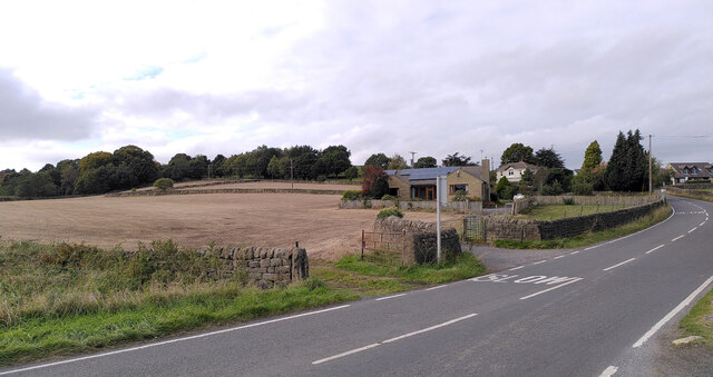
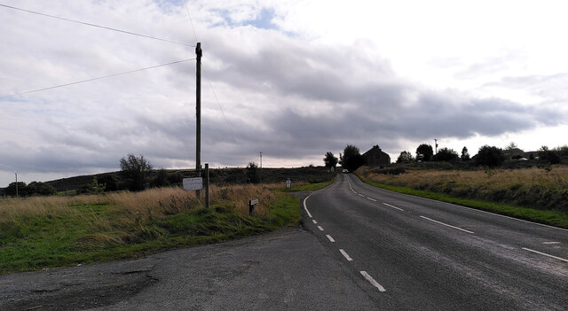
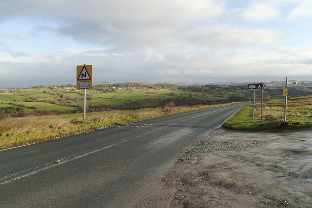
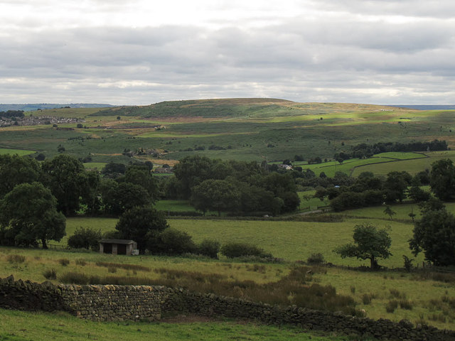
Roundabout Wood, located in Yorkshire, is a picturesque forest known for its natural beauty and tranquil atmosphere. Spread across a vast area, Roundabout Wood is a haven for nature enthusiasts, offering a diverse range of flora and fauna.

The wood is home to a variety of tree species, including oak, beech, and birch, which create a stunning canopy overhead. The forest floor is carpeted with vibrant wildflowers, creating a colorful and enchanting landscape. It is also a habitat for numerous wildlife species, such as deer, rabbits, and a wide array of bird species, making it a popular spot for birdwatchers and wildlife photographers.

Roundabout Wood provides an ideal setting for outdoor activities and leisurely walks. Visitors can explore the network of well-maintained trails that wind through the forest, offering opportunities for hiking, cycling, and horse riding. The wood also has designated picnic areas, allowing visitors to enjoy a peaceful lunch amidst nature.

The management of Roundabout Wood places a strong emphasis on conservation and sustainability. They actively work to preserve the natural ecosystem and maintain the forest's biodiversity. This dedication is evident through the presence of informative signboards that educate visitors about the wood's flora and fauna, as well as the importance of preserving such natural habitats.

In summary, Roundabout Wood in Yorkshire is a stunning forest that offers a peaceful retreat from the hustle and bustle of everyday life. With its diverse range of plant and animal life, well-maintained trails, and commitment to conservation, it is a must-visit destination for nature lovers and outdoor enthusiasts alike.

If you have any feedback on the listing, please let us know in the comments section below.

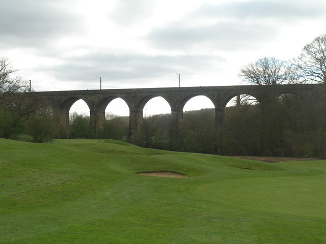
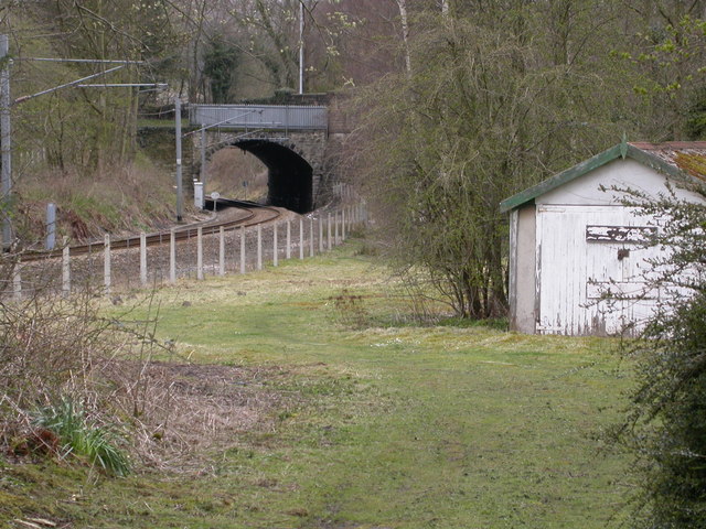
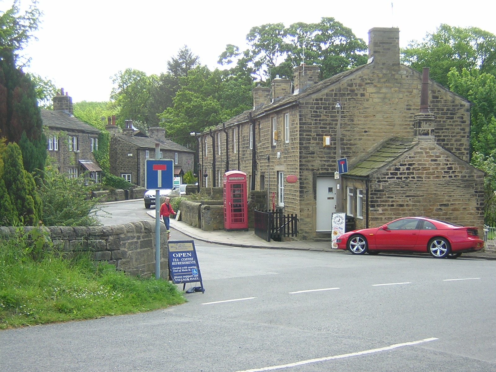
Roundabout Wood Images

Images are sourced within 2km of 53.867922/-1.7638276 or Grid Reference SE1541. Thanks to Geograph Open Source API. All images are credited.

Potter Brow Road, Baildon Moor
Hawksworth Road, Baildon Moor
Bingley Road, Baildon Moor Approaching the bends near Baildon Golf Club.
Bingley Road, Baildon Moor
Approaching the bends near Baildon Golf Club.
Denbirayne Chimney, Tong Park Industrial Estate, Baildon See <a href="https://www.geograph.org.uk/photo/6887736">SE1640 : The Denbirayne chimney</a> for another view and a brief history. Also see <a href="https://www.geograph.org.uk/photo/7096458">SE1640 : Looking Up the Denbirayne Chimney, Tong Park Industrial Estate, Baildon</a> for a much closer view. Tong Park railway viaduct is in the distance.
Denbirayne Chimney, Tong Park Industrial Estate, Baildon
See SE1640 : The Denbirayne chimney for another view and a brief history. Also see SE1640 : Looking Up the Denbirayne Chimney, Tong Park Industrial Estate, Baildon for a much closer view. Tong Park railway viaduct is in the distance.
Looking Up the Denbirayne Chimney, Tong Park Industrial Estate, Baildon I almost fell over backwards taking this image, but it was something I just had to do. See <a href="https://www.geograph.org.uk/photo/7084813">SE1640 : Denbirayne Chimney, Tong Park Industrial Estate, Baildon</a> for a more distant view.
Looking Up the Denbirayne Chimney, Tong Park Industrial Estate, Baildon
I almost fell over backwards taking this image, but it was something I just had to do. See SE1640 : Denbirayne Chimney, Tong Park Industrial Estate, Baildon for a more distant view.
Modern milestone On the north-west corner of the cross roads west of Hawksworth, Hillings Lane/Old Lane/Mill Lane/Goose Lane.  When this was set up in 2002 the faces were painted white with the top and lettering in black.
Modern milestone
On the north-west corner of the cross roads west of Hawksworth, Hillings Lane/Old Lane/Mill Lane/Goose Lane. When this was set up in 2002 the faces were painted white with the top and lettering in black.
Old Bell Pit remains View from the bridleway to Dobrudden with the disused Baildon reservoir embankments beyond the pit hollows
Old Bell Pit remains
View from the bridleway to Dobrudden with the disused Baildon reservoir embankments beyond the pit hollows
Cup marked rock On Baildon Moor described as having four clear cups and one possible cup, possible ring & groove
Cup marked rock
On Baildon Moor described as having four clear cups and one possible cup, possible ring & groove
Hillings Lane This road heads north towards Ilkley, skirting the edge of Rombalds Moor (left).
Hillings Lane
This road heads north towards Ilkley, skirting the edge of Rombalds Moor (left).
Hawksworth Equestrian Centre Off Hillings Lane.  Rombalds Moor in the background. See <a href="https://www.geograph.org.uk/photo/6625884">SE1542 : Hawksworth Equestrian Centre, Hillings Lane</a> for a closer view of the main building.
Hawksworth Equestrian Centre
Off Hillings Lane. Rombalds Moor in the background. See SE1542 : Hawksworth Equestrian Centre, Hillings Lane for a closer view of the main building.
New Dam The name is given to a very small reservoir on the Jum Beck and presumably supplied Hawksworth Mill <a href="https://www.geograph.org.uk/photo/4128675">SE1541 : Remains of Hawksworth Corn Mill</a>. See also <a href="https://www.geograph.org.uk/photo/996920">SE1542 : Lake viewed from Hillings Lane, Hawksworth</a>.
New Dam
The name is given to a very small reservoir on the Jum Beck and presumably supplied Hawksworth Mill SE1541 : Remains of Hawksworth Corn Mill. See also SE1542 : Lake viewed from Hillings Lane, Hawksworth.
Baildon Hill Looking across from Hillings Lane on the edge of Rombalds Moor, 3km away.
Baildon Hill
Looking across from Hillings Lane on the edge of Rombalds Moor, 3km away.
High Royds Hall
High Royds Hall
Norcroft Farm, near Hawksworth
Hawksworth Methodist Church
Tong Park Viaduct In the foreground is part of the Hollins Hall golf course
Tong Park Viaduct
In the foreground is part of the Hollins Hall golf course
Hollins Hall
Hollins Hall
Club House, Bradford Golf Club
Show me another place!

Roundabout Wood is located at Grid Ref: SE1541 (Lat: 53.867922, Lng: -1.7638276)

Division: West Riding

Unitary Authority: Leeds

Police Authority: West Yorkshire

What 3 Words

///king.intend.preoccupied. Near Menston, West Yorkshire

Related Wikis

Hawksworth, Guiseley

Hawksworth is a village 1 mile (1.6 km) west of the town of Guiseley in West Yorkshire, England. It is located to the south of Menston and north of Baildon...

Baildon Urban District

Baildon was an urban district in the West Riding of Yorkshire, England between 1894 and 1974. It was enlarged on 1 April 1937 by gaining part of Wharfedale...

Colne Valley Urban District

Colne Valley was an urban district in the West Riding of Yorkshire, England between 1937 and 1974. It takes its name from the River Colne which rises above...

Baildon

Baildon is a town and civil parish in the Bradford Metropolitan Borough in West Yorkshire, England and within the historic boundaries of the West Riding...

Baildon railway station

Baildon railway station serves the town of Baildon near Shipley in West Yorkshire, England. The station reopened under British Rail on 5 January 1973,...

Esholt railway station

Esholt railway station was a railway station on the Shipley to Guiseley line of the Midland Railway. It opened on 4 December 1876 along with Baildon station...

High Royds Hospital

High Royds Hospital is a former psychiatric hospital south of the village of Menston, West Yorkshire, England. The hospital, which opened in 1888, closed...

Esholt

Esholt is a village and former civil parish in the metropolitan district of the City of Bradford, West Yorkshire, England. It is situated 3 miles (4.8...

Nearby Amenities

Located within 500m of 53.867922,-1.7638276
Source: landsat
Lat/Long: 53.8695575/-1.7670426
Source: landsat
Lat/Long: 53.8689302/-1.7673451
Source: landsat
Lat/Long: 53.8685608/-1.7678483
Source: landsat
Lat/Long: 53.8676374/-1.7673179
Source: landsat
Lat/Long: 53.8669447/-1.7657122
Source: landsat
Lat/Long: 53.867098/-1.7672855
Source: landsat
Lat/Long: 53.8674005/-1.7686181
Source: landsat
Lat/Long: 53.8676458/-1.7690917
Source: landsat
Lat/Long: 53.8678446/-1.7692173
Source: landsat
Lat/Long: 53.8669512/-1.7694859
Source: landsat
Lat/Long: 53.8666367/-1.7685946
Source: landsat
Lat/Long: 53.8666093/-1.7666652
Source: landsat
Lat/Long: 53.8665789/-1.765568
Source: landsat
Lat/Long: 53.86673/-1.7651233
Source: landsat
Lat/Long: 53.8661265/-1.7639486
Source: landsat
Lat/Long: 53.8655068/-1.7623639
Source: landsat
Lat/Long: 53.8639049/-1.7614747
Source: landsat
Lat/Long: 53.8639773/-1.7626719
Source: landsat
Lat/Long: 53.8640869/-1.76468
Source: landsat
Lat/Long: 53.8635668/-1.7648139
Source: landsat
Lat/Long: 53.8636195/-1.7625048
Source: landsat
Lat/Long: 53.8653661/-1.7598627
Source: landsat
Lat/Long: 53.8661356/-1.7599462
Source: landsat
Lat/Long: 53.8668425/-1.7610151
Source: landsat
Lat/Long: 53.8669256/-1.7617285
Source: landsat
Lat/Long: 53.8667641/-1.7628442
Source: landsat
Lat/Long: 53.8671018/-1.7639708
Source: landsat
Lat/Long: 53.867491/-1.765397
Source: landsat
Lat/Long: 53.8673904/-1.7660115
Source: landsat
Lat/Long: 53.8687071/-1.7667788
Source: landsat
Lat/Long: 53.8689081/-1.7667207
Source: landsat
Lat/Long: 53.8698122/-1.7666456
Access: no
Barrier: stile
Foot: yes
Material: wood
Stile: stepover
Lat/Long: 53.8663237/-1.7633134
Round Hill
Natural: peak
Source: OS 1:25k
Lat/Long: 53.8698453/-1.7636417
Honey Joan Hill
Natural: peak
Source: OS 1:25k
Lat/Long: 53.8684725/-1.7648541
Power: tower
Source: OS 1:25k;Bing
Lat/Long: 53.8661119/-1.7680309
Power: tower
Source: OS 1:25k;Bing
Lat/Long: 53.8648212/-1.7643026
Access: no
Barrier: kissing_gate
Foot: yes
Material: metal
Lat/Long: 53.8663667/-1.7637139
Access: no
Barrier: stile
Foot: yes
Material: stone
Stile: stepover
Lat/Long: 53.8652076/-1.7646252
Access: no
Barrier: stile
Foot: yes
Material: stone
Stile: squeezer
Lat/Long: 53.8643761/-1.76588
Access: private
Barrier: stile
Foot: yes
Material: stone
Stile: squeezer
Lat/Long: 53.8674744/-1.7612213
Access: no
Barrier: stile
Foot: yes
Material: wood
Stile: stepover
Lat/Long: 53.8664297/-1.763355
Access: no
Barrier: stile
Foot: yes
Material: stone
Stile: stepover
Lat/Long: 53.8664302/-1.768147
Access: no
Barrier: stile
Foot: yes
Material: stone
Stile: stepover
Lat/Long: 53.8657423/-1.7681248
Access: no
Barrier: kissing_gate
Foot: yes
Lat/Long: 53.8658054/-1.7703276
Information: guidepost
Tourism: information
Lat/Long: 53.8663845/-1.7637306
Power: pole
Lat/Long: 53.8700938/-1.7701332
Power: pole
Lat/Long: 53.8699801/-1.7681172
Power: pole
Lat/Long: 53.8688962/-1.7653053
Power: pole
Lat/Long: 53.8680175/-1.7630569
Material: wood
Power: pole
Lat/Long: 53.8673297/-1.7613027
Material: wood
Power: pole
Lat/Long: 53.8668797/-1.7597095
Power: pole
Lat/Long: 53.8657348/-1.7584831
The data included in this document is from www.openstreetmap.org. The data is made available under ODbL.

Have you been to Roundabout Wood?

Leave your review of Roundabout Wood below (or comments, questions and feedback).