Jum Wood

Wood, Forest in Yorkshire

England

Jum Wood

Potter Brow Road, Baildon Moor
Potter Brow Road, Baildon Moor Credit: habiloid

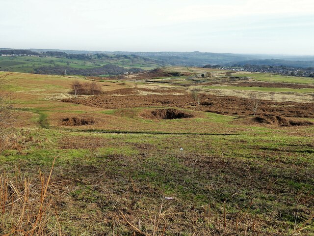
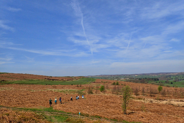
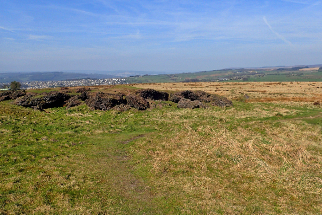
Jum Wood, Yorkshire, also known as Wood or Forest, is a picturesque area located in the county of Yorkshire, England. It is situated in the northern part of the county, encompassing a vast expanse of lush greenery and serene landscapes. The wood is known for its rich biodiversity and is a popular destination for nature enthusiasts and hikers.

Jum Wood is characterized by its dense forest cover, with towering trees providing shade and shelter to a diverse range of flora and fauna. The wood is home to various species of plants, including oak, beech, and birch, which create a stunning tapestry of colors during different seasons. The forest floor is adorned with a carpet of wildflowers and ferns, adding to its natural beauty.

The wood offers a tranquil environment, making it an ideal retreat for those seeking solace in nature. Numerous walking trails and footpaths crisscross the area, allowing visitors to explore the wood's hidden treasures. These trails lead to enchanting spots such as secluded ponds, babbling brooks, and breathtaking viewpoints from where one can admire the surrounding countryside.

Jum Wood is also home to a variety of wildlife, including deer, foxes, rabbits, and a plethora of bird species. Birdwatchers flock to the wood to catch glimpses of rare and indigenous birds, making it a haven for ornithologists.

Overall, Jum Wood, Yorkshire, is a captivating destination that showcases the natural beauty of the region. Its pristine landscapes, diverse flora, and fauna, and peaceful ambiance make it a must-visit for nature lovers and adventurers alike.

If you have any feedback on the listing, please let us know in the comments section below.
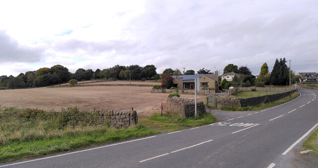
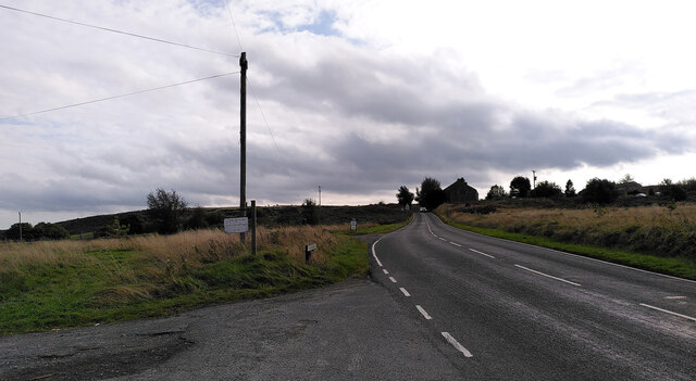
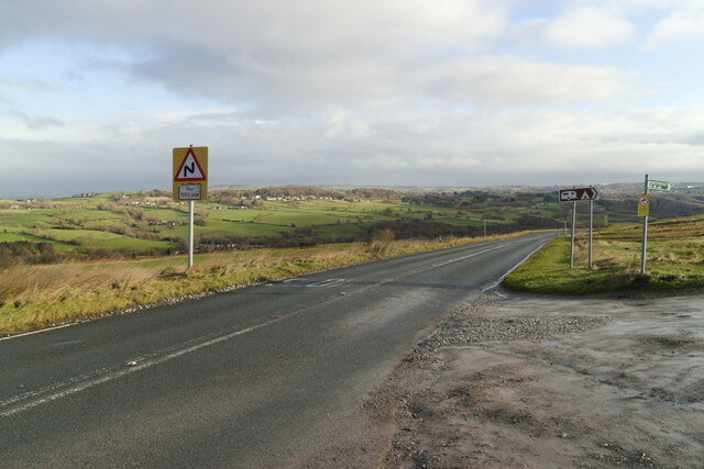
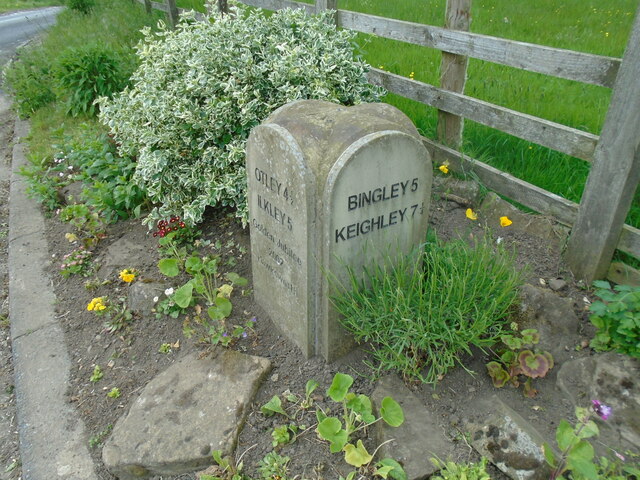
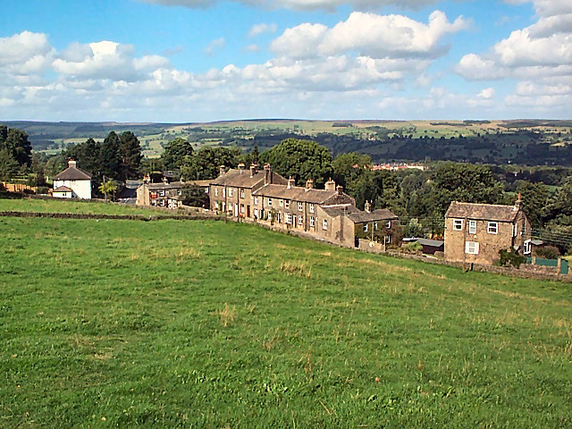
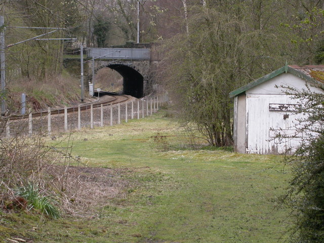
Jum Wood Images

Images are sourced within 2km of 53.872961/-1.7622175 or Grid Reference SE1541. Thanks to Geograph Open Source API. All images are credited.

Potter Brow Road, Baildon Moor
Hawksworth Road, Baildon Moor
Bingley Road, Baildon Moor Approaching the bends near Baildon Golf Club.
Bingley Road, Baildon Moor
Approaching the bends near Baildon Golf Club.
Modern milestone On the north-west corner of the cross roads west of Hawksworth, Hillings Lane/Old Lane/Mill Lane/Goose Lane.  When this was set up in 2002 the faces were painted white with the top and lettering in black.
Modern milestone
On the north-west corner of the cross roads west of Hawksworth, Hillings Lane/Old Lane/Mill Lane/Goose Lane. When this was set up in 2002 the faces were painted white with the top and lettering in black.
Old Bell Pit remains View from the bridleway to Dobrudden with the disused Baildon reservoir embankments beyond the pit hollows
Old Bell Pit remains
View from the bridleway to Dobrudden with the disused Baildon reservoir embankments beyond the pit hollows
Hillings Lane This road heads north towards Ilkley, skirting the edge of Rombalds Moor (left).
Hillings Lane
This road heads north towards Ilkley, skirting the edge of Rombalds Moor (left).
Hawksworth Equestrian Centre Off Hillings Lane.  Rombalds Moor in the background. See <a href="https://www.geograph.org.uk/photo/6625884">SE1542 : Hawksworth Equestrian Centre, Hillings Lane</a> for a closer view of the main building.
Hawksworth Equestrian Centre
Off Hillings Lane. Rombalds Moor in the background. See SE1542 : Hawksworth Equestrian Centre, Hillings Lane for a closer view of the main building.
New Dam The name is given to a very small reservoir on the Jum Beck and presumably supplied Hawksworth Mill <a href="https://www.geograph.org.uk/photo/4128675">SE1541 : Remains of Hawksworth Corn Mill</a>. See also <a href="https://www.geograph.org.uk/photo/996920">SE1542 : Lake viewed from Hillings Lane, Hawksworth</a>.
New Dam
The name is given to a very small reservoir on the Jum Beck and presumably supplied Hawksworth Mill SE1541 : Remains of Hawksworth Corn Mill. See also SE1542 : Lake viewed from Hillings Lane, Hawksworth.
New House Farm near Menston
High Royds Hall
High Royds Hall
Norcroft Farm, near Hawksworth
Hawksworth Methodist Church
Club House, Bradford Golf Club
Thorpe Farm Now Hawksworth Estate Cortyard Buildings
Thorpe Farm
Now Hawksworth Estate Cortyard Buildings
Approaching Bracken Hill on Baildon Moor
Pennythorn Hill
Pennythorn Hill
Bracken Hill It’s all in the name. On Baildon Moor between the towns of Ilkley, Otley and Bingley but it feels much more remote. Quiet with minimal mobile reception.

Taken from my daily photo blog <span class="nowrap"><a title="https://fhithich.wordpress.com/2017/04/07/bracken-hill/" rel="nofollow ugc noopener" href="https://fhithich.wordpress.com/2017/04/07/bracken-hill/">Link</a><img style="margin-left:2px;" alt="External link" title="External link - shift click to open in new window" src="https://s1.geograph.org.uk/img/external.png" width="10" height="10"/></span>
Bracken Hill
It’s all in the name. On Baildon Moor between the towns of Ilkley, Otley and Bingley but it feels much more remote. Quiet with minimal mobile reception. Taken from my daily photo blog LinkExternal link
Little London
Little London
Show me another place!

Jum Wood is located at Grid Ref: SE1541 (Lat: 53.872961, Lng: -1.7622175)

Division: West Riding

Unitary Authority: Leeds

Police Authority: West Yorkshire

What 3 Words

///reef.blast.dream. Near Menston, West Yorkshire

Related Wikis

Hawksworth, Guiseley

Hawksworth is a village 1 mile (1.6 km) west of the town of Guiseley in West Yorkshire, England. It is located to the south of Menston and north of Baildon...

High Royds Hospital

High Royds Hospital is a former psychiatric hospital south of the village of Menston, West Yorkshire, England. The hospital, which opened in 1888, closed...

Baildon Urban District

Baildon was an urban district in the West Riding of Yorkshire, England between 1894 and 1974. It was enlarged on 1 April 1937 by gaining part of Wharfedale...

Colne Valley Urban District

Colne Valley was an urban district in the West Riding of Yorkshire, England between 1937 and 1974. It takes its name from the River Colne which rises above...

Burley Woodhead

Burley Woodhead is a hamlet in the City of Bradford, in West Yorkshire, England. The hamlet is 1 mile (1.6 km) to the south-west of Burley in Wharfedale...

Baildon

Baildon is a town and civil parish in the Bradford Metropolitan Borough in West Yorkshire, England and within the historic boundaries of the West Riding...

Esholt railway station

Esholt railway station was a railway station on the Shipley to Guiseley line of the Midland Railway. It opened on 4 December 1876 along with Baildon station...

High Royds Hospital Railway

The High Royds Hospital Railway was a short railway connecting the West Riding County Asylum near Leeds in West Yorkshire with the Midland Railway line...

Nearby Amenities

Located within 500m of 53.872961,-1.7622175
Source: OS 1:25k
Lat/Long: 53.8755988/-1.7600456
Source: landsat
Lat/Long: 53.8695575/-1.7670426
Source: landsat
Lat/Long: 53.8698122/-1.7666456
Bus Stop
Old Lane Hillings Lane
Local Ref: 45018813
Naptan AtcoCode: 450018813
Naptan Bearing: E
Naptan CommonName: Old Lane Hillings Lane
Naptan Crossing: Hillings Lane
Naptan Indicator: Stop 45018813
Naptan PlusbusZoneRef: LEEDS
Naptan ShortCommonName: Hillings Lane
Naptan Street: Old Lane
Naptan Verified: no
Source: naptan_import
Lat/Long: 53.8740927/-1.7591381
Round Hill
Natural: peak
Source: OS 1:25k
Lat/Long: 53.8698453/-1.7636417
Traffic Calming: cushion
Lat/Long: 53.87398/-1.7589285
Traffic Calming: cushion
Lat/Long: 53.8737314/-1.7579474
Traffic Calming: cushion
Lat/Long: 53.8734857/-1.7569671
Traffic Calming: cushion
Lat/Long: 53.8732616/-1.7559548
Post Box
Collection Times: Mo-Fr 16:00; Sa 11:00
Operator: Royal Mail
Post Box Type: lamp
Ref: LS20 506
Royal Cypher: EIIR
Royal Cypher Wikidata: Q33102113
Lat/Long: 53.8742185/-1.7596498
Power: pole
Lat/Long: 53.8688962/-1.7653053
The data included in this document is from www.openstreetmap.org. The data is made available under ODbL.

Have you been to Jum Wood?

Leave your review of Jum Wood below (or comments, questions and feedback).