Long Ashes
Settlement in Yorkshire Craven
England
Long Ashes
Long Ashes is a picturesque village located in the heart of Yorkshire, England. Nestled amidst the stunning Yorkshire Dales National Park, this enchanting place offers visitors a perfect blend of natural beauty and tranquility. Situated near the market town of Skipton, Long Ashes is a popular destination for those seeking a peaceful retreat or a base to explore the surrounding countryside.
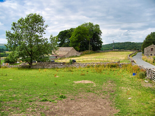
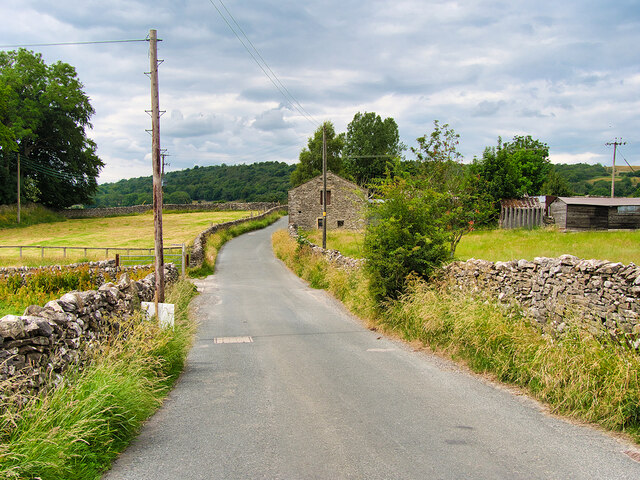
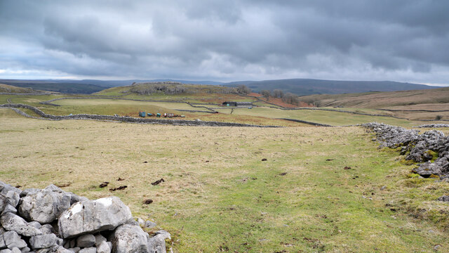
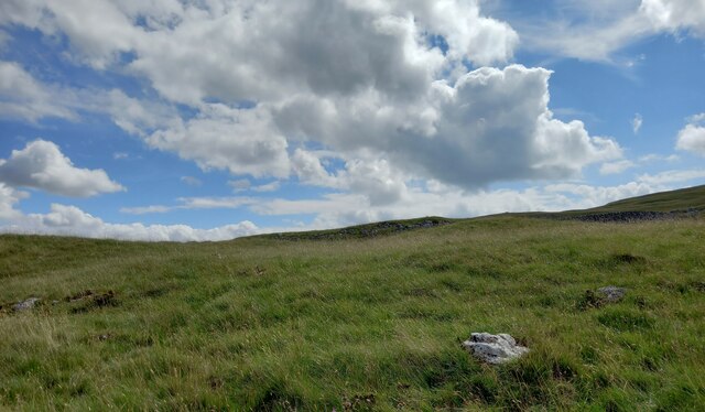
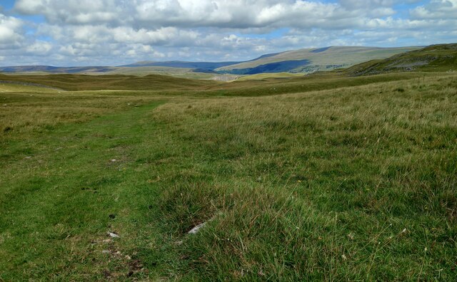
The village is renowned for its breathtaking landscapes, with rolling hills, lush green meadows, and meandering rivers. It is a paradise for outdoor enthusiasts, offering a plethora of activities such as hiking, cycling, fishing, and horse riding. The nearby Yorkshire Dales provides ample opportunities for exploring the stunning scenery, with its iconic limestone formations, picturesque valleys, and charming villages.
Long Ashes itself boasts a range of amenities to ensure a comfortable stay for visitors. The village is home to a variety of accommodation options, including cozy cottages, charming bed and breakfasts, and luxury lodges. There is also a well-equipped leisure complex that includes a swimming pool, fitness center, and spa facilities, providing relaxation and rejuvenation after a day of exploring.
For those looking to experience local culture and history, Long Ashes is within easy reach of several notable attractions. The historic market town of Skipton, with its medieval castle and bustling market, is just a short drive away. Additionally, the village is surrounded by quaint villages and towns, each offering their own unique charm and character.
In conclusion, Long Ashes is a captivating destination that showcases the natural beauty and charm of Yorkshire. With its breathtaking landscapes, range of activities, and proximity to cultural attractions, it is an ideal getaway for nature lovers and those seeking a peaceful retreat.
If you have any feedback on the listing, please let us know in the comments section below.
Long Ashes Images
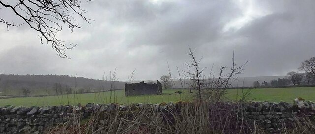
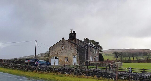
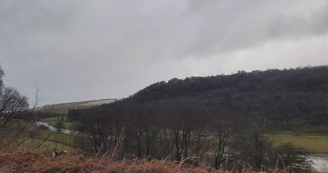
Images are sourced within 2km of 54.079055/-2.0328102 or Grid Reference SD9764. Thanks to Geograph Open Source API. All images are credited.
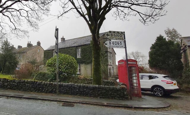
![Grassington features [4] The River Wharfe, looking upstream from Grassington Bridge which carries Station Road, B6265.
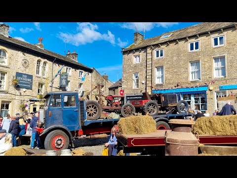
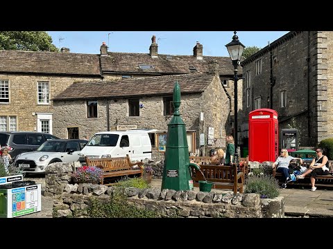
Grassington is a small market town, receiving its charter in 1282. The town is located in Wharfedale in the Yorkshire Dales National Park, some 7½ miles north of Skipton. Lead mining brought prosperity to the town in the 18th and 19th centuries. The town now attracts many tourists, especially walkers, with some excellent routes on the surrounding fells.](https://s0.geograph.org.uk/geophotos/07/03/85/7038560_a39b39a7.jpg)

Long Ashes is located at Grid Ref: SD9764 (Lat: 54.079055, Lng: -2.0328102)
Division: West Riding
Administrative County: North Yorkshire
District: Craven
Police Authority: North Yorkshire
What 3 Words
///puddings.enough.outline. Near Grassington, North Yorkshire
Nearby Locations
Related Wikis
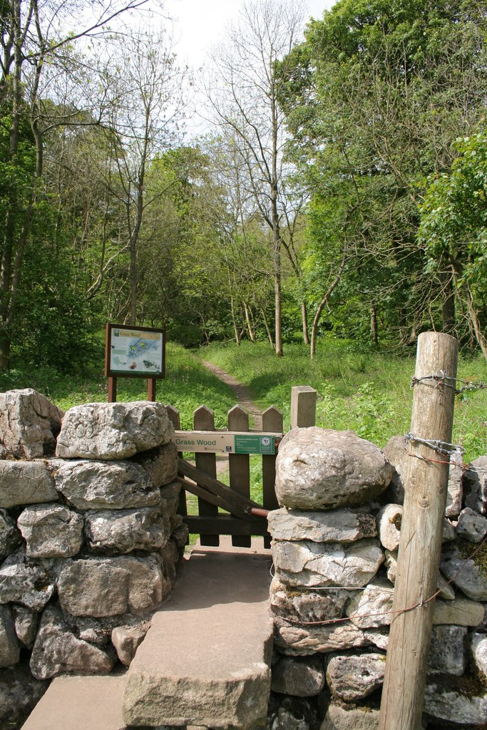
Grass Wood, Wharfedale
Grass Wood is an ancient woodland of 88 hectares (220 acres) in Wharfedale, North Yorkshire, England, that has an exceptional ground flora of woodland...

Threshfield
Threshfield is a small village and civil parish in the Craven district of North Yorkshire, England with a population of 980 residents, reducing to 968...
Upper Wharfedale School
Upper Wharfedale School is a coeducational secondary school located in Threshfield, North Yorkshire, England. The school is named after Wharfedale, one...
Grassington & Threshfield railway station
Grassington & Threshfield railway station (or Threshfield station) was a railway station that served the town of Grassington and village of Threshfield...
Related Videos

Grassington, Walking tour, Full Village and Linton Falls, 4K, #asmr
Embark on an enchanting journey through Grassington, nestled in the picturesque Yorkshire Dales. Explore the charm and beauty ...
Yorkshire Dales Grassington Walking Tour (4K)
Strolling around Grassington in Yorkshire Dales. A traditional beautiful village #yorkshire #yorkshiredales #uk #grassington ...
Grassington in Yorkshire Dales Walking Tour | Most Beautiful Village in England
Grassington is a small town in Wharfedale, north of Skipton in the Yorkshire Dales National Park of northern England. A pretty ...

Grassington - Hebden - Linton Falls Circular Route | Beautiful Yorkshire Dales National Park Walk
In this Yorkshire walking guide we will show you step-by-step how to complete a circular route starting in Grassington in the ...
Nearby Amenities
Located within 500m of 54.079055,-2.0328102Have you been to Long Ashes?
Leave your review of Long Ashes below (or comments, questions and feedback).