Long Ashes
Wood, Forest in Yorkshire Craven
England
Long Ashes
![Grassington features [4] The River Wharfe, looking upstream from Grassington Bridge which carries Station Road, B6265.
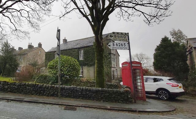
Grassington is a small market town, receiving its charter in 1282. The town is located in Wharfedale in the Yorkshire Dales National Park, some 7½ miles north of Skipton. Lead mining brought prosperity to the town in the 18th and 19th centuries. The town now attracts many tourists, especially walkers, with some excellent routes on the surrounding fells.](https://s0.geograph.org.uk/geophotos/07/03/85/7038560_a39b39a7.jpg)
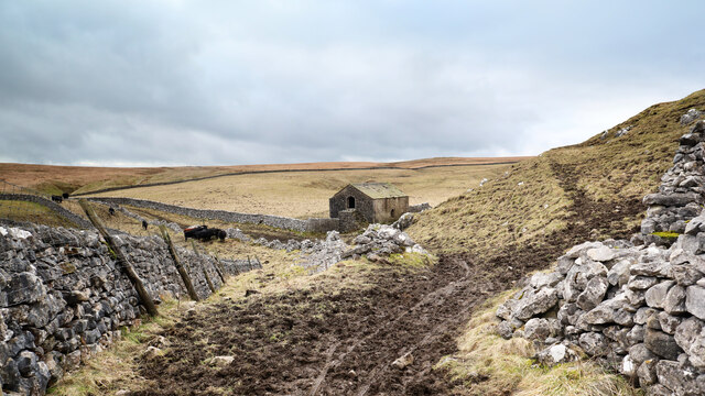
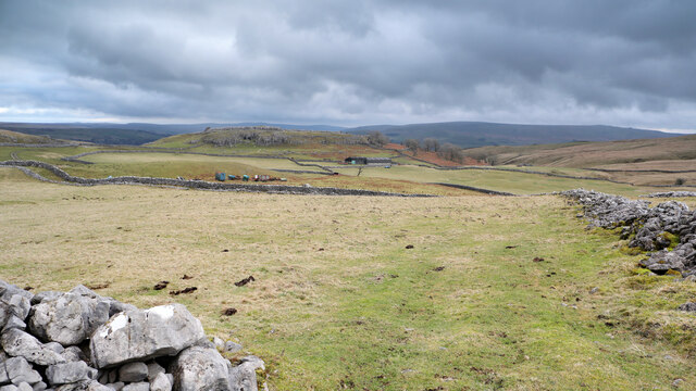
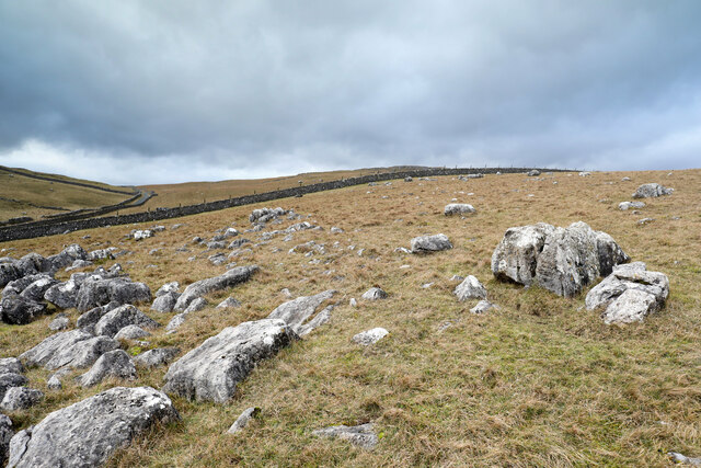
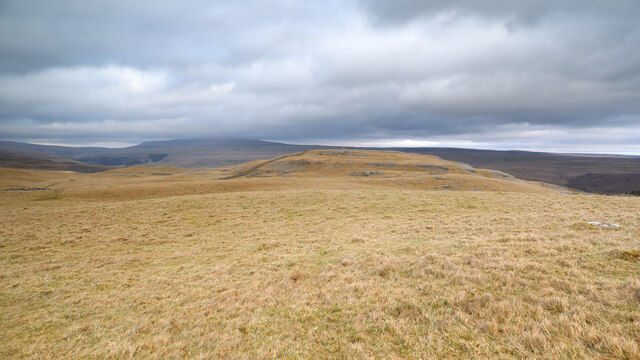
Long Ashes is a picturesque village located in Yorkshire, England. Situated amidst a lush wood and forest area, it offers a serene and tranquil environment for residents and visitors alike. The village is known for its breathtaking natural beauty, with towering ash trees lining the streets and providing a calming shade during the warm summer months.
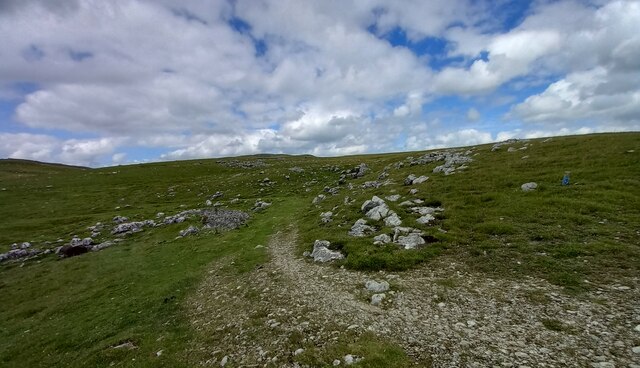
The wood and forest surrounding Long Ashes offer ample opportunities for outdoor activities. Hiking trails wind through the dense foliage, allowing nature enthusiasts to explore the area and immerse themselves in its stunning surroundings. The diverse wildlife inhabiting the wood and forest further enhances the experience, with sightings of deer, squirrels, and a variety of bird species being common.
Long Ashes is also home to a close-knit community that takes pride in preserving its natural heritage. The village boasts charming cottages and houses, many of which have been standing for centuries, adding to the area's unique historical character.
In addition to its natural beauty, Long Ashes offers a range of amenities to cater to the needs of residents and visitors. These include quaint local shops, cozy cafes, and traditional pubs, where one can relax and enjoy the warm hospitality of the villagers.
Whether it is for a leisurely stroll through the wood, a family picnic amidst nature, or simply to escape the hustle and bustle of city life, Long Ashes in Yorkshire promises a rejuvenating experience in the lap of nature.
If you have any feedback on the listing, please let us know in the comments section below.
Long Ashes Images
Images are sourced within 2km of 54.076124/-2.0355741 or Grid Reference SD9764. Thanks to Geograph Open Source API. All images are credited.

Long Ashes is located at Grid Ref: SD9764 (Lat: 54.076124, Lng: -2.0355741)
Division: West Riding
Administrative County: North Yorkshire
District: Craven
Police Authority: North Yorkshire
What 3 Words
///polices.fellow.thinker. Near Grassington, North Yorkshire
Nearby Locations
Related Wikis

Threshfield
Threshfield is a small village and civil parish in the Craven district of North Yorkshire, England with a population of 980 residents, reducing to 968...
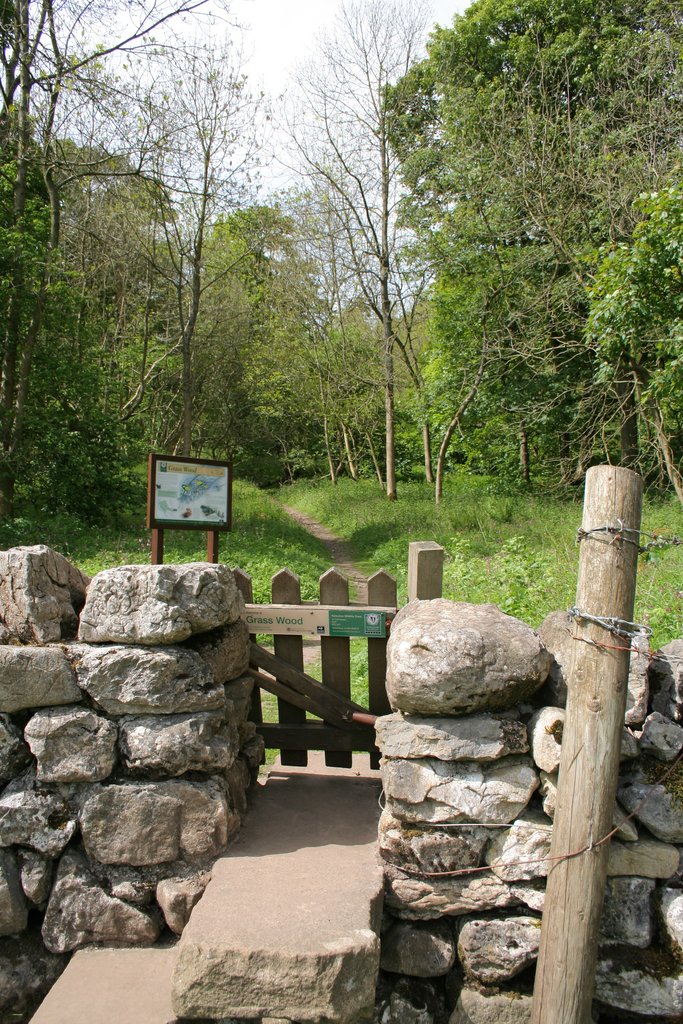
Grass Wood, Wharfedale
Grass Wood is an ancient woodland of 88 hectares (220 acres) in Wharfedale, North Yorkshire, England, that has an exceptional ground flora of woodland...
Upper Wharfedale School
Upper Wharfedale School is a coeducational secondary school located in Threshfield, North Yorkshire, England. The school is named after Wharfedale, one...
Grassington & Threshfield railway station
Grassington & Threshfield railway station (or Threshfield station) was a railway station that served the town of Grassington and village of Threshfield...

Linton Falls Hydro
Linton Falls Hydro is a hydroelectric generating power station located on the Linton Falls Weir of the River Wharfe, near Grassington, North Yorkshire...

Grassington
Grassington is a village and civil parish in North Yorkshire, England. The population of the parish at the 2011 Census was 1,126. Historically part of...

Linton, North Yorkshire
Linton is a village and civil parish in the Craven district of North Yorkshire, England. The population as of the 2011 census was 176. It lies not far...

Swinden Quarry
Swinden Quarry is 0.62 miles (1 km) north of the village of Cracoe, and 1.9 miles (3 km) south-west of Grassington in North Yorkshire, England. It is owned...
Nearby Amenities
Located within 500m of 54.076124,-2.0355741Have you been to Long Ashes?
Leave your review of Long Ashes below (or comments, questions and feedback).