Bannister Wood

Wood, Forest in Yorkshire Craven

England

Bannister Wood

Footbridge over Surgill Beck A footpath crosses the tributary, just before its waters empty into Lothersdale Beck.
Footbridge over Surgill Beck Credit: Chris Heaton

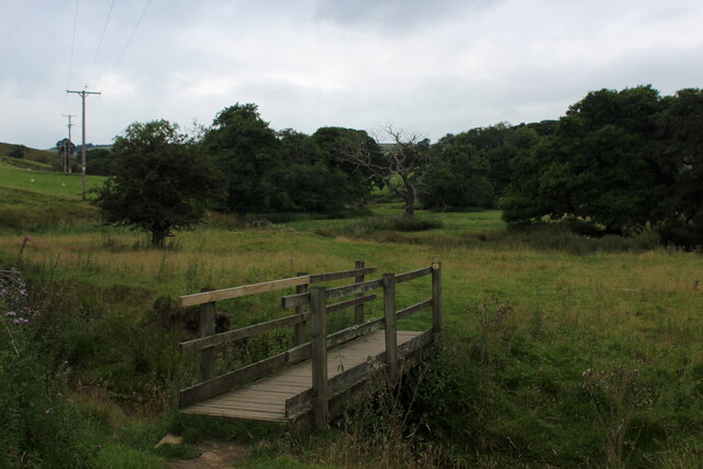
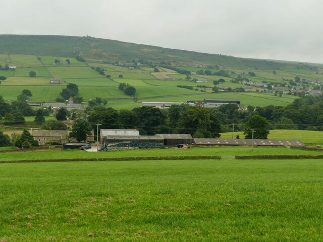
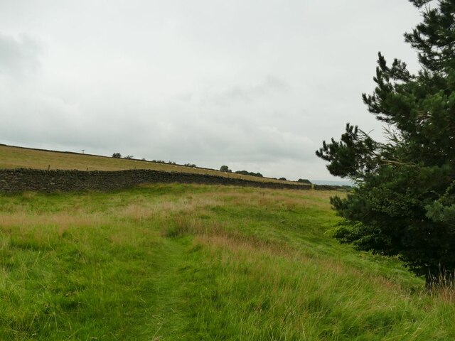
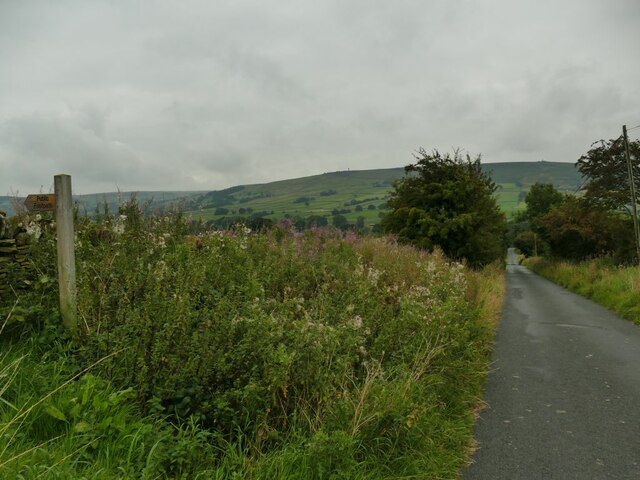
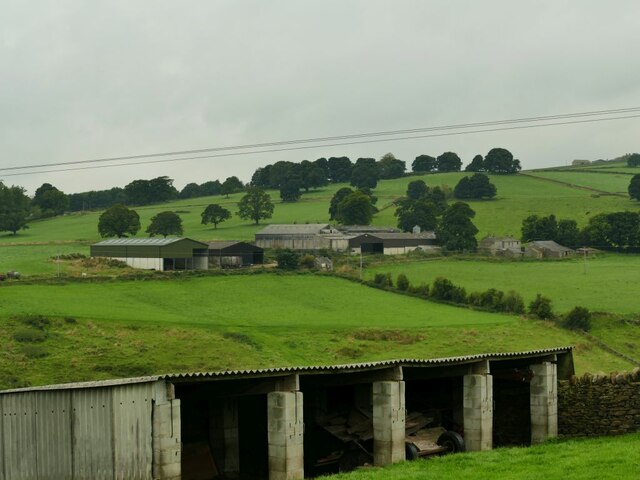
Bannister Wood is a picturesque woodland located in the county of Yorkshire, England. Situated in the heart of the countryside, this enchanting forest covers an area of approximately 100 acres and is renowned for its natural beauty and diverse wildlife.

The wood is predominantly made up of broadleaf trees, including oak, birch, and beech, which provide a dense canopy, casting dappled sunlight onto the woodland floor. The ground is adorned with an array of wildflowers, such as bluebells and primroses, creating a vibrant and colorful display during the spring months.

Bannister Wood boasts a network of well-maintained footpaths that meander through the forest, allowing visitors to explore its hidden treasures. Along these paths, one can stumble upon charming streams, small waterfalls, and tranquil ponds, adding to the serenity of the surroundings.

The woodland is home to a rich variety of wildlife. Bird enthusiasts will delight in spotting species such as woodpeckers, owls, and thrushes, while small mammals like squirrels and rabbits can often be seen darting among the trees. Lucky visitors may even catch a glimpse of more elusive creatures, such as deer and badgers, which inhabit the deeper parts of the wood.

Bannister Wood is a popular destination for nature lovers, walkers, and families seeking a peaceful retreat from the hustle and bustle of everyday life. The tranquility and natural beauty of this forest make it a haven for those looking to immerse themselves in the wonders of the natural world.

If you have any feedback on the listing, please let us know in the comments section below.

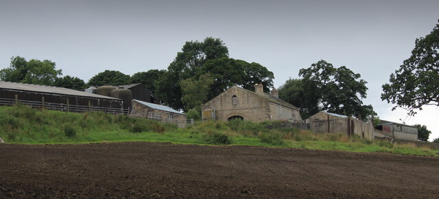
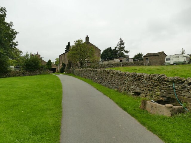
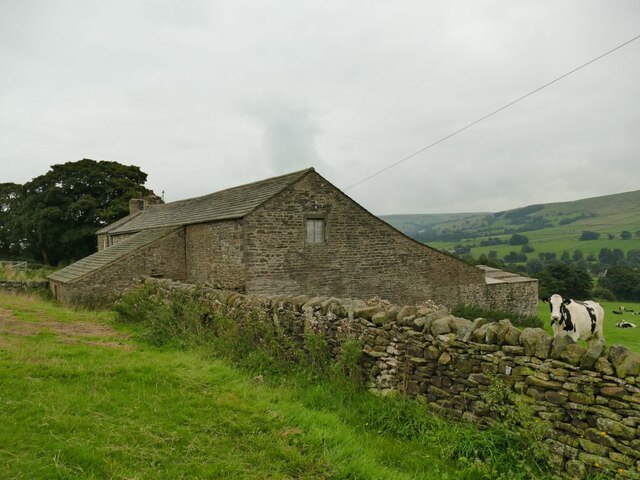
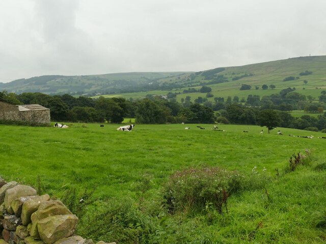
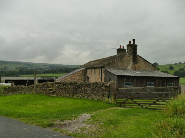
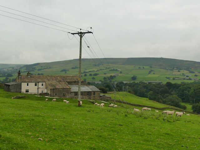
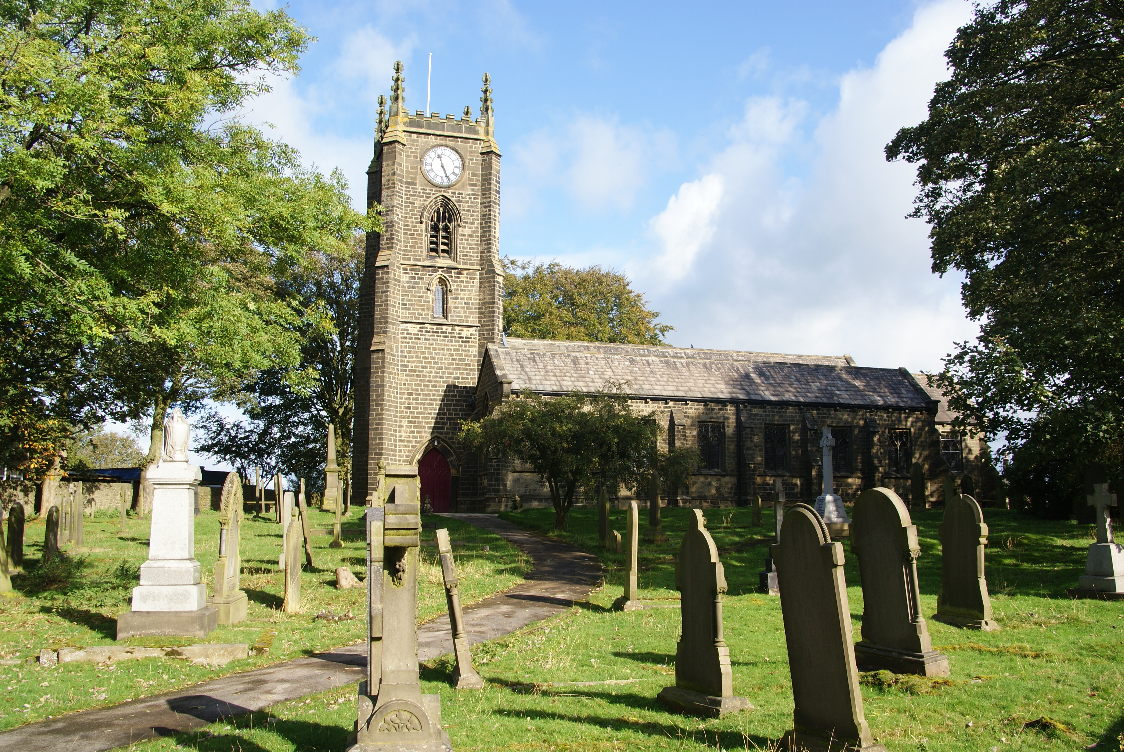
Bannister Wood Images

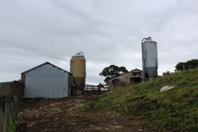
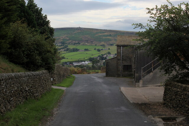
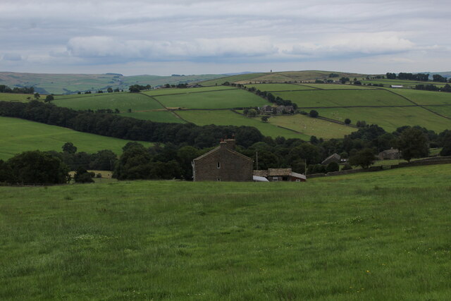
Images are sourced within 2km of 53.89354/-2.0353721 or Grid Reference SD9744. Thanks to Geograph Open Source API. All images are credited.

Footbridge over Surgill Beck A footpath crosses the tributary, just before its waters empty into Lothersdale Beck.
Footbridge over Surgill Beck
A footpath crosses the tributary, just before its waters empty into Lothersdale Beck.
Mire Close A collection of farm outbuildings on Grandage Lane
Mire Close
A collection of farm outbuildings on Grandage Lane
Cowling Hill Lane Lane descending towards Glusburn - with long views towards Wainman's Pinnacle and Earl Crag.
Cowling Hill Lane
Lane descending towards Glusburn - with long views towards Wainman's Pinnacle and Earl Crag.
Low Laithe from the Pennine Way View from Grandage Lane, which at this point has been adopted by the Pennine Way National Trail.
It looks north east over Low Laithe.
Low Laithe from the Pennine Way
View from Grandage Lane, which at this point has been adopted by the Pennine Way National Trail. It looks north east over Low Laithe.
Over House
Over House
View from Binns Lane Looking across the valley to the ridge with two monuments either end, Lund's Tower or the 'pepperpot' at left <a href="https://www.geograph.org.uk/photo/1747397">SD9943 : Lund's Tower</a>, and Wainman's Pinnacle or the 'saltpot' at right <a href="https://www.geograph.org.uk/photo/4932502">SD9842 : Wainman's Pinnacle near Cowling</a>.
View from Binns Lane
Looking across the valley to the ridge with two monuments either end, Lund's Tower or the 'pepperpot' at left SD9943 : Lund's Tower, and Wainman's Pinnacle or the 'saltpot' at right SD9842 : Wainman's Pinnacle near Cowling.
Mown field at Green House Farm
Buildings at Scott House Farm
Binns Lane, looking east The lane is a private road serving five farms, and has a surprisingly good tarmac surface for a route of this nature.  It's also a public footpath. This is taken at the bottom of the drive to West Closes Farm.
Binns Lane, looking east
The lane is a private road serving five farms, and has a surprisingly good tarmac surface for a route of this nature. It's also a public footpath. This is taken at the bottom of the drive to West Closes Farm.
Approaching West Closes Farm The lane is a private road serving five farms, of which this is the last.  It's also a public footpath. The main farmhouse is grade II listed but not seen in this view, and was the home of a well known 19th century organ builder, John Laycock (source: <span class="nowrap"><a title="http://www.farnhill.co.uk/History_Docs/Kildwick%20Organ%20grave%20-%20issue%203.pdf" rel="nofollow ugc noopener" href="http://www.farnhill.co.uk/History_Docs/Kildwick%20Organ%20grave%20-%20issue%203.pdf">Link</a><img style="margin-left:2px;" alt="External link" title="External link - shift click to open in new window" src="https://s1.geograph.org.uk/img/external.png" width="10" height="10"/></span> ).
Approaching West Closes Farm
The lane is a private road serving five farms, of which this is the last. It's also a public footpath. The main farmhouse is grade II listed but not seen in this view, and was the home of a well known 19th century organ builder, John Laycock (source: LinkExternal link ).
Cook House Farm This is a view from behind the farm to the west.  The map shows the public footpath passing in front (south) of the property, but as I approached from the east, looking for a stile or gate, the owner and his dog came out and directed me round the back instead.

The farm was the birthplace of a well-known organ builder, John Laycock who later lived at nearby West Closes.(source: <span class="nowrap"><a title="http://www.farnhill.co.uk/History_Docs/Kildwick%20Organ%20grave%20-%20issue%203.pdf" rel="nofollow ugc noopener" href="http://www.farnhill.co.uk/History_Docs/Kildwick%20Organ%20grave%20-%20issue%203.pdf">Link</a><img style="margin-left:2px;" alt="External link" title="External link - shift click to open in new window" src="https://s1.geograph.org.uk/img/external.png" width="10" height="10"/></span> )
Cook House Farm
This is a view from behind the farm to the west. The map shows the public footpath passing in front (south) of the property, but as I approached from the east, looking for a stile or gate, the owner and his dog came out and directed me round the back instead. The farm was the birthplace of a well-known organ builder, John Laycock who later lived at nearby West Closes.(source: LinkExternal link )
Cows at Birks Farm The field is the one immediately below Cook House <a href="https://www.geograph.org.uk/photo/6954338">SD9844 : Cook House Farm</a> but I get the impression that the latter is no longer a working farm, and the cattle probably belong to Birks Farm lower down the hill.
Cows at Birks Farm
The field is the one immediately below Cook House SD9844 : Cook House Farm but I get the impression that the latter is no longer a working farm, and the cattle probably belong to Birks Farm lower down the hill.
Birks Farm A cattle farm, also the home of the "Woolly Jumper Craft Company".
Birks Farm
A cattle farm, also the home of the "Woolly Jumper Craft Company".
Top of the field above West Closes Farm The footpath dodges round the top of a conifer plantation and briefly enters this grid square in doing so.
Top of the field above West Closes Farm
The footpath dodges round the top of a conifer plantation and briefly enters this grid square in doing so.
Leys Lane Looking downhill towards Birks Bridge, with to the left the start of a public footpath to Cross Hills.
Leys Lane
Looking downhill towards Birks Bridge, with to the left the start of a public footpath to Cross Hills.
Far Carr Head Farm Viewed from the gate to Near Leys Farm, to which the outbuildings in the foreground belong.
Far Carr Head Farm
Viewed from the gate to Near Leys Farm, to which the outbuildings in the foreground belong.
Near Leys Farm The farm is on Leys Lane between Glusburn and Lothersdale.
Near Leys Farm
The farm is on Leys Lane between Glusburn and Lothersdale.
Sheep at Near Leys Farm
Show me another place!

Bannister Wood is located at Grid Ref: SD9744 (Lat: 53.89354, Lng: -2.0353721)

Division: West Riding

Administrative County: North Yorkshire

District: Craven

Police Authority: North Yorkshire

What 3 Words

///points.newlywed.blackouts. Near Glusburn, North Yorkshire

Nearby Locations

Low Wood Bannister Wood

Related Wikis

Malsis School

Malsis School located at a mansion known as Malsis Hall in the village of Crosshills, in North Yorkshire, England, was a co-educational independent pre...

Cowling, Craven

Cowling is a village, electoral division and civil parish in the Craven district of North Yorkshire, England. It is situated on the borders with the adjacent...

Middleton, Cowling

Middleton is a hamlet in the Craven district of North Yorkshire, England, part of the civil parish of Cowling. It is near the border with West Yorkshire...

Wainman's Pinnacle

Wainman's Pinnacle, originally built as a folly (and still used as a folly), is a stone obelisk in Sutton-in-Craven, North Yorkshire. It tends to be referred...
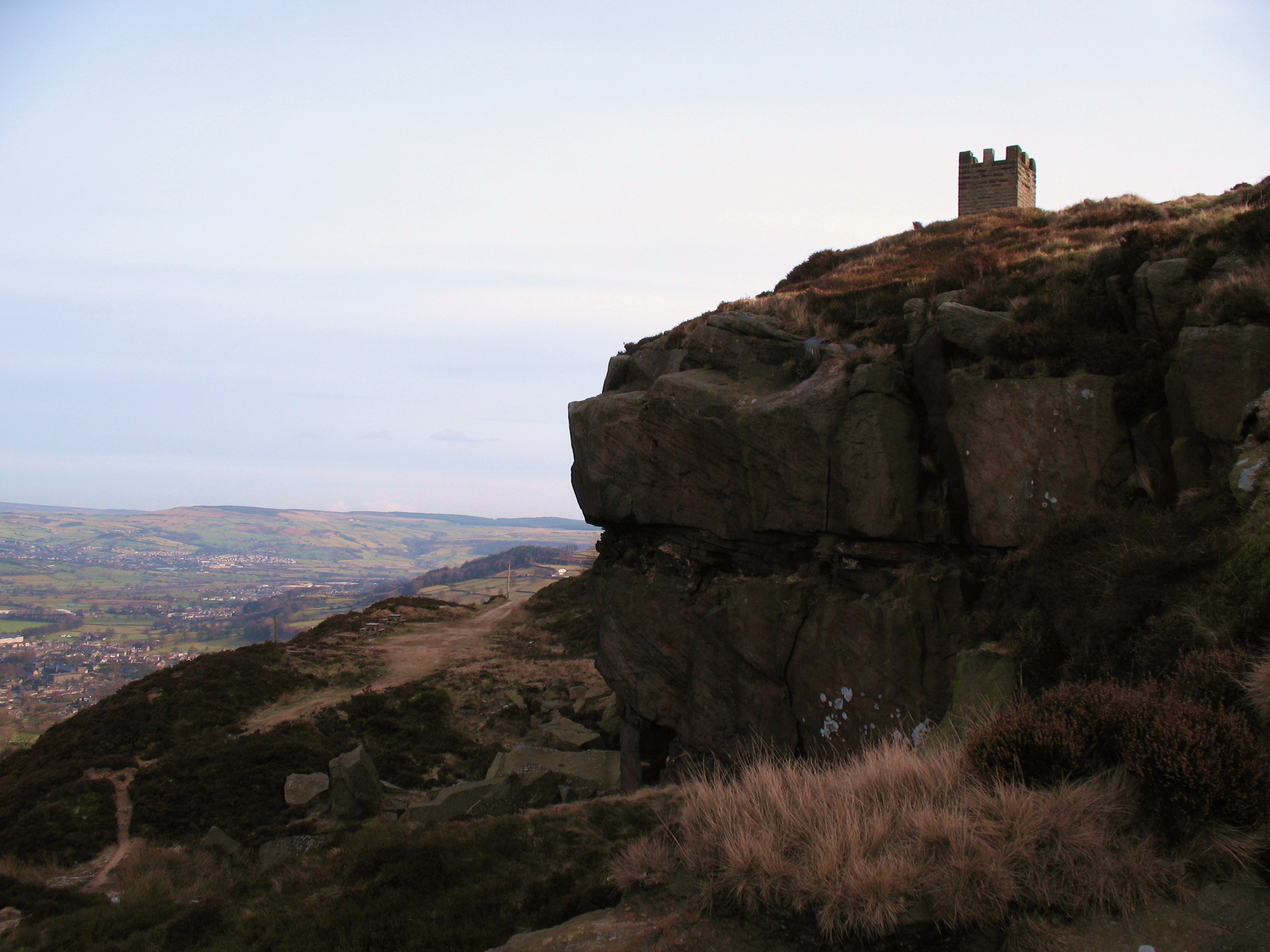
Earl Crag

Earl Crag is a gritstone crag and climbing area in Craven, North Yorkshire, England. It is home to Lund's Tower, Wainman's Pinnacle, and The Hitching...
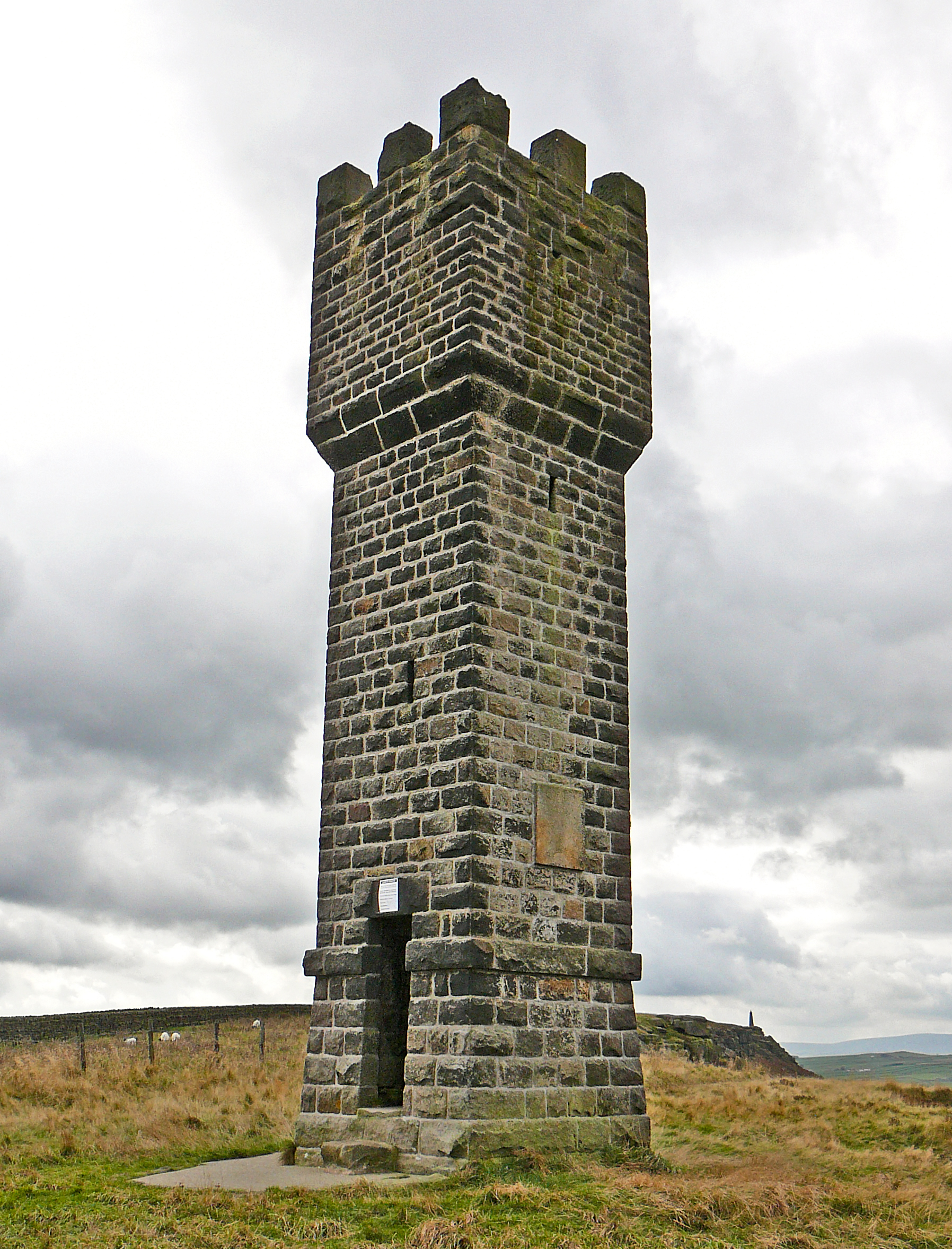
Lund's Tower

Lund's Tower is a stone-built folly situated to the south-west of the North Yorkshire village of Sutton-in-Craven. It is also known as Cowling Pinnacle...

Stone Gappe

Stone Gappe is an 18th-century house in Lothersdale, North Yorkshire, England; it is a Grade II* listed building. == Construction == The house was constructed...

Glusburn

Glusburn is a village and electoral ward in Craven in North Yorkshire, England. Historically part of the West Riding of Yorkshire, the village is situated...

Nearby Amenities

Located within 500m of 53.89354,-2.0353721
Place: farm
Lat/Long: 53.8938344/-2.02952
Lane Ends Bridge
Place: locality
Source: NLS 1st series
Lat/Long: 53.895291/-2.0293184
Telephone
Booth: KX100
Covered: booth
Lat/Long: 53.8899537/-2.0333324
Barrier: stile
Lat/Long: 53.8902772/-2.0365338
Barrier: stile
Lat/Long: 53.892546/-2.0325219
Bus Stop
The Old Saw Mill
Public Transport: platform
Lat/Long: 53.8906575/-2.031941
Bus Stop
The Old Saw Mill
Naptan AtcoCode: 3200YNF10298
Naptan NaptanCode: 32010298
Public Transport: platform
Lat/Long: 53.8903433/-2.0323534
Public Footpath
Information: guidepost
Tourism: information
Lat/Long: 53.8951129/-2.030706
Bench
Backrest: yes
Lat/Long: 53.8914208/-2.0400884
Bench
Backrest: yes
Lat/Long: 53.8914405/-2.0405139
The data included in this document is from www.openstreetmap.org. The data is made available under ODbL.

Have you been to Bannister Wood?

Leave your review of Bannister Wood below (or comments, questions and feedback).