Gannow Green

Wood, Forest in Worcestershire Bromsgrove

England

Gannow Green

The M5 skirts a hillock Seen from the lane that leads to Chadwich Grange.
The M5 skirts a hillock Credit: Adrian Bailey

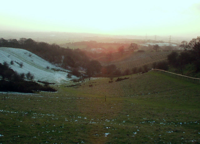
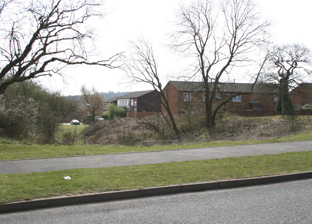
Gannow Green is a small village located in Worcestershire, England. Situated in the county's lush woodlands, it is known for its scenic beauty and tranquil atmosphere. The village is part of the wider Gannow Green area, which is surrounded by dense forests and abundant greenery.

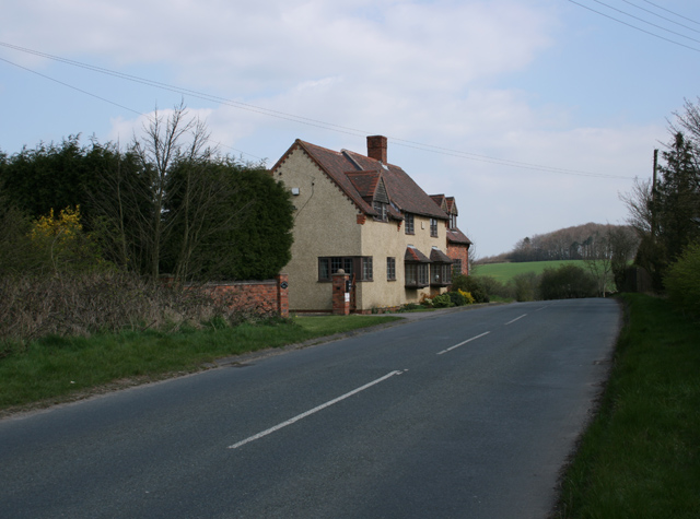
The village itself is characterized by its traditional architecture, with charming cottages and period homes dotting the landscape. Its close-knit community is known for its friendliness and welcoming nature, making it a popular destination for those seeking a peaceful retreat.

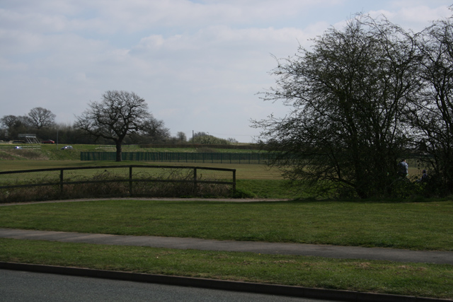
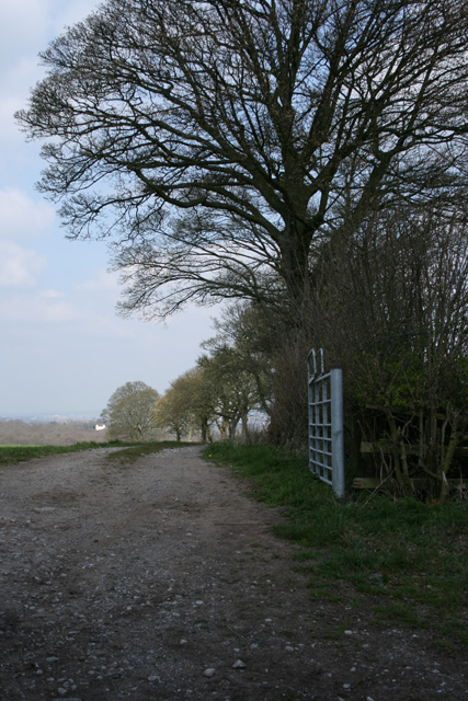
Nature enthusiasts are drawn to Gannow Green for its proximity to the nearby forests, which offer a variety of walking trails and opportunities for outdoor activities. The woodlands are home to a diverse range of flora and fauna, creating a haven for wildlife enthusiasts and birdwatchers.

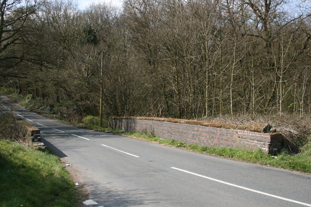
Despite its rural location, Gannow Green benefits from good transport links, with the nearby town of Kidderminster providing access to major road networks. This allows residents to enjoy the tranquility of village life while still having convenient connections to urban amenities.

Overall, Gannow Green offers a picturesque and idyllic setting for those seeking to escape the hustle and bustle of city life. Its natural beauty, combined with its welcoming community, make it a desirable place to live or visit for those in search of a peaceful and serene environment.

If you have any feedback on the listing, please let us know in the comments section below.
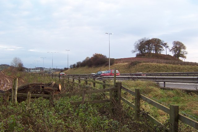
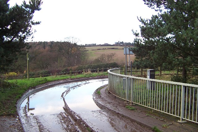
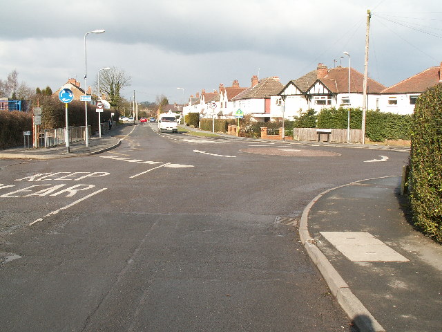
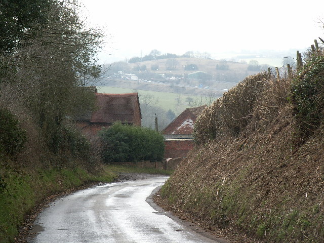
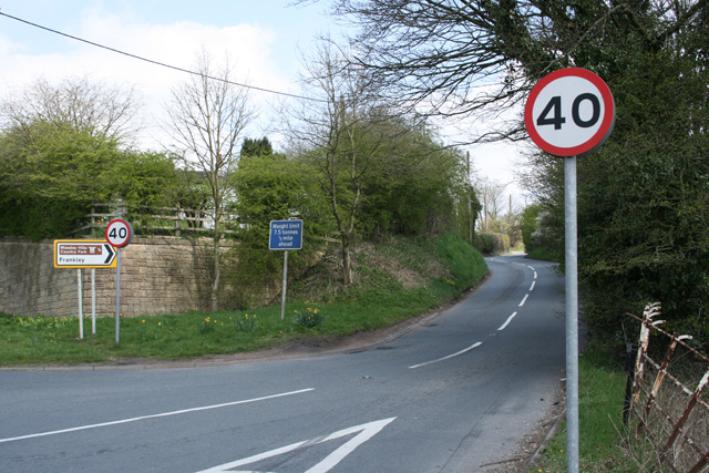
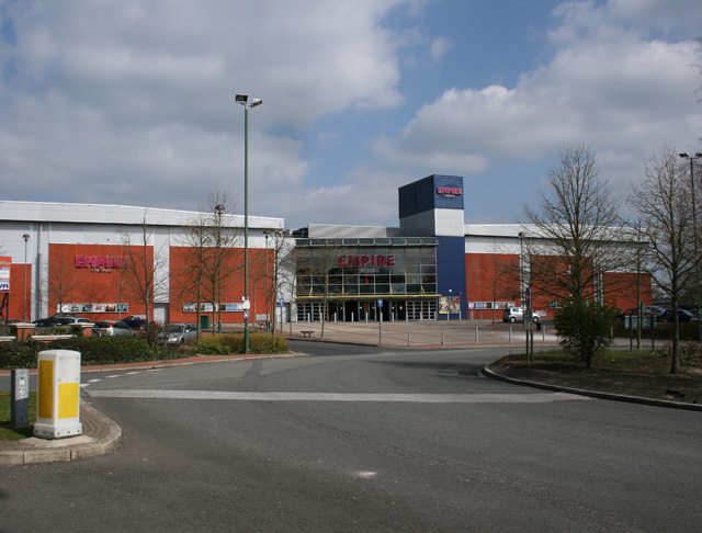
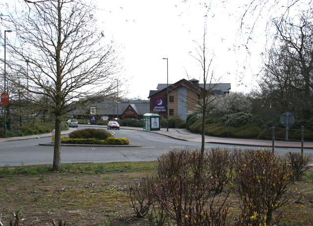
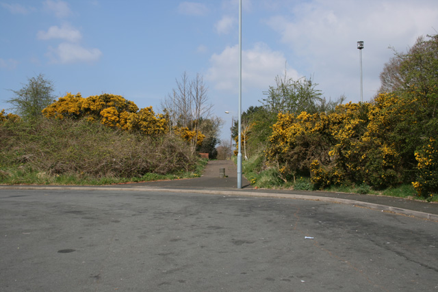
Gannow Green Images

Images are sourced within 2km of 52.402436/-2.0340117 or Grid Reference SO9778. Thanks to Geograph Open Source API. All images are credited.

The M5 skirts a hillock Seen from the lane that leads to Chadwich Grange.
The M5 skirts a hillock
Seen from the lane that leads to Chadwich Grange.
From Chapman's Hill The view towards Romsley Hill from the farm bridge over the M5.
From Chapman's Hill
The view towards Romsley Hill from the farm bridge over the M5.
Road junction , Rubery The junction of School Road, Gannow Road and Gunner Lane in the south west corner of the square, looking north east. Waseley Hills High School and Holywell Junior School are just to the left of the picture.
Road junction , Rubery
The junction of School Road, Gannow Road and Gunner Lane in the south west corner of the square, looking north east. Waseley Hills High School and Holywell Junior School are just to the left of the picture.
Redhill Lane Looking south west towards Redhill Farm. The M5 motorway can be seen climbing up towards junction 4.
Redhill Lane
Looking south west towards Redhill Farm. The M5 motorway can be seen climbing up towards junction 4.
Water Tower, Romsley Hill Located on the south side of Farley Lane at the top of the hill.
Water Tower, Romsley Hill
Located on the south side of Farley Lane at the top of the hill.
View south west from Windmill Hill, Waseley Hills Country Park Looking down a small valley from the footpath below the summit of the hill, late on a winter afternoon
View south west from Windmill Hill, Waseley Hills Country Park
Looking down a small valley from the footpath below the summit of the hill, late on a winter afternoon
Life in the slow lane Monday morning rush hour on the M5 just past junction 4 heading north
Life in the slow lane
Monday morning rush hour on the M5 just past junction 4 heading north
Gateway to Parklands
Arden Business Park
Arden Business Park
Boleyn Road Common Land
Boleyn Road
Common Land
Frankley Hill Lane Frankley Beeches in the background
Frankley Hill Lane
Frankley Beeches in the background
Dismantled Railway Bridge Junction of Newtown Lane, Oxwood Lane and Yew Tree Lane
Dismantled Railway Bridge
Junction of Newtown Lane, Oxwood Lane and Yew Tree Lane
Farm Track Newtown Lane
Dayhouse Bank Turning for Frankley from B4551
Dayhouse Bank
Turning for Frankley from B4551
Empire Cinema, Rubery
Premier Travel Inn, Park Way, Rubery
Path adjoining Bus Stop, Arden Road Rubery
Edge of Housing Estate, Boleyn Road, Rubery
Show me another place!

Gannow Green is located at Grid Ref: SO9778 (Lat: 52.402436, Lng: -2.0340117)

Administrative County: Worcestershire

District: Bromsgrove

Police Authority: West Mercia

What 3 Words

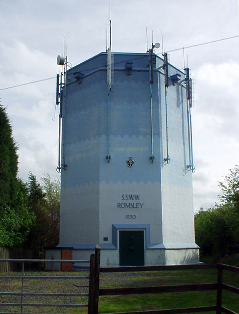
///piles.truck.sports. Near Romsley, Worcestershire

Related Wikis

Waseley Hills Country Park

Waseley Hills Country Park is 150 acres (0.61 km2) a Country Park and Local Nature Reserve owned and managed by Worcestershire County Council's Countryside...

New Frankley

New Frankley in Birmingham is a civil parish in Birmingham, England. As such, it has its own parish council. == History == It was established in 2000 in...

King Edward VI Balaam Wood Academy

King Edward VI Balaam Wood Academy is a coeducational secondary school located in the New Frankley area of Birmingham, West Midlands, England.The school...

Waseley Hills High School and Sixth Form Centre

Waseley Hills High School and Sixth Form Centre is a mixed secondary school and sixth form with academy status in the town of Rubery, on the border of...

Nearby Amenities

Located within 500m of 52.402436,-2.0340117
Post Box
Ref: B45 106
Lat/Long: 52.4006784/-2.0292092
Turning Circle
Lat/Long: 52.4027627/-2.0291761
Turning Circle
Lat/Long: 52.4028134/-2.031567
Bus Stop
Boleyn Rd / Ormond Rd
Bus: yes
Naptan AtcoCode: 43000392401
Naptan Bearing: SW
Naptan BusStopType: MKD
Naptan CommonName: Ormond Rd
Naptan Indicator: adj
Naptan NaptanCode: nwmawpwj
Naptan Status: ACT
Naptan StopType: BCT
Naptan Street: BOLEYN RD
Naptan Towards: Rubery
Public Transport: platform
Route Ref: 63;202
Source: WMCA
Lat/Long: 52.403894/-2.0279284
Bus Stop
Boleyn Rd / Ormond Rd
NaPTANAreaCode: 43000392402
Bus: yes
Naptan AtcoCode: 43000392402
Naptan Bearing: NE
Naptan BusStopType: MKD
Naptan CommonName: Ormond Rd
Naptan Indicator: opp
Naptan NaptanCode: nwmawpwm
Naptan Status: ACT
Naptan StopType: BCT
Naptan Street: BOLEYN RD
Naptan Towards: Frankley
Public Transport: platform
Route Ref: 63;202
Shelter: yes
Shelter Ref: 610202
Source: WMCA
Lat/Long: 52.4039569/-2.0280754
Bus Stop
Boleyn Rd / Gannow Manor Crescent
Bus: yes
Naptan AtcoCode: 43000392501
Naptan Bearing: SW
Naptan BusStopType: CUS
Naptan CommonName: Gannow Manor Crescent
Naptan Indicator: opp
Naptan NaptanCode: nwmawpwp
Naptan PlusbusZoneRef: BHAMNWS
Naptan Status: ACT
Naptan StopType: BCT
Naptan Street: BOLEYN RD
Naptan Towards: Rubery
Public Transport: platform
Route Ref: 63;202
Source: WMCA
Lat/Long: 52.4031782/-2.0294101
Bus Stop
Boleyn Rd / Gannow Manor Crescent
Bus: yes
Naptan AtcoCode: 43000392502
Naptan Bearing: NE
Naptan BusStopType: MKD
Naptan CommonName: Gannow Manor Crescent
Naptan Indicator: adj
Naptan NaptanCode: nwmawpwt
Naptan PlusbusZoneRef: BHAMNWS
Naptan Status: ACT
Naptan StopType: BCT
Naptan Street: BOLEYN RD
Naptan Towards: Frankley
Public Transport: platform
Route Ref: 63;202
Source: WMCA
Lat/Long: 52.4033093/-2.0293832
Bus Stop
Boleyn Rd / Crompton Rd
Bus: yes
Naptan AtcoCode: 43000392601
Naptan Bearing: NE
Naptan BusStopType: MKD
Naptan CommonName: Crompton Rd
Naptan Indicator: adj
Naptan NaptanCode: nwmawtad
Naptan PlusbusZoneRef: BHAMNWS
Naptan Status: ACT
Naptan StopType: BCT
Naptan Street: BOLEYN RD
Naptan Towards: Frankley
Naptan Verified: no
Public Transport: platform
Route Ref: 63;202
Source: WMCA
Lat/Long: 52.4025152/-2.0306788
Bus Stop
Boleyn Rd / Crompton Rd
Bus: yes
Naptan AtcoCode: 43000392603
Naptan Bearing: SW
Naptan BusStopType: MKD
Naptan CommonName: Crompton Rd
Naptan Indicator: after
Naptan NaptanCode: nwmawtaj
Naptan PlusbusZoneRef: BHAMNWS
Naptan Status: ACT
Naptan StopType: BCT
Naptan Street: BOLEYN RD
Naptan Towards: Rubery
Public Transport: platform
Route Ref: 63;202
Source: WMCA
Lat/Long: 52.4024388/-2.0306069
Crossing
Bicycle: yes
Crossing: traffic_signals
Crossing Ref: toucan
Lat/Long: 52.4014992/-2.0320506
Power: tower
Source: Bing
Lat/Long: 52.4016376/-2.0388541
Power: tower
Source: Bing
Lat/Long: 52.4042401/-2.0355845
Source of the River Rea
Natural: spring
Source: survey
Lat/Long: 52.4000961/-2.0400677
Barrier: kissing_gate
Source: survey
Lat/Long: 52.400144/-2.0401784
Fixme: continue?
Lat/Long: 52.4038637/-2.0318967
Generator Method: photovoltaic
Generator Output Electricity: yes
Generator Source: solar
Generator Type: solar_photovoltaic_panel
Location: roof
Power: generator
Lat/Long: 52.4013944/-2.029421
Generator Method: photovoltaic
Generator Output Electricity: yes
Generator Source: solar
Generator Type: solar_photovoltaic_panel
Location: roof
Power: generator
Lat/Long: 52.4010884/-2.0303209
Generator Method: photovoltaic
Generator Output Electricity: yes
Generator Source: solar
Generator Type: solar_photovoltaic_panel
Location: roof
Power: generator
Lat/Long: 52.4020499/-2.0320657
Generator Method: photovoltaic
Generator Output Electricity: yes
Generator Source: solar
Generator Type: solar_photovoltaic_panel
Location: roof
Power: generator
Lat/Long: 52.404628/-2.0296812
Generator Method: photovoltaic
Generator Output Electricity: yes
Generator Source: solar
Generator Type: solar_photovoltaic_panel
Location: roof
Power: generator
Lat/Long: 52.4045912/-2.0297174
Generator Method: photovoltaic
Generator Output Electricity: yes
Generator Source: solar
Generator Type: solar_photovoltaic_panel
Location: roof
Power: generator
Lat/Long: 52.4016072/-2.0272766
Generator Method: photovoltaic
Generator Output Electricity: yes
Generator Source: solar
Generator Type: solar_photovoltaic_panel
Location: roof
Power: generator
Lat/Long: 52.4007128/-2.0282382
Generator Method: photovoltaic
Generator Output Electricity: yes
Generator Source: solar
Generator Type: solar_photovoltaic_panel
Location: roof
Power: generator
Lat/Long: 52.4012398/-2.0289905
Generator Method: photovoltaic
Generator Output Electricity: yes
Generator Source: solar
Generator Type: solar_photovoltaic_panel
Location: roof
Power: generator
Lat/Long: 52.4014795/-2.0297389
Power: pole
Source: bing
Lat/Long: 52.4045708/-2.0366335
Power: pole
Source: bing
Lat/Long: 52.4028591/-2.0390233
Power: pole
Ref: 730221
Source: wpd_open_data
Transformer: distribution
Lat/Long: 52.4019787/-2.0408365
Power: pole
Source: bing
Lat/Long: 52.4024811/-2.0398173
Power: pole
Source: bing
Lat/Long: 52.4032764/-2.0382106
Power: pole
Source: bing
Lat/Long: 52.403962/-2.0373416
Power: pole
Source: bing
Lat/Long: 52.40659/-2.0352589
Power: pole
Ref: 730223
Source: wpd_open_data
Transformer: distribution
Lat/Long: 52.4061375/-2.0362245
Power: pole
Ref: 730225
Source: wpd_open_data
Transformer: distribution
Lat/Long: 52.4055951/-2.0373349
Power: pole
Source: bing
Lat/Long: 52.4052883/-2.0367917
Power: pole
Source: bing
Lat/Long: 52.404952/-2.0361936
Power: pole
Source: bing
Lat/Long: 52.4043449/-2.0351328
Power: pole
Ref: 730219
Source: wpd_open_data
Transformer: distribution
Lat/Long: 52.4038876/-2.0346513
Generator Method: photovoltaic
Generator Output Electricity: yes
Generator Source: solar
Generator Type: solar_photovoltaic_panel
Location: roof
Power: generator
Lat/Long: 52.4016874/-2.0303182
Generator Method: photovoltaic
Generator Output Electricity: yes
Generator Source: solar
Generator Type: solar_photovoltaic_panel
Location: roof
Power: generator
Lat/Long: 52.4017782/-2.0301399
Generator Method: photovoltaic
Generator Output Electricity: yes
Generator Source: solar
Generator Type: solar_photovoltaic_panel
Location: roof
Power: generator
Lat/Long: 52.401797/-2.0300406
Generator Method: photovoltaic
Generator Output Electricity: yes
Generator Source: solar
Generator Type: solar_photovoltaic_panel
Location: roof
Power: generator
Lat/Long: 52.4018011/-2.0298877
Generator Method: photovoltaic
Generator Output Electricity: yes
Generator Source: solar
Generator Type: solar_photovoltaic_panel
Location: roof
Power: generator
Lat/Long: 52.4015172/-2.0299937
Generator Method: photovoltaic
Generator Output Electricity: yes
Generator Source: solar
Generator Type: solar_photovoltaic_panel
Location: roof
Power: generator
Lat/Long: 52.4015164/-2.029869
Generator Method: photovoltaic
Generator Output Electricity: yes
Generator Source: solar
Generator Type: solar_photovoltaic_panel
Location: roof
Power: generator
Lat/Long: 52.4016653/-2.0288296
Generator Method: photovoltaic
Generator Output Electricity: yes
Generator Source: solar
Generator Type: solar_photovoltaic_panel
Location: roof
Power: generator
Lat/Long: 52.4016988/-2.0285493
Generator Method: photovoltaic
Generator Output Electricity: yes
Generator Source: solar
Generator Type: solar_photovoltaic_panel
Location: roof
Power: generator
Lat/Long: 52.4015777/-2.0277098
Generator Method: photovoltaic
Generator Output Electricity: yes
Generator Source: solar
Generator Type: solar_photovoltaic_panel
Location: roof
Power: generator
Lat/Long: 52.4015835/-2.0275676
Generator Method: photovoltaic
Generator Output Electricity: yes
Generator Source: solar
Generator Type: solar_photovoltaic_panel
Location: roof
Power: generator
Lat/Long: 52.4015884/-2.027451
Generator Method: photovoltaic
Generator Output Electricity: yes
Generator Source: solar
Generator Type: solar_photovoltaic_panel
Location: roof
Power: generator
Lat/Long: 52.4012995/-2.0274952
The data included in this document is from www.openstreetmap.org. The data is made available under ODbL.

Have you been to Gannow Green?

Leave your review of Gannow Green below (or comments, questions and feedback).