Llannon
Settlement in Cardiganshire
Wales
Llannon
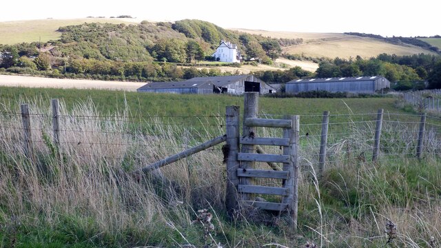
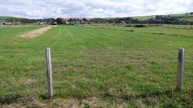
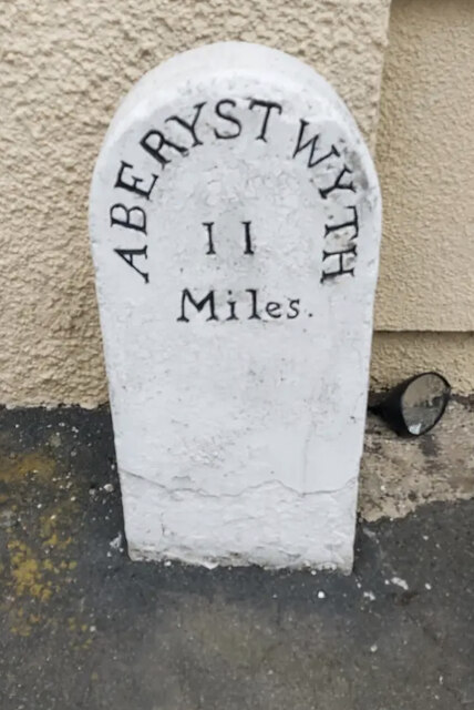
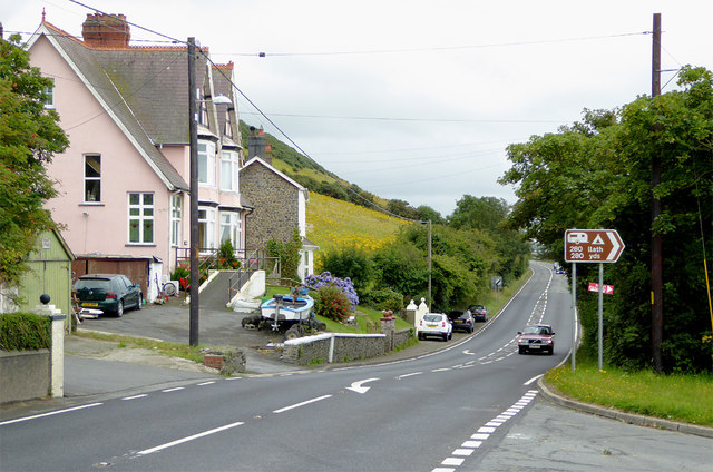
Llannon is a small rural village located in the county of Cardiganshire, Wales. Nestled in the beautiful countryside, it is surrounded by rolling hills, lush green fields, and picturesque landscapes. The village is situated approximately 10 miles southeast of the county town of Aberystwyth.
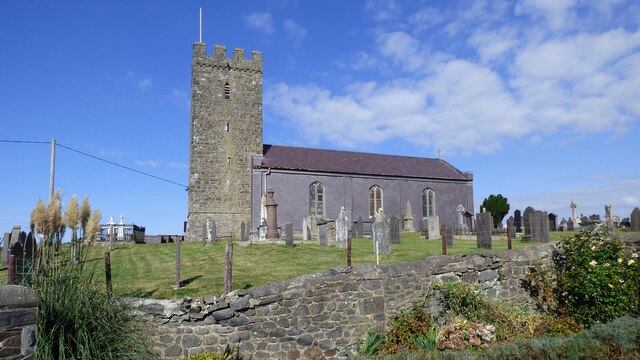
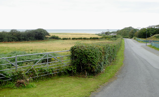
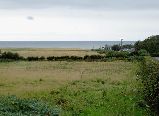
Llannon is renowned for its peaceful and tranquil atmosphere, making it an ideal retreat for those seeking a break from the hustle and bustle of city life. The village is characterized by charming traditional Welsh cottages, which add to its quaint and idyllic charm.
Despite its small size, Llannon offers a range of amenities for its residents and visitors. The village is home to a local pub, providing a warm and welcoming atmosphere for socializing and enjoying traditional Welsh hospitality. Additionally, Llannon boasts a small but well-stocked convenience store, ensuring that locals have easy access to essential groceries and supplies.
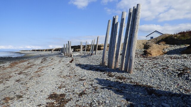
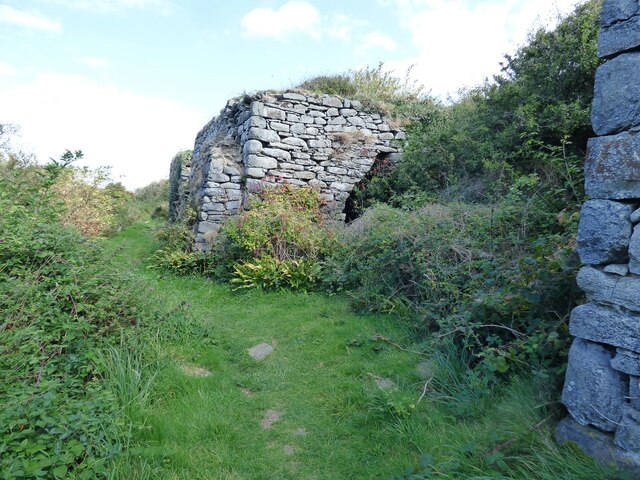
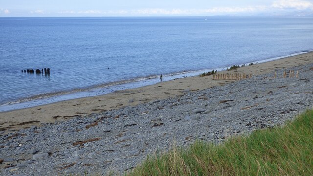
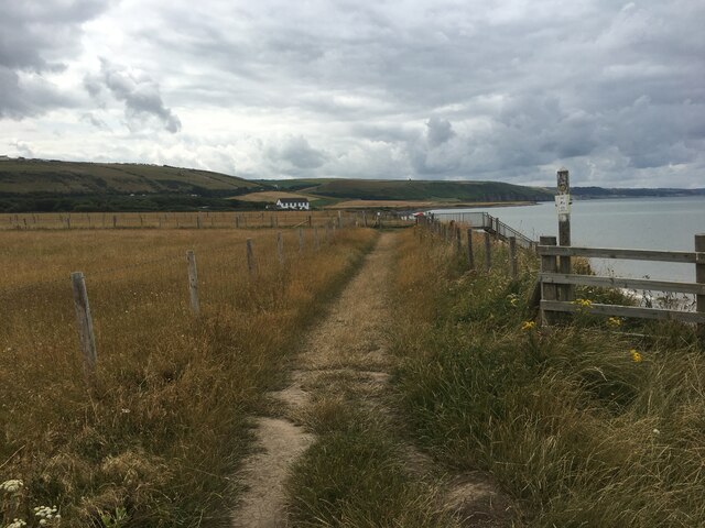
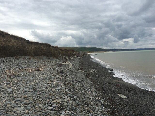
The surrounding countryside offers a wealth of outdoor activities for nature enthusiasts. Visitors can explore the nearby nature reserves and walking trails, providing opportunities for hiking, bird-watching, and enjoying the stunning scenery. Llannon is also in close proximity to the stunning Welsh coastline, with several beautiful beaches just a short drive away.
Overall, Llannon is a charming village that combines natural beauty with a close-knit community. Whether it's enjoying the tranquility of the countryside or exploring the nearby coastal areas, Llannon offers a peaceful and scenic escape for residents and visitors alike.
If you have any feedback on the listing, please let us know in the comments section below.
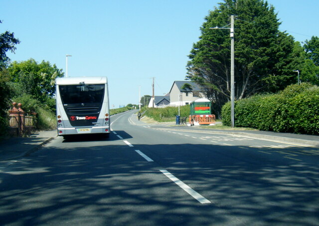
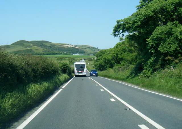
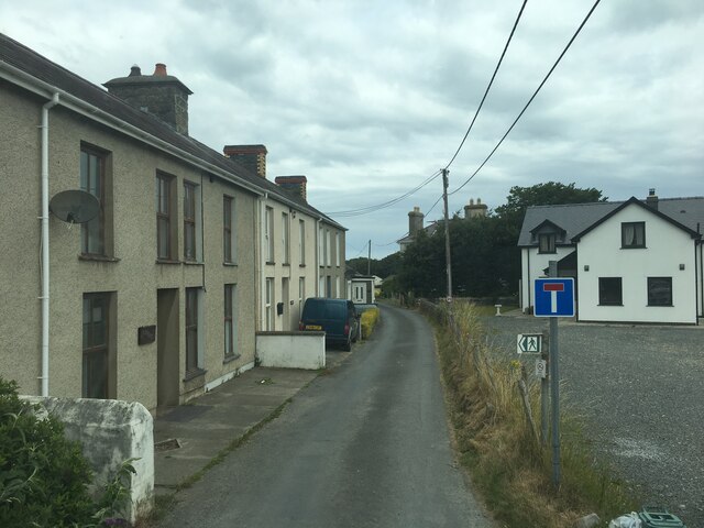
Llannon Images
Images are sourced within 2km of 52.282302/-4.1768421 or Grid Reference SN5167. Thanks to Geograph Open Source API. All images are credited.
Llannon is located at Grid Ref: SN5167 (Lat: 52.282302, Lng: -4.1768421)
Unitary Authority: Ceredigion
Police Authority: Dyfed Powys
Also known as: Llanon
What 3 Words
///walked.chuck.hike. Near Llanon, Ceredigion
Nearby Locations
Related Wikis
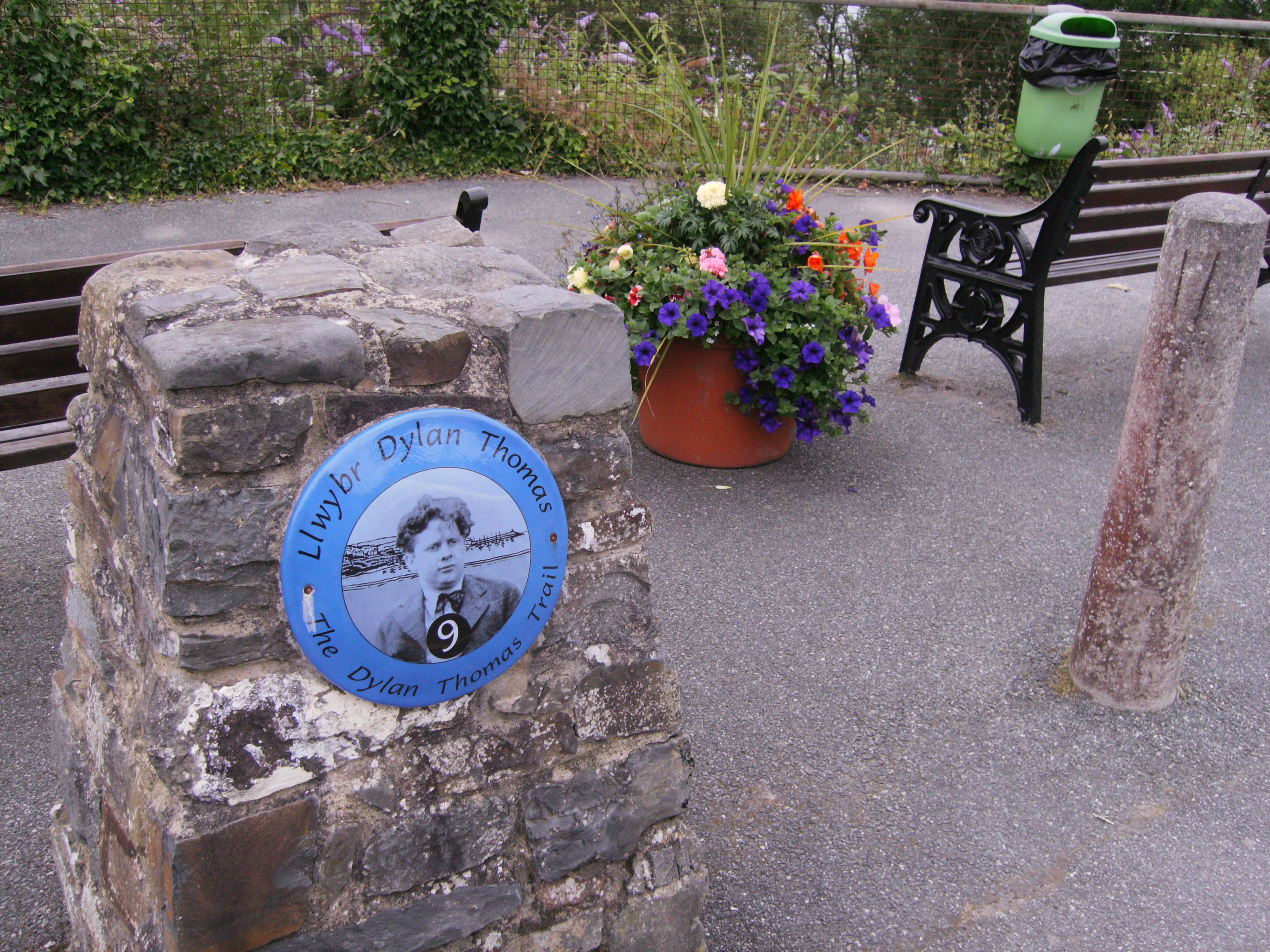
Dylan Thomas Trail
The Dylan Thomas Trail (Welsh: Llwybr Dylan Thomas) runs through places associated with the poet Dylan Thomas in Ceredigion, west Wales. It was officially...

Llanon
Llanon (Welsh pronunciation: [ɬanˈɔn]; also spelled Llan-non) is a village in Ceredigion, Wales. It adjoins the village of Llansantffraed on the coast...

Llansantffraid, Ceredigion
Llansantffraid or Llansantffraed (Welsh: Llansanffraid) is a small rural village and community and practically merged with the village of Llanon just west...

Afon Wyre
Afon Wyre (Welsh pronunciation: [ˈʊɨ̯rɛ] ), (English: River Wyre), is a small river in the county of Ceredigion, Wales; also called Afon Wyre Fawr ("Great...
Nearby Amenities
Located within 500m of 52.282302,-4.1768421Have you been to Llannon?
Leave your review of Llannon below (or comments, questions and feedback).